
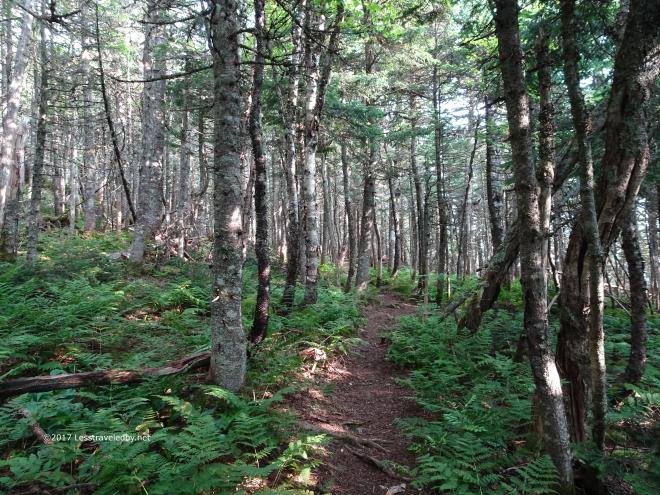
Day One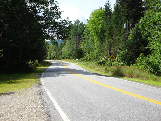 Road walk to start of about half a mile to where you pick up a snowmobile trail that leads to the real trail a mile or so in.
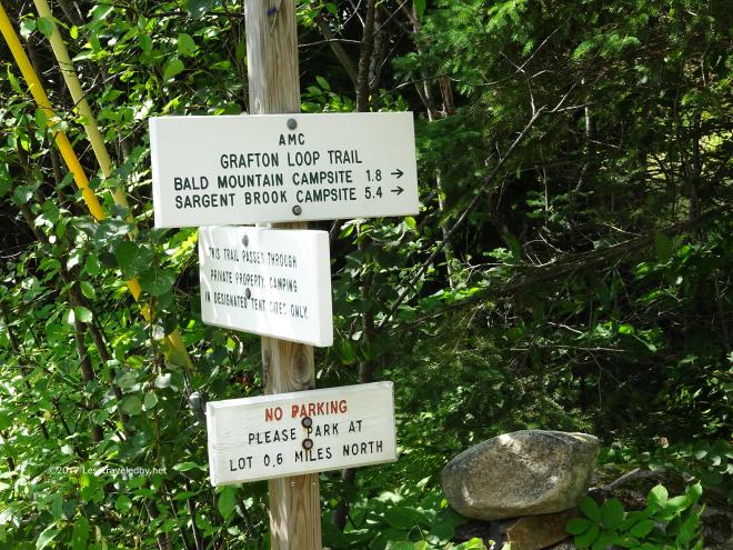
 Crossing Bear River via the snowmobile bridge
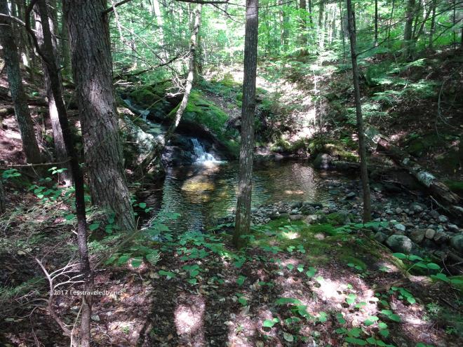
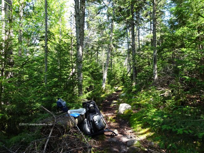 Lunch break after climbing over the first mountain of the day
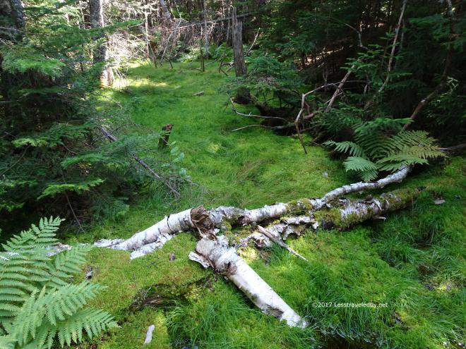 Mossy glen in the col
 Closing in on the tree line you can start to see more sky between them. It gives you hope!
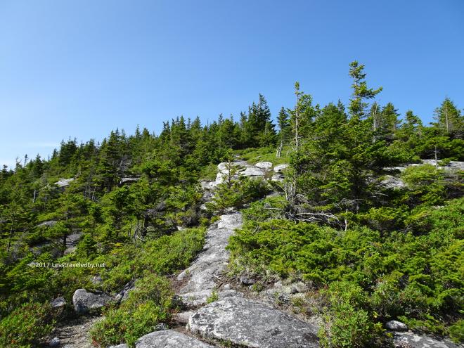 Then this!
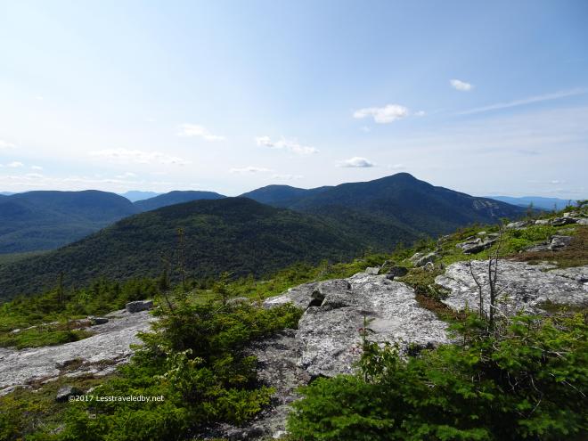
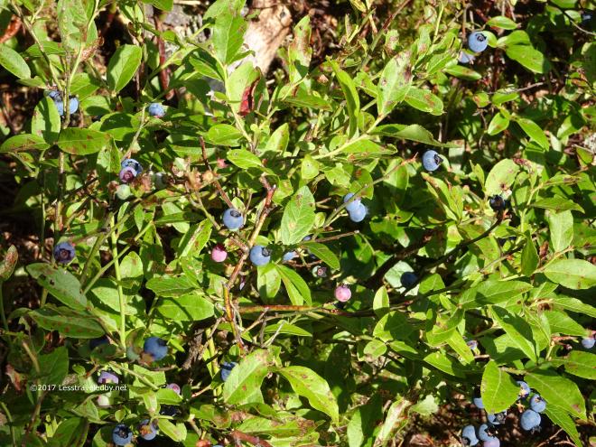 Oh, plus you get free fruit. A little hard to get there, but darn tasty.
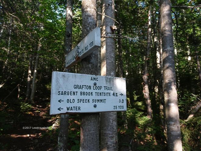

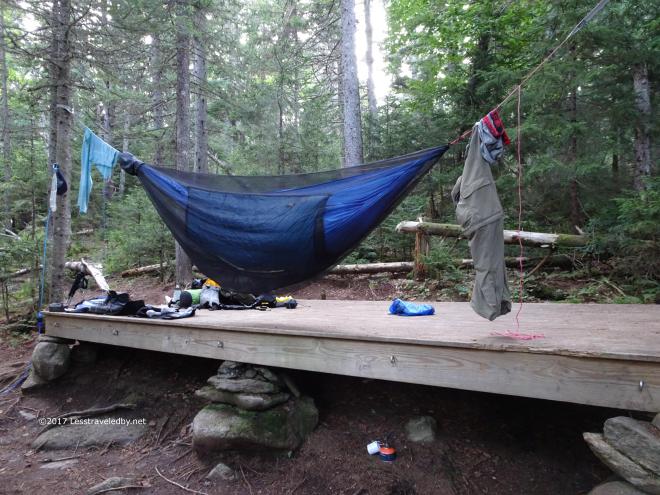 The tarp isn’t up yet, but the laundry has been hung out to dry
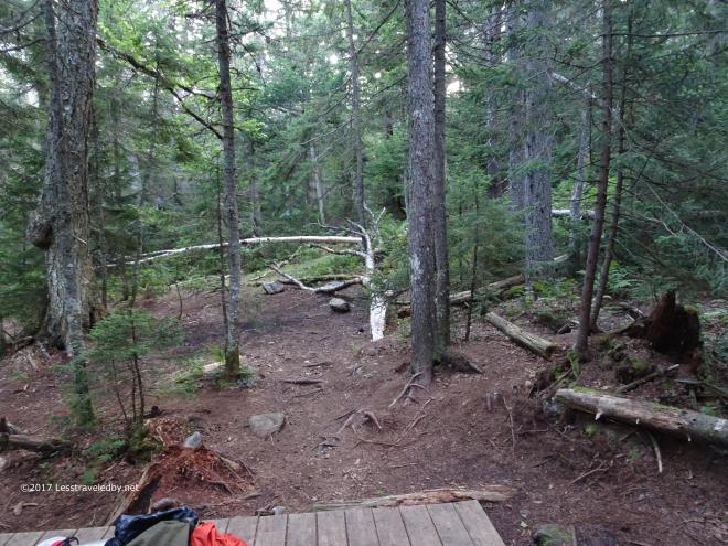 Always windy here and there are lots of dead trees laying all around the campsite. Restful.
Day Two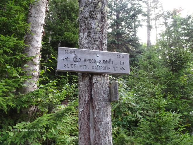
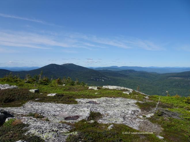
 Looking back at Sunday River Whitecap, the big mountain of day one. Now we are above it.
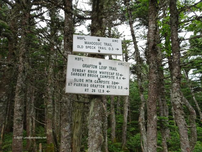
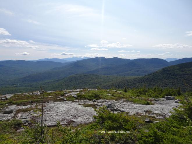
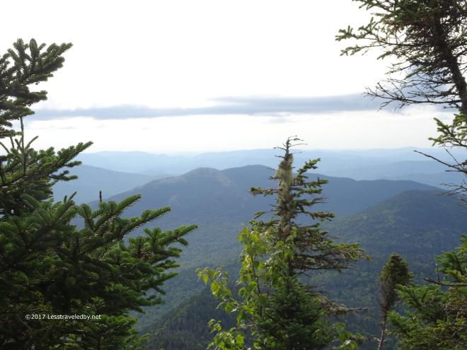
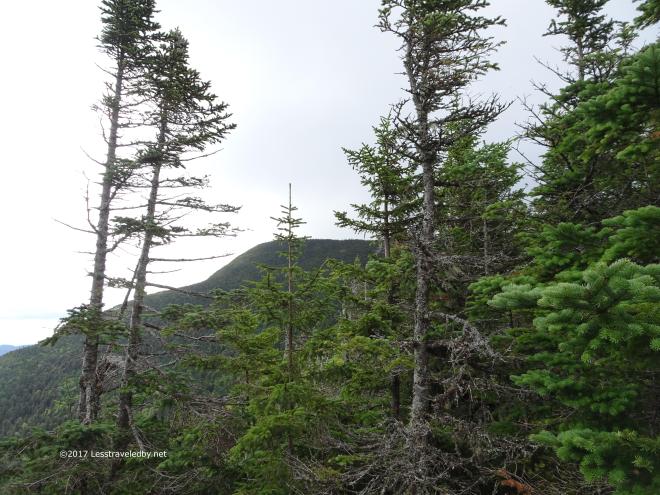
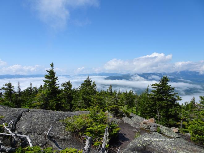
 Thin clouds were flying past from left to right almost obscuring the Baldpates on the other side of the notch.
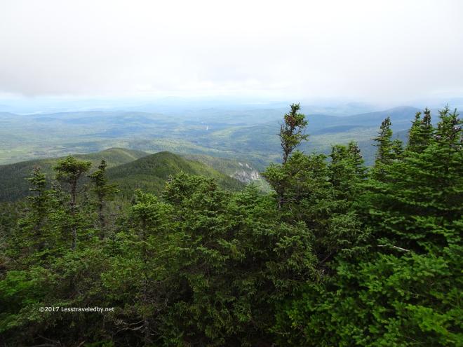
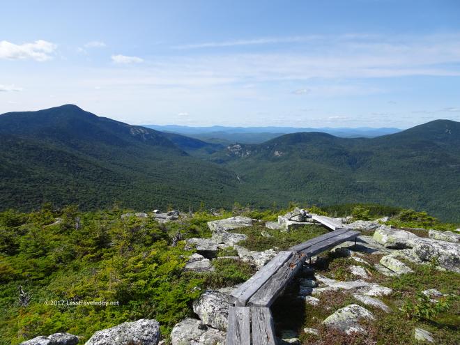
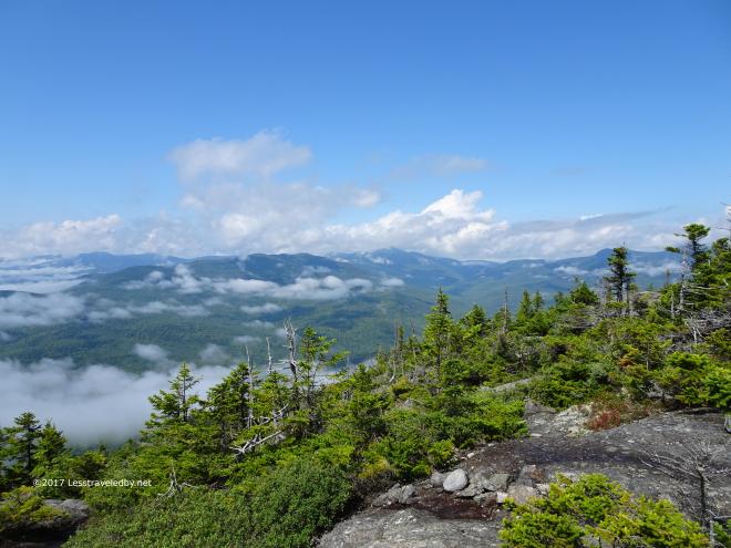
 Half way down looking back up towards the summit of Old Speck
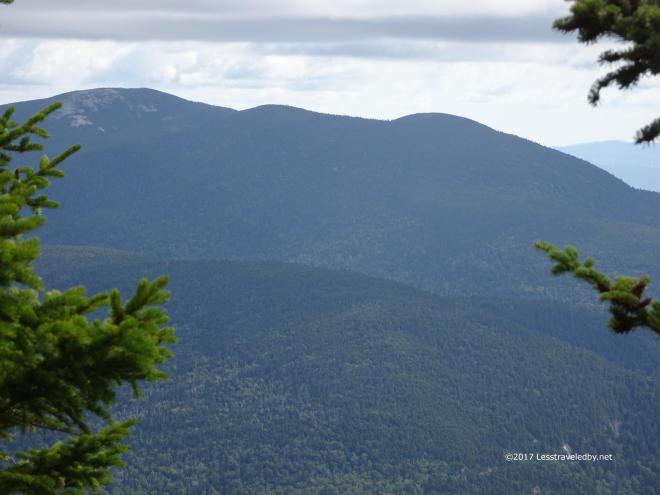 A nice view of Hedgehog Hill, West Baldpate and finally on the far left the open slabs of East Baldpate.
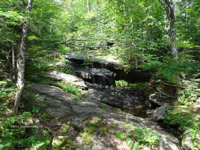
 To heck with those Baldpates, I’m sleeping here.
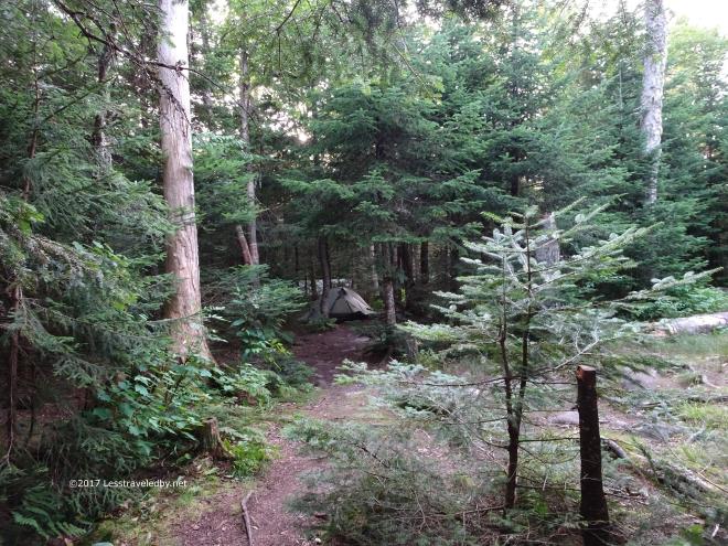 Along with about twenty AT thru hikers.
Day Three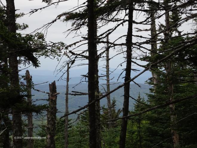 I had a lot of miles to do and weather was threatening so this is the only pic from the first climb.
 Just as I reached the summit the rain began to fall.
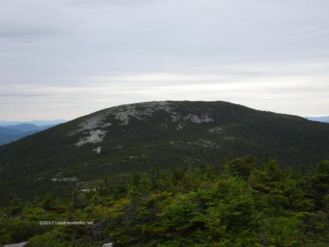 With the wind picking up and water coming down I knew the exposed climb ahead would be “fun”.
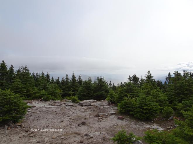
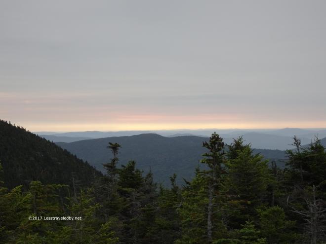 Dawns last gleaming or Sailor take warning
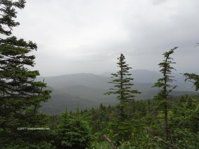 One last pic of the disappearing mountains and then the camera was packed away for the rest of the very very very long day.
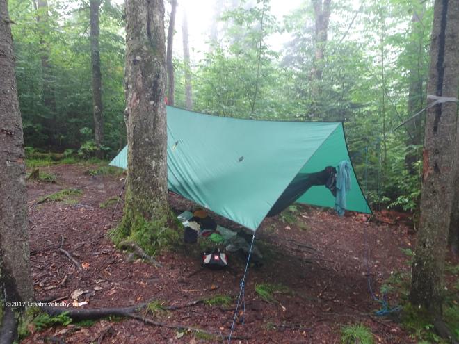 Completely soaked, exhausted and starved is no time to find out you have a tangled ridgeline. Had to sit down to calmly deal with that before I froze to death, then set up camp, get wet clothes off and get dry clothes and down quilts wrapped around me. Rough day 🙂
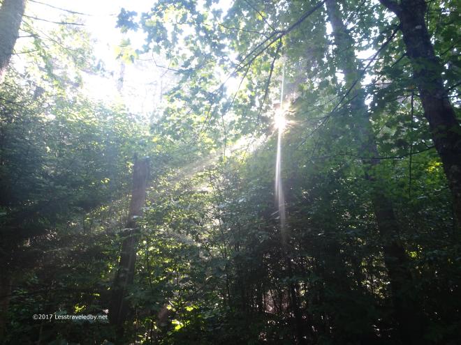 There’s got to be a morning after, right? Well I was still feeling pretty crappy, but this sunshine certainly lifted my spirits.
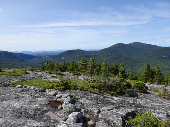
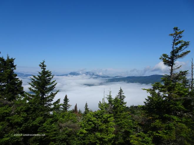 As did the views on top of Puzzle Mountain.
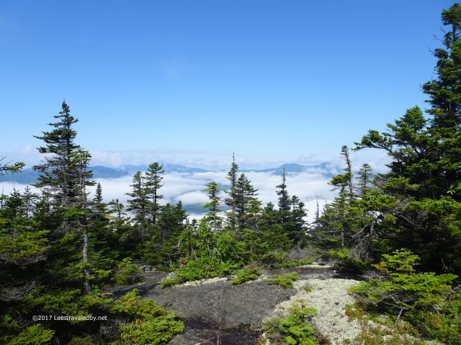
 The climb down was wet, steep rock slabs which were very tricky so no more pictures. We’ll just leave these happy little cloud pictures as the end of the story for now. This last shot shows most of the mountains along the loop. Perhaps that will help you understand why it has taken me so many attempts over the years to finally make it all the way around. If not this might help…
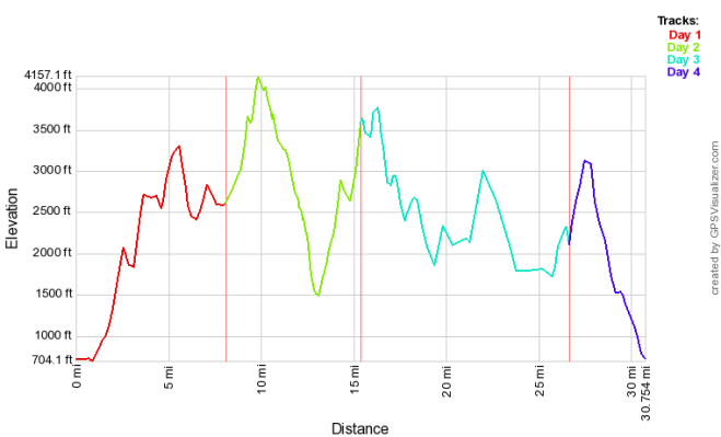
Being an elevation profile the actual trail distances are compressed. The actual miles were about 11 on day one, about 7 on day two, 15 on day three and 6 on the last day with the total loop listed as being 39 miles.
