
61 pics and random babbling from another amazing Cohos section: Coleman SP to Stark. This time I came armed with better insulation except for one important omission and of course not nearly enough socks!
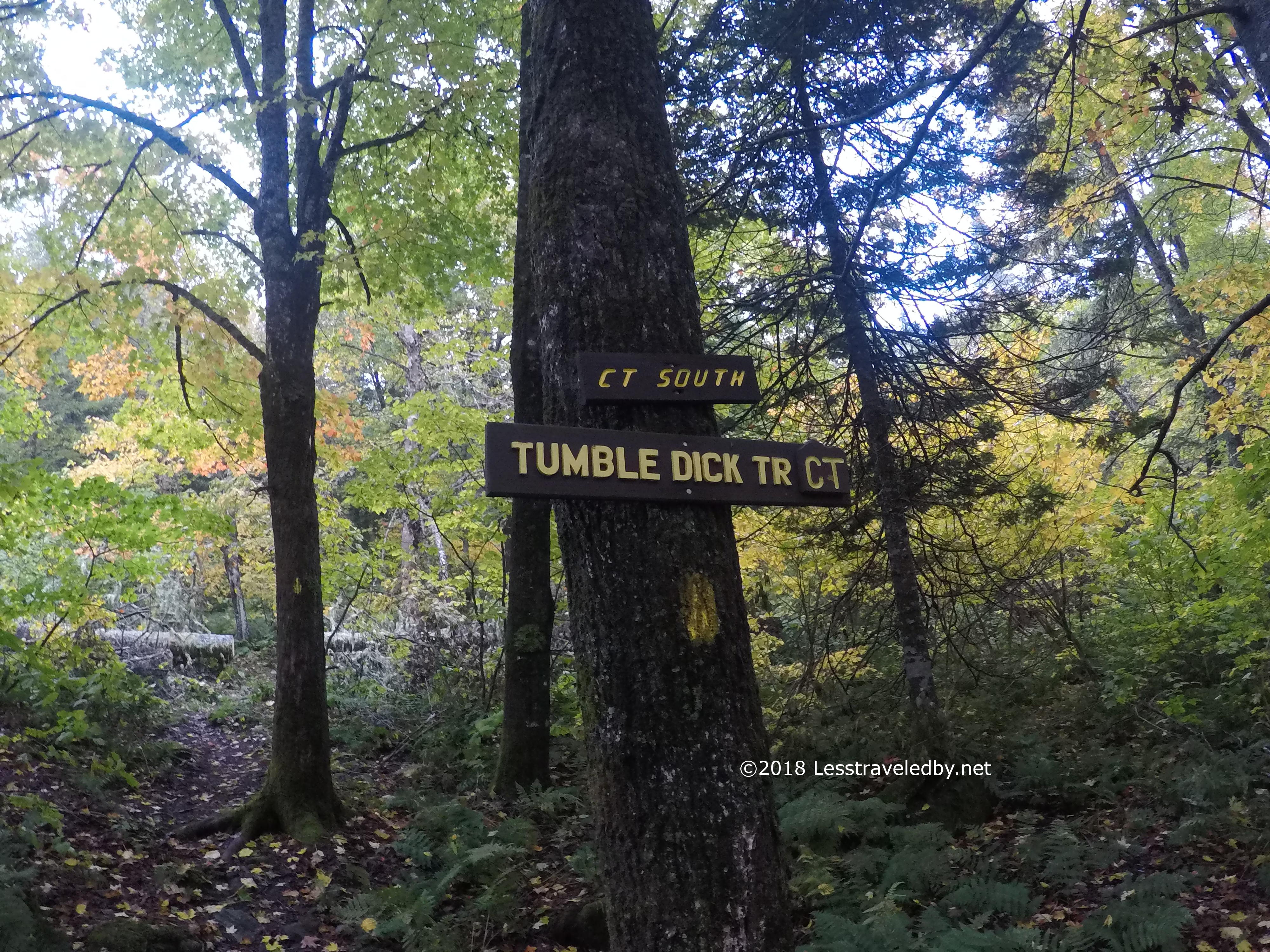
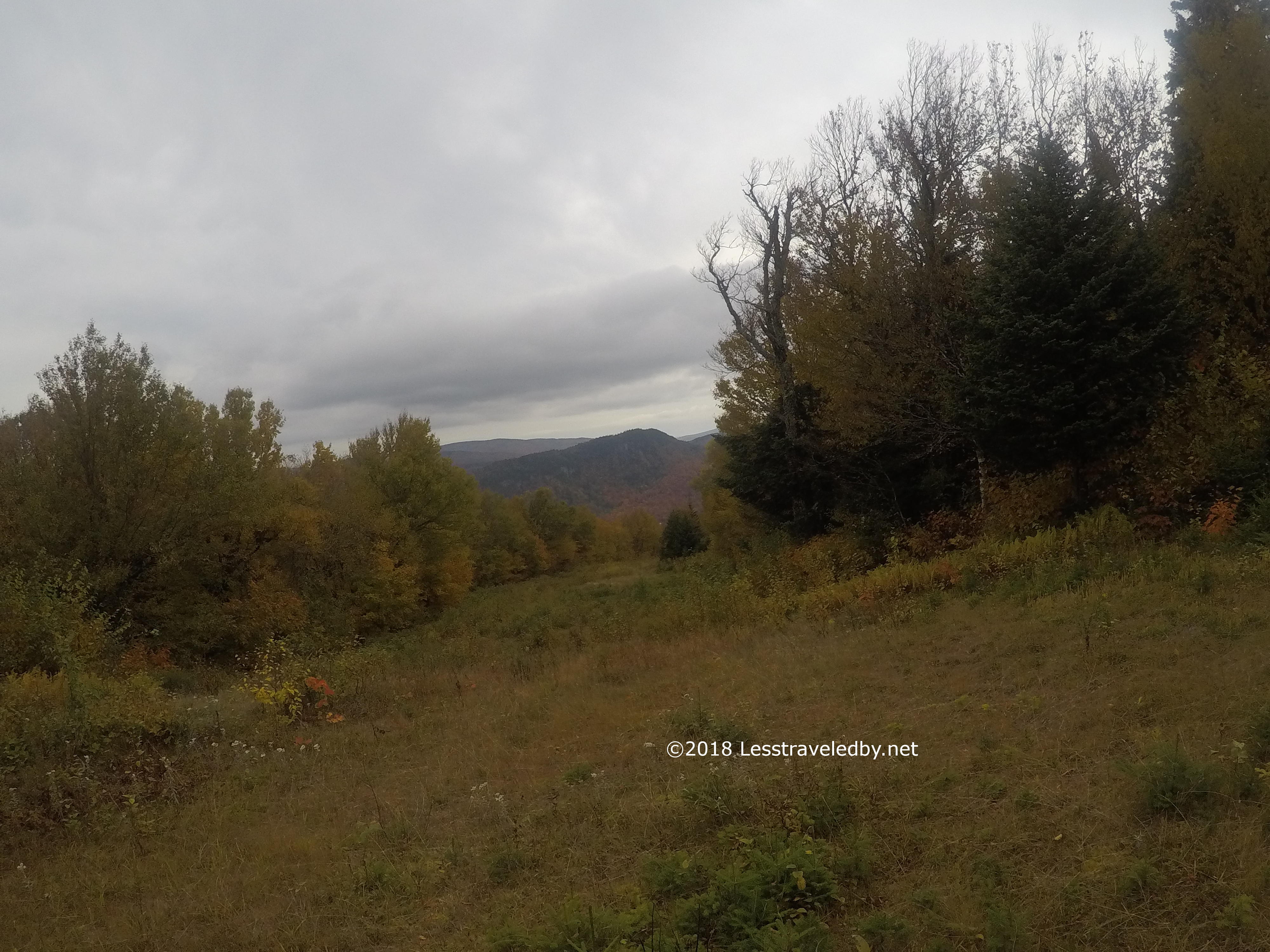
The folks at the Stark Village Inn weren’t available for a shuttle on the day I started, so I made arrangements for parking the scoot at Coleman State Park and getting a ride back when I finished. I hit the trail around 1pm after making a tour of the campground because I missed the trail the first time heh. That was about as lost as I got the rest of the trip, so glad I got it out of the way early.
The Tumbledick Trail passed through a few areas that had been forested but were in various stages of growing back. In one of these spots I scared a bear out from a pile of slash pretty close to the trail. He must have been napping to not hear me coming sooner. I felt bad about how scared he was, but after the bear that wasn’t scared I was glad to see his butt tearing off down hill away from me heh.

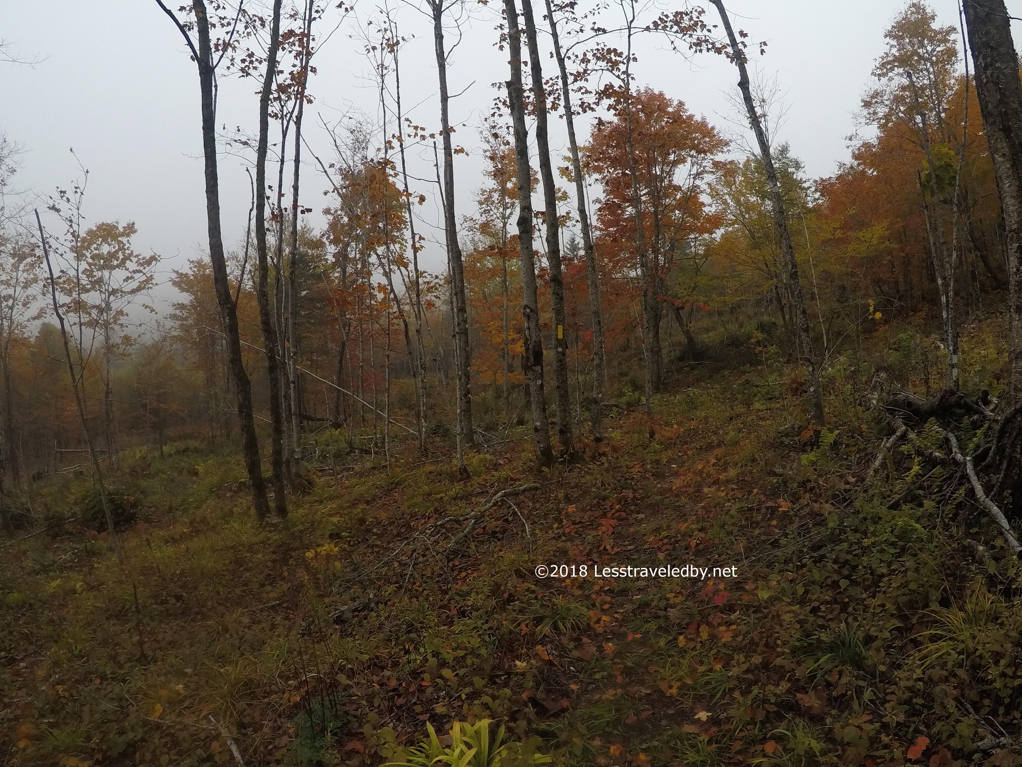
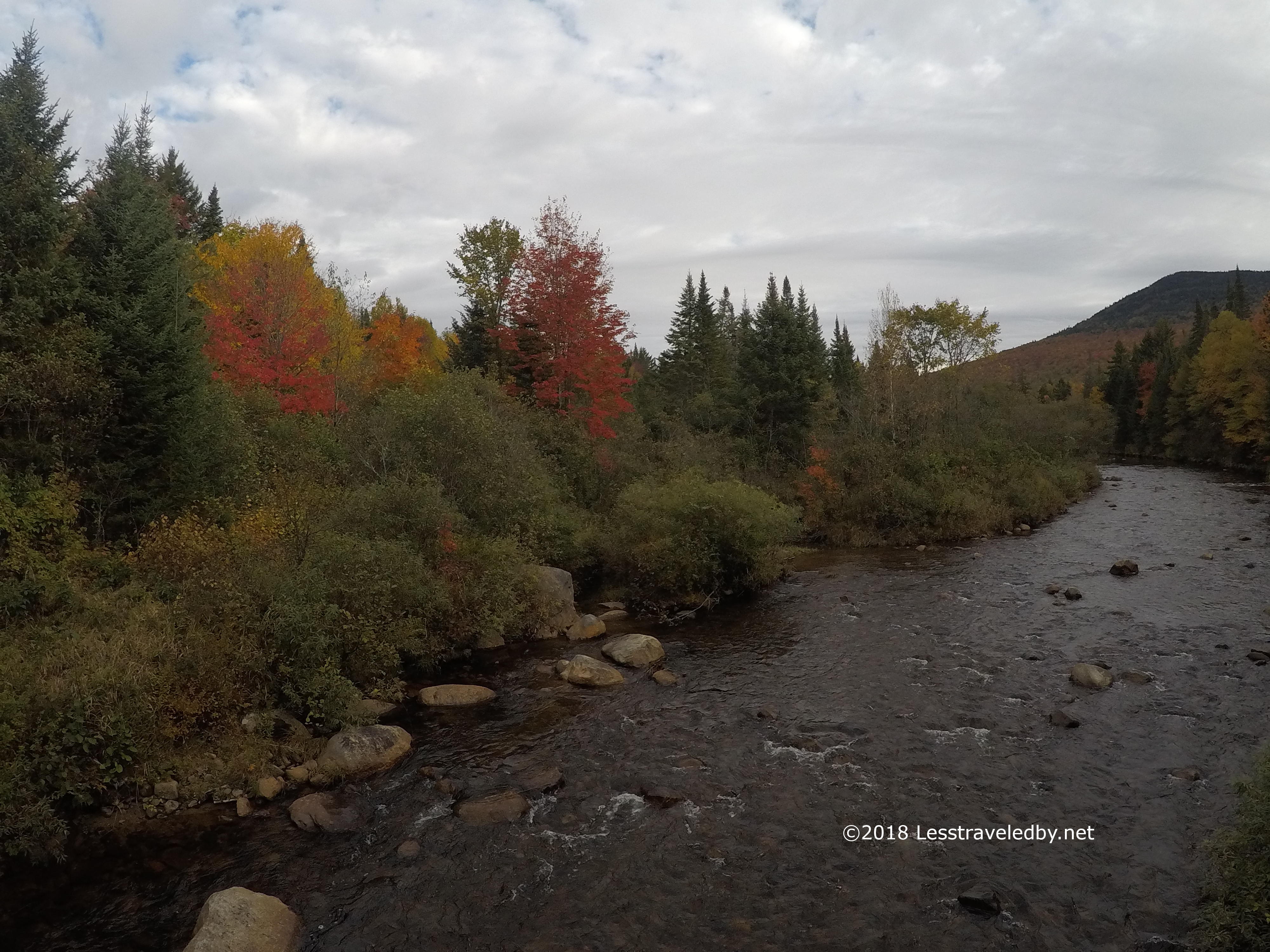
The trail had been pretty squishy throughout, but sometimes all the water was put to good use. There was a sign reading Allison Falls here and it seemed a lovely place to be on a warmer and dryer day. I didn’t stay long…this time.
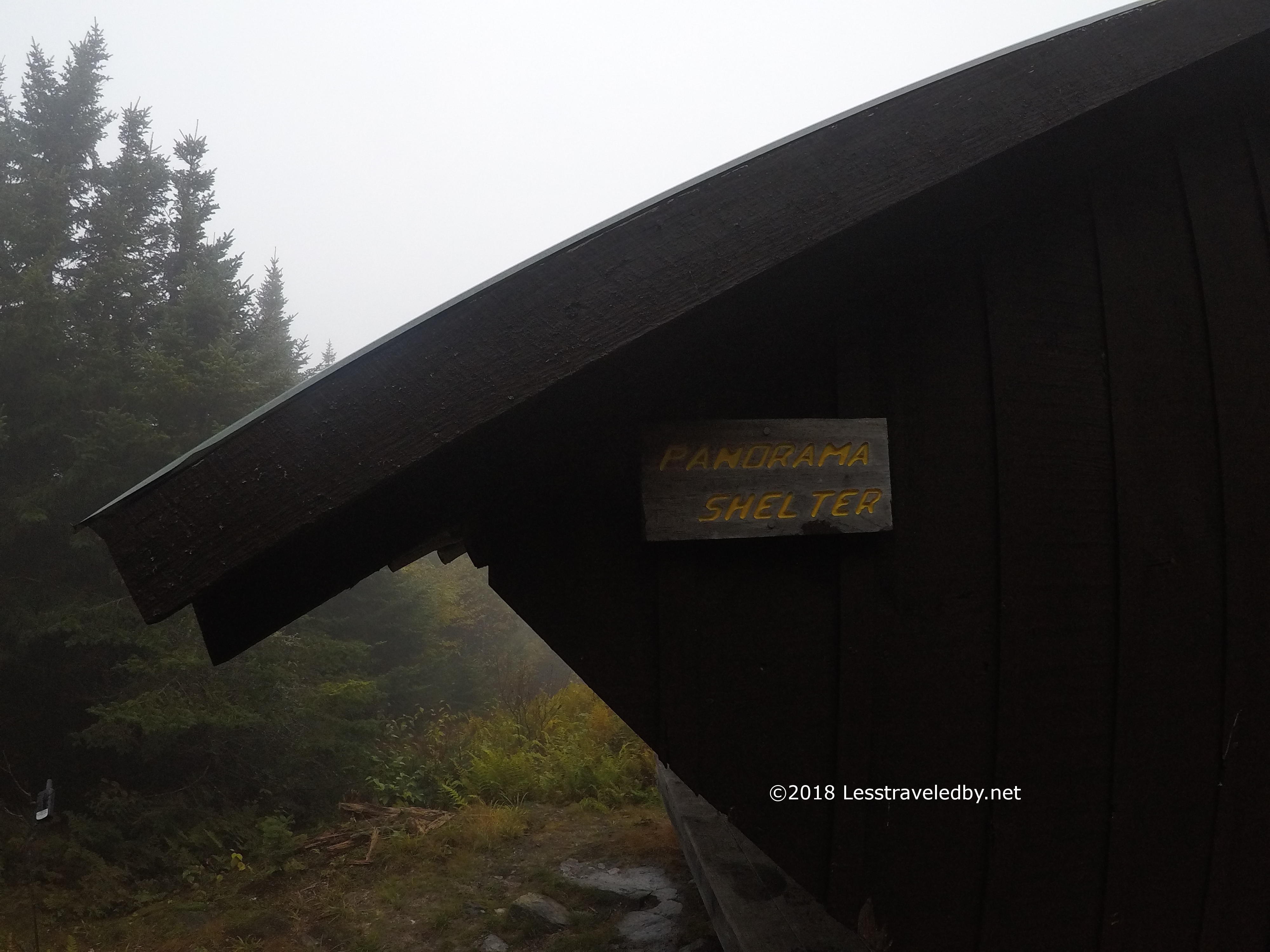
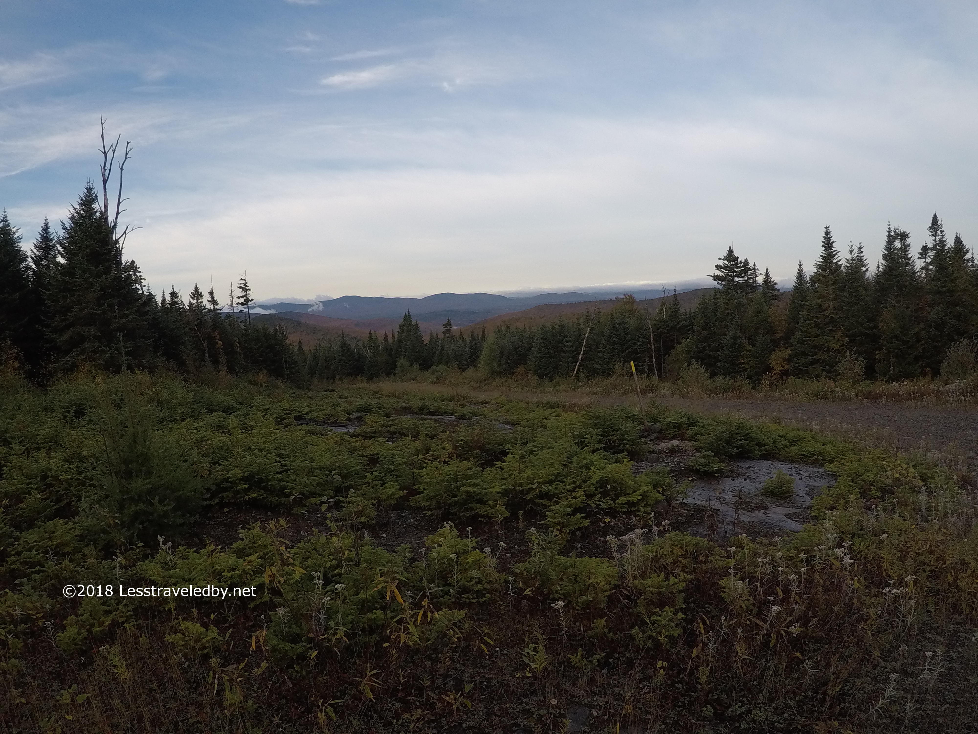
It was a short day ending at the Panorama shelter after about 3 hours from Coleman. As the cloud bounced up and down off the ridge the air would go from wet to wetter. I grabbed a bag of water from the flow just a bit south on the trail that passed right in front of the shelter. Looking at how dense and wet the forest was I opted to stay in the shelter. That is when I realized that I’d forgotten to add a sleep pad for just such an occasion.

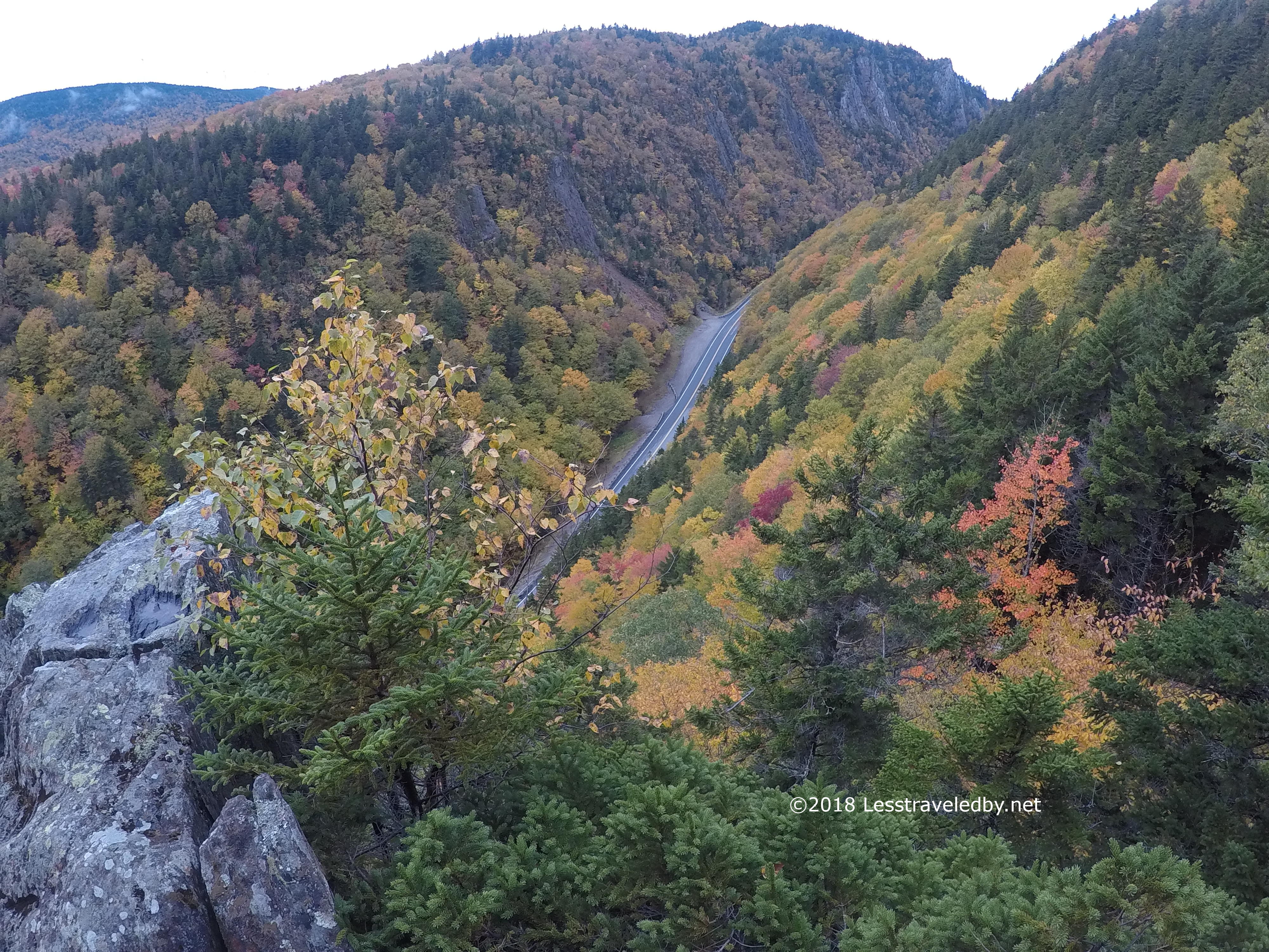
In between rain splatters I caught this picture of the panorama heh. Then it was dinner and curling up on the boards on top of my underquilt and sit pad. The air inside the shelter was full of cloud in the light from my headlamp. Better than outside, but definitely cloudy for inside a shelter.

The morning temperature was 38°f and the clouds had parted a bit. There was coffee and my new high speed breakfast concoction. Actually it is the same old blend of two packs of Cream of Wheat plus one pack of full fat cocoa. Recently I discovered by accident that if you add too much water you can chug the whole thing in a couple of minutes. Much faster without chewing and no spoon to clean up heh.

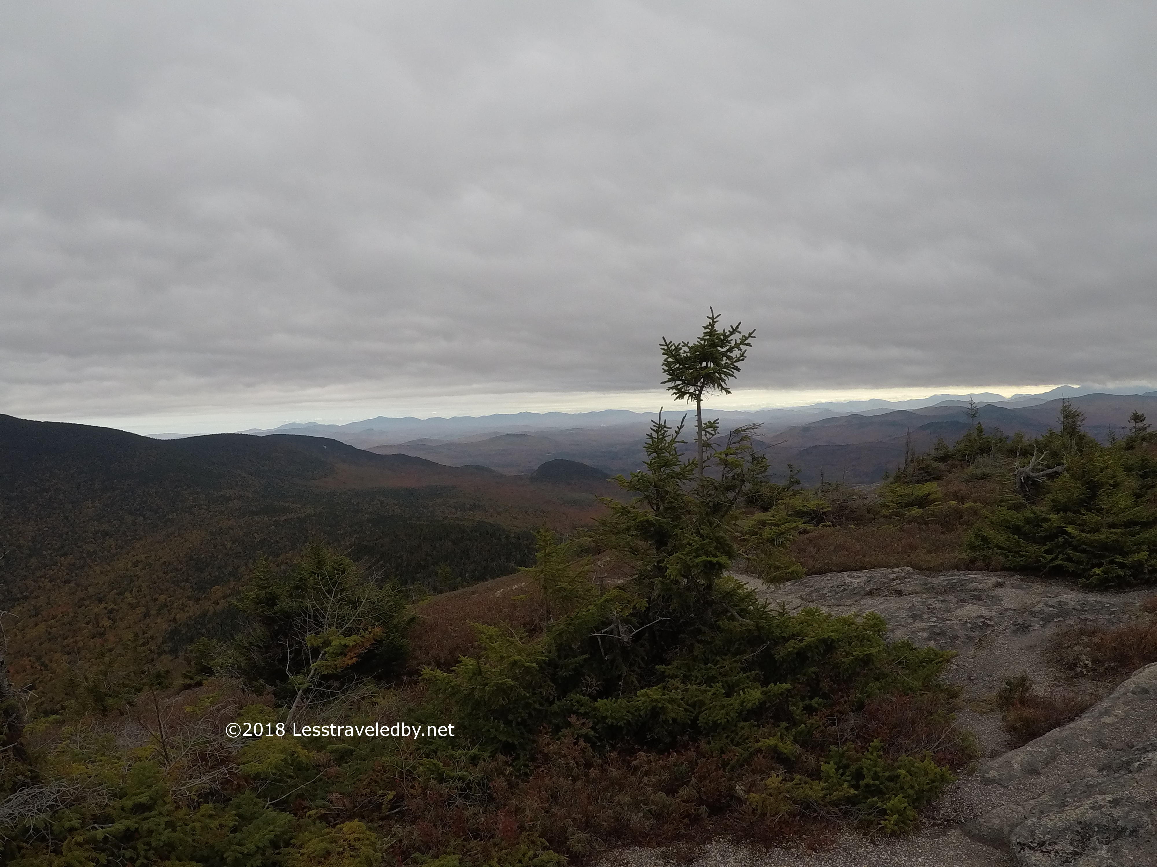
That left more time to appreciate the changing view, but it was chilly and despite the happy looking sky I was expecting sadness later in the day. Best to get rolling and watch some of those beautiful yellow blazes go by.
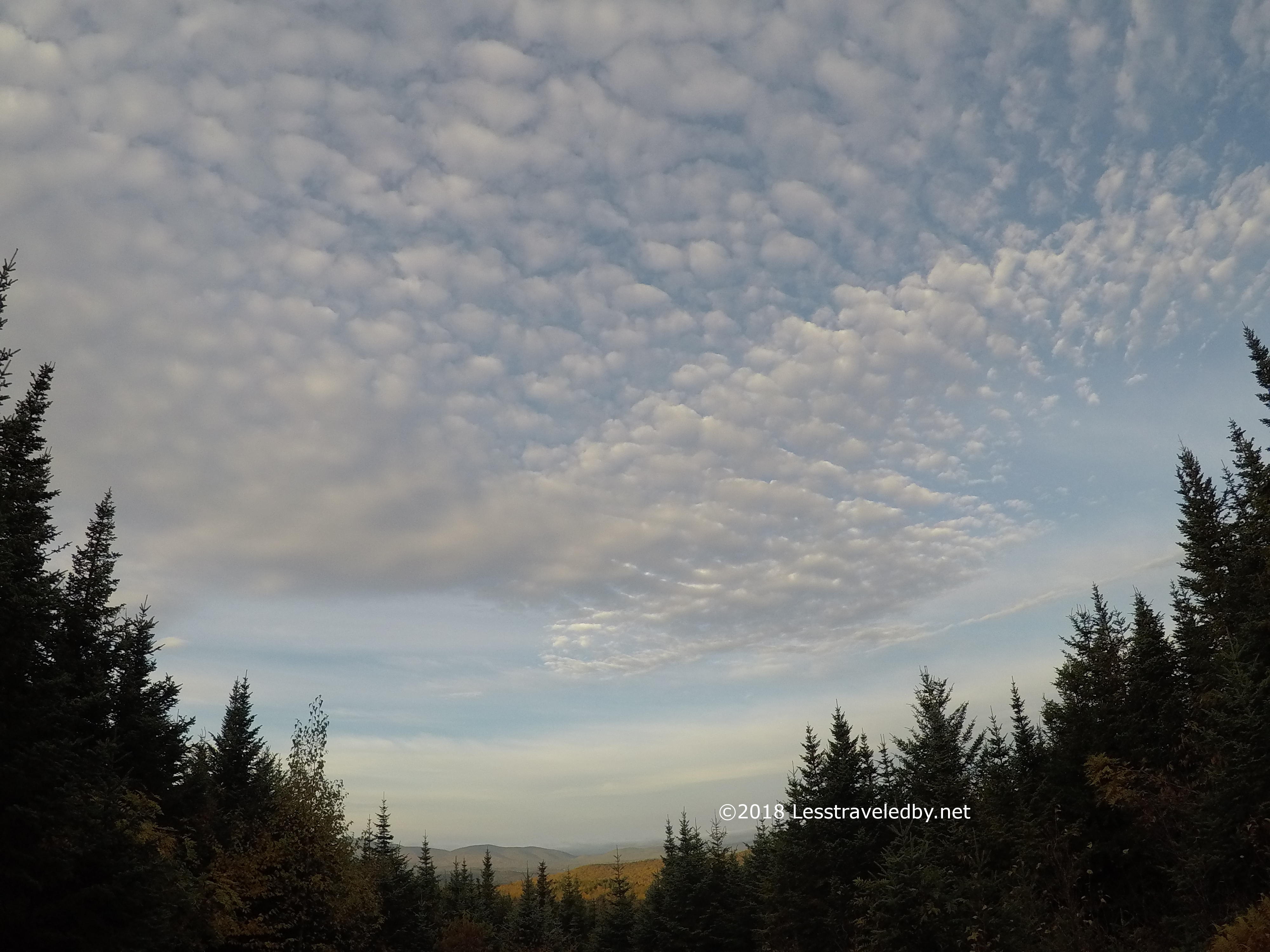
Well, OK, maybe just one more minute. That was so pretty I had to soak it in a bit more. Totally breaking the rule of thirds on this shot, but that cloud pattern was amazing!
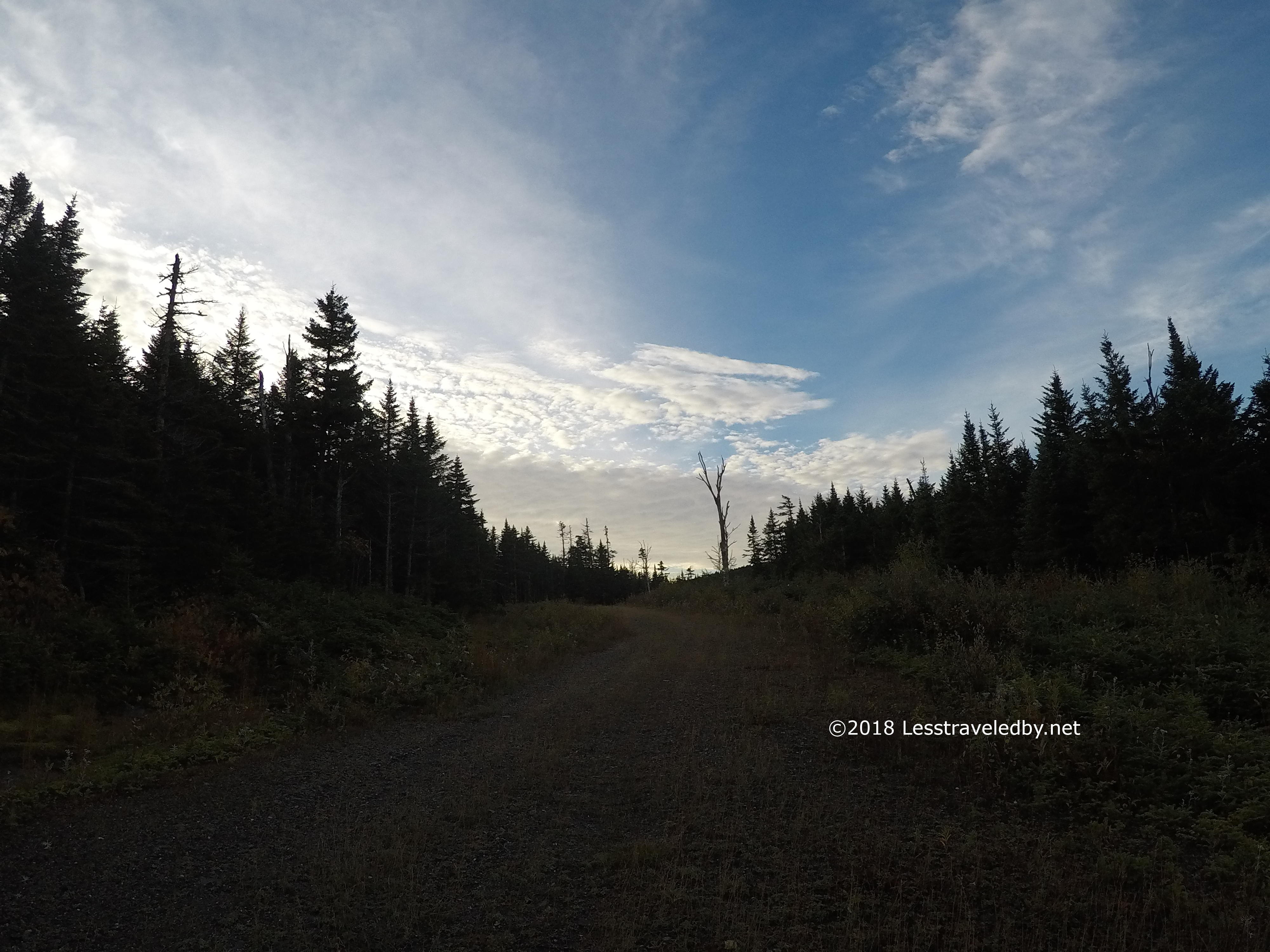
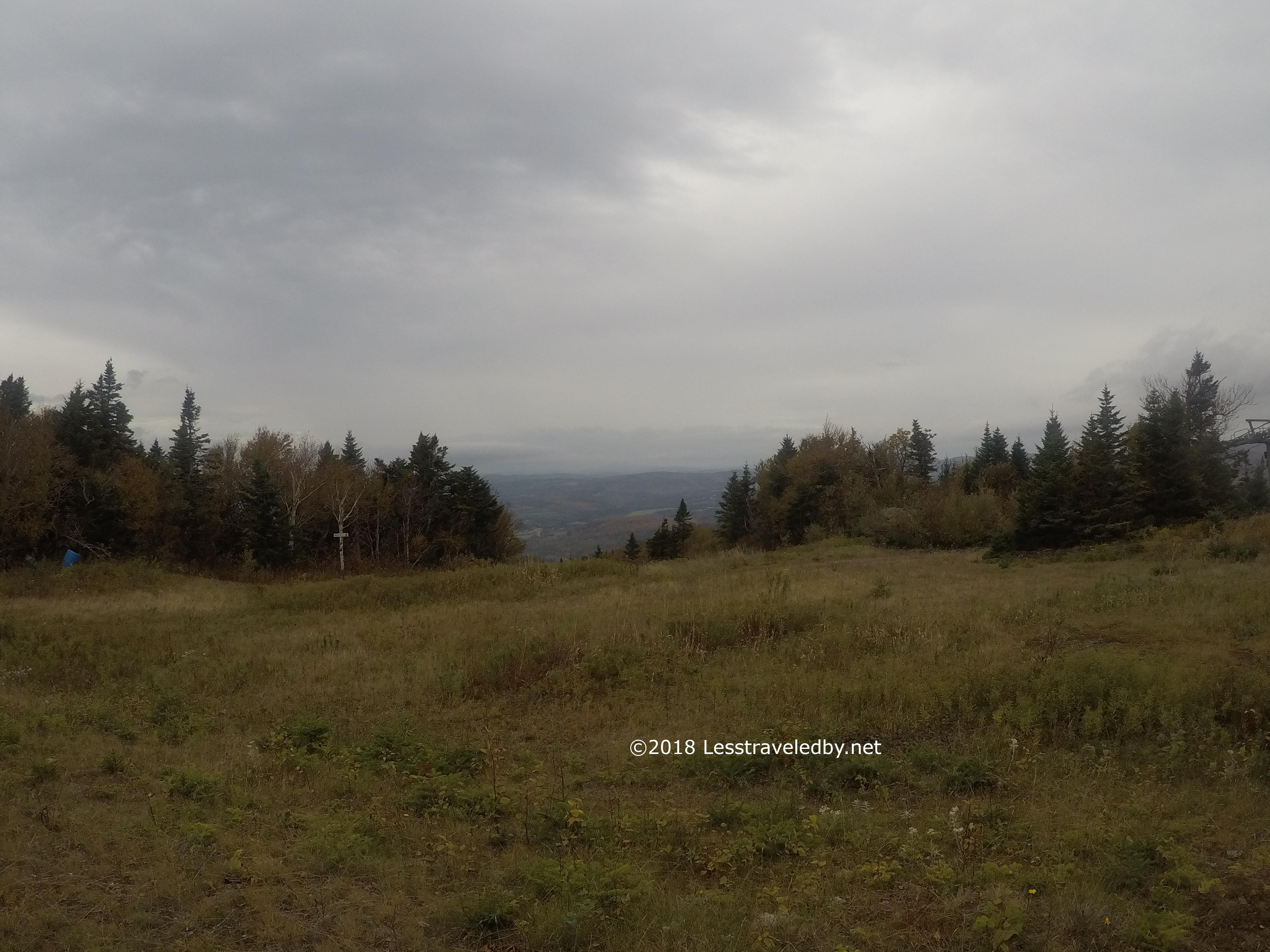
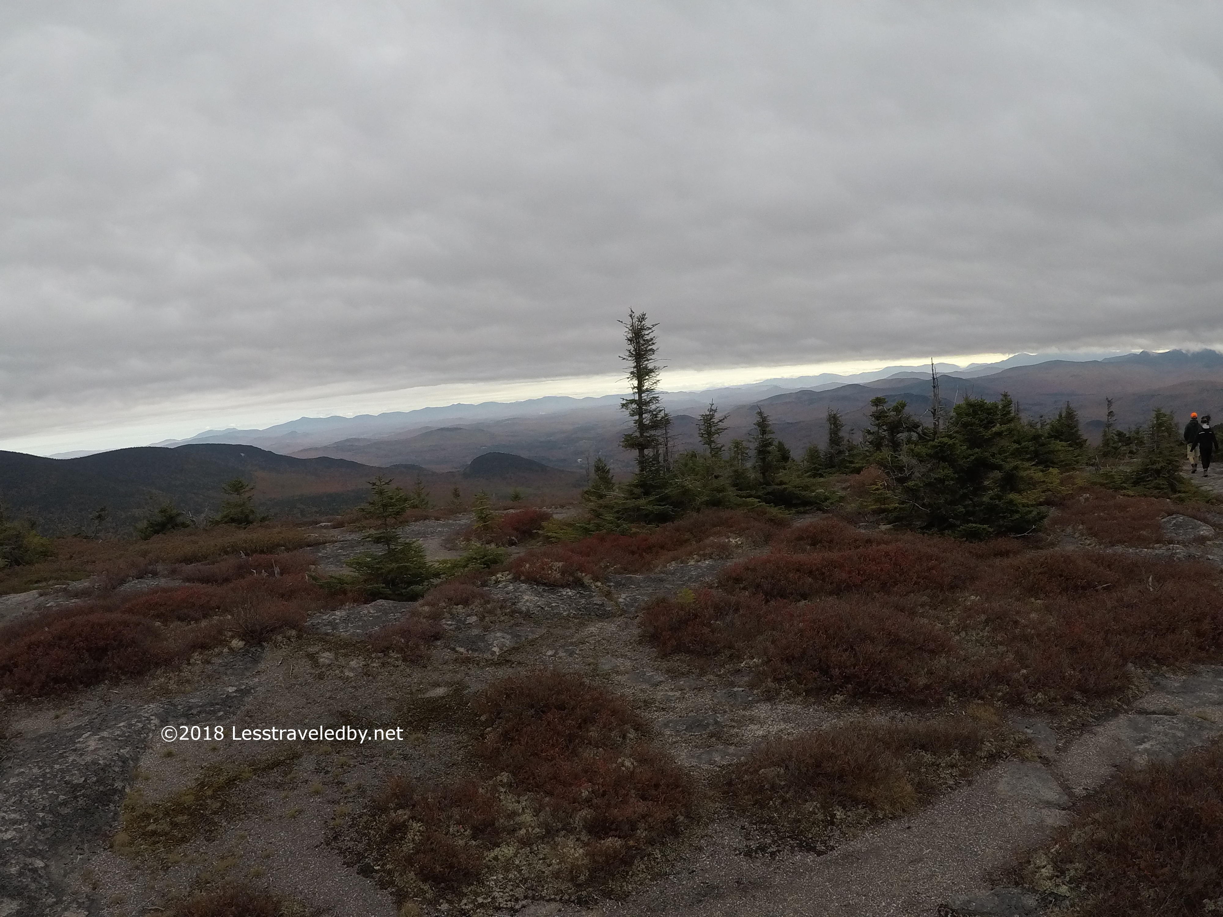
Even up on the ridge the trail was squishy. No point in worrying about it after the first ten times you hit a wet spot so you learn to laugh about it. The cool air was great for my pace. The sense that the clouds were coming for me was a good motivator too.
I felt bad for NOBO hikers having to pass by this sign on their way up from Dixville. There was a sign to the right advertising the Panorama shelter ahead via the yellow blazes though. Good placement!

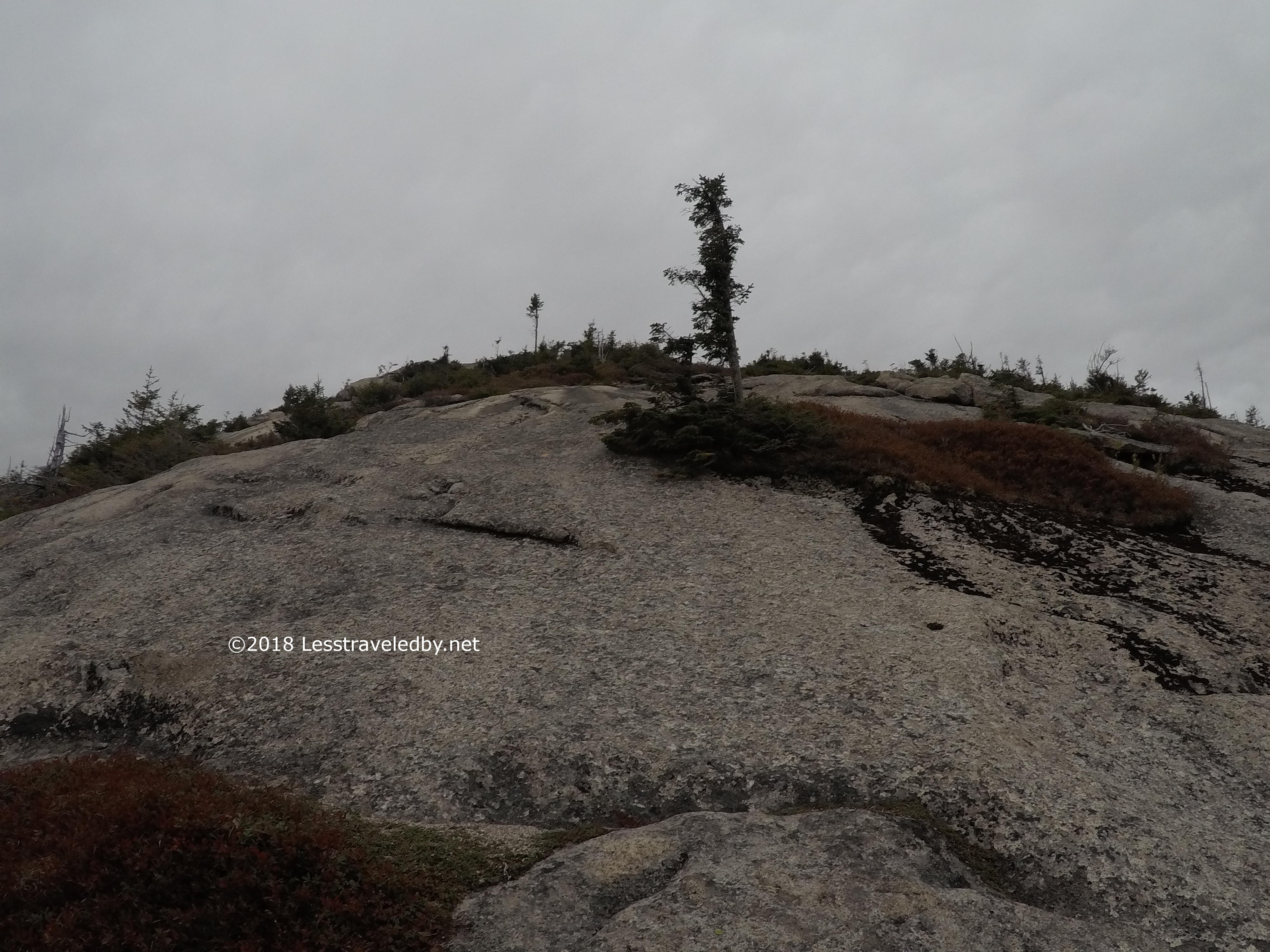
While taking some pics before descending I found my boots slipping on this rock at the edge of the void. Sorry I don’t have better pictures, but I wasn’t going out there heh. I was in a hurry, but that isn’t how I wanted to descend.

I had to avoid a few cars crossing the highway, but saw no people wandering around in the wetness. On my way back on Sunday there were people all over the area. Glad I missed the crowds.
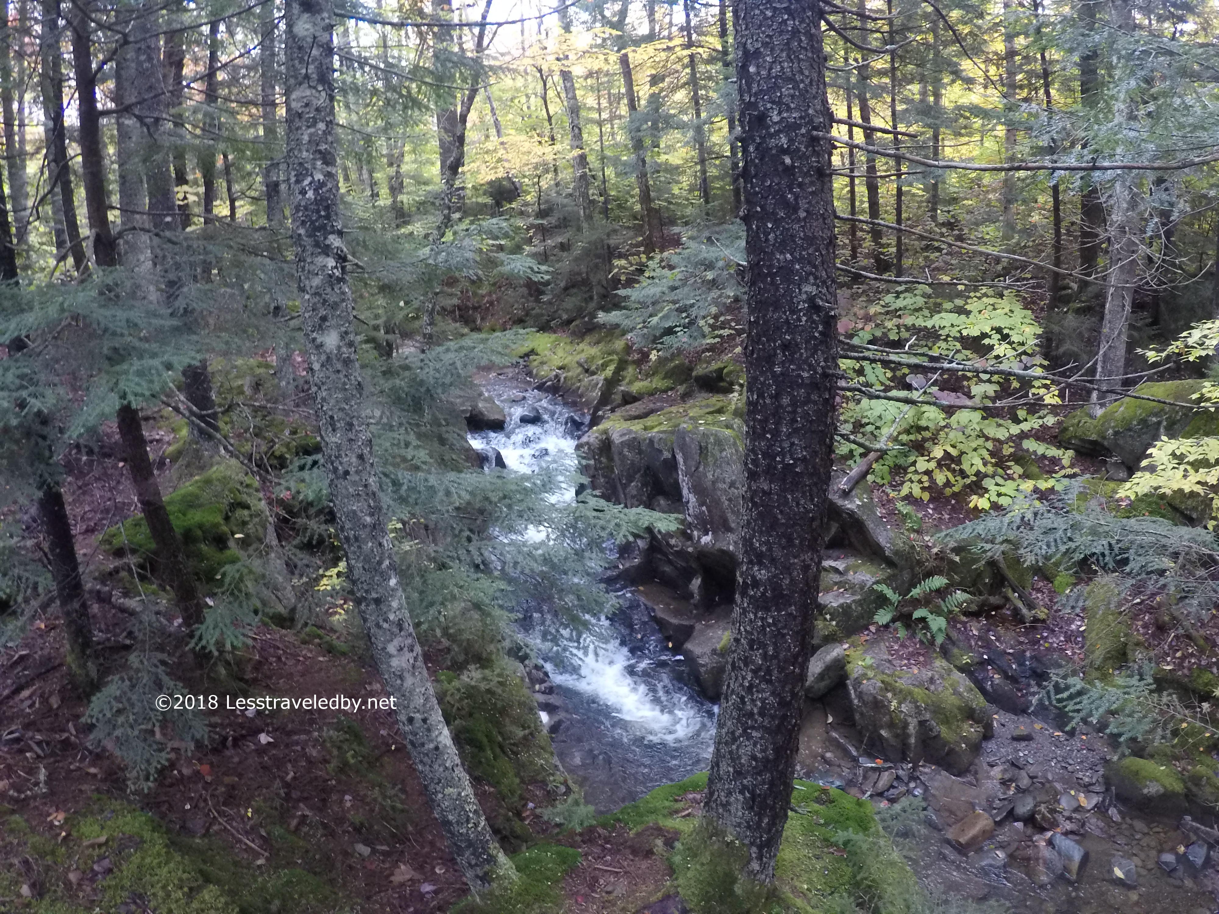
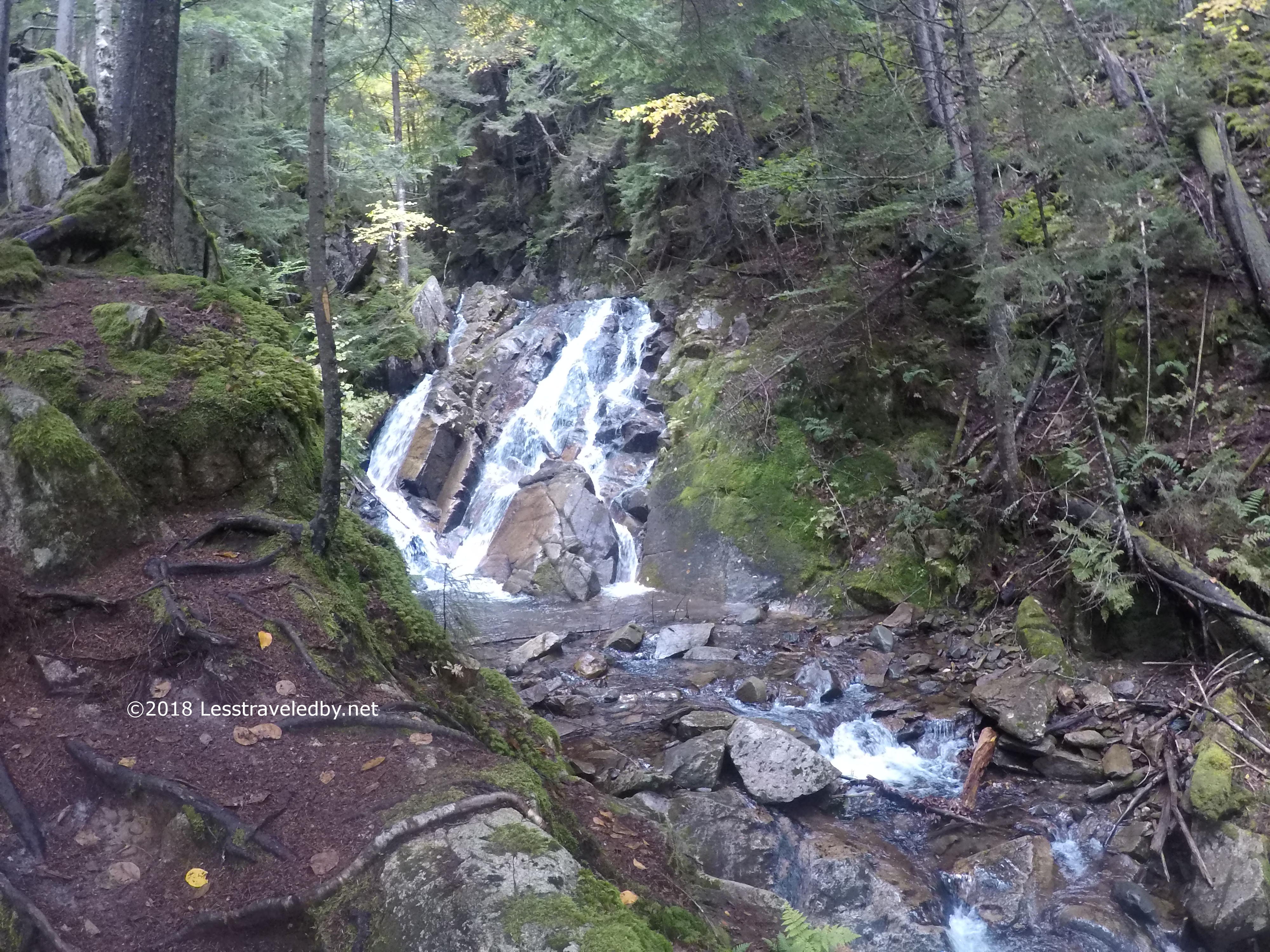
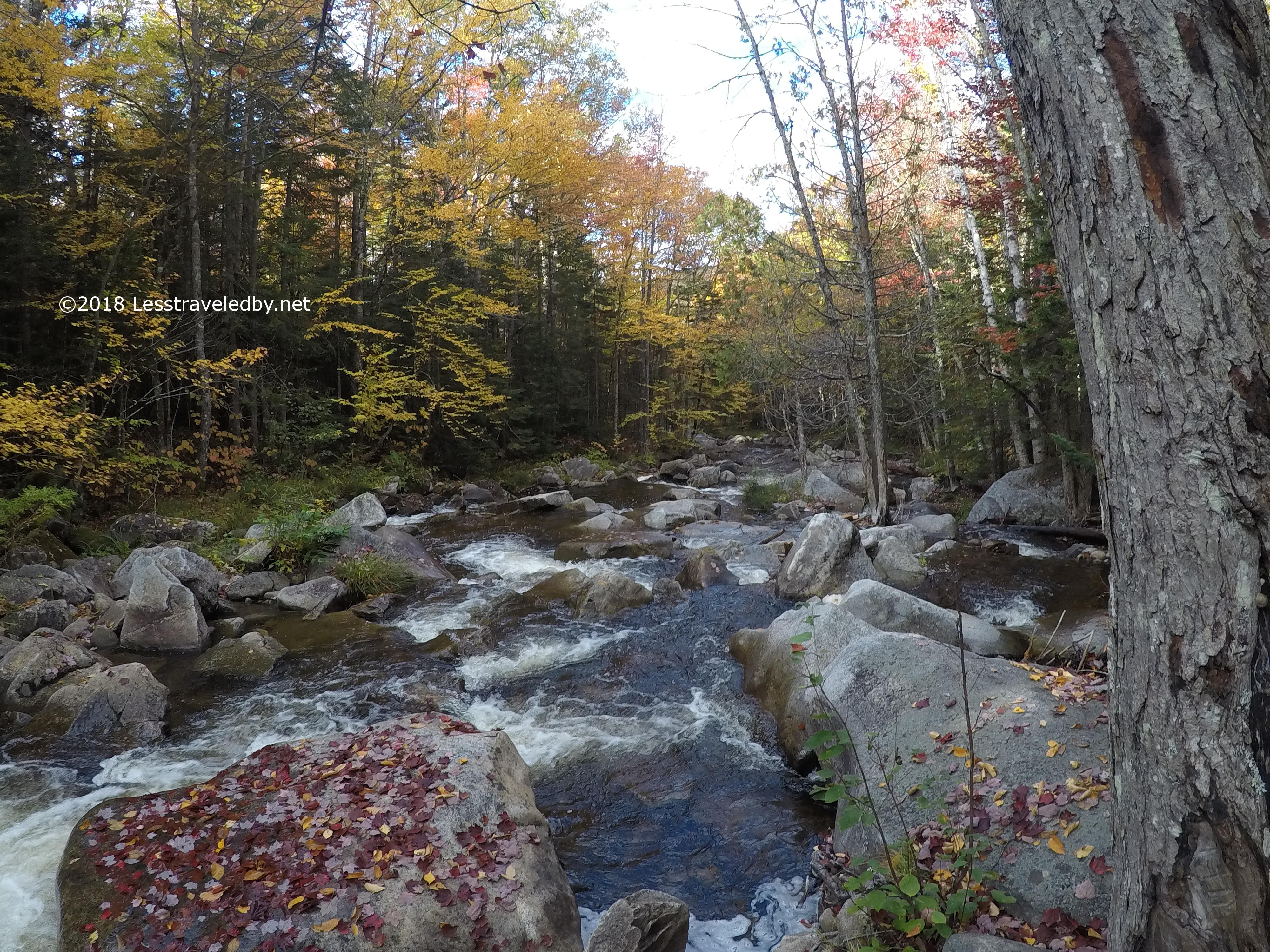
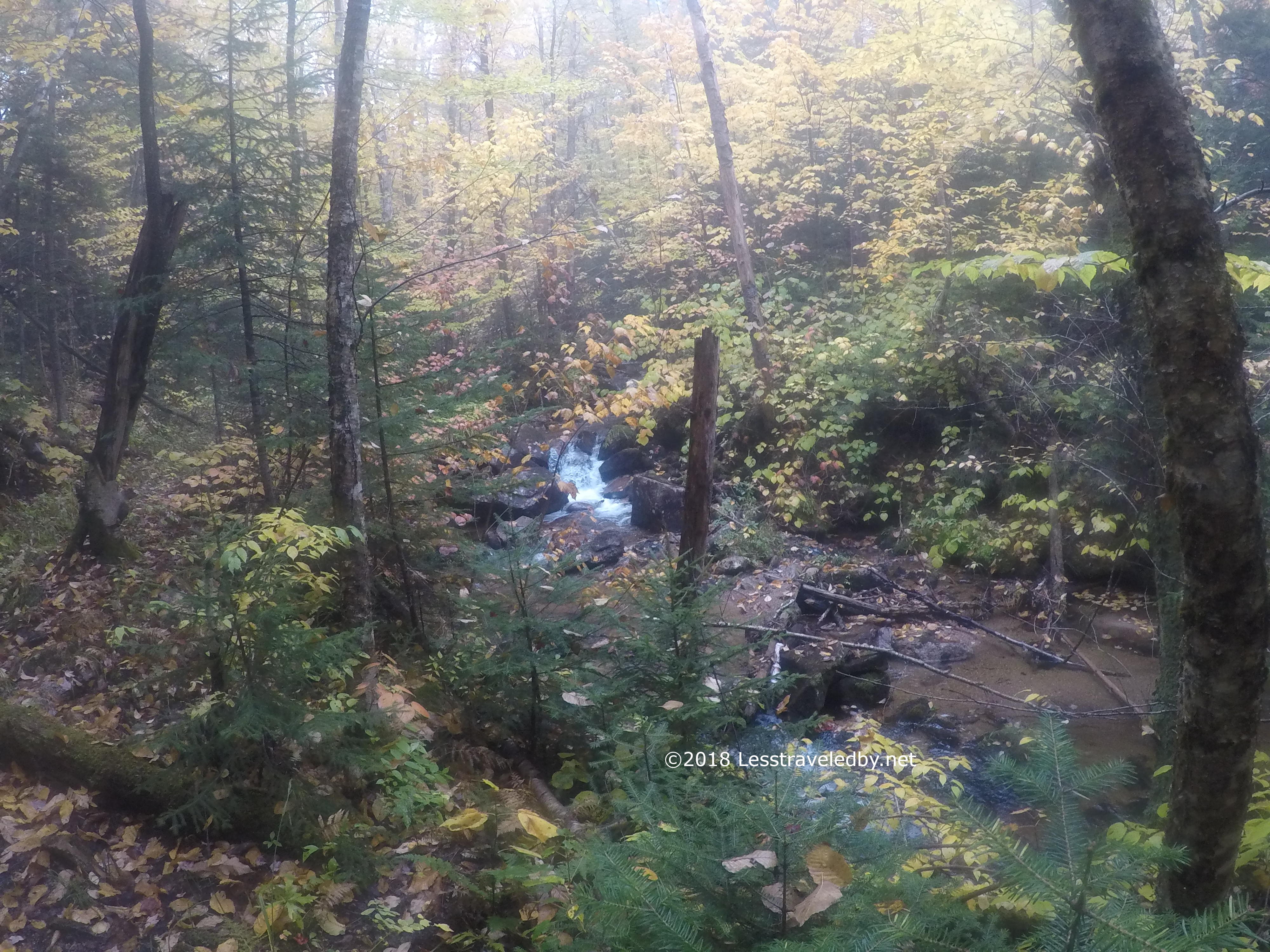
Starting the climb up the other side there was a big surprise…water! No, this part may have been squishy, I don’t recall, but it was very pretty. They list an upper and lower falls, but there was a steady cascade for quite a while.
As I climbed up the other side of the notch I could feel the moisture in the air building. The cloud was coming for me! Given the slippery rock on the other side and the increasing moisture I opted to skip the Table Rock selfie experience. I know that is wrong and bad, but there was a cloud out there looking for me!
The cloud was definitely on my trail as I passed through the open areas of the ski runs. Thankfully I had a good footpath to follow and just enough blazing to navigate without wasting any time. It was exciting to be hunted, but I was getting the sense that the cloud was going to find me before I found the Baldhead shelter.

Of course the freaky noise the wind was making as it blew through this tower didn’t help much heh. I’d hate to be up there alone on a dark day with weather closing in, except I was and it was sort of neat 🙂
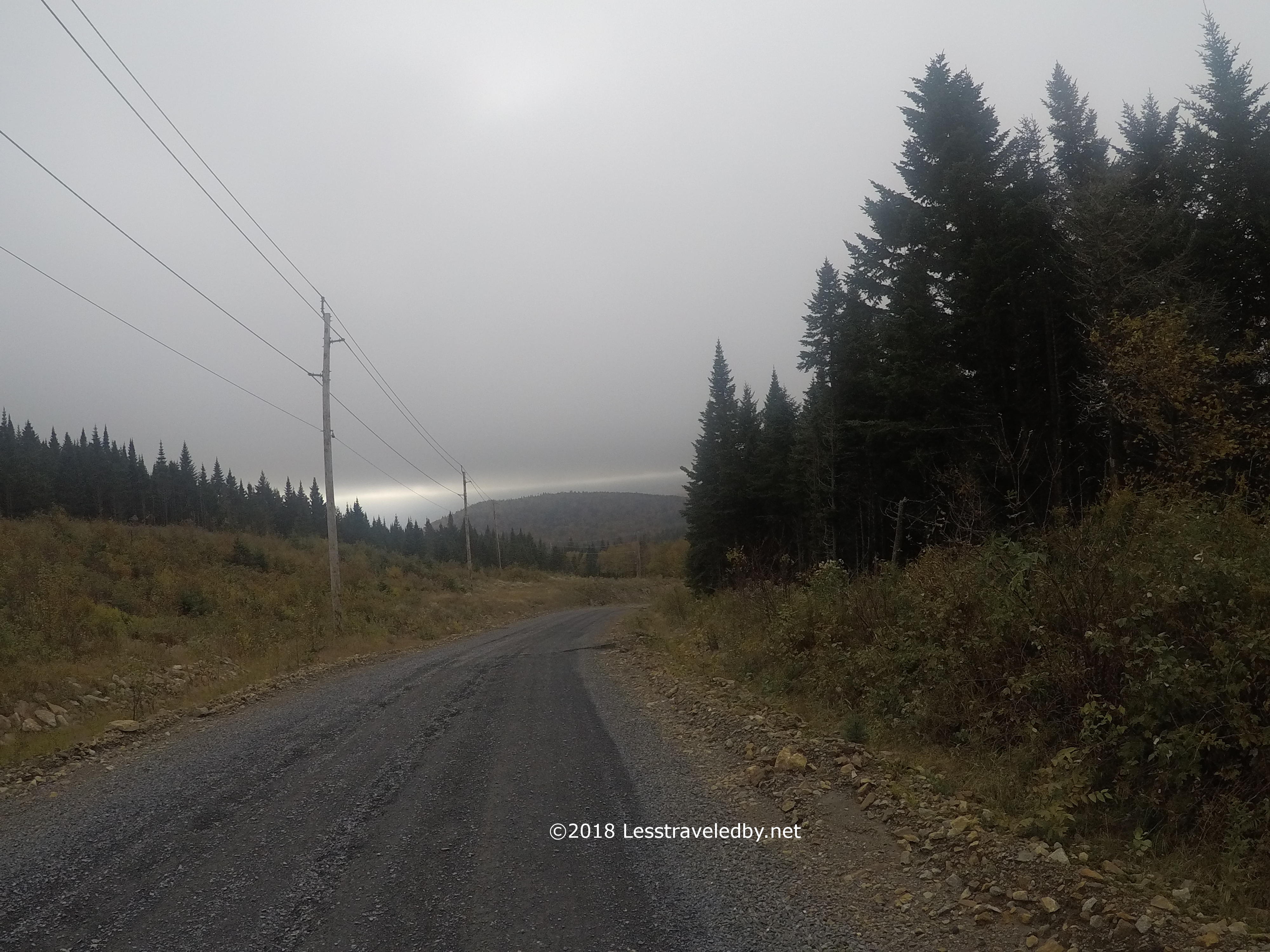
This is the last pic I took on this second day of the section. The cold and rain was enough to make me put on my raincoat, which is a rarity while hiking. After descending this road there was a short section of lesser road where I refilled my water bottles at the bridge before starting the climb. The Baldhead shelter is “dry” so I filtered an extra 3L bag as well. Then began a long, wet hike up a mountain that really tested my patience.
Sweating from the climb inside my raincoat kept me from freezing to death in the increasingly cold wetness. As much as I was tempted to take it off I had a feeling it was safer this way. That extra heat comes in handy when making camp and getting dry. That poor raincoat doesn’t smell very nice any more though 😦
There seemed to be quite a few more false summits than necessary before reaching the shelter location. Each time I saw sky above the next steep pitch my hopes went up and then so did the trail heh. I lost count of how many, six maybe? Then I reached the hut to once again find nothing but dense forest around. I considered trying to hang across the trail to the latrine, assuming no one else would be dumb enough to come up there that night. Then the rain started coming down seriously and I hid inside the shelter like a wet puppy heh.
I woke up around 11pm and my thermometer said it was 38°f. Doing some simple math told me that I was going to be a popsicle laying on those cold boards for another 7 hours. Thankfully I come prepared for just such emergencies and was able to quickly locate a hand warmer. Tucked into an interior abdominal pocket it kept my core temperature up until dawn. People talk about fire building being a life saver, but those pocket warmers are worth carrying year round.

Dawn showed hints of a sunny day to come. I knew it wouldn’t be warm, but at this point I was looking forward to warmer at least. It was 33°f as I got busy making a bag of hot chocolate gruel and a cup of coffee.
Then as the sun began to climb higher in the sky I saw something scary; The digital thermometer showed the temperature plummet 4 more degrees in a few minutes. Suddenly the grass in front of the shelter all frosted over and turned white. Not knowing how far it would go I was happy when it held at 29.1°f for a while before climbing back up towards 30 again.
The grass wasn’t the only thing that turned white during the sudden freeze over. My boots and wet clothes all went solid as well. I opted to swap out the clothes for dry, but only had the one pair of boots. On a cold morning you can tell how hardy a hiker is by how they deal with latrine seats and boots. This morning the boots were much worse than the seat.
Time to get stomping!
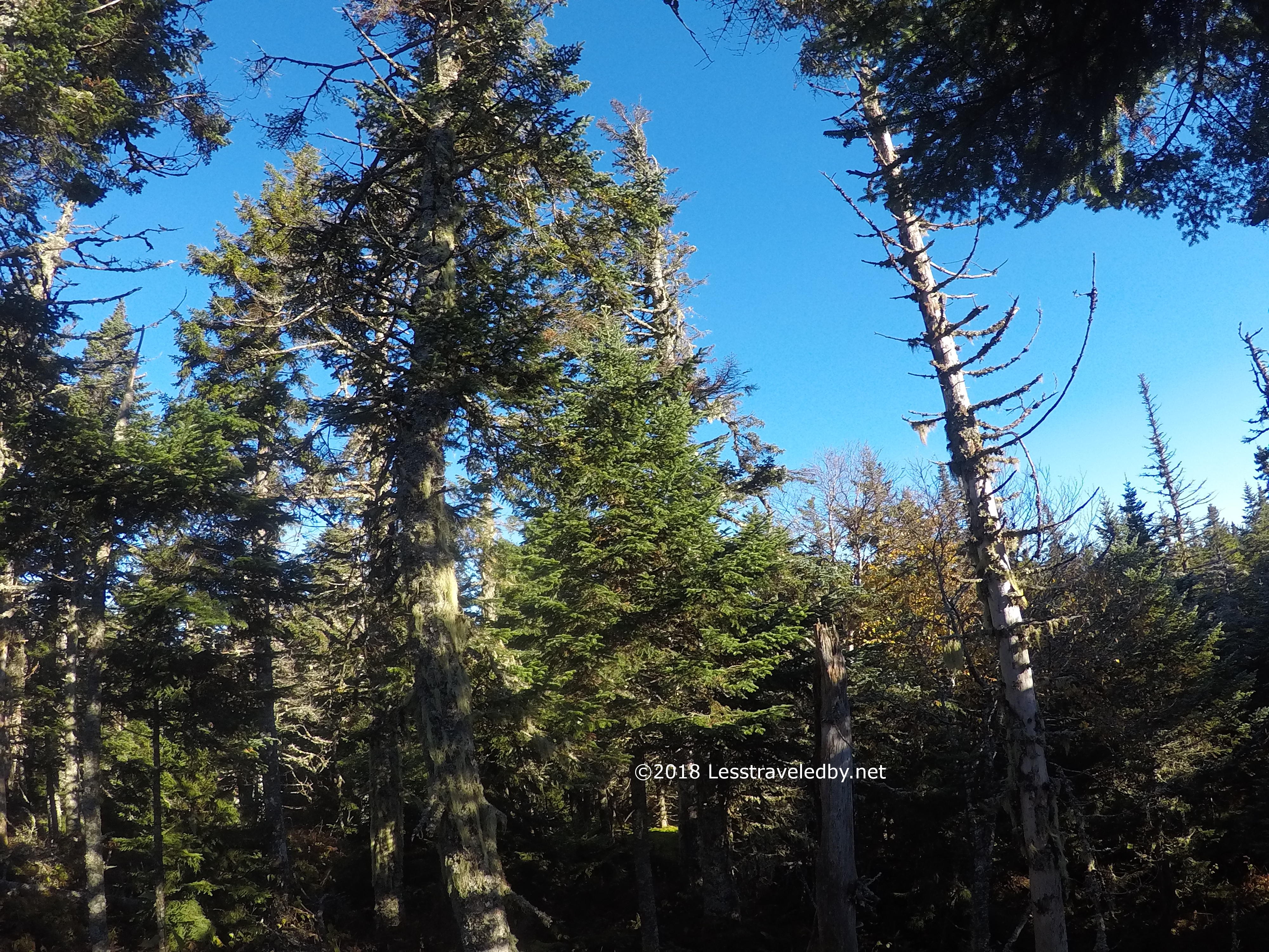
It was good to be moving to generate some heat, but I kept stopping to pull out my camera. Maybe it was the not freezing to death thing, but everywhere I looked was beautiful.
These trees were catching the morning sun and sending up clouds of steam as they warmed up. I spent a few minutes taking pics and video, but also just staring at it, soaking up the moment. It was still very cold, but life was very good on the Cohos that morning!


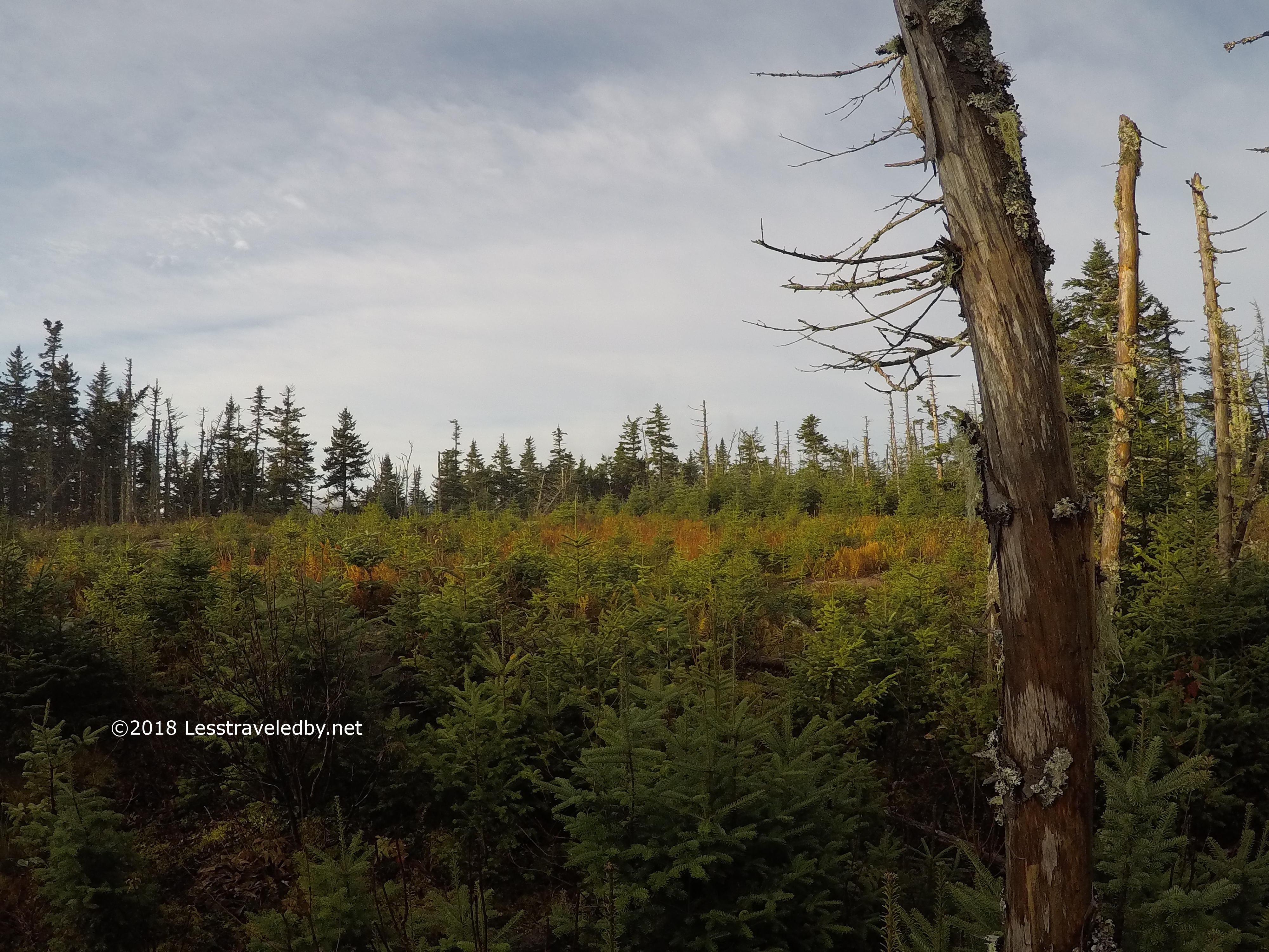
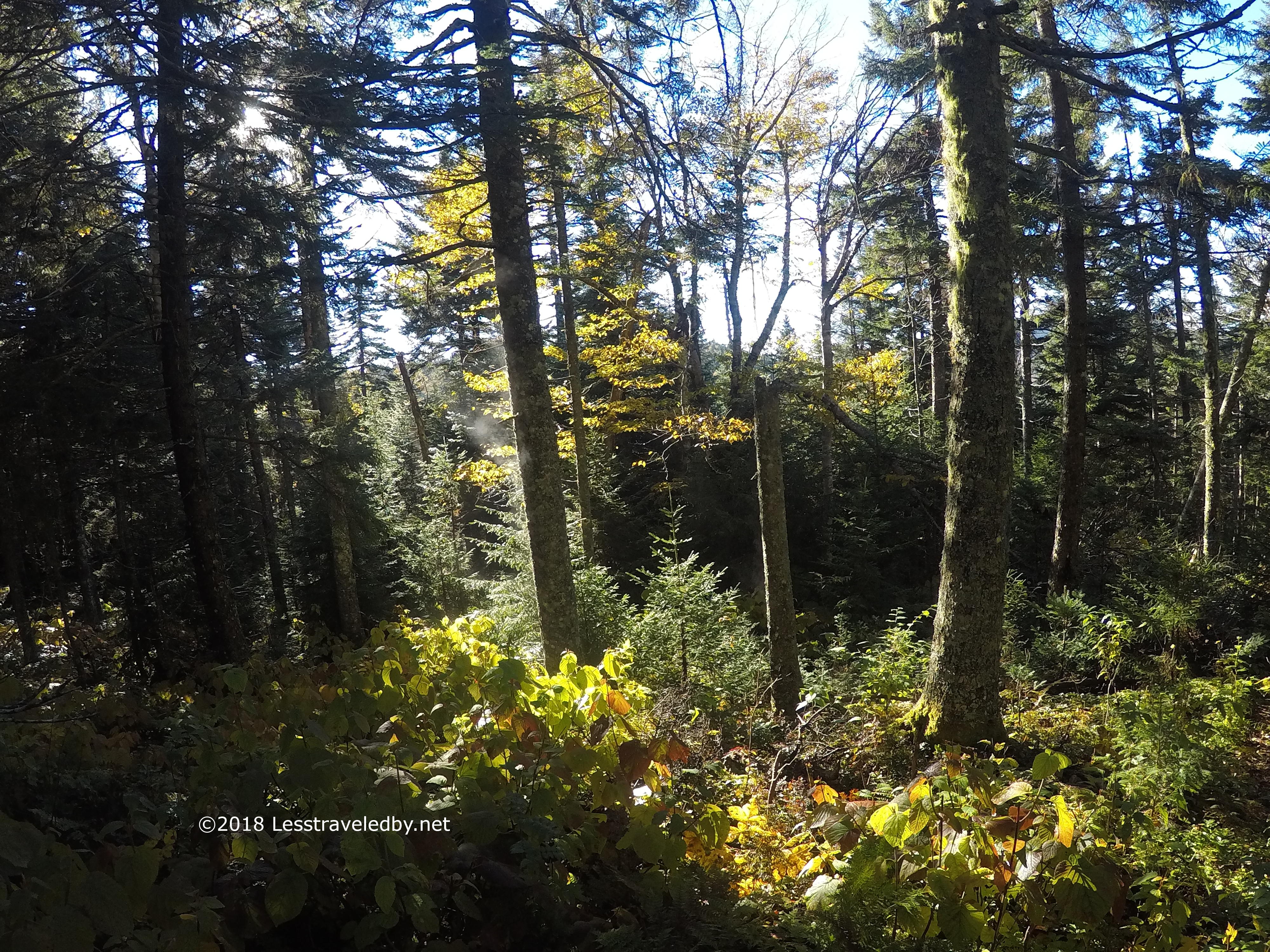
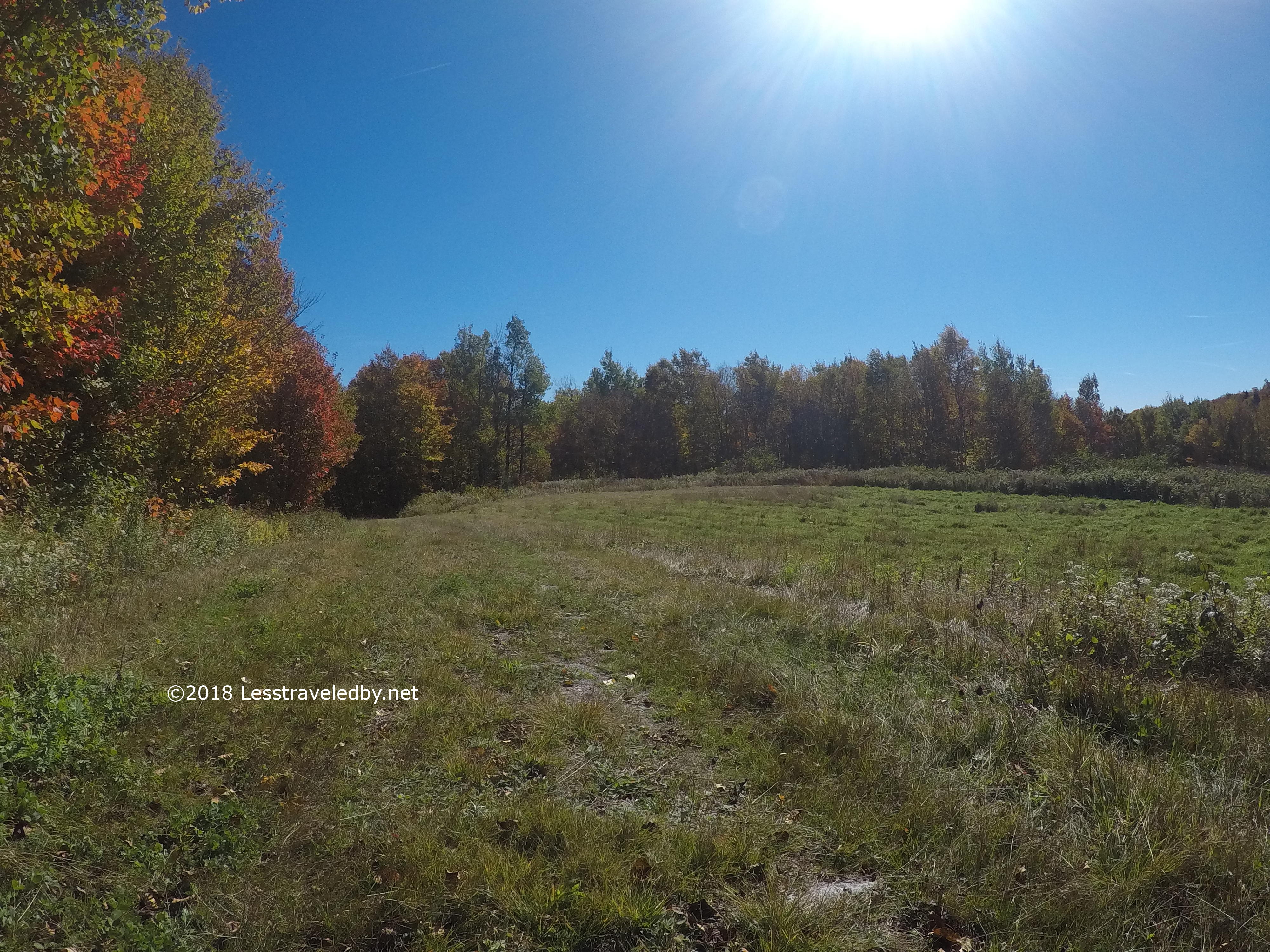
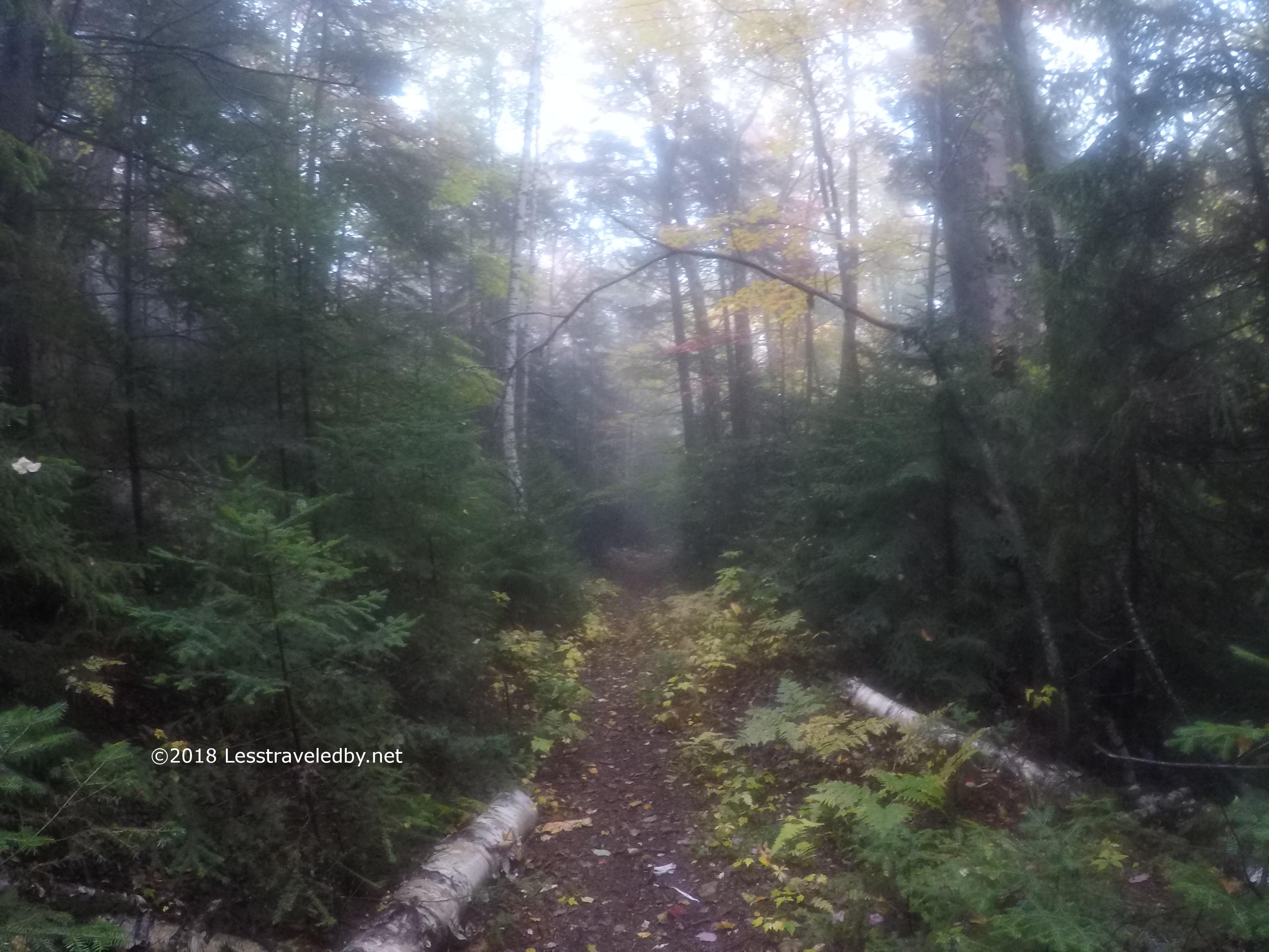
The Gadwah Notch Trail worked its way down towards Nash Stream gently. Eventually it began to follow an old woods road with meadows from time to time.

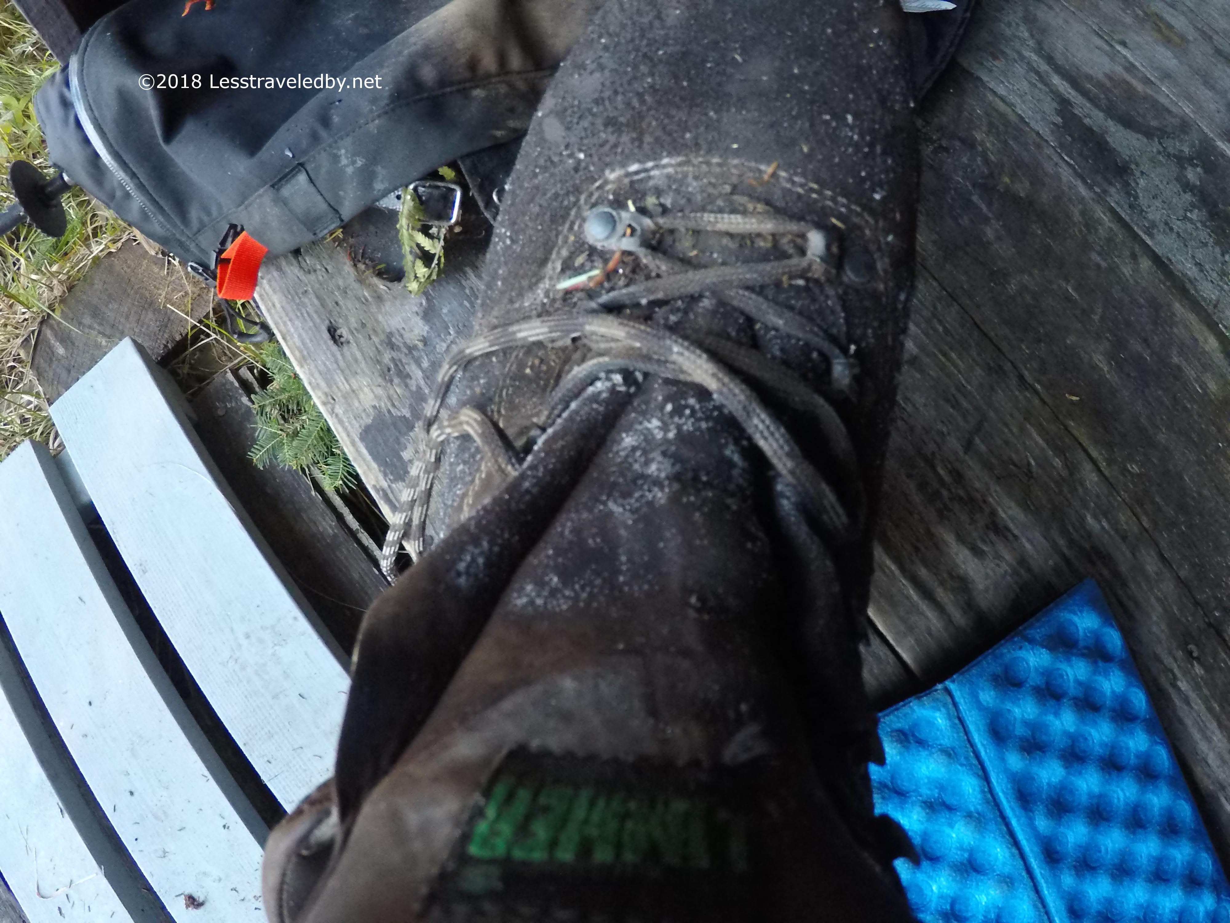
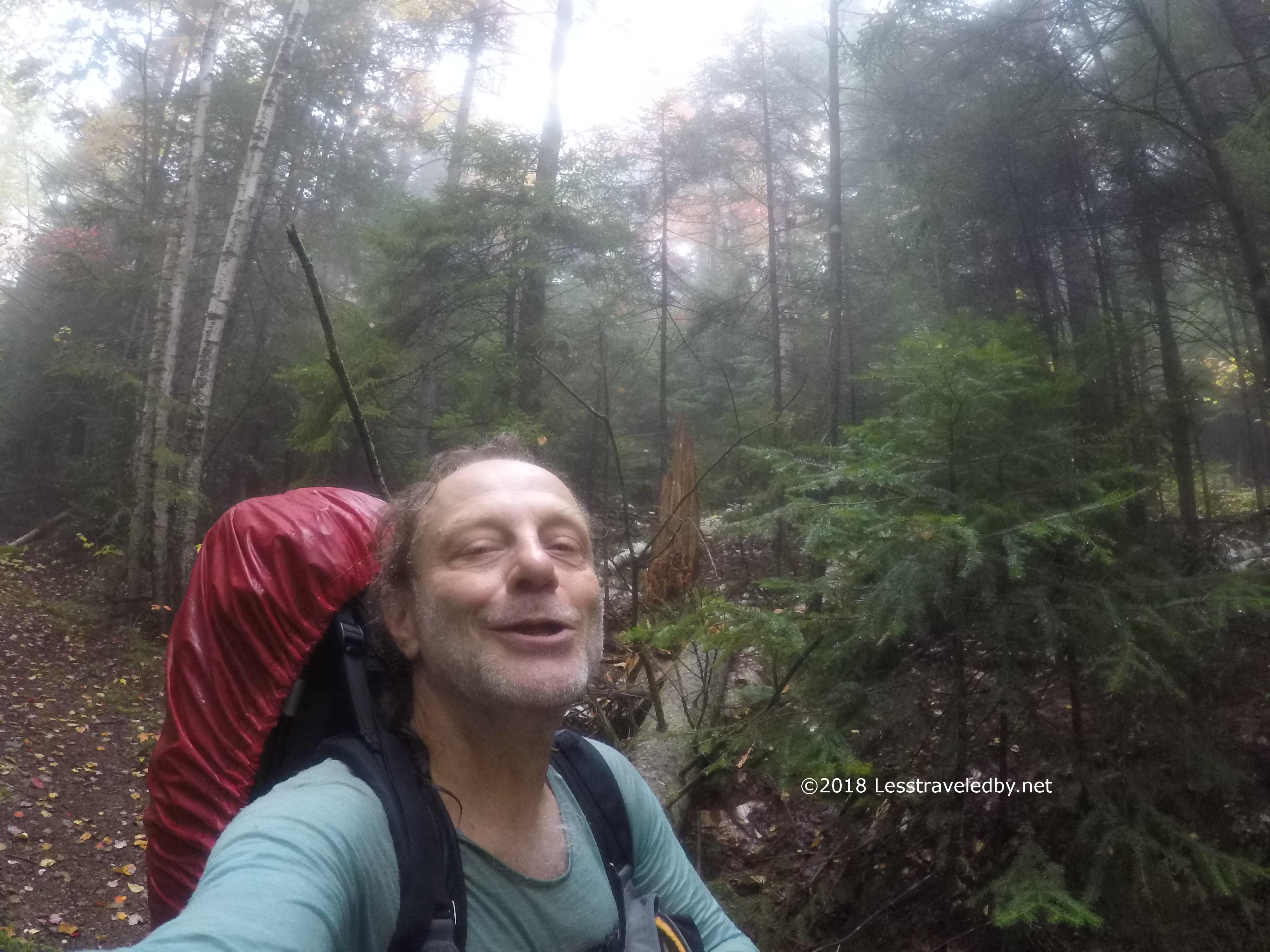
I came upon a tree with a yellow blaze that had fallen across the trail. Taking it as a sign and a nice place to sit, I opted for a serious lunch break since the clouds weren’t after me at this point. Please note the sock you see next to my food is actually my phone protector and not a used sock. My phone pairs with my inReach to let me pull up my location on a map. When I did a spot check to verify my location I was pleased to see that I was closer to the stream than expected.


That break was a great motivator and I hauled butt through the short walk along the road just after the headwaters of Nash Stream. I saw a person outside of a camp and we waved from a distance. 48 hours and that was my first contact heh.
The rolling section bypassing the Nash Bog flew by and even the hike up the Sugarloaf Arm was soon finished. Finally a camp with some open forest! First I hung up all of my clothes. Then I thankfully got my hammock up so I knew I’d be sleeping in comfort.
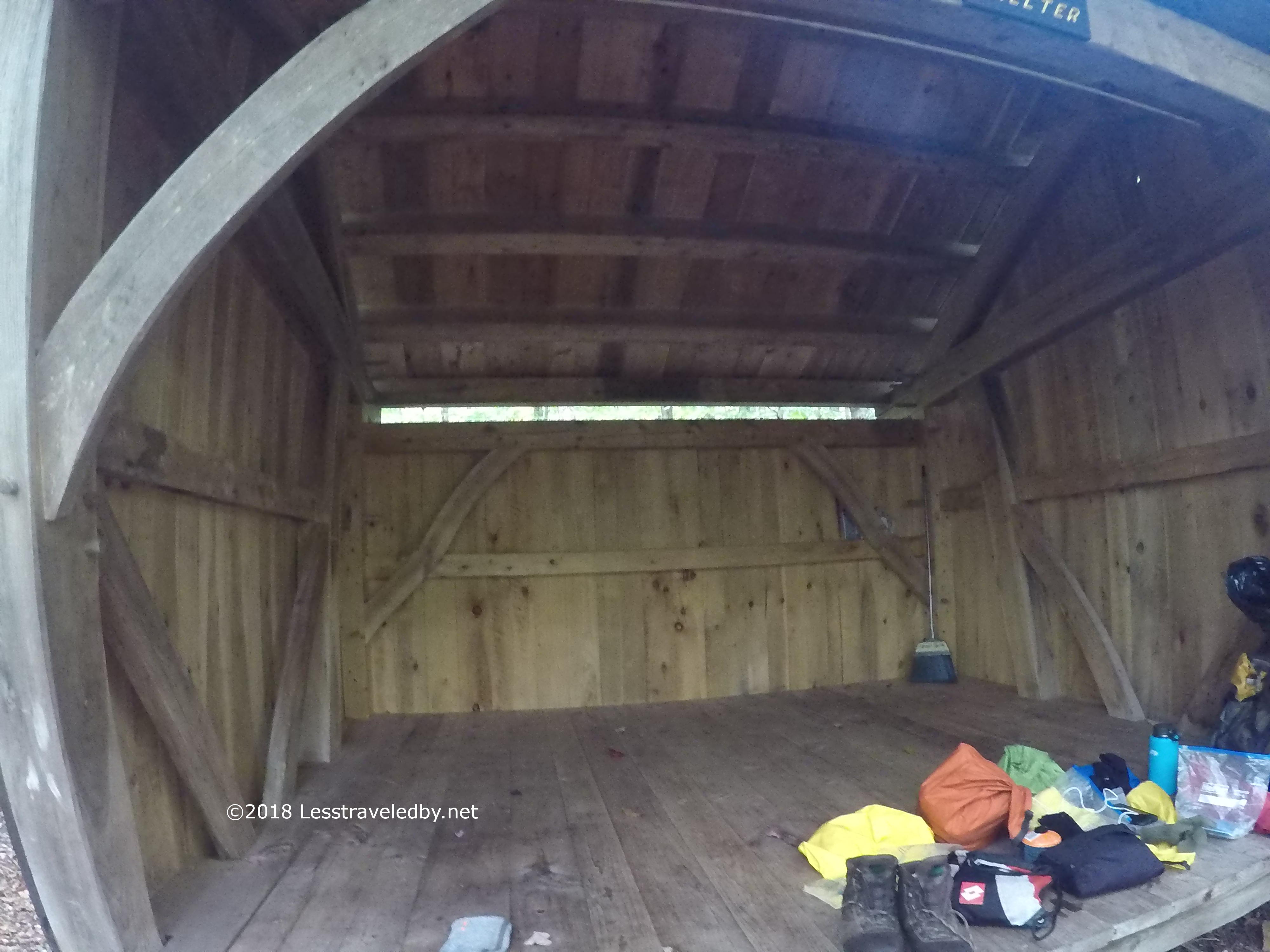
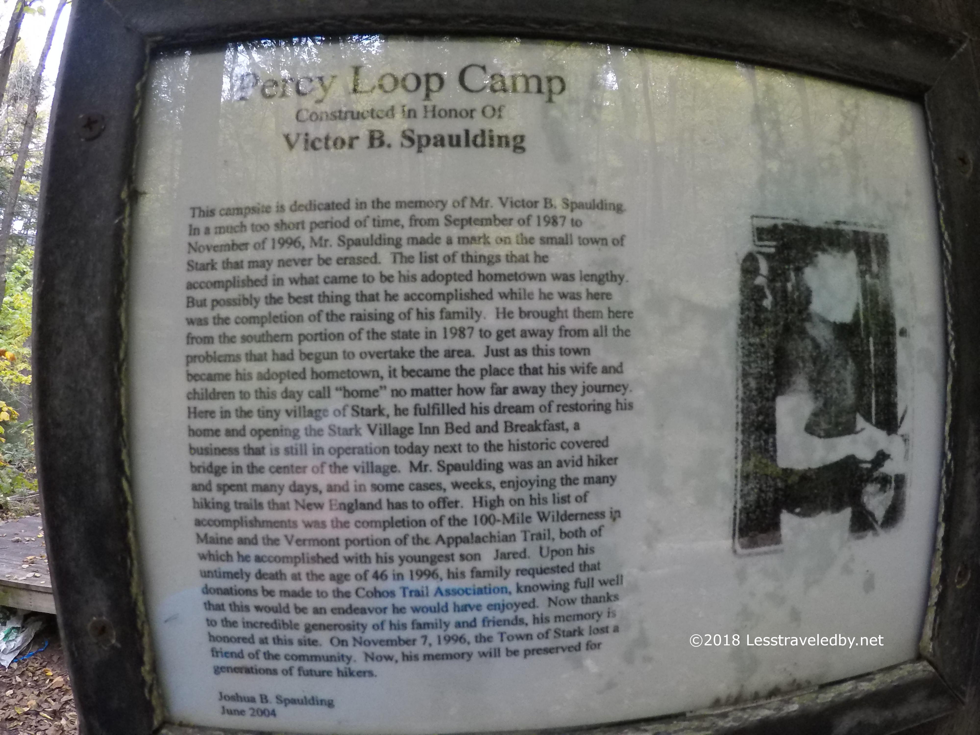
The Old Hermit Shelter is amazing! It has been there since ’12 if I recall and it looks brand new. No ugly graffiti, but also no stains on the floor. It has an unusual design, to me at least. That opening at the rear gives it really good ventilation I’d guess. The whole thing was held together with big wooden pins rather than metal hardware. Beautiful craftsmanship!
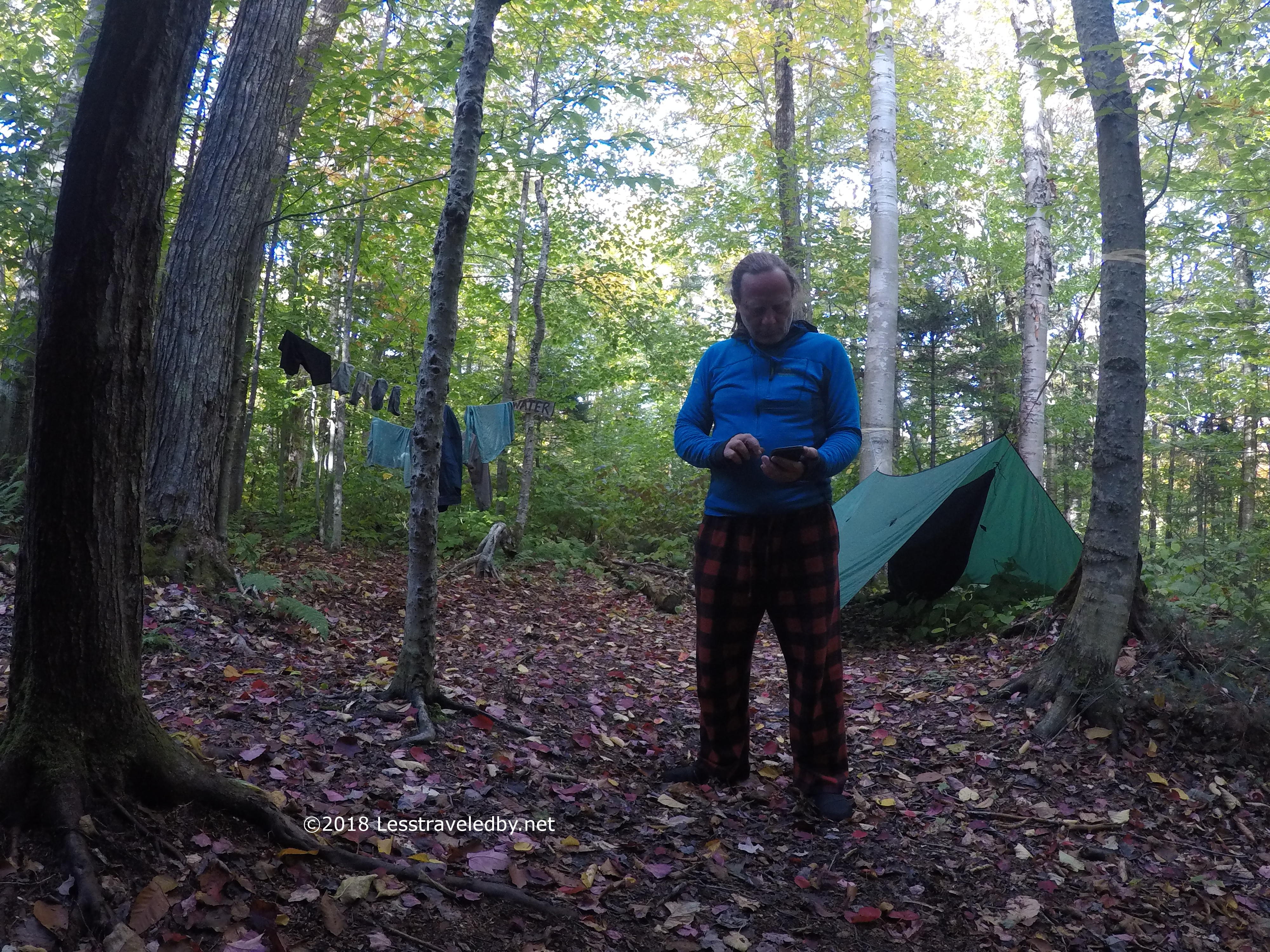
Being able to spend a few hours in camp was a great way to end a really great day on the trail. My clothes weren’t really going to dry, but I was out of the wet stuff and enjoying my camp clothes.

I loved the way the pegs that hold the shelter together were left long and sticking out. There are many places to hang things under that roof and some of the stuff I left in there over night actually did dry a bit.
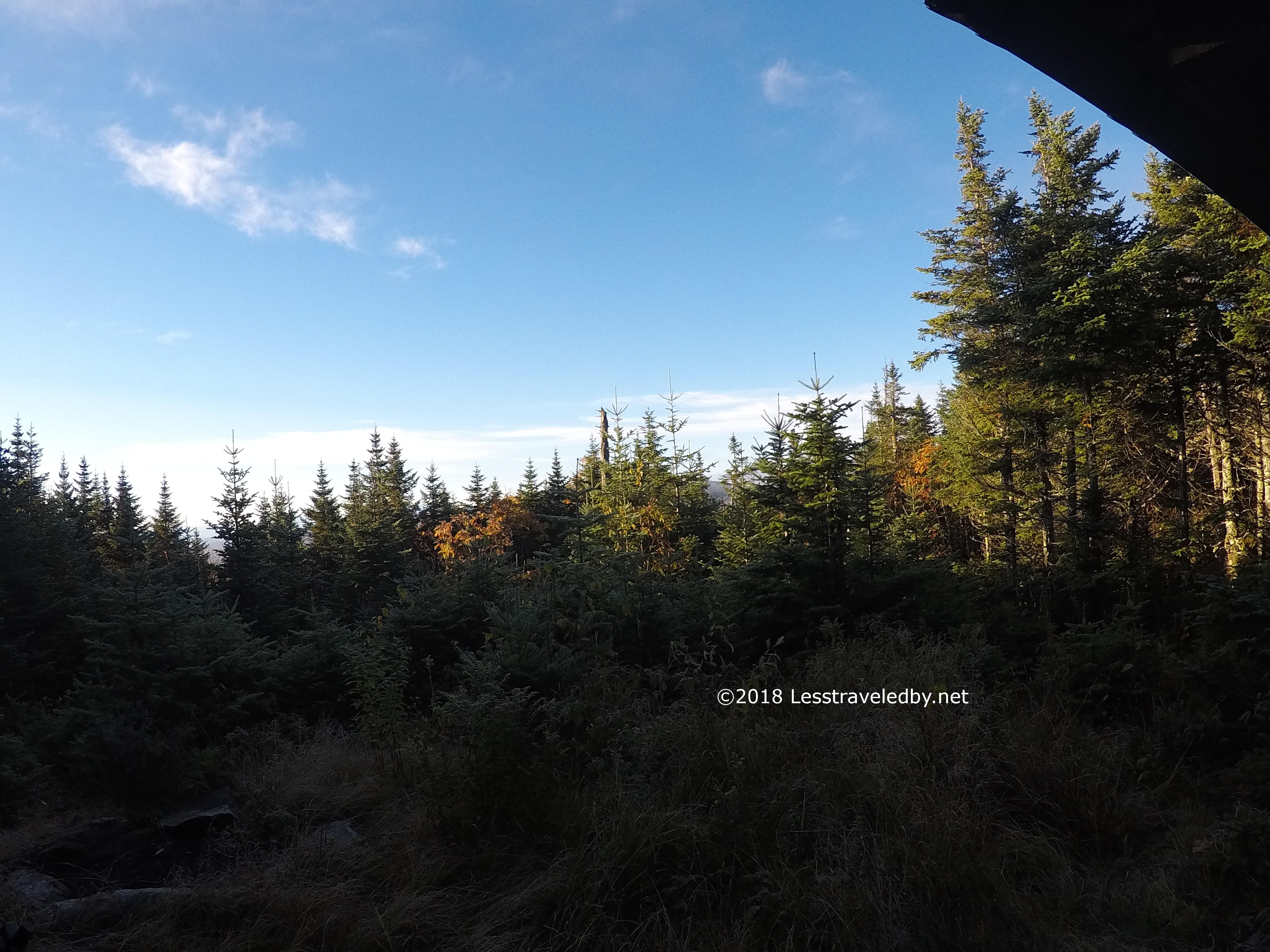
Day four started with some great sunshine. Again I had to resist the urge to keep pulling out the camera. The weather wasn’t expected to last and I had plans for the day despite only needing to get to the Percy tent site.

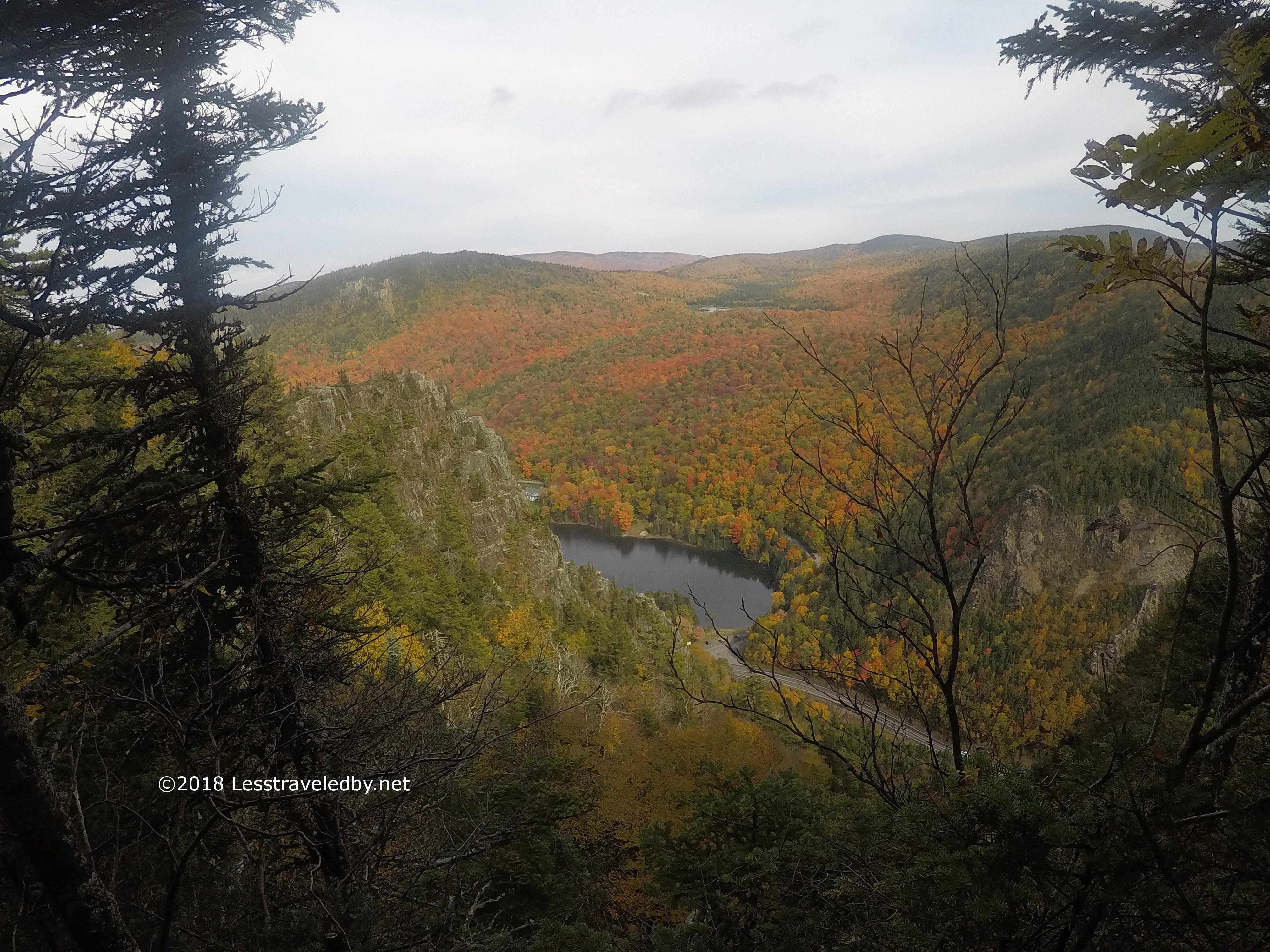
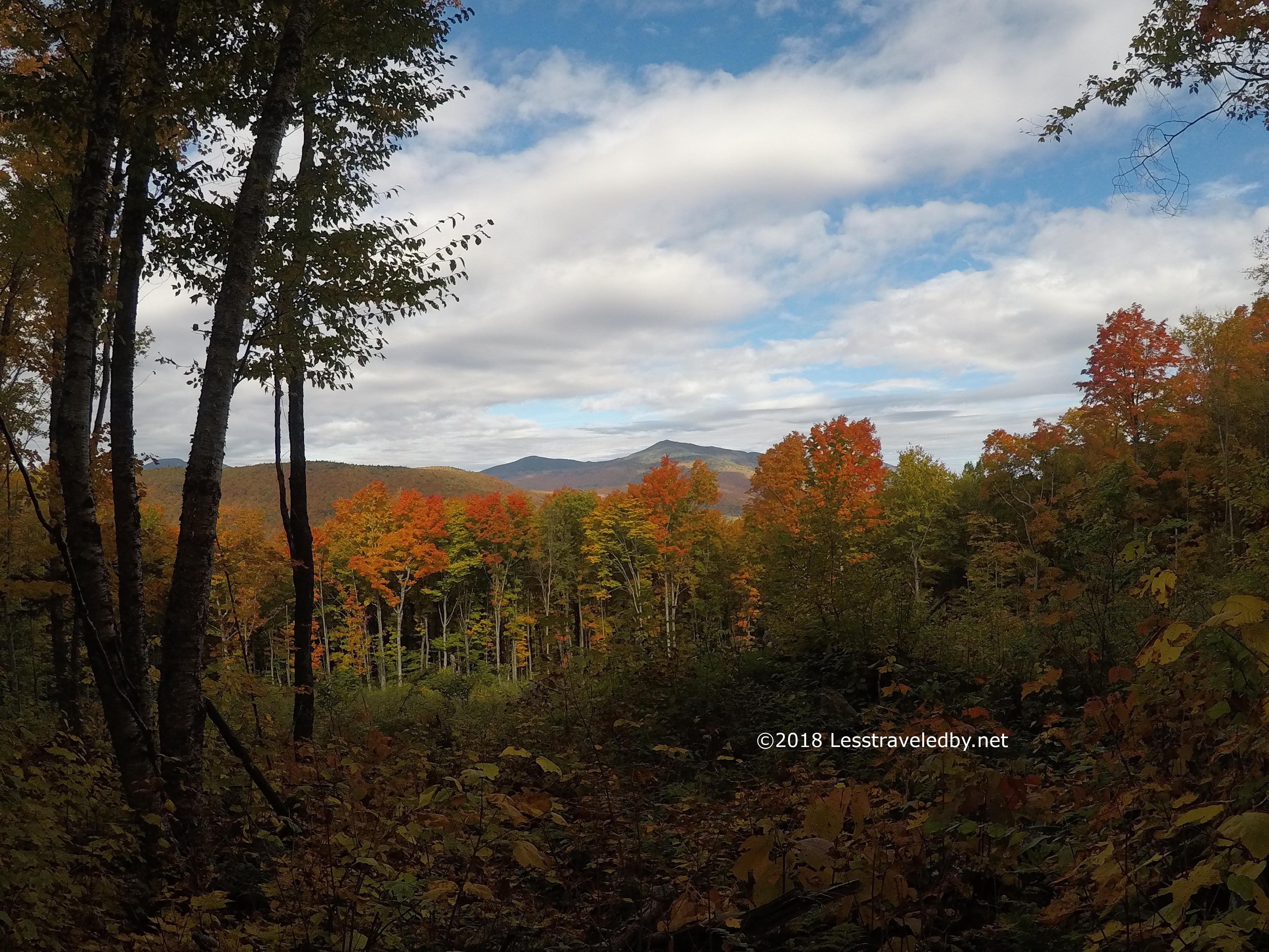
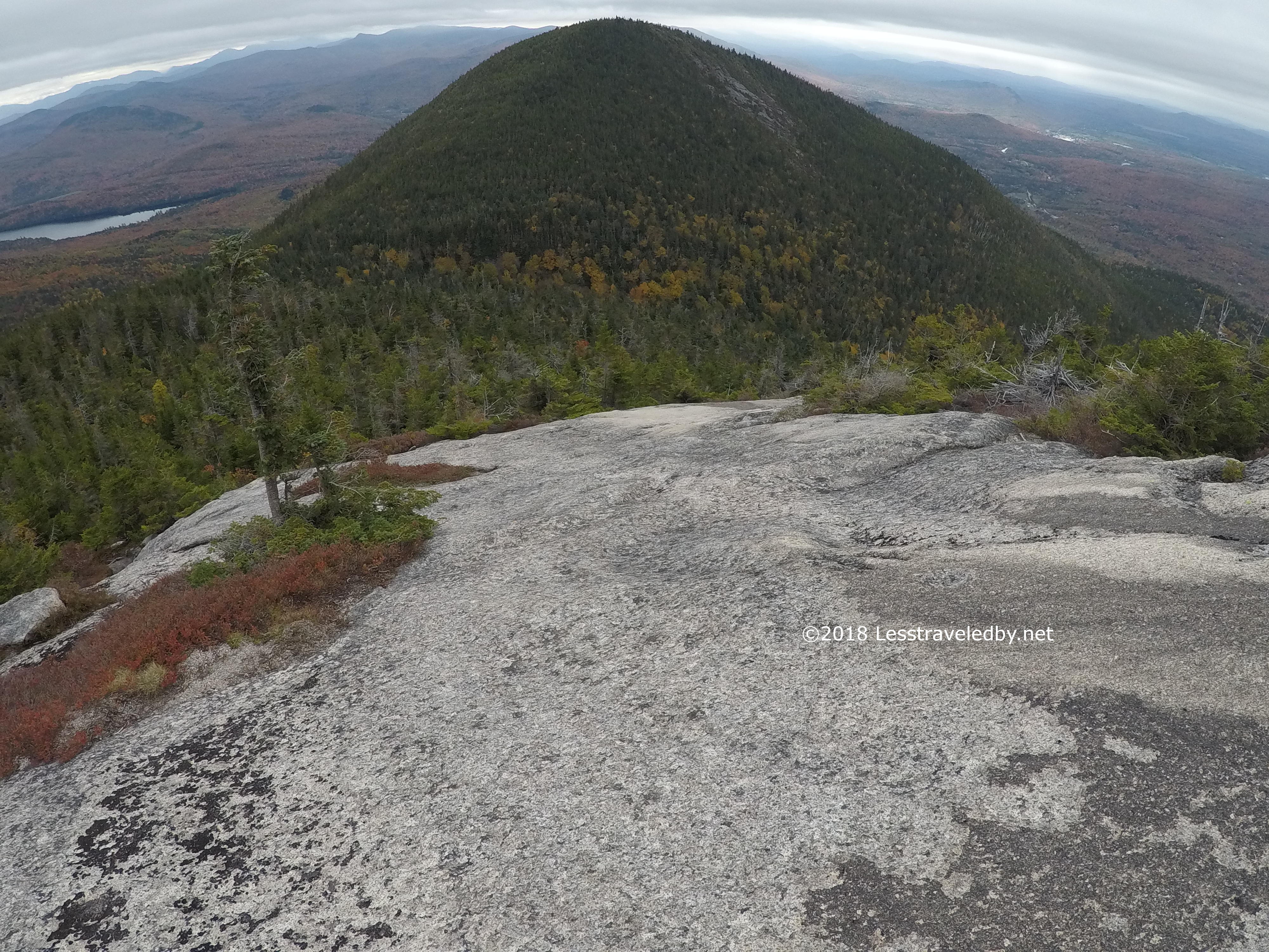
There was my plan! Lunch on top of North Percy was my goal, though I giggled a bit when I first spotted it from this vantage point. I put my chances at a solid maybe as I recall.
Nash Stream from the snowmobile bridge was looking pretty, but I could see the clouds gathering. Really appreciated the bridge as the stream was wide and I’m guessing cold heh.

As I stopped to take these pics of the falls along Pond Brook a man passed by on the trail above. We waved, but again from a distance.
Then I came upon the high water warning sign and began to wonder if this was high water. I wandered back down to the road and met the man I’d seen earlier, so about 70 hours in I had my first conversation. He said not to worry about the water crossing and I headed back up.
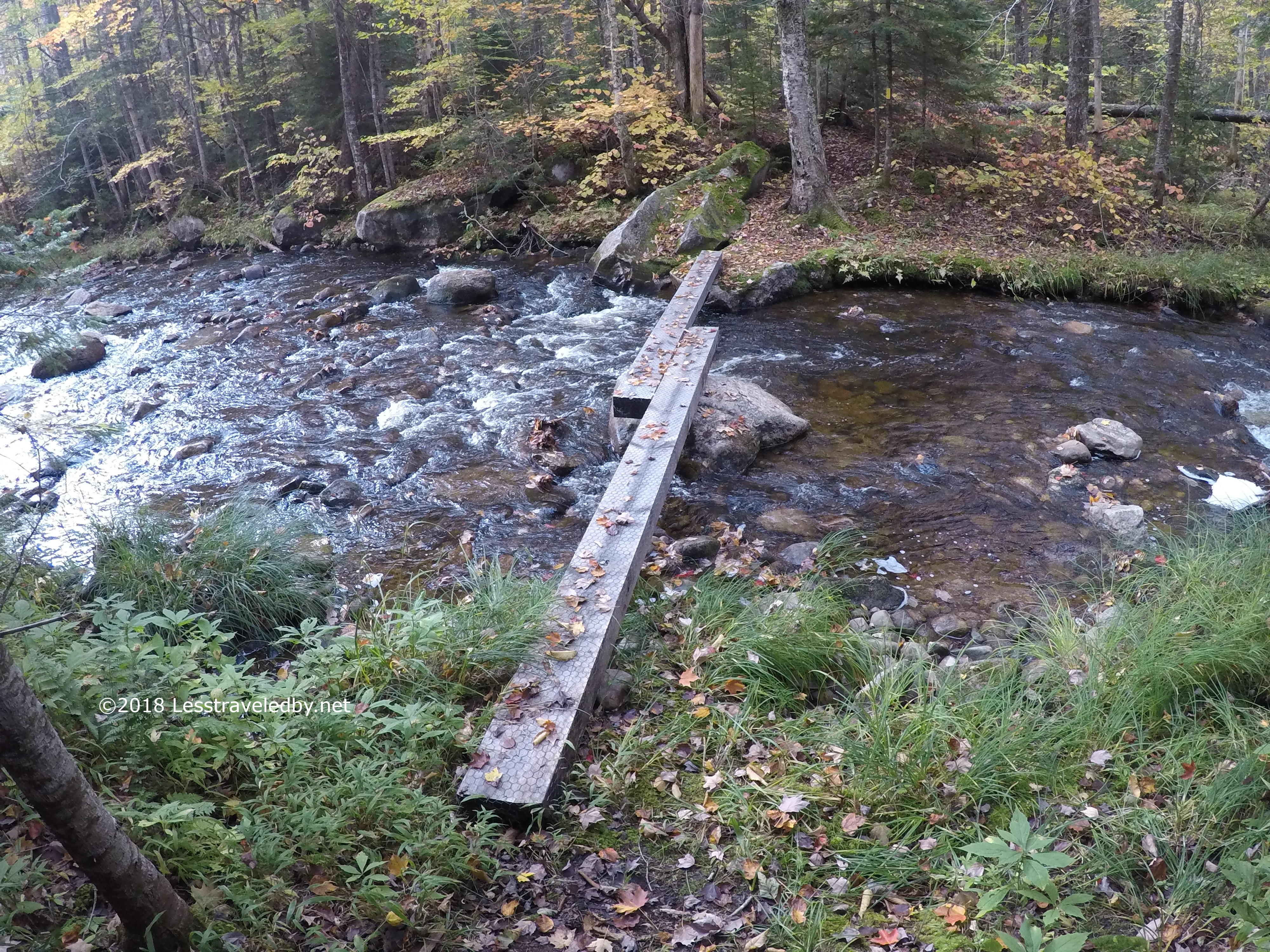
I laughed when I got to the dangerous crossing. No one had mentioned a bridge. It was a bit wobbly on one side though, so a bit scary. 🙂

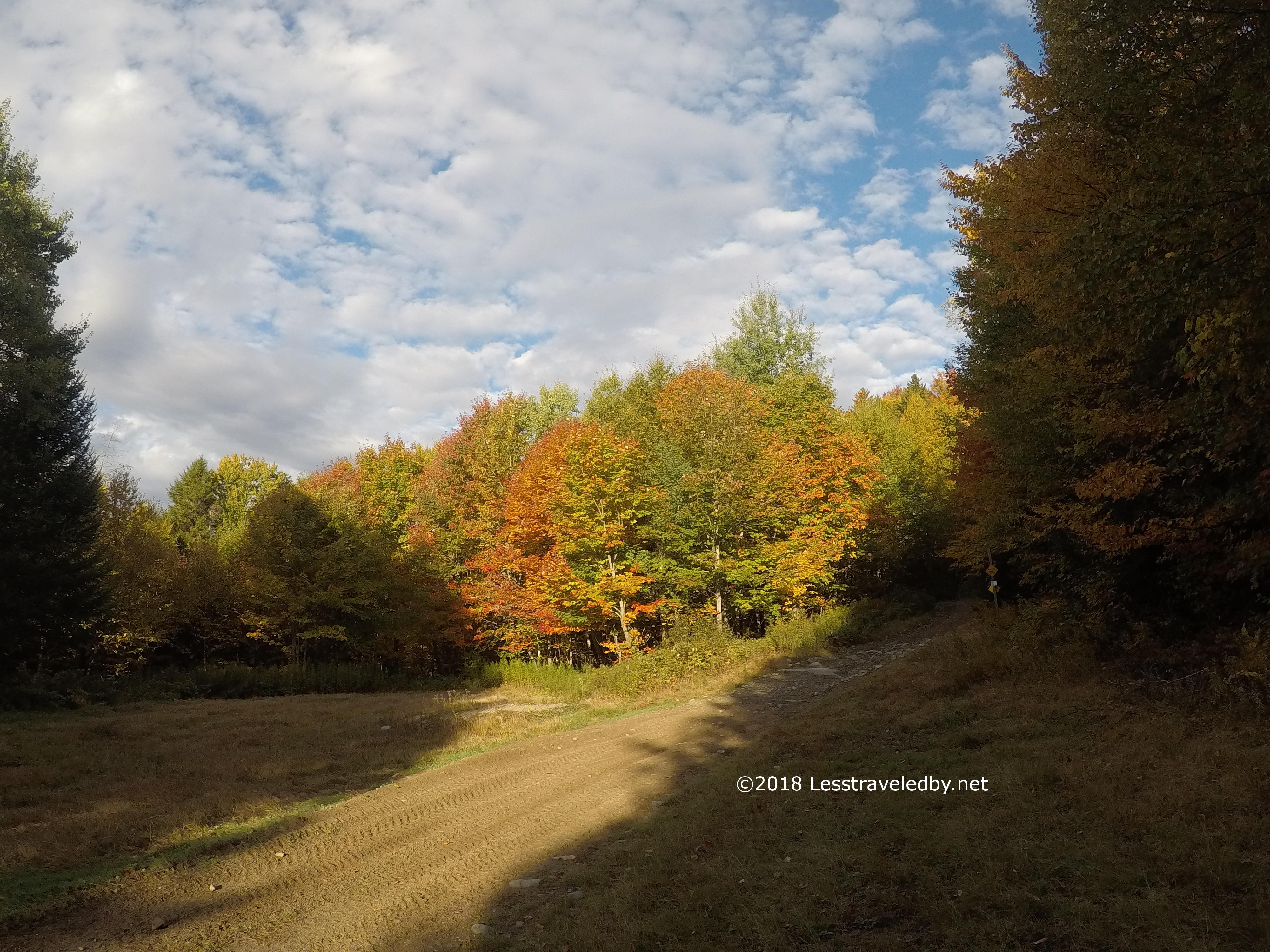
Then it was up the Trio Trail towards Percy. This climb was so gentle and even had a few views along the way. By the end I was sort of tired of winding around and ready to just climb straight up, but taking the longer, easier way was nice for a change.

The rolling hills thing was a great way to work the way up towards the ridge. Some parts were steeper than others, but all just a nice forest walk.

Can you spot the skinny moose in this picture? It won’t be easy because he kept his tail to me as he looked over his shoulder.
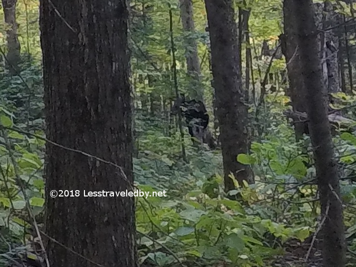
I did what I could in post production to give you a better view. There just isn’t much moose there to work with.

I stopped at the Percy tent site and quickly set up camp. Then with only my food bag and rain gear in my pack I headed up towards North Percy. I grabbed this pic on the way up the slabs near the top because I wasn’t sure how long the weather would hold off.
Almost there! I could hear voices ahead and sure enough there were some day hikers at the summit. It was interesting but strange to see people in such numbers. There were at least five or six heh. It seemed very crowded after being alone for days.


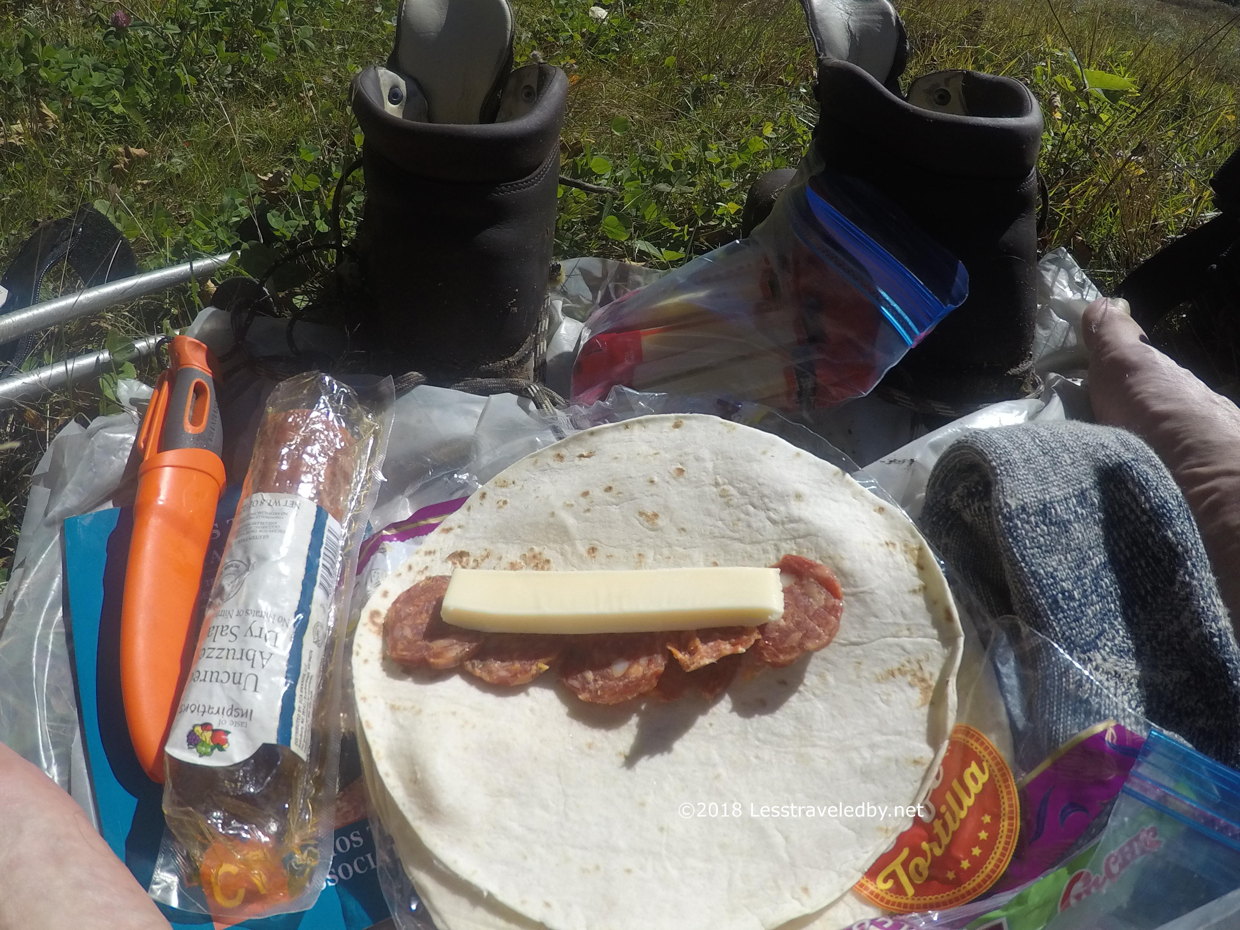
Soon they had to head down and I had the place to myself for a bit. Pictures were taken, cheese and sausage were eaten. It was nice!
On the way back down I was struck by just how steep that slab was. Going up was much faster as I had to carefully make my way down. Glad I didn’t have a full pack on for that!

I was sitting on the tent platform pondering an early dinner ahead of the rain when I heard the first drops hit. I started sprinting back and forth, ferrying everything from platform to tarp. After hanging out for a bit it was clear the rain wasn’t going anywhere so I arranged things to allow me to make dinner. Of course being Day Four my friend the Hunger showed up. Much chocolate was eaten and I think some Doritos too if I recall heh.
It rained all night. In the morning it was still raining. I decided to go with my secret weapon, no cook breakfast. It is a special mix of chocolate, nuts and espresso beans. Too much sugar to use on a regular basis, but super fat content to go with the caffeine. Great for a hard, fast burn without stopping to make coffee or anything in the morning. Perfect for hiking out on the last day of a trip!
The hike out was going to be wet even though the rain stopped as I was breaking camp. I opted to save my better pants for the shuttle ride so put on what can only be described as my worse pants that morning. It really didn’t matter much at that point.
With some rain on four of the five days I wasn’t pretty and I didn’t smell good, but I was laughing my way down the mountain.
The early parts of the descent were a bit ugly. Some very large boulder drops that could use some steps or at least a smaller boulder to break up the distance. Those giant steps down are murder on old joints. Looking at them from below I’m not sure how I’d get up them going the other way.
The lower sections rolled along quickly and I soon passed the turn off for the Devils Rest shelter. My map shows another connection from the other side, but if it exists I walked past without noticing.
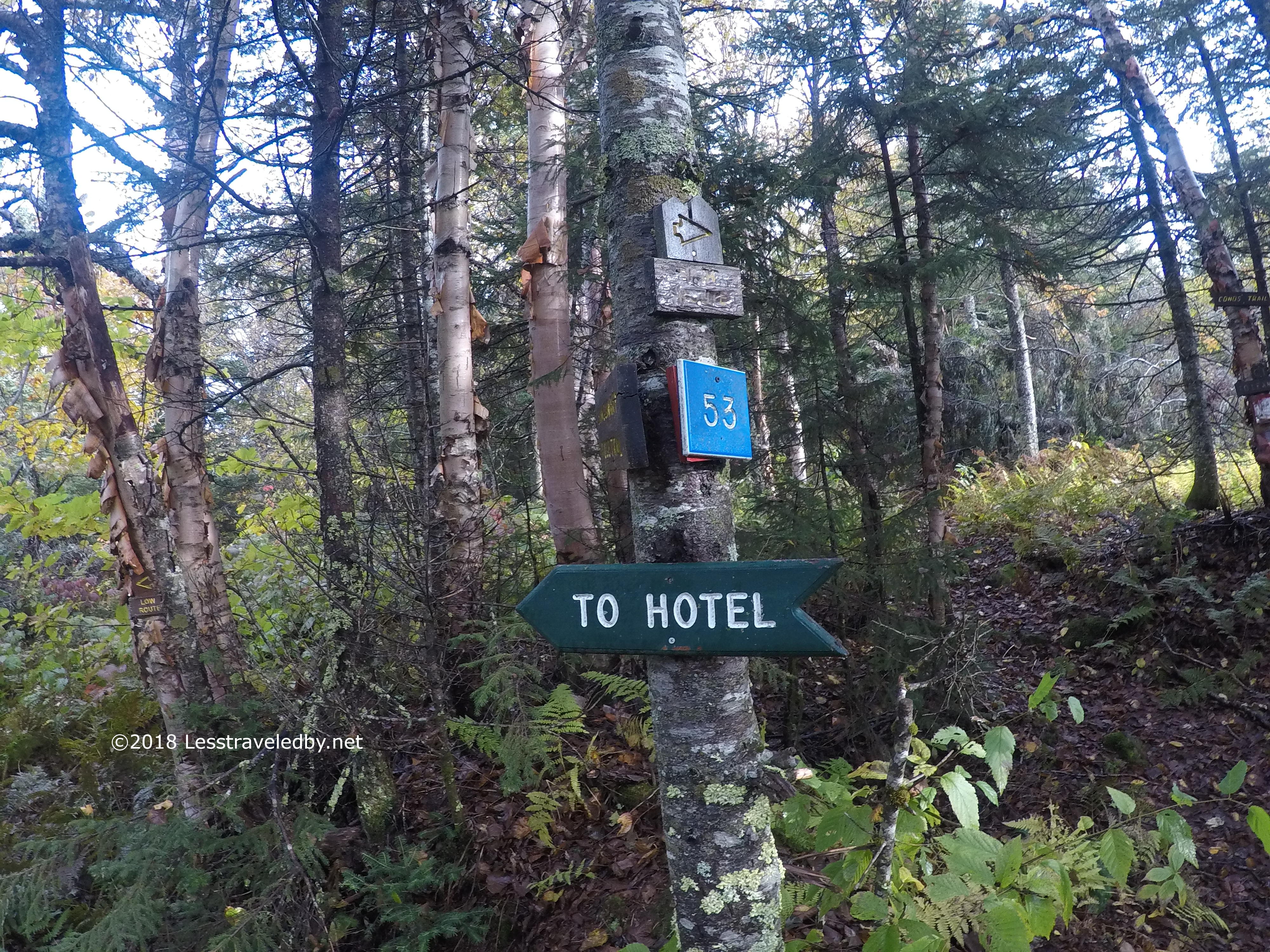
Eventually the trail rose up and joined the Bald Mountain Notch Trail to descend towards Percy Road and Stark. It was on this section that I ran into the famous Bonnie of the CT and her owner as they were headed up. I was not only recognized by name, but she placed a call to Nancy at the Stark Village Inn to come pick me up for my ride back to Coleman. You just don’t get service like this on most trails 😉

I really can’t say enough about how nice the Cohos Trail is for someone like me who enjoys a remote, wilderness feel to their hike. Camping alone and seeing no humans for days on this section is definitely my sort of hike. With so little traffic the footpath is not always well defined, especially now with leaves falling. The blazing is sporadic at times, but generally always there when you need it. I’m sure that on weekends and especially during the summer months there are more people out there so I can’t promise you solitude. Still, this is definitely a path less traveled, so if you’re heading out pack your self reliance…and your sleep pad!
With the leaves falling I am going to leave the southern half of the CT for another time. Not sure I’d want to try to follow the footpath with a heavy leaf carpet. I have a few weeks of duty at home anyway. Then we’ll see what the weather looks like I guess before deciding what is next. The legs were feeling pretty perky out there for an old fat guy 😉

Pingback: Two More Nights on West Baldpate – March 2019 – Less traveled by