
“…bear west around the forbidding south wall of the summit cone, climb the exposed west face and arrive at the summit…” -GMC Long Trail Guide
Since acquiring the Long Trail map and guide books from the Green Mountain Club I’ve been taking a relaxed tour of the the trail by reading through the descriptions with the map by my side. Rather than race though the book as fast as possible I’ve limited myself to small sections of reading at a time. Sort of like how one hikes a long trail, day by day rather than all in one go.
The level of detail in the guide is amazing with small terrain features described in terms that must be Vermontish because they seem unfamiliar to me though they seem clear in context. Despite taking the time to mention tiny details there are other areas that seem to have nothing worth mentioning based on what made it to the page. I’m hopeful the details will get me through the parts of the trail that are hard to follow and the sections that don’t warrant detailed mention are the parts where the trail is clear. Always good to have hope on an adventure like this but a good waterproof map, a compass and the knowledge to use them are a good idea too.
Having studied the trail a bit over the last few years seeing it from this new perspective is interesting. I’ve read as many trail journals as I could find and have looked at various maps. Online topo maps can give a detailed view of a very small area but only so far as elevation lines can tell a story. Trip reports give personal accounts of parts of the trail that were special to that person. The guide seems to combine technical and human perspectives by giving terrain descriptions in human terms rather than just lines. I have a feeling these descriptions will be key to staying on trail at times especially in the wilderness areas where it is less cleared and marked.
From trip reports certain pointy bits of the trail stick out as especially challenging. In the context of an entire trail journal you can tell when a writer is talking about the times that thrilled or scared them a bit more than usual. How we face those challenges is often what drives us to climb these mountains. So when the guide book comes to these spots it seems oddly understated. It uses human terms to describe the trail, but without the human emotion one expects after reading trip reports.
The quote at the top of this post is one of those that caught my eye. The words are so simple and direct, “…bear west…climb…and arrive at the summit”. My eyes traveled over those words in the book and then my mind said “Wait! That sounds like it might be easier read than done.” It made me think about how many other parts of the trail the book might be describing in simpler terms than reality might bear out.
We can research and plan, but what really matters is what happens when we get there. A guide book is certainly valuable, but it is only a tool for us to use. More information helps us make wise choices, but a book printed three years ago can’t decide if the trail ahead is safe today.
I still have about a hundred miles of trail to read through in the guide. Following the trail northbound some of the roughest terrain remains. Of course by this time my pack will be twenty pounds or more lighter so I’m not too afraid of those remaining peaks. I will of course be careful not to let the guide lull me into a sense of security with its minimalist descriptions. I’ve seen enough pictures and videos to know that no matter what the book says this part of the trail has some treachery to it. I guess I’ll just have to go slow and keep my wits about me in hopes of not falling off the path less traveled by
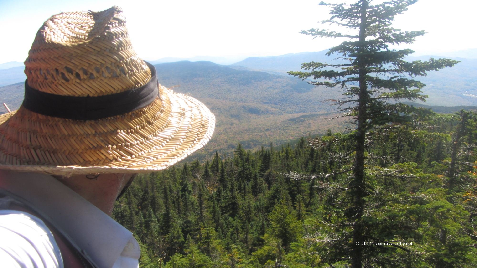 Not Vermont
