
59 pics and some random babbling from a three night June trip that started along Franconia Ridge and returned along Franconia Brook.
What most folks think of as the Pemi Loop – Franconia Ridge on one side and the Bonds on the other in whichever direction you favor – is really more of a “semi” Pemi loop since you cut down the middle of the Pemigewasset Wilderness rather than taking in the eastern side. This trip started out with that in mind, but rain on day three made me opt to get off of the ridge after leaving Garfield, so this ended up being more like half of the half.
 The trip certainly didn’t start out rainy. It was warm sunshine when I left the Lincoln Woods lot around lunchtime. The East Branch was flowing well, but not terribly high.
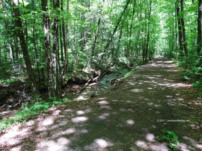 The first mile or so was along the converted rail bed that makes the Lincoln Woods Trail so popular with families and older folks who may not climb mountains but enjoy a walk in the woods.
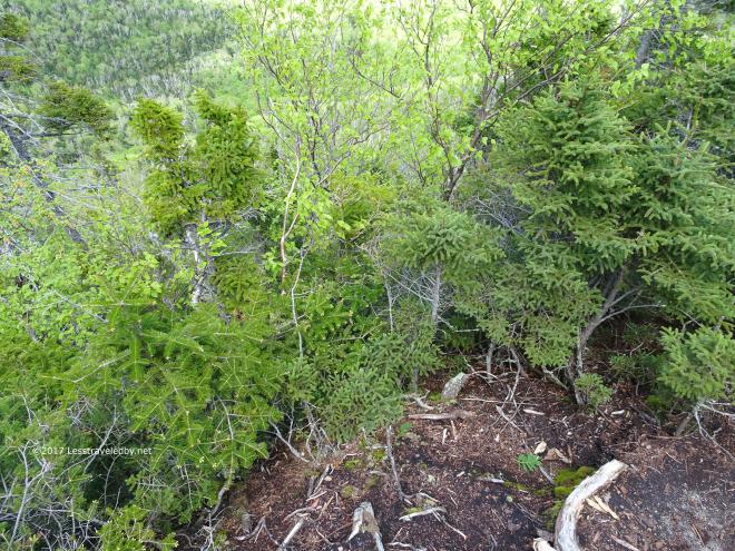 Overgrowth now blocks most of the view at the “downlook” so looking down isn’t what it once was. The perspective from this little outcropping perched over the Lincoln Brook far below can be a bit dizzying when you focus on the bottom of the valley far below.
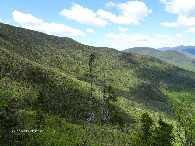 Looking out at the sea of green was no problem though. Early Summer leaves were mixed in with the darker green of the pines as far as the eye could see.
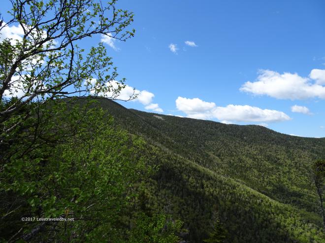
 Some nice white clouds in the deep blue sky made beautiful patterns if you looked up or if you looked at the shadows they threw down below.
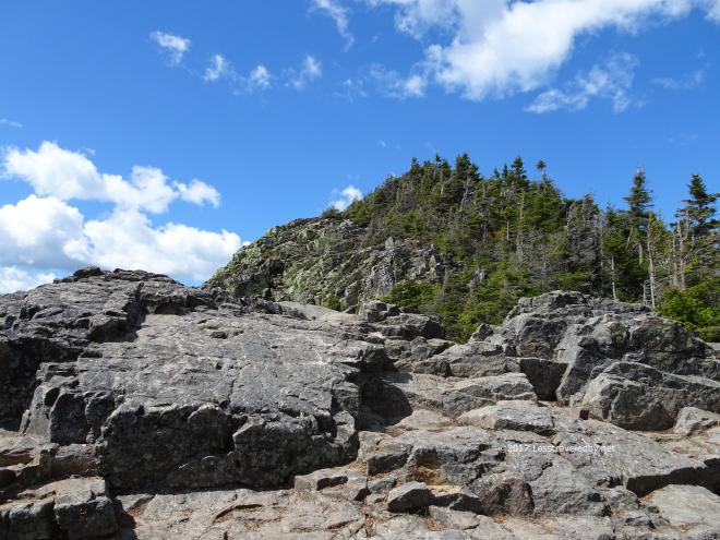 Breaking out of the green tunnel of the trees for the final climb to the top of Mt Flume is always a treat. All of the hard work getting to this spot suddenly seems worth it when the sky opens up and you feel the breeze.
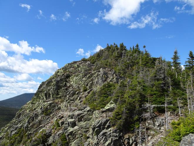 Of course you still have to climb up there, but climbing always seems easier when you are in the open and can see the top of the mountain in front of you. Well most of the time at least!
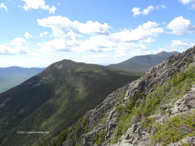 Of course the higher you climb on Flume the more you can see Mt Liberty which is the next climb and the col between which means you’ll have to give up some altitude before you can start climbing again.
 Plenty of time to worry about that later. Looking back the other way seemed less ominous and darn pretty as well.
 It may have been mid June, but there was some snow left hiding in the depths of that col. Despite the warm day out in the sun at the summit, it was nice and cool down in the dark of the forest.
 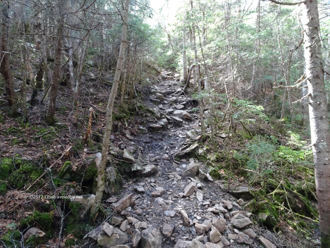 Then it was time to start climbing again so there was no need to worry about hypothermia. The final push up to Mt Liberty’s summit has some loose rock sections like this as well as a few big slabs that require some effort to get on top of.
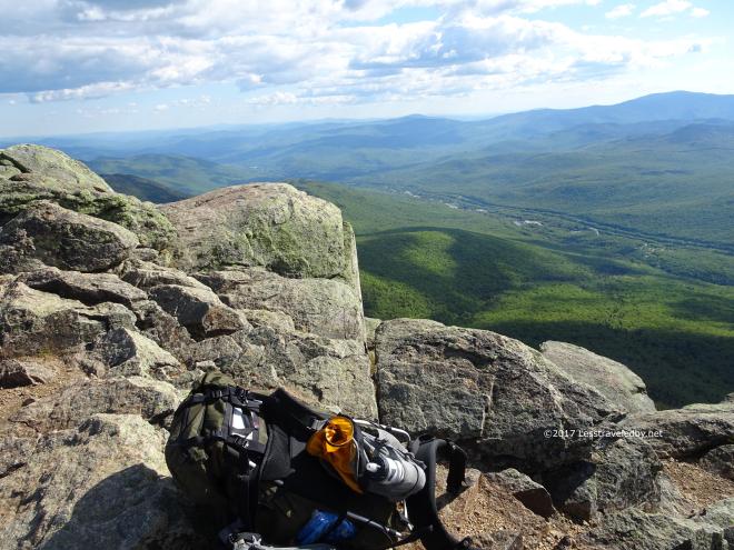 The rewards this day were more great views and access to the breeze. I’ve been up here when it was too hot and too cold, but this time it was just about perfect.
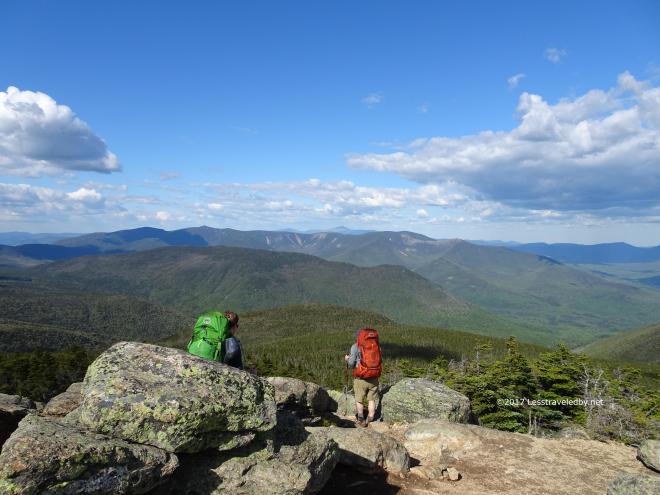 There were a couple of guys taking a break there when I arrived, but they pushed on to Liberty Springs to make camp and left it all to me for a while. Usually this spot is crowded so I enjoyed being able to sit and listen to the breeze for a while.
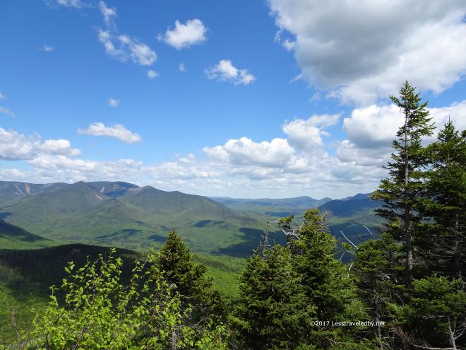
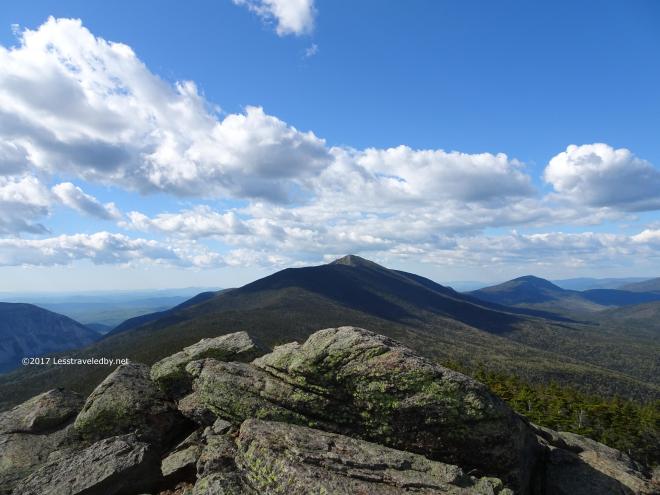 From where I sat I could see part of the next day’s hike laid out there in front of me. I’d be dropping down off the ridge to camp first, but then I’d be headed past the ridge and over Garfield to the right.
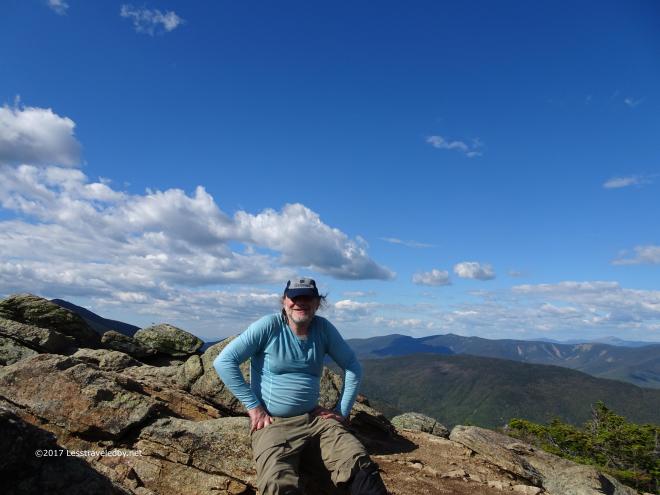 Today’s work was just about done though. It was nice to be able to sit up there and appreciate the spot alone for a while before heading down to the tent sites at Liberty Spring.
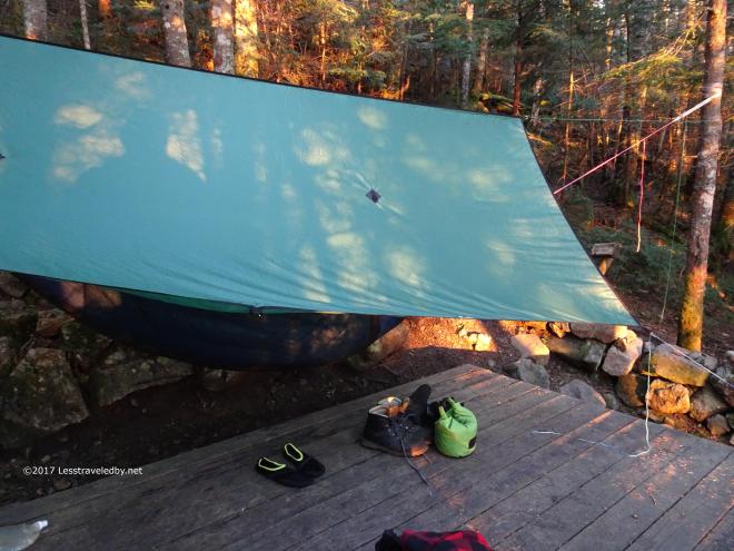 The AMC caretaker gave me my choice of spots, but in looking I found there were only a couple of small platforms still open. I set up my hammock off to one side in case she needed to squeeze one more person in.
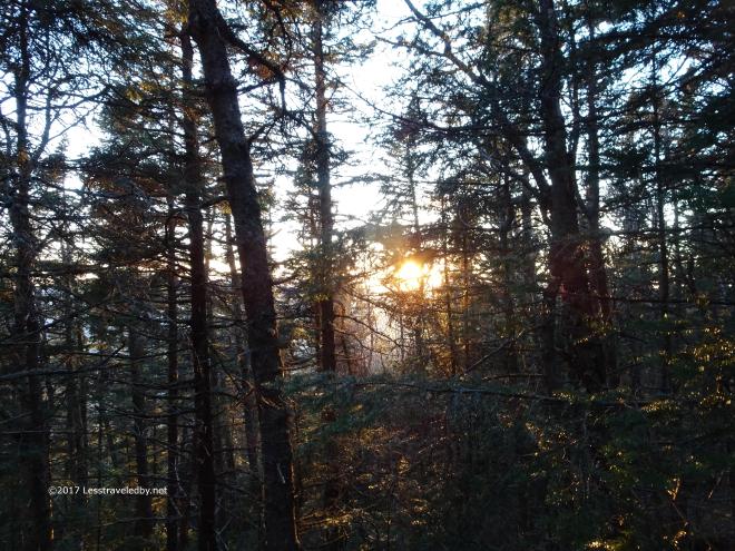 The sunset view from my site was partially blocked by trees, but the color coming through was great.
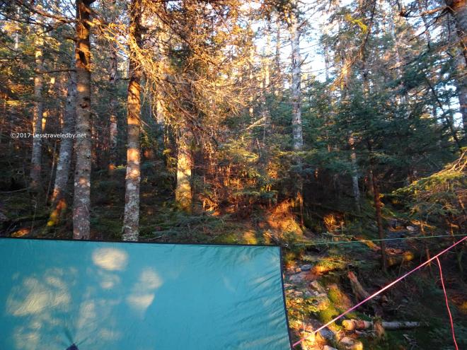 I timed it nicely to have my dinner in the cooking area and get back for the best part of the show. After that it was an early sleep both in hopes of an early start and from exhaustion after the day’s climbs.
 I headed out a little after sunrise, but still in time to have the trail mostly to myself for a while. Ran into a thru hiker who had started at the bottom of the notch that morning. He soon left me behind as he intended to try to reach Galehead by dark.
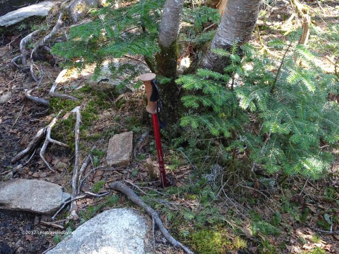 Not sure what this pole was doing here, but if anyone needed a spare they were in luck.
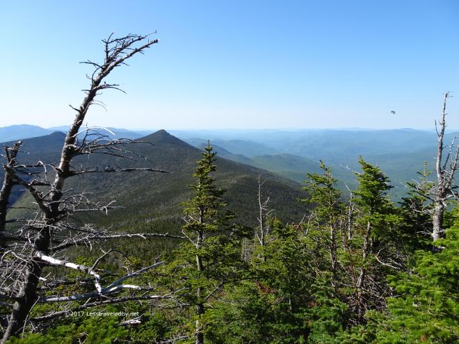 Looking back where I’d come from I could see yesterday’s peaks below me now. You can also spot an early season black fly 🙂
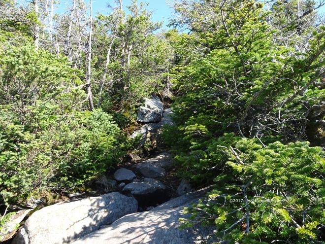 Squeezing up this little rock outcrop is usually a good excuse to stop for second breakfast and take some pics. These short little trees are the last shelter from wind and sun for quite a while.
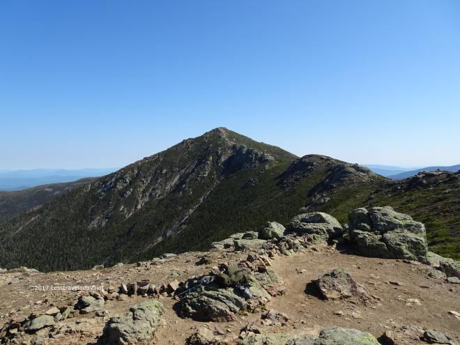 Breaking out on to the ridge I made it to Little Haystack before the crowds appeared, but not by much. I had the summit to myself for about five minutes before the first day hiker appeared. Several more soon followed and I could hear the ridge hikers from the tent site approaching as well.
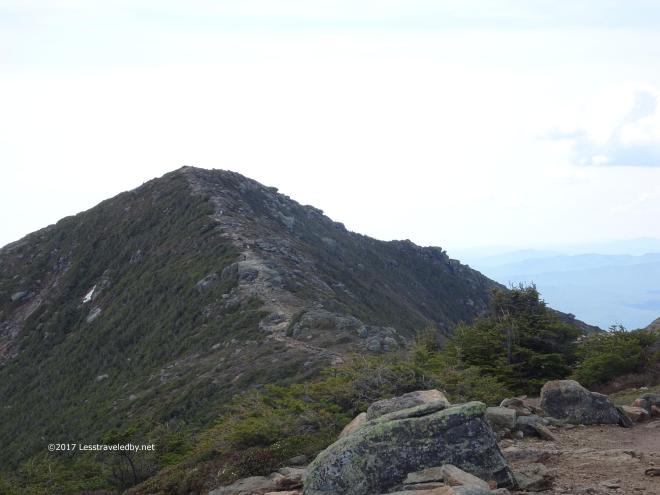
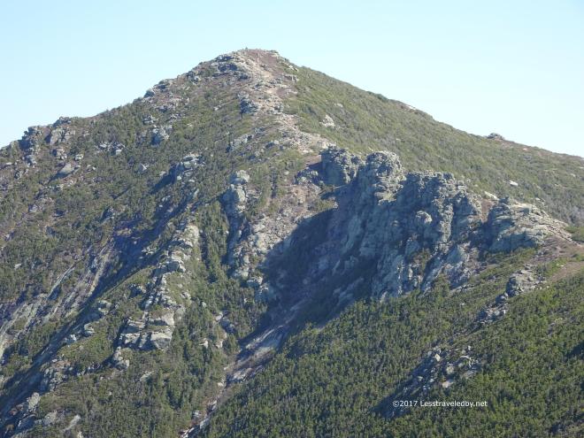 Mt Lincoln loomed in front of me, looking larger than it really was. I knew from previous experience it was a relatively gentle sloping ridge I had to climb, but it certainly looks imposing from this angle.
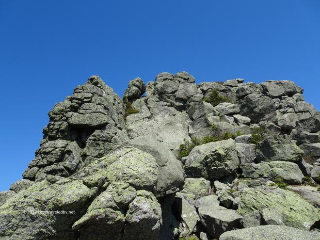 This rock pile looks imposing as well. The large, loosely stacked boulders on the top always catch my eye. They’ve been up there a long time and I always hope they are content to stay there a few more minutes while I pass by.
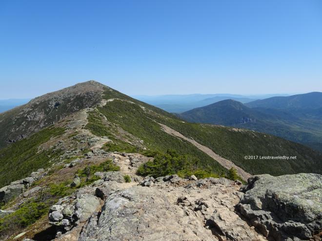
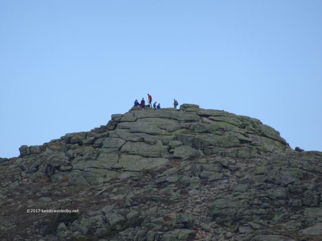 The crowd on top of Mt Lafayette grew as I slowly approached. By the time I got up there I’d guess there were at least 50 people if not more sitting in clusters on the rocks or with cameras at arms length taking selfies. I opted not to stop there for a break this time despite the fabulous views since I knew from previous trips how hard it is to take pics that don’t have someone else taking pics in them heh.
 I did take time to capture these little guys growing on the other side of the mountain. My wife loves small flowers growing in the rocks so I always try to catch a few with my camera when I spot them.
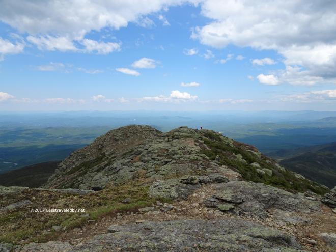 Once past the crowd on Lafayette the number of hikers dropped quickly. That speck of red in the distance is a guy from Scotland I chatted with briefly. He seemed to appreciate the lack of crowd on this end of the ridge too so I left him in peace.
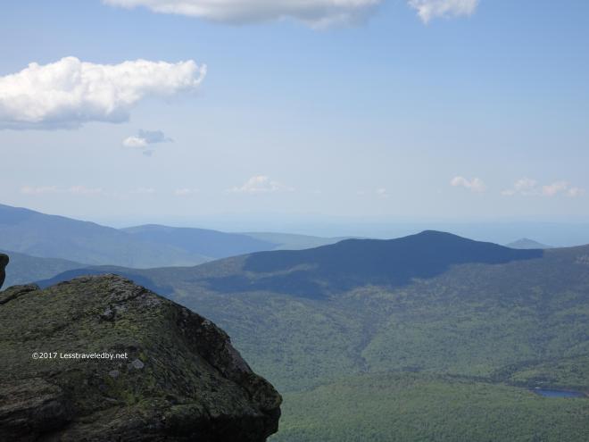
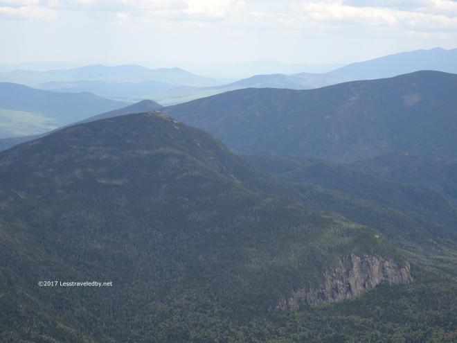 Despite being way down there from up here I knew that getting to the top of Garfield was about going up. Every time I reach this spot I find myself wishing there was a zip line to get there in minutes instead of hours.
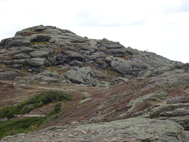 Of course that would mean I’d miss all of this beautiful terrain. There are some wonderful open slab sections before reaching the plummet at the end of the ridge.
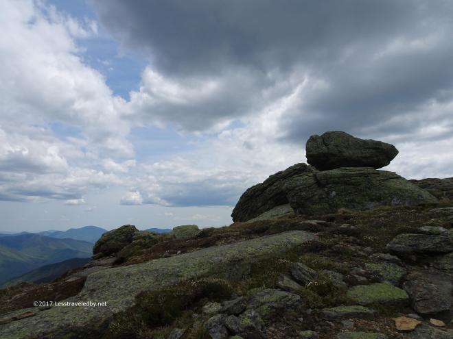 Soon enough it would be time to head down into the trees, but there was still a little time to appreciate the sky behind the rocks.
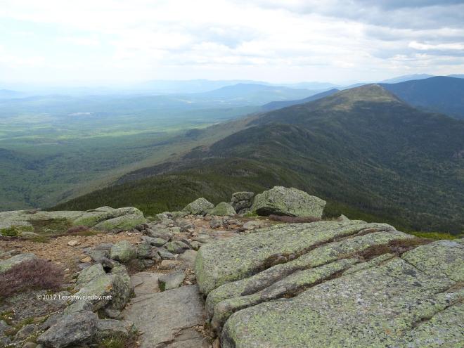 Then the rocks ended and it was time to plummet! The climb up Garfield is a series of climbs and dips, but the drop from Franconia Ridge to the col below is down in a couple of steep drops.
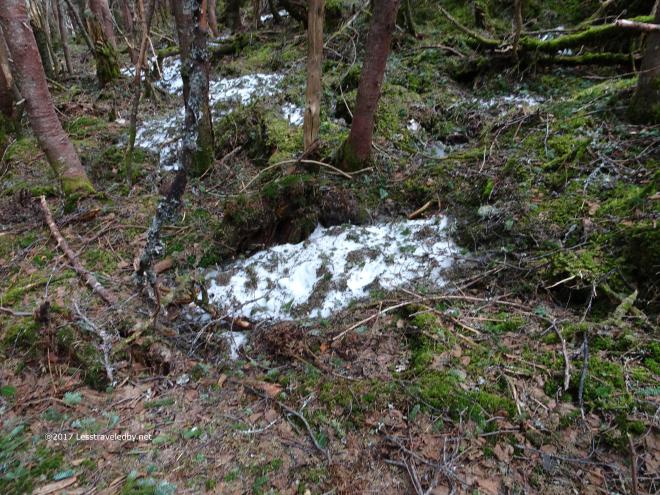 Down below I found more snow! I also found some water bubbling out of the mud next to the trail. Normally I’d not consider that a water source, but I was badly in need and there were already two other hikers scooping from the little flow. It was coming out clear enough and filtered just fine so I was happy to have it.
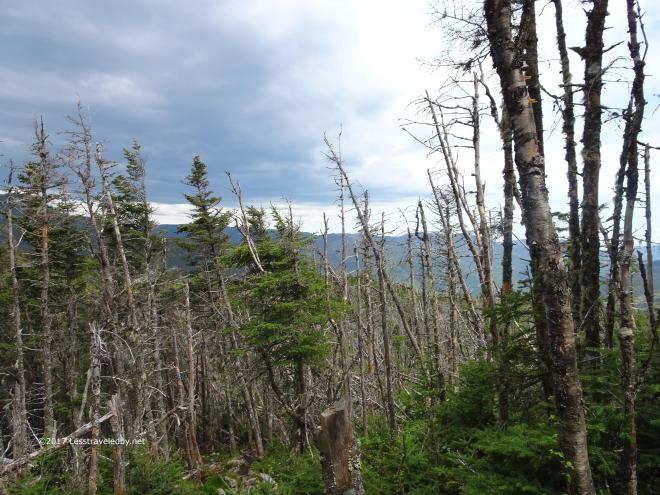 The late day skies were starting to look a little threatening as I approached Garfield summit. This area sees some strong winds and most of the trees looked a bit ragged.
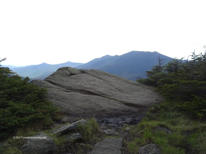 Just below the actual summit is this more sheltered area with a few big rocks which are nice for sitting. You’ll notice all of my trip reports from this area have a picture or three taken here. It isn’t just pretty. I’m usually exhausted by the time I get to this spot and ready to take a break!
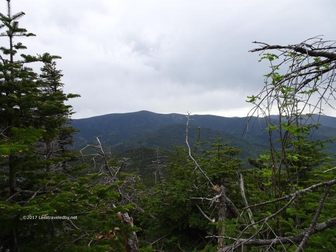 After a peaceful night spent at the Garfield campsite I woke to gray skies. Just about the time I finished putting my pack on it began to rain lightly.
 This was a mild storm by local standards. The shortened trees with missing tops told a story of strong winds and heavy snows on this side of the mountain.
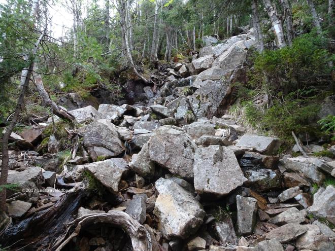 Thankfully the rain was just getting started and the rocks weren’t too wet when I reached this section. This giant rock pile is part of one of the steepest half miles sections of the AT. Normally I’m grateful to be going down instead of up, but with wet rocks, down is not much fun either.
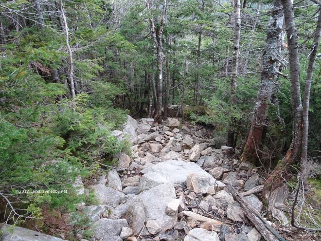 With the rain increasing and the trail becoming messy I decided that when I reached the bottom I’d turn off into the valley rather than remaining on the ridge. It meant giving up a visit to the Bonds, but it also meant avoiding a slippery climb up South Twin and the exposed peak I’d find at the top there.
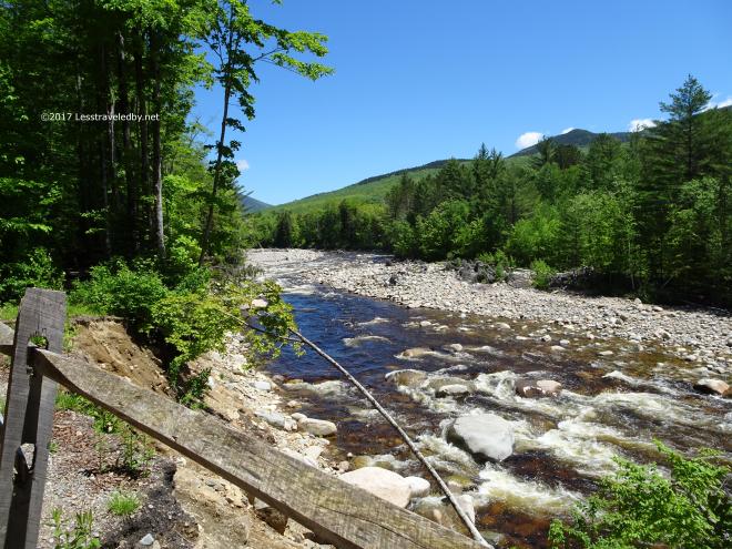
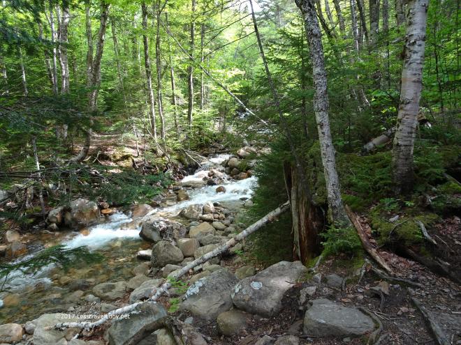
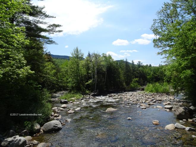
 The Franconia Brook was flowing much stronger than on my last trip where I’d sat in the middle of the mostly dry river bed.
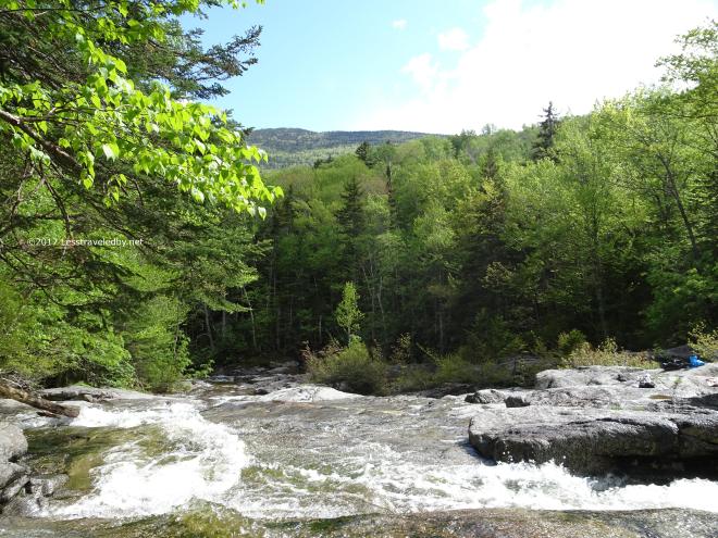 I questioned my decision to come down off the ridge when the sun poked out for a bit. Still it was nice to be done hiking early and have camp all set up if things changed for the worse.
 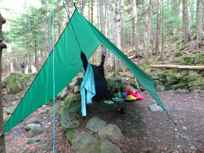 They soon did and I spent a leisurely afternoon in my hammock listening to the rain on my tarp.
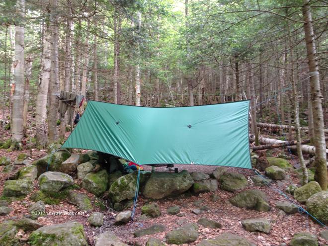 The best hanging trees were not lined up over the tent platform, but I’m learning to work with what I find rather than trying for perfection.
 In this pic from the next morning you can see how close the sites are at the 13 Falls campsite. There was a group of guys from Mexico City set up in a couple of sites behind me. They hiked in with beer! Maybe not serious backpackers, but I was jealous when I heard them popping cold ones in the dark that night.
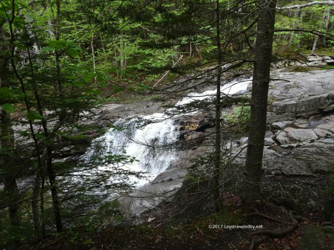 I had sunshine for the hike out and stopped for several big snacks along the way. A great morning for walking in the woods is always better with cheese and sausage!
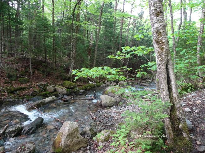 There were plenty of little water crossings along the way and one big one. After the drought last year I was happy to see water everywhere again like it is supposed to be. Some of these crossings were bone dry last Summer.
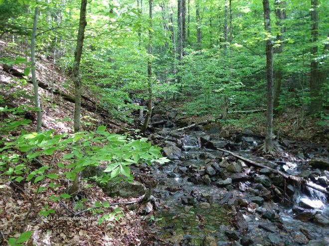
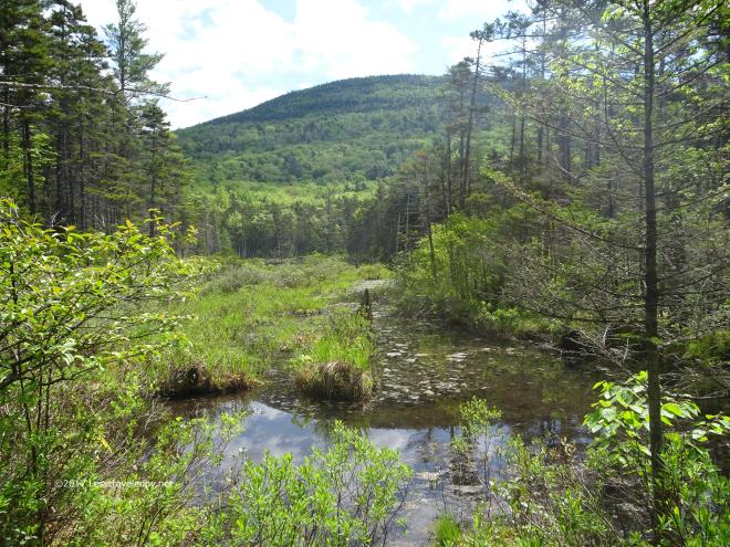 The ponds were looking much better too though I think they need another year to really get back to normal.
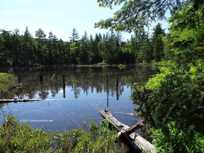 The biggest one looked less scummy than last year but I think it could use another foot or so of water in there.
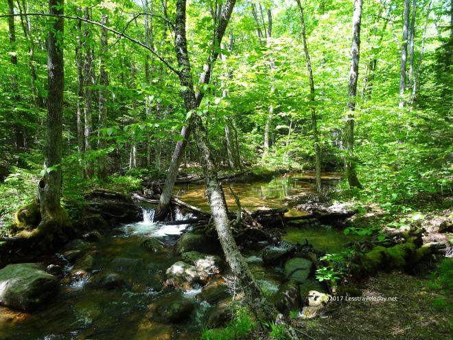
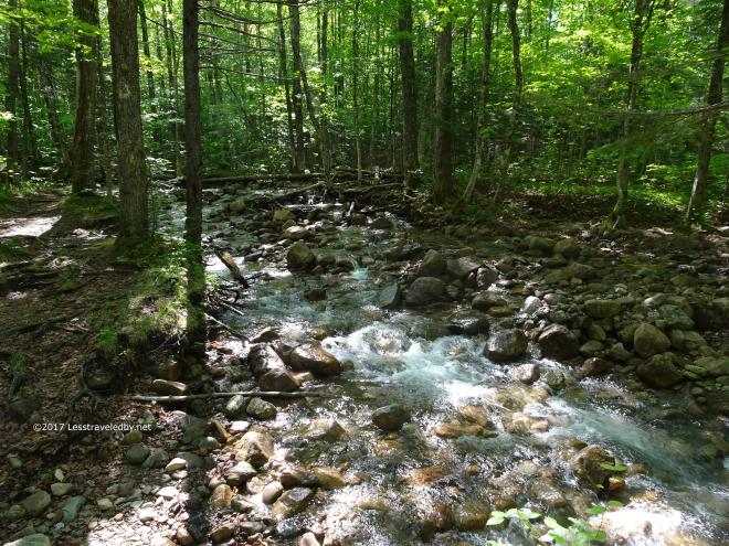
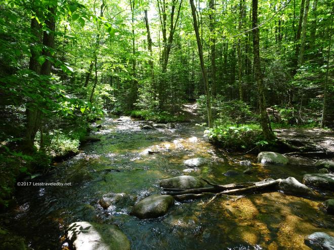 It being Friday I started to see more and more people as I worked my way out of the wilderness. Still plenty of pretty brooks to take pics of so I focused on that.
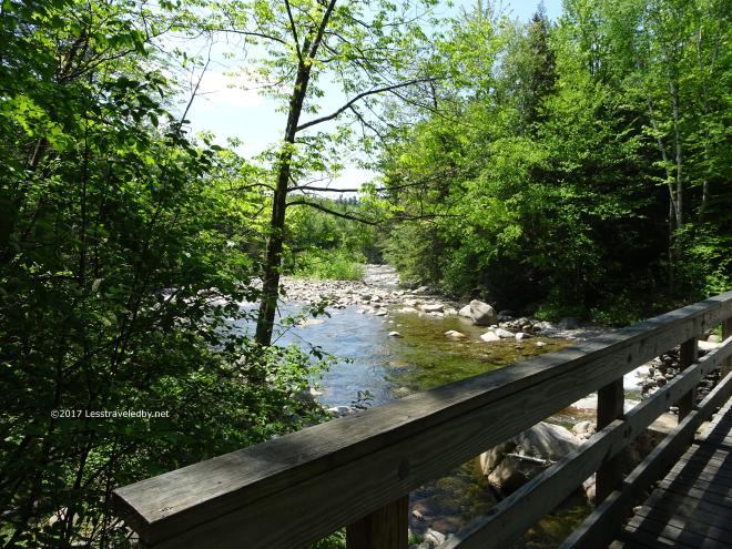
 All too soon I ran out of trail, though at the time I seem to recall appreciating the cheeseburger I could smell on the horizon. Other than a little rain it had been a darn nice few days in the woods. Having done most of this route in the Fall it was interesting to see it in June. Different colors, different light, same amazing views!
Hope you folks are getting out somewhere. I’ve been out three or four times since this trip so there are plenty more adventures to report on. The question is; When will I stay home long enough to write them up? Hopefully not soon!
