
Slowly catching up on a back log of Adventure Reports and this one definitely qualified as an adventure, though not all in good ways. The plan called for a seven day loop cutting through the middle of Baxter State Park south from Matagamon Gate to Roaring Brook and then looping back north on the IAT. Some pretty pictures and a story to tell as my reward I have no regrets at how things turned out, but I hope to get another chance at finishing this loop next year.
 Since the park doesn’t allow motorcycles I made arrangements to leave my scoot at a campground near by. The gentle up hill road walk to the gate was a nice way to stretch out the legs after a long morning of riding.
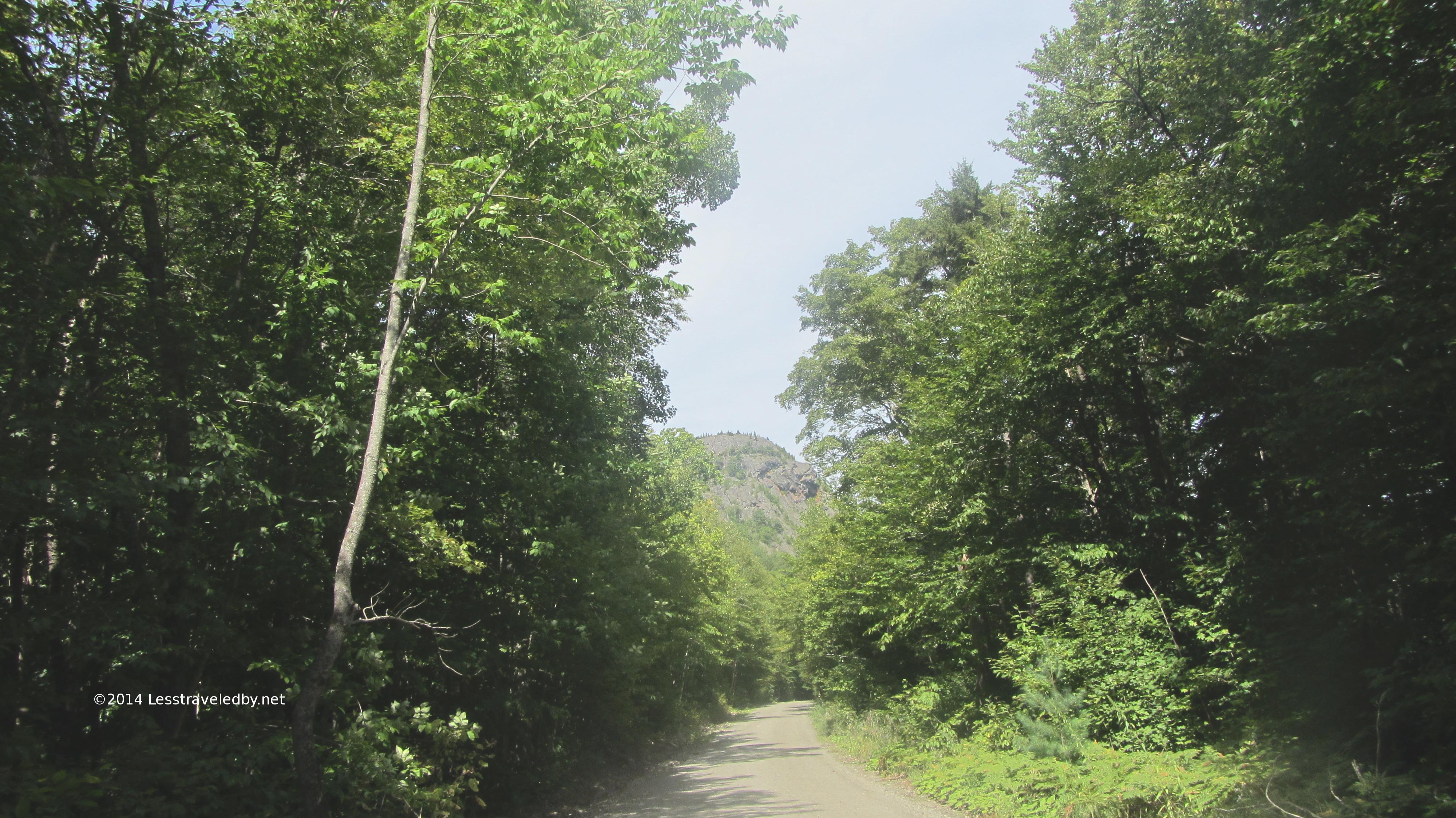
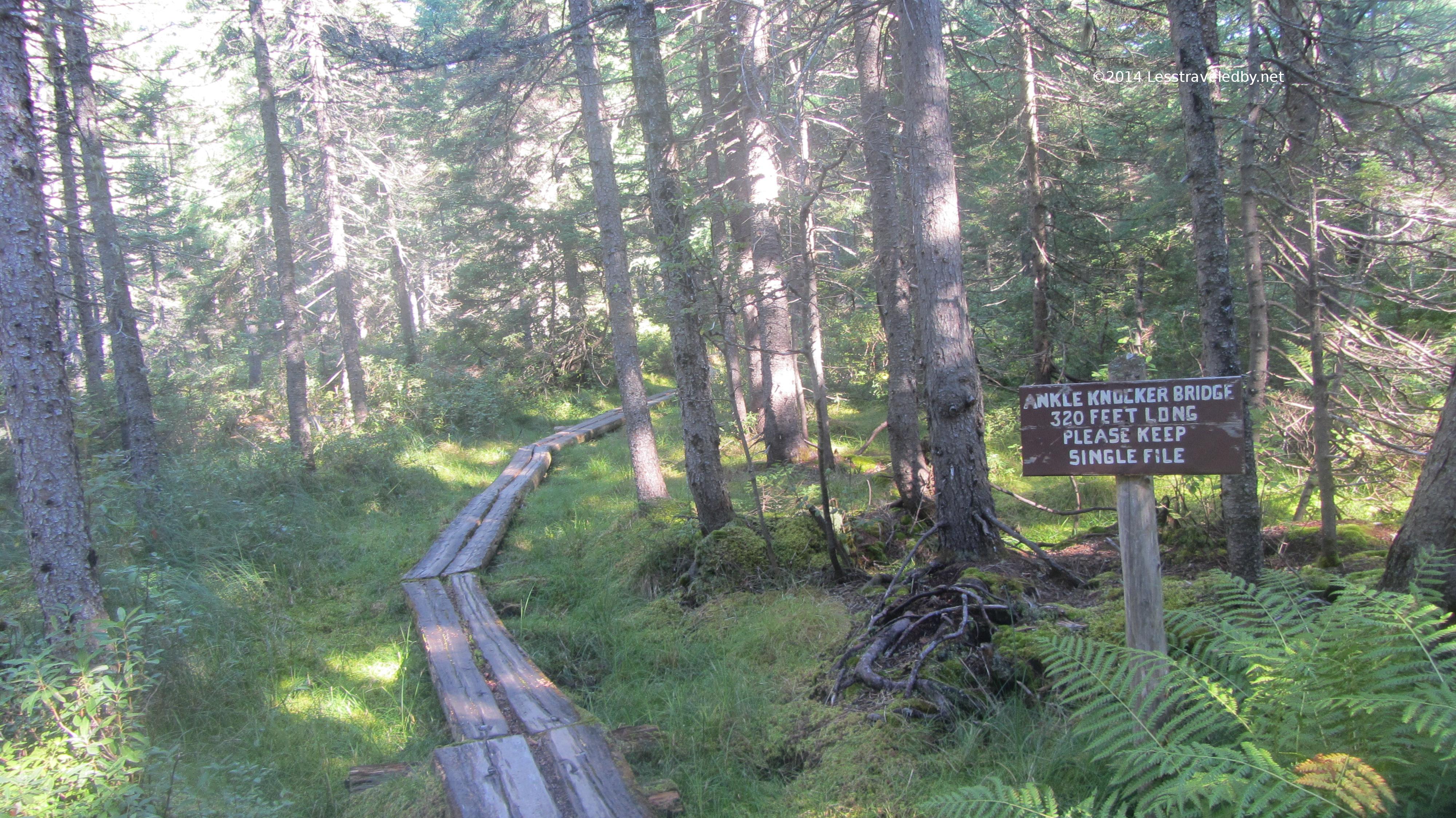
 It also allowed some time looking up towards the first climb. That is just one of the lower knobs with the peak of Horse Mt behind the trees on the left. Still it put the road walk in perspective so I enjoyed it instead of complaining. After a quick check in with the ranger at the gate it was great to finish with the road and get out into the forest.
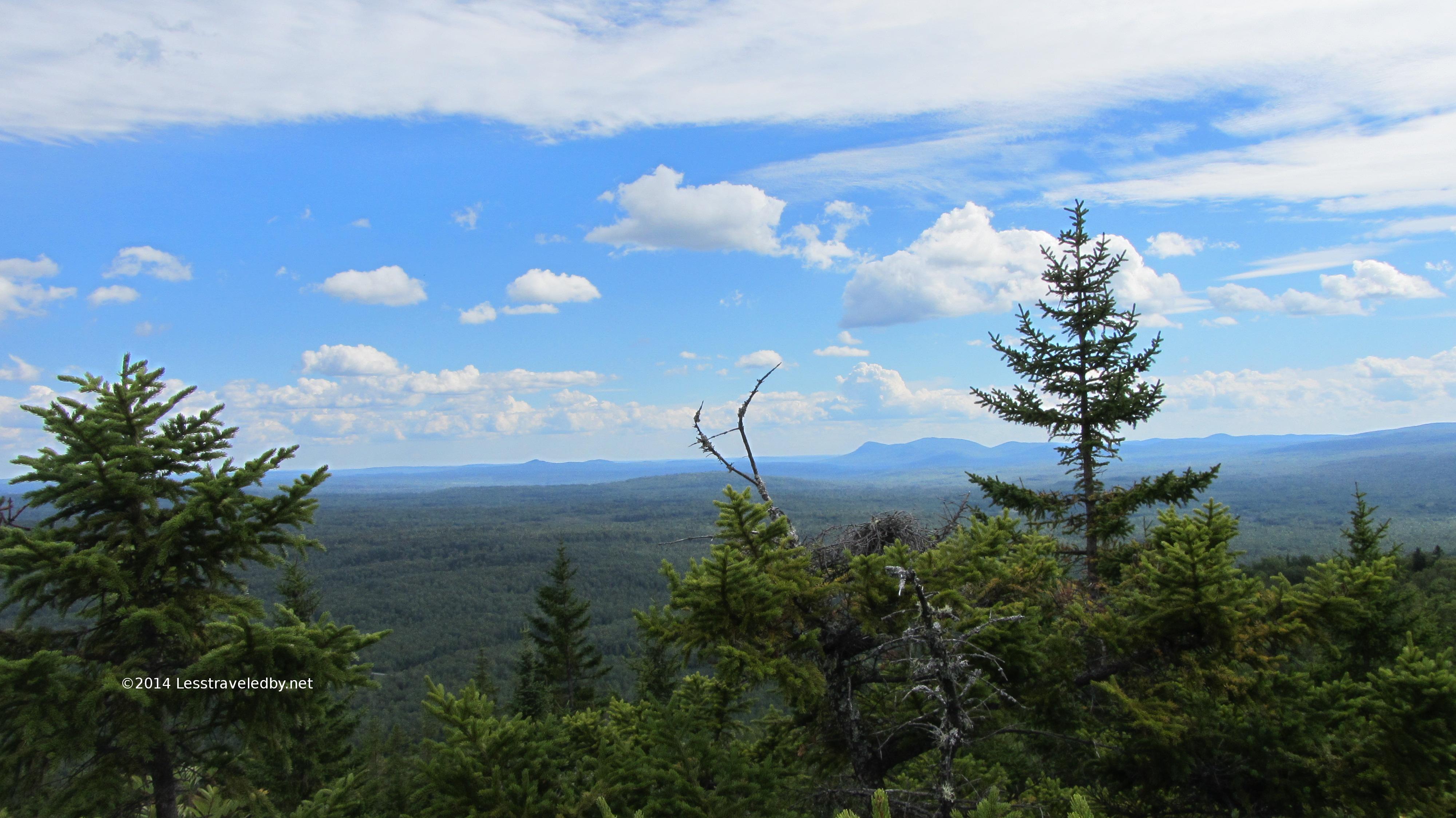
 It was a hot day, but the climb of 800′ or so was spread out over more than a mile making for a pretty quick trip to the overlook trail. It isn’t often I make time for side trails like this, but as you’ll see in the next few pics this one was worth the time.
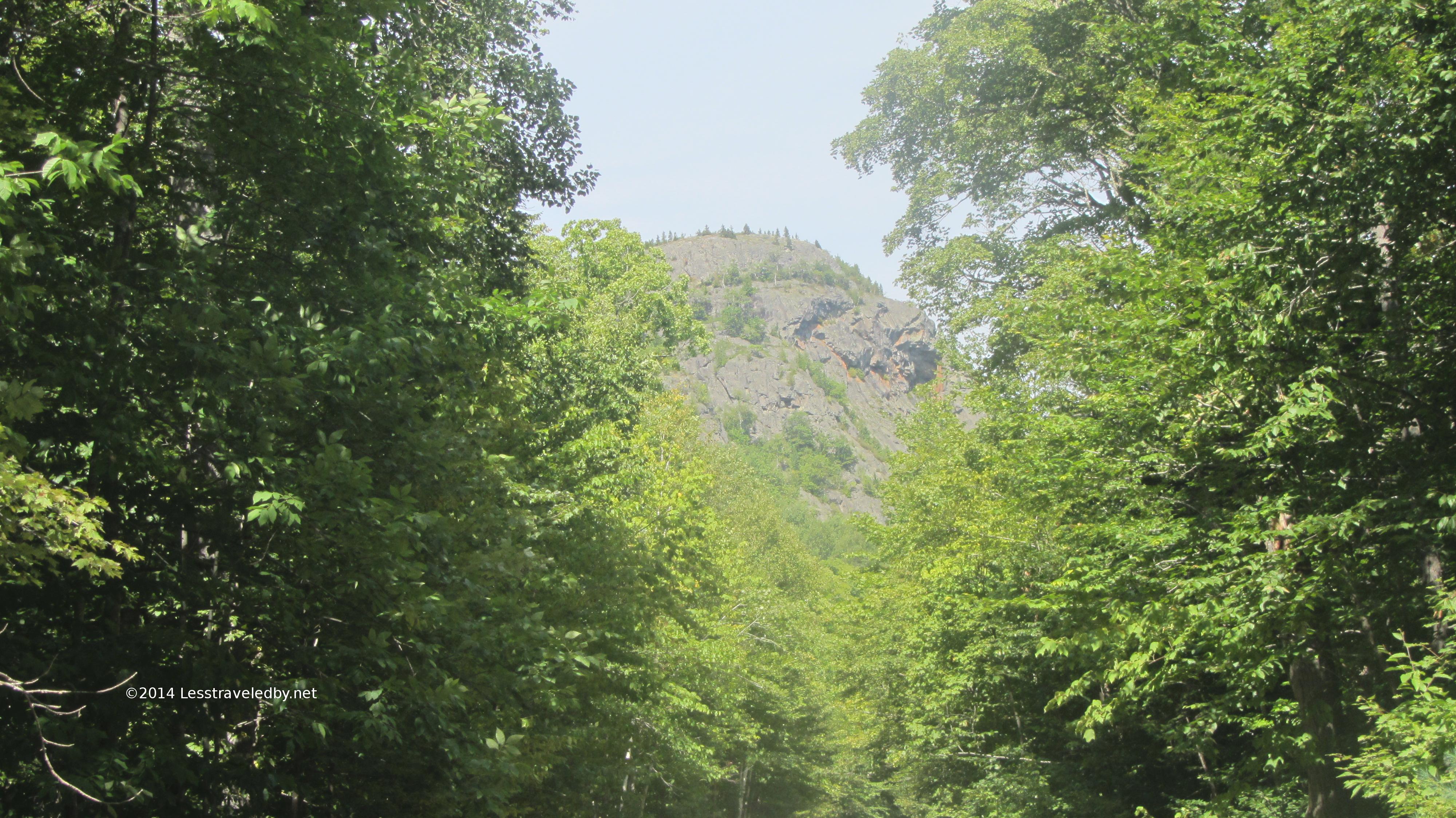
 Looking north towards the knob seen on the road walk in. If I was day hiking this I’d have bushwacked over to it so I could get the reverse picture of the road.
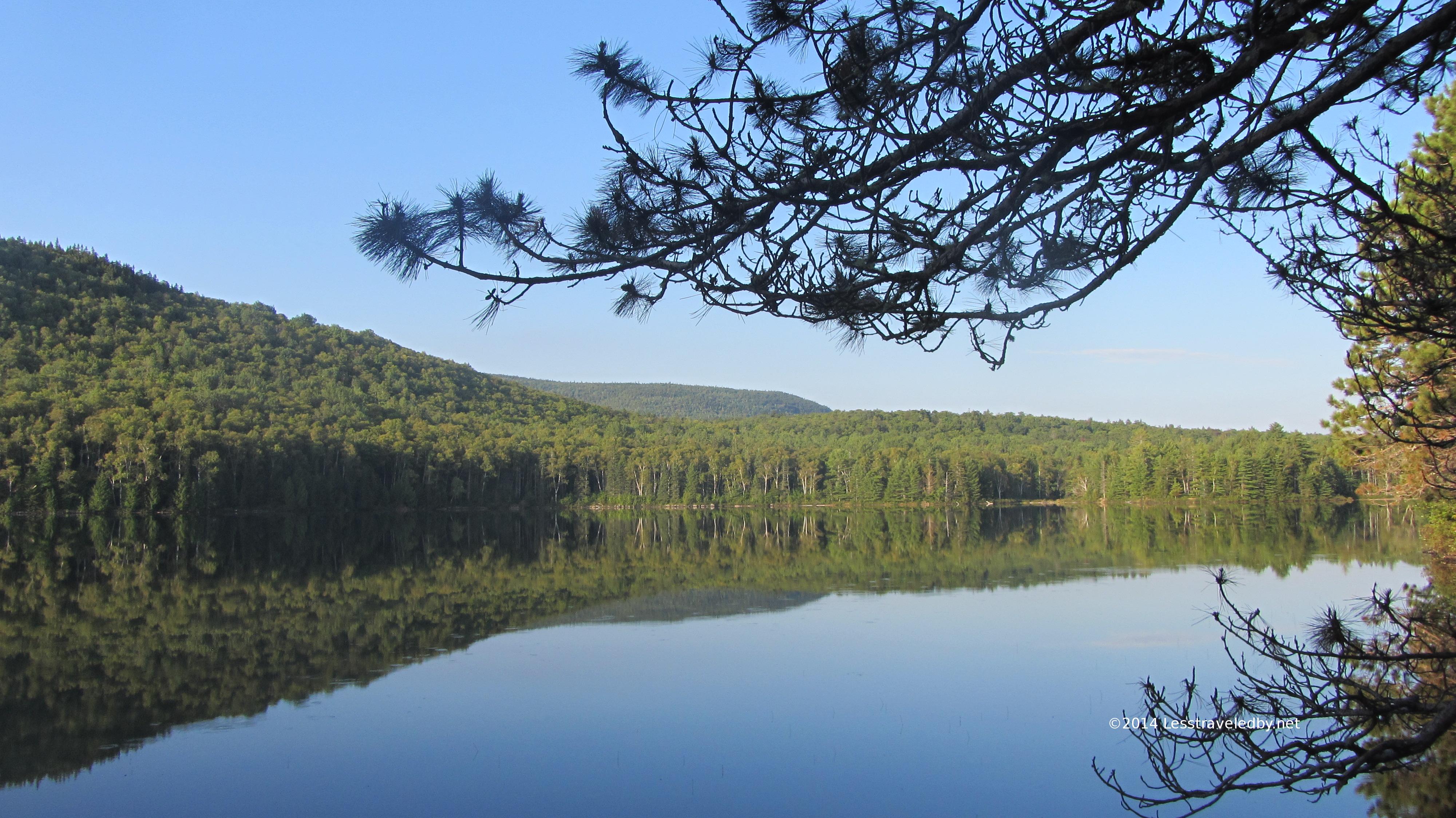
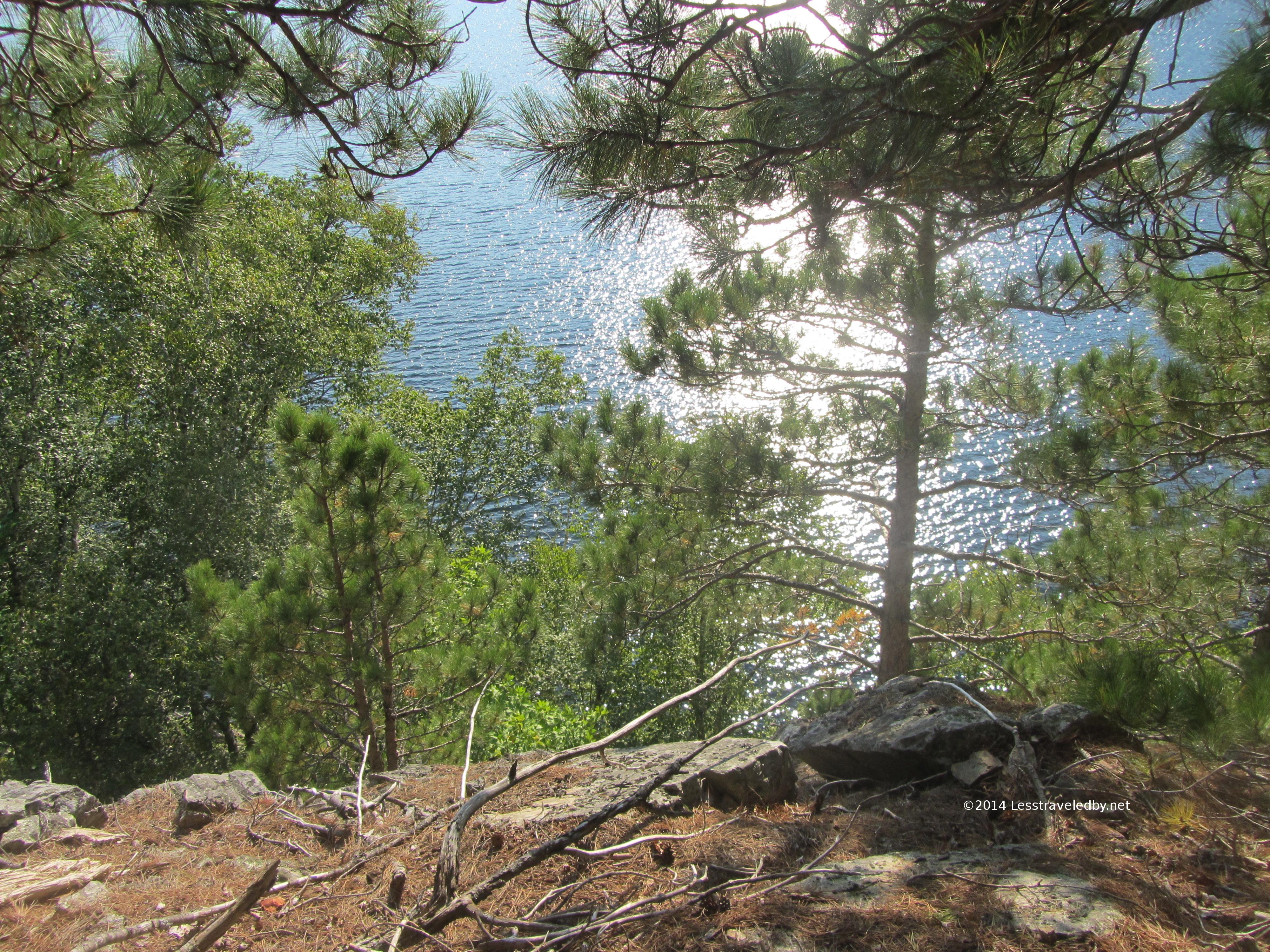
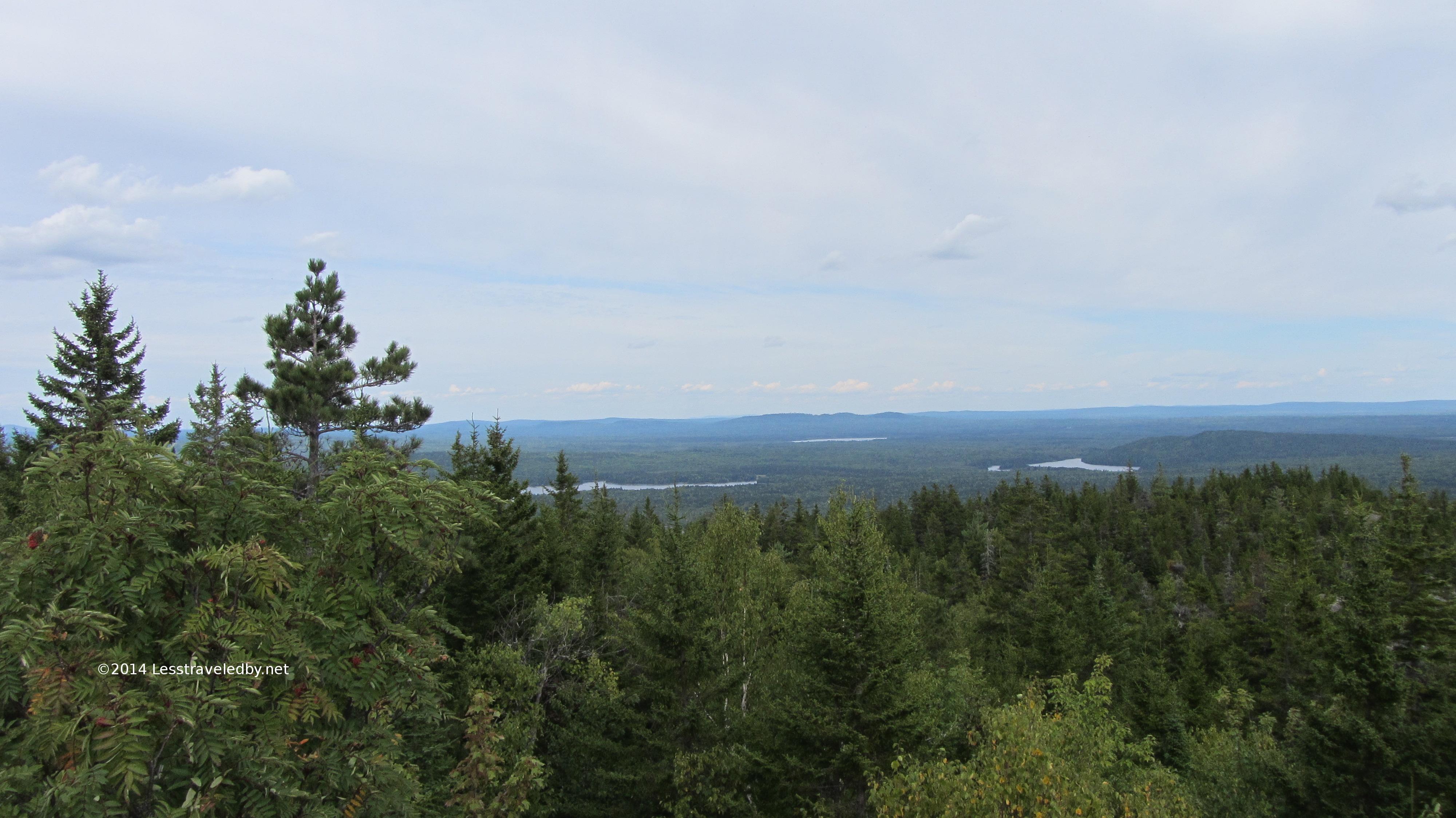 Looking southwest towards the Fowler Ponds though I’m pretty sure that is Long Pond on the left
 The east branch of the Penobscot is down there somewhere but mostly I was getting a pic of the clouds in this one as I recall
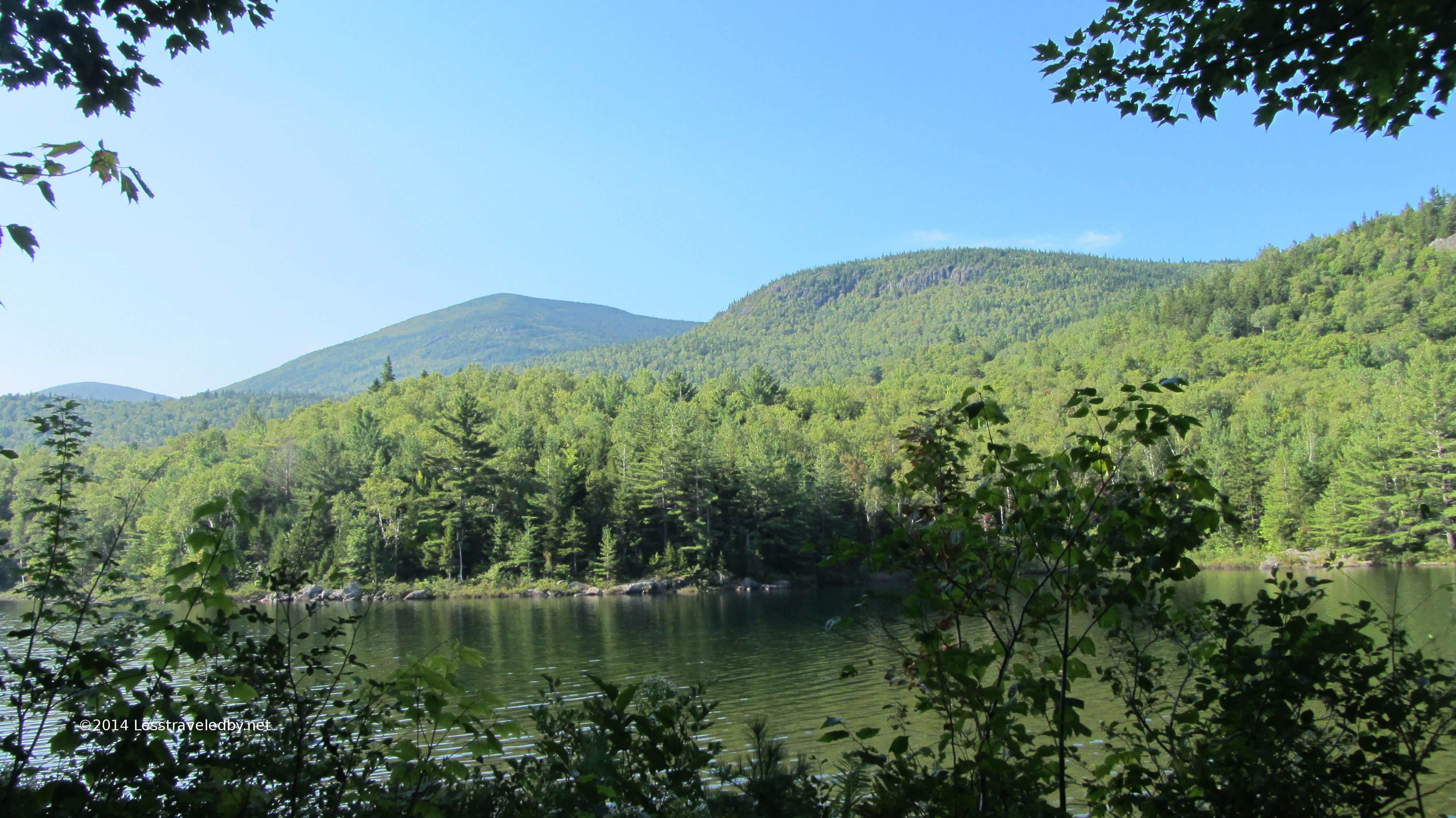
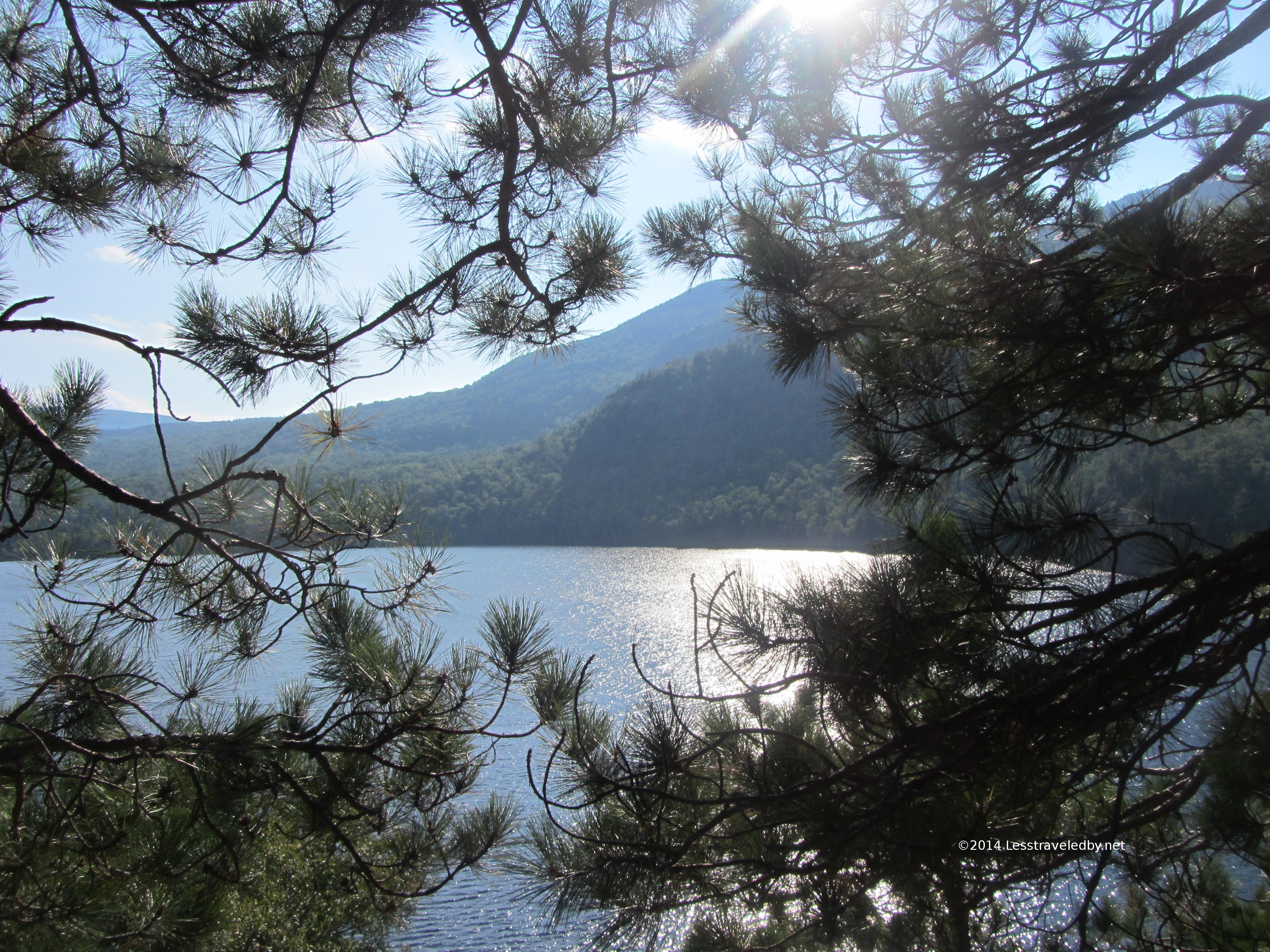
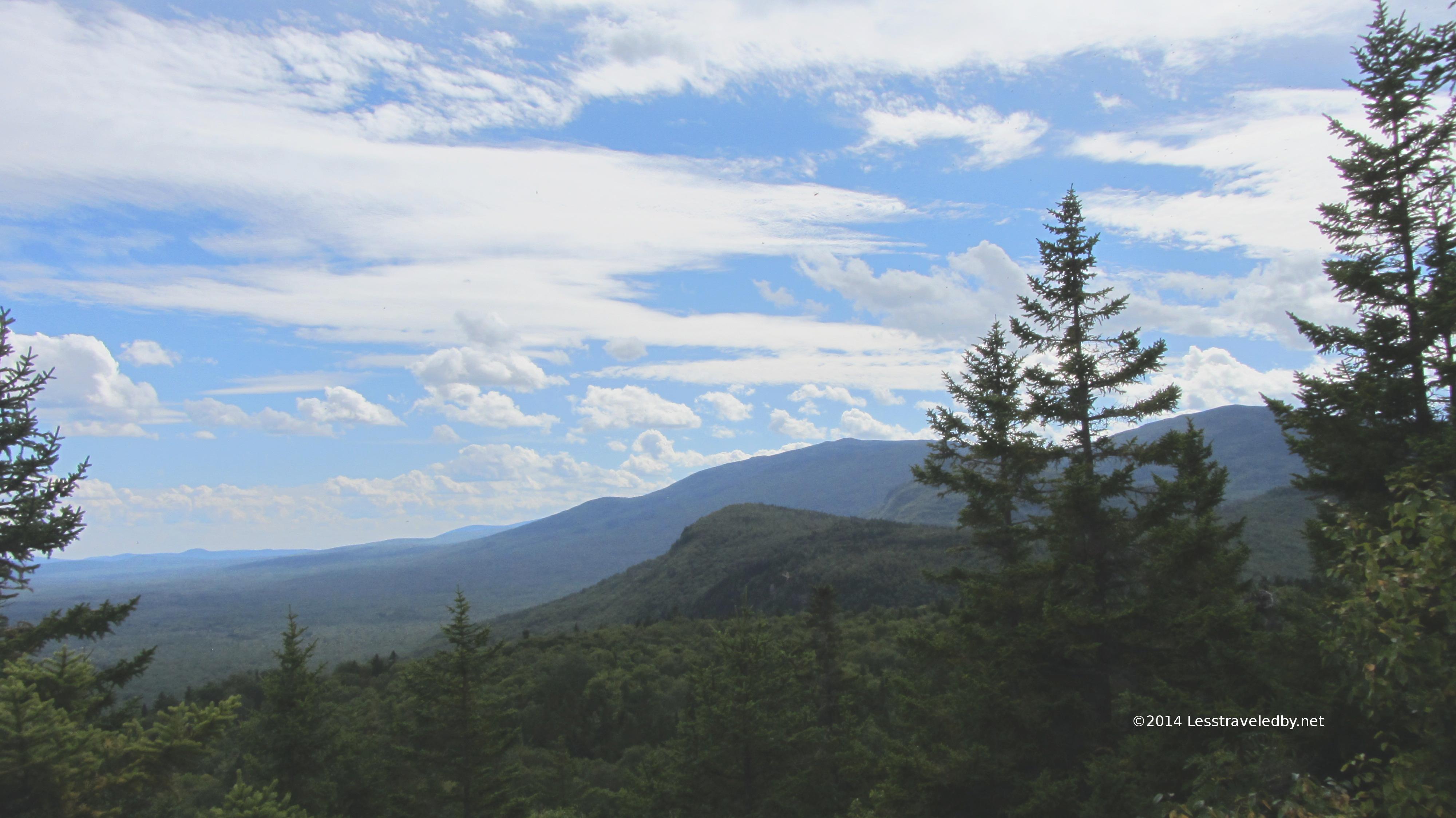 Billfish and Bald Mts to the south, again with nice looking clouds.
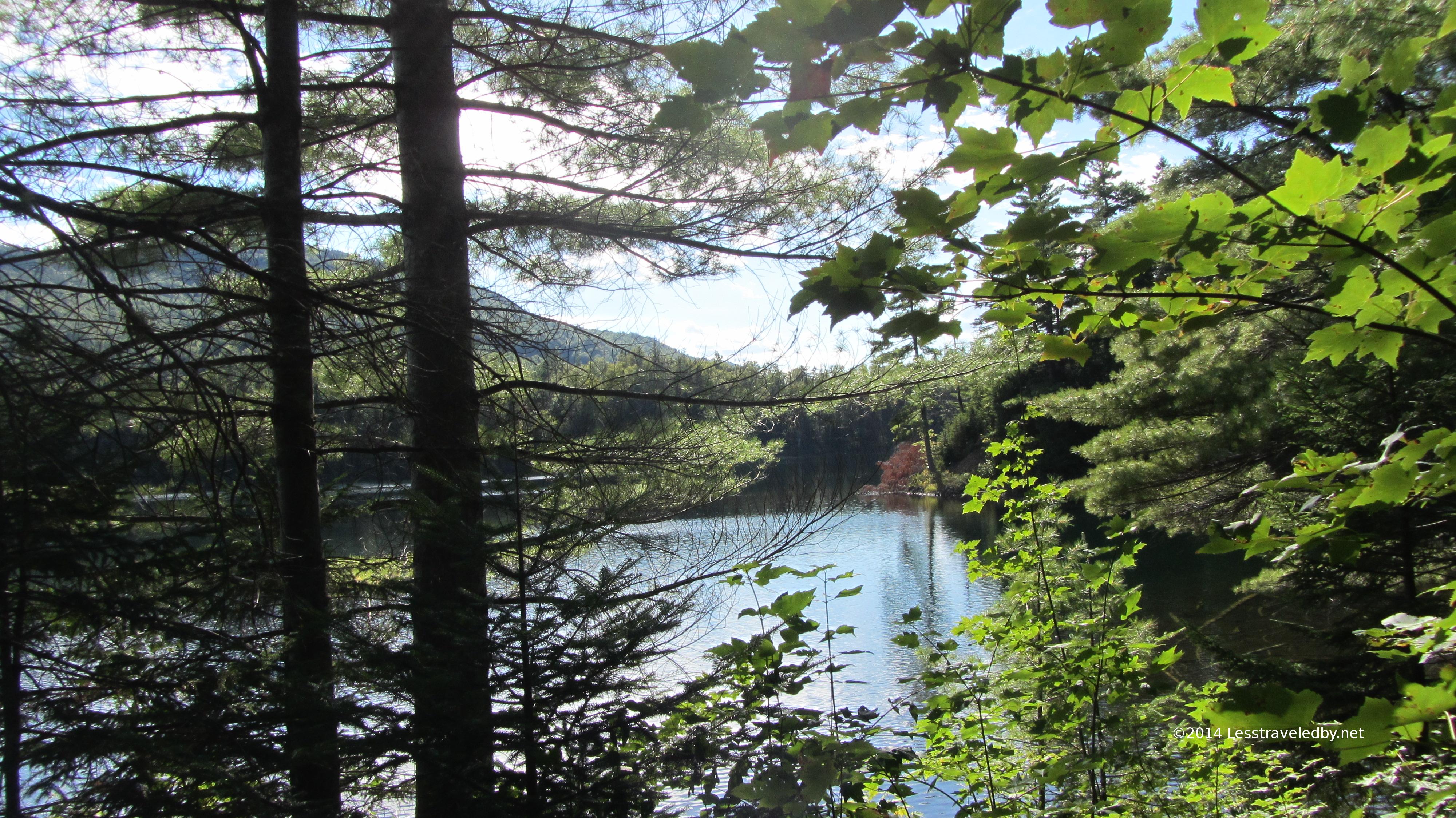 There were a few quick peeks at Billfish Pond as the trail headed towards the camp site and intersection with the Five Ponds trail. The site there is not right on the water so rarely booked. Might be nice with small children you needed to keep away from the pond.
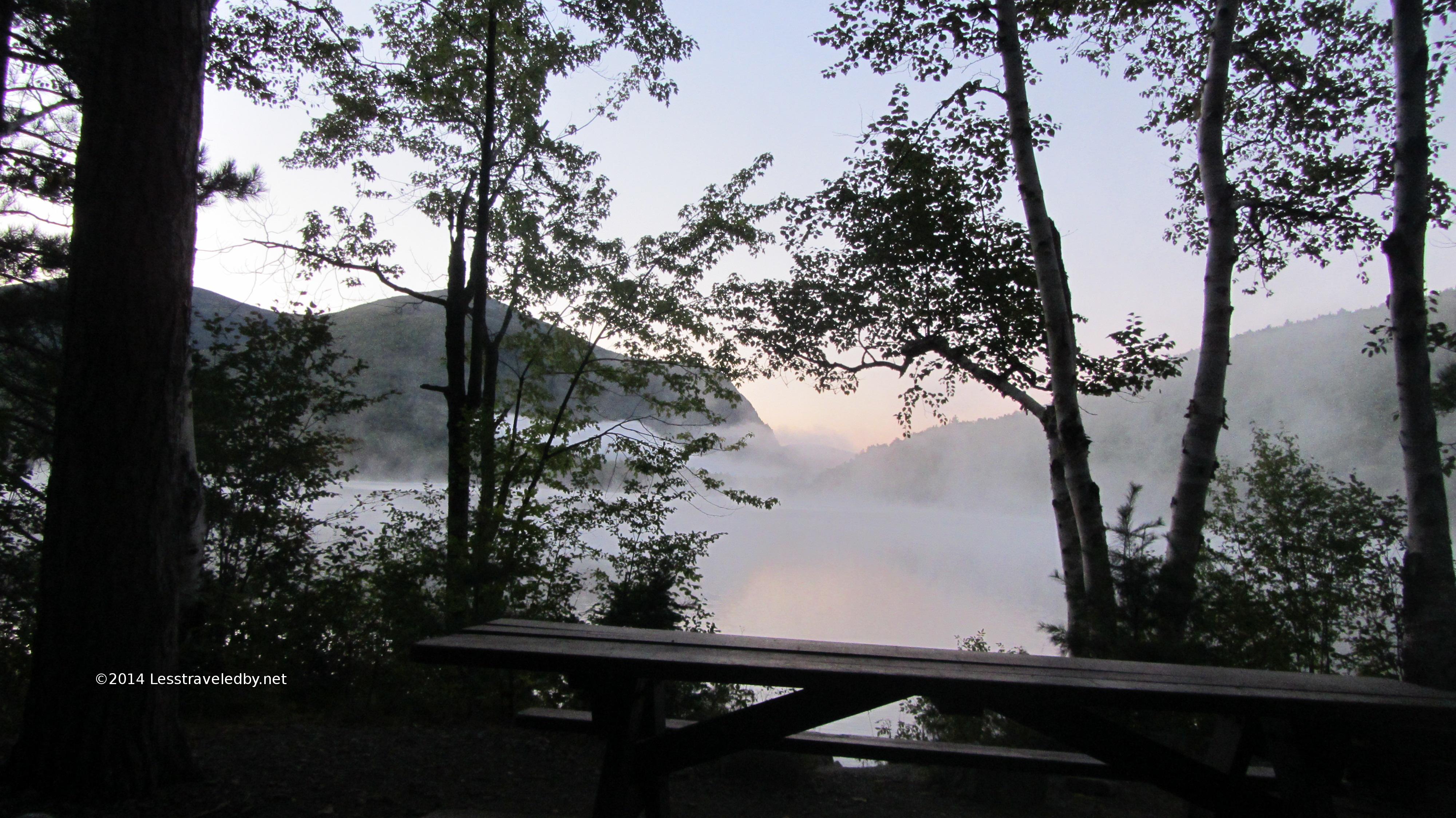
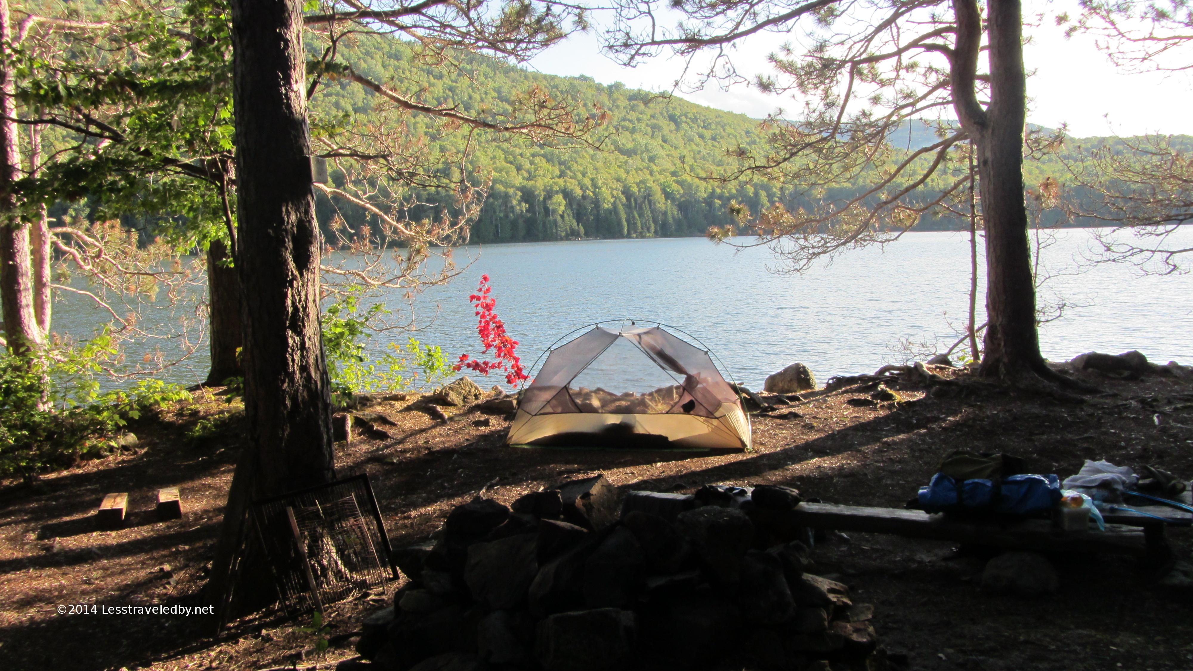 Beautiful late afternoon at the Long Pond Pines site. It was early September, but hot and still so what bugs remained were quite active.
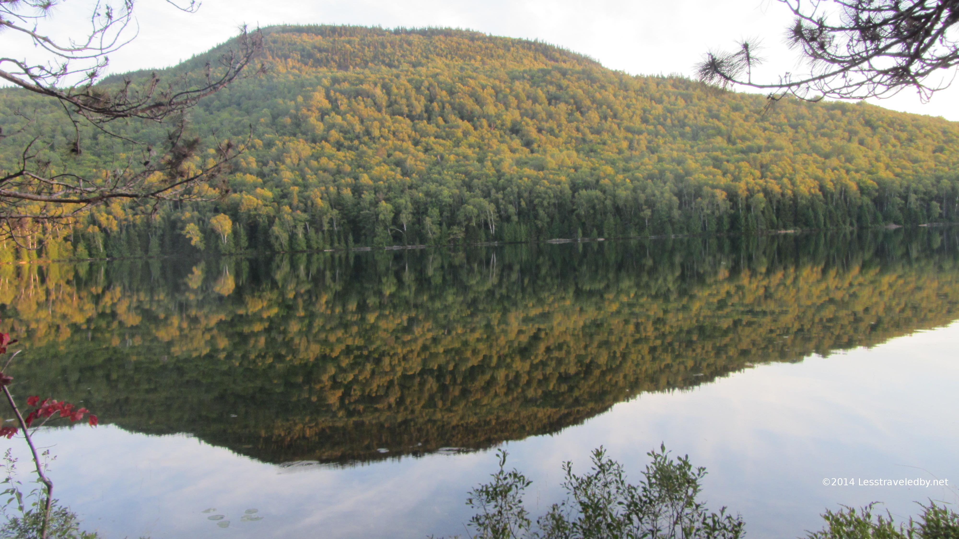 Dead calm made for muggy to go along with the buggy, but you can’t beat still water for great reflections
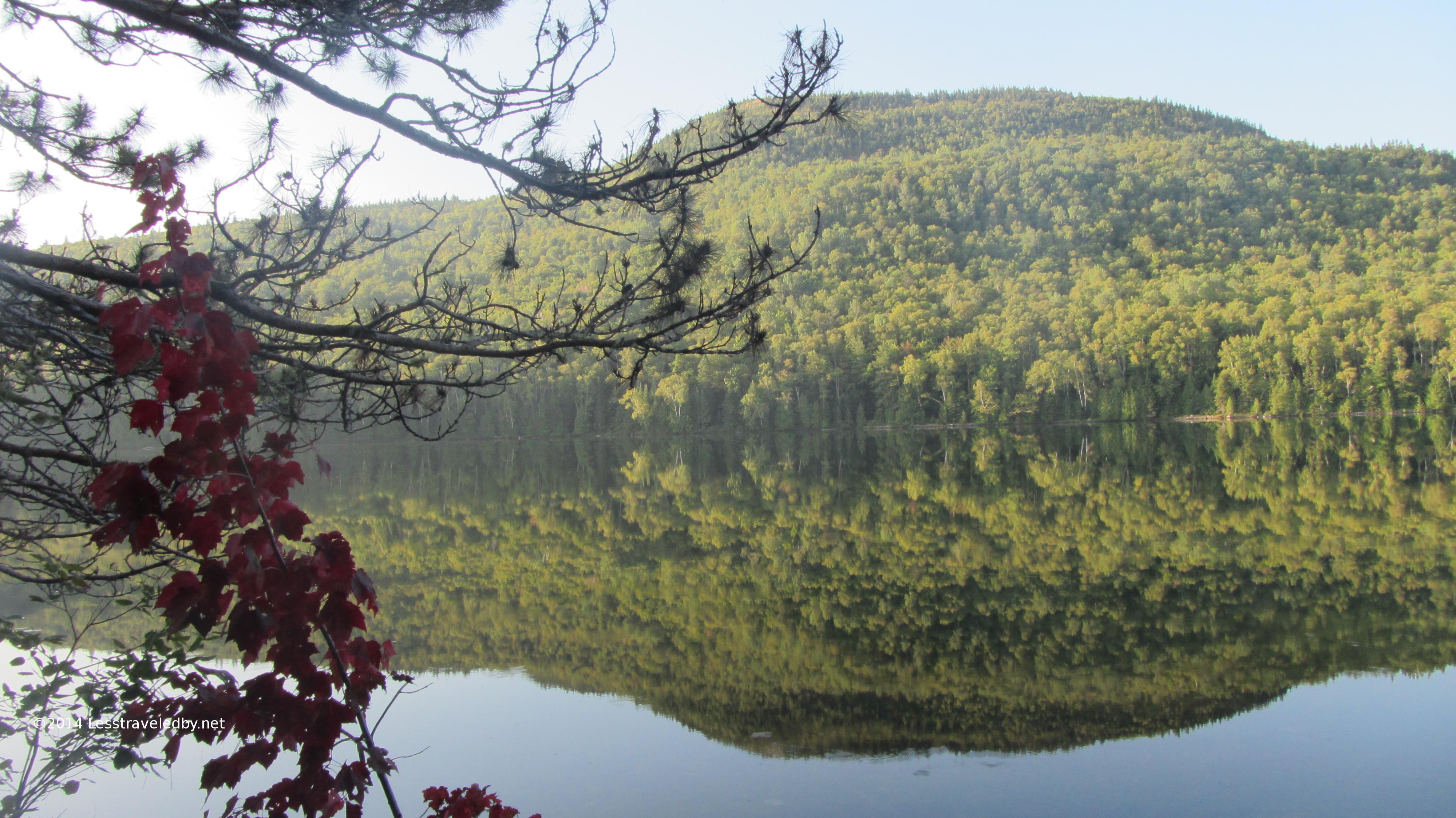
 Late afternoon sun almost made the trees look to be in fall color
 Despite the weather it was a great night for sleeping on the water. Once the beaver finally clocked out for the night it was just me, the loon and a few thousand mosquitoes whining outside my netted tent.
 Dawn was in a word steamy. Totally still, warm and humid. I noted that I was sweating as I broke camp around 530a and realized it was going to be a day to be taking care of the body.
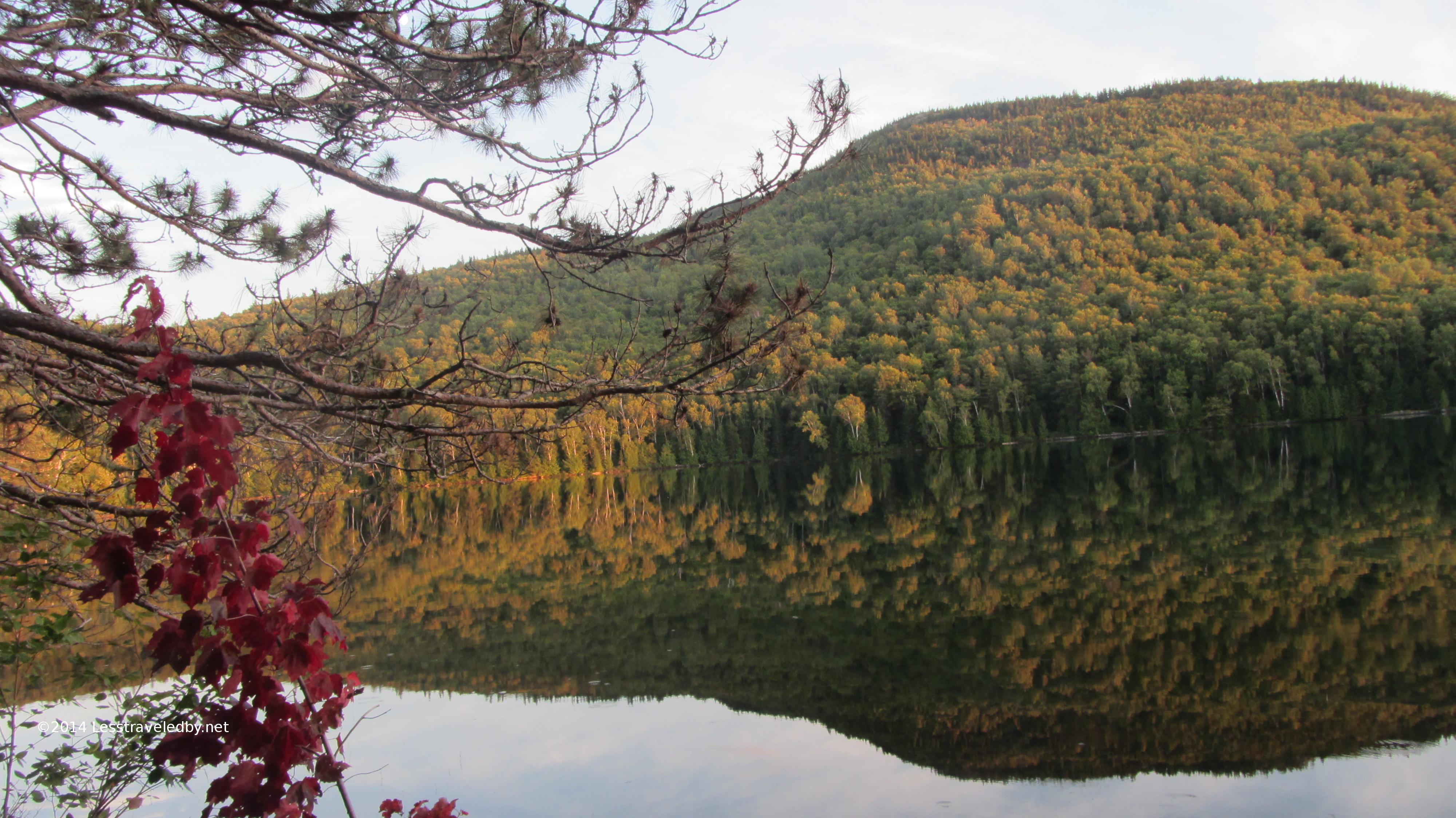
 One last look at Barrel Ridge in the distance before leaving Long Pond Pines
 I stopped at Middle Fowler North campsite to top off my water supply and camel a liter or so. While there I noticed the rangers had come through and toppled that tree I’d reported as ready to fall. Looked like they just pushed it over and moved the signs.
This spot also provided a great view of the next leg of my trail as it climbed up the high end of Barrel Ridge. North Traveler pokes up beyond as well.
 Looking back across Middle Fowler with the north face of Billfish Mt behind the camp site
 Never having visited the south camp site at Middle Fowler I was a bit underwhelmed when I found it. Also a bit confused because it showed up prior to the trail intersection rather than after as my maps indicated. Turns out the site had to be moved and it looks like they took a minimalist approach. It would be fine for solo or duo but seemed a bit cramped for a larger group.
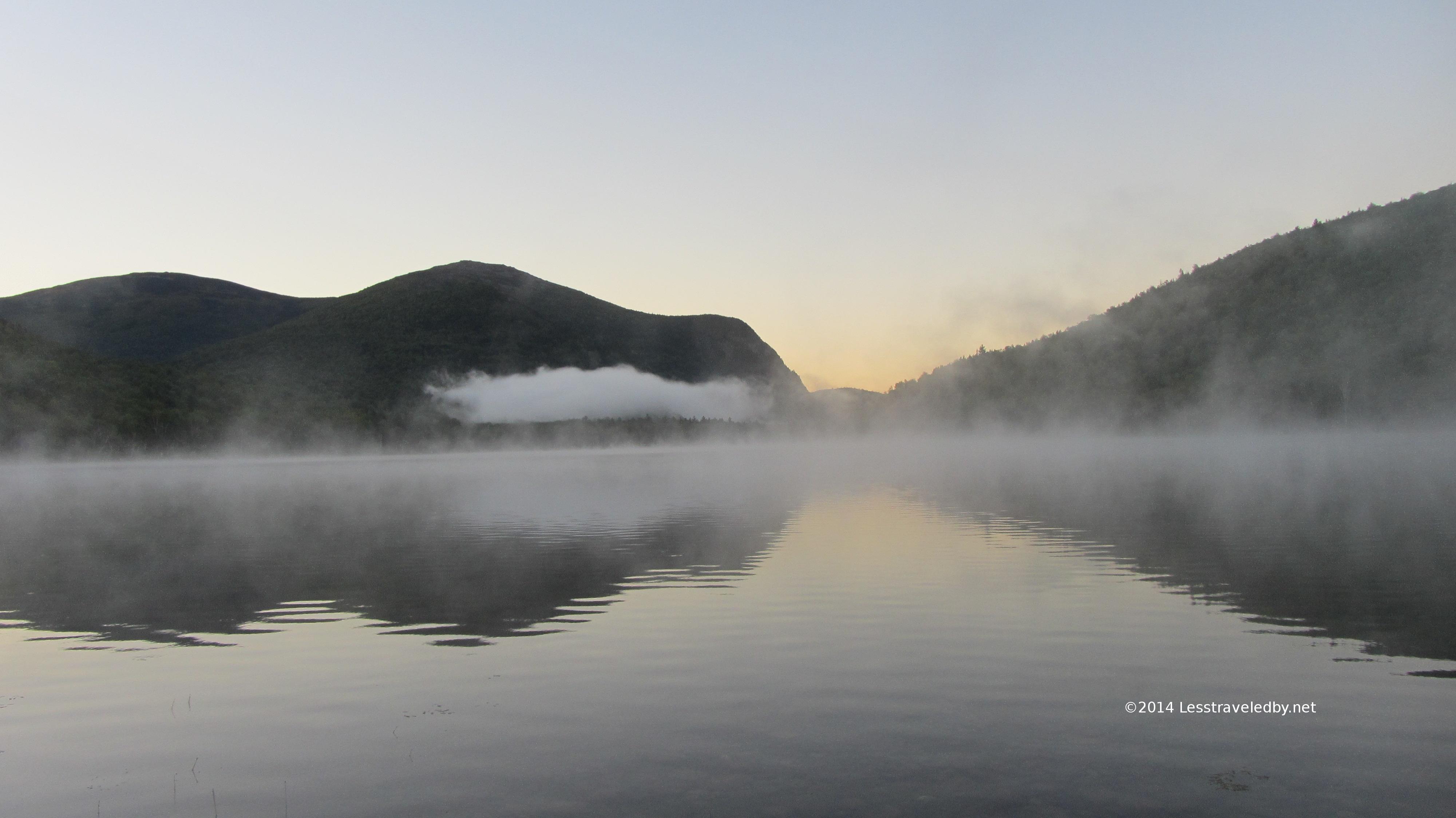
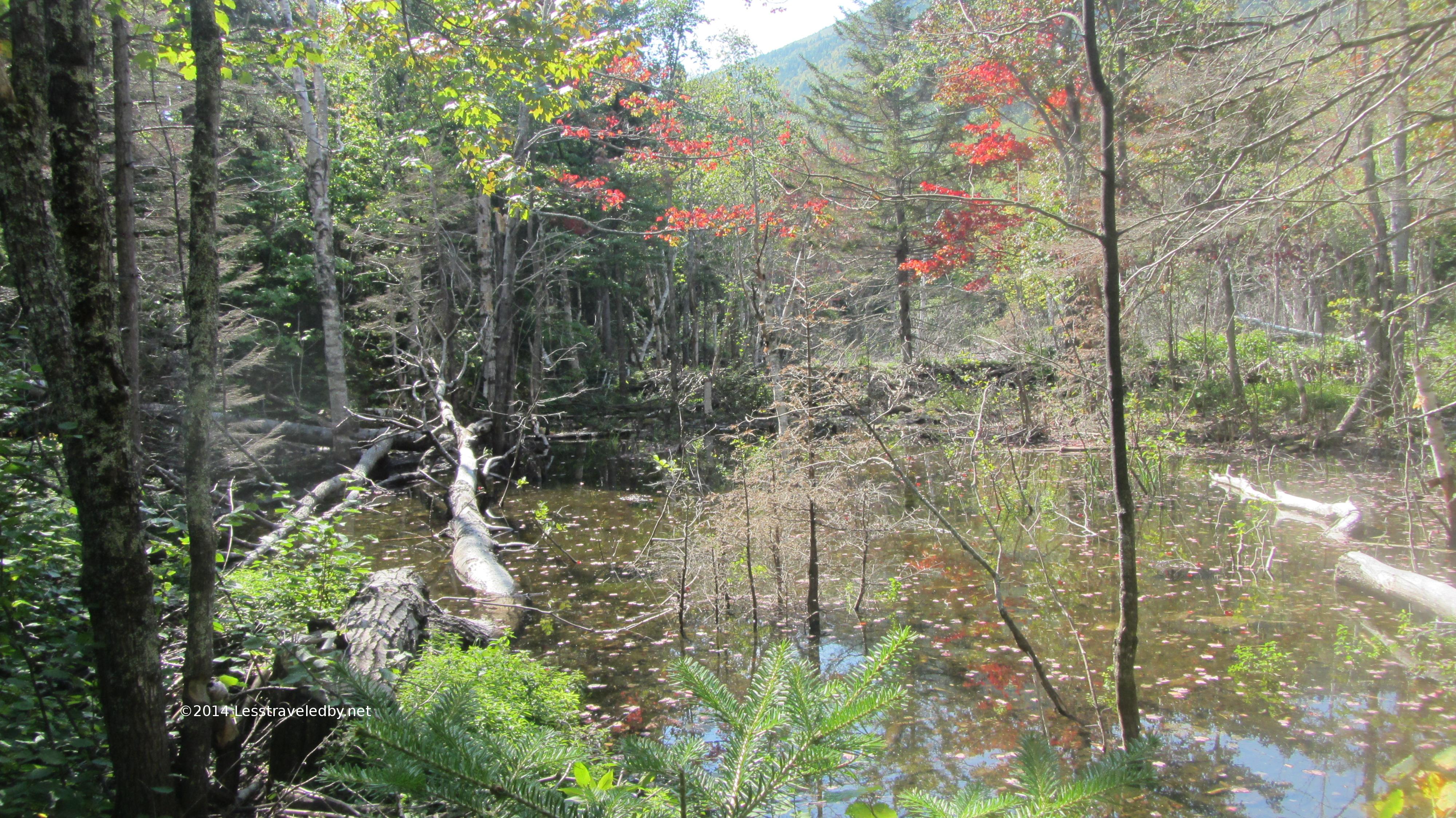 Found this wonderful sub alpine bog near the top of the notch between N Traveler and Barrel Ridge. Bogs at elevation always seem a little special.
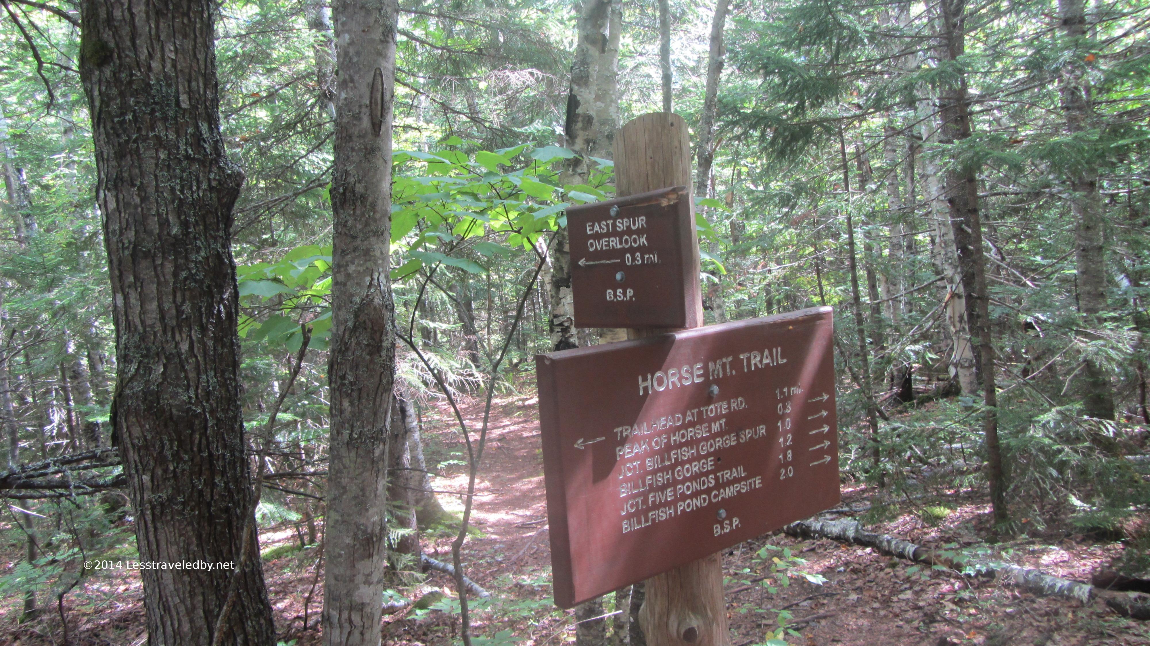
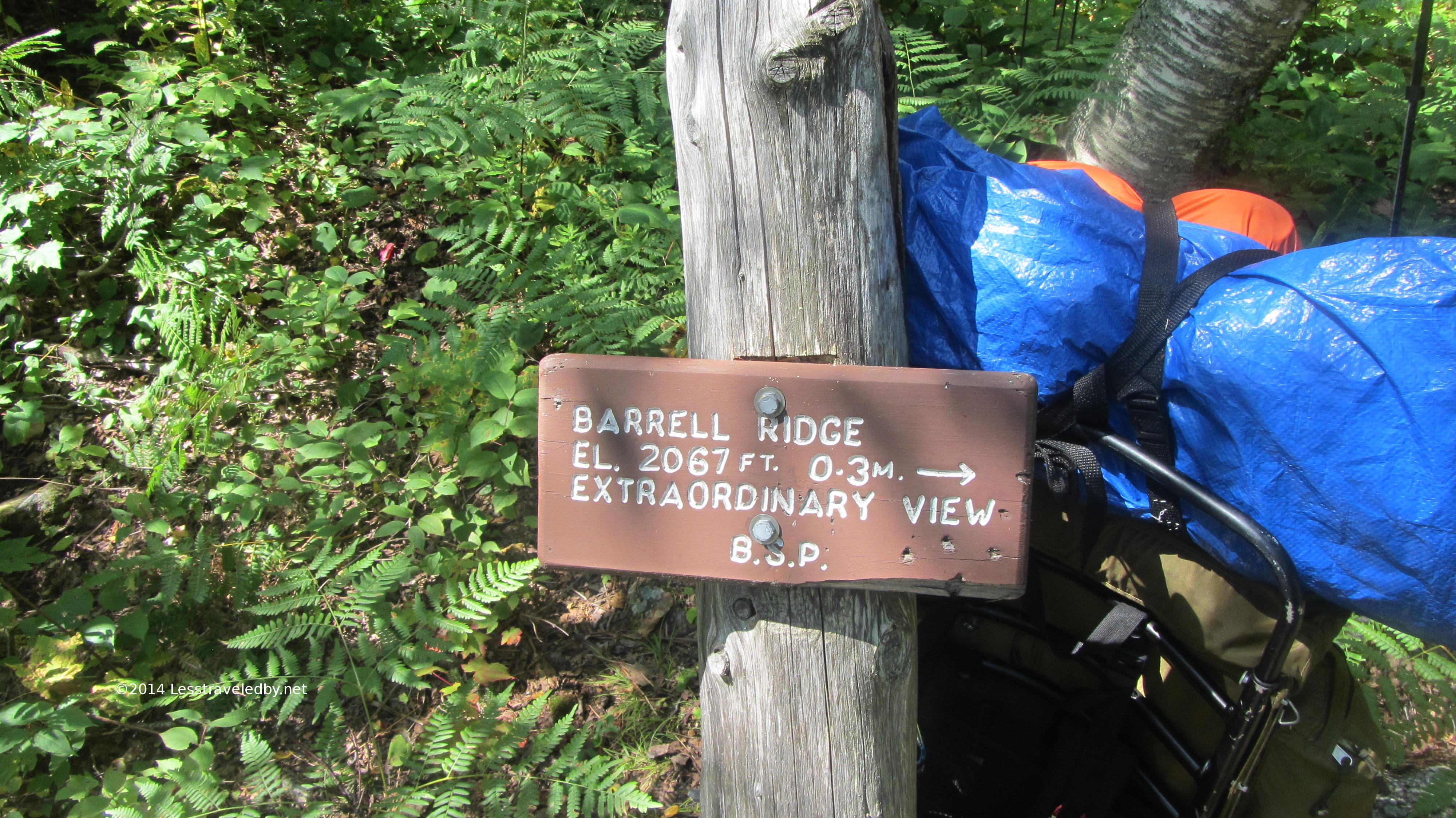 I stopped for some feeding and pondering at this sign. Things were really hot and steamy by late morning, but this sign was made to tempt hikers to the top. I poked my head around the corner to look and could tell that .3 miles was a serious climb. Conditions being what they were I had to leave this view on my to do list. In talking with rangers later they confirmed it is both a hard climb from this point and an extraordinary view.
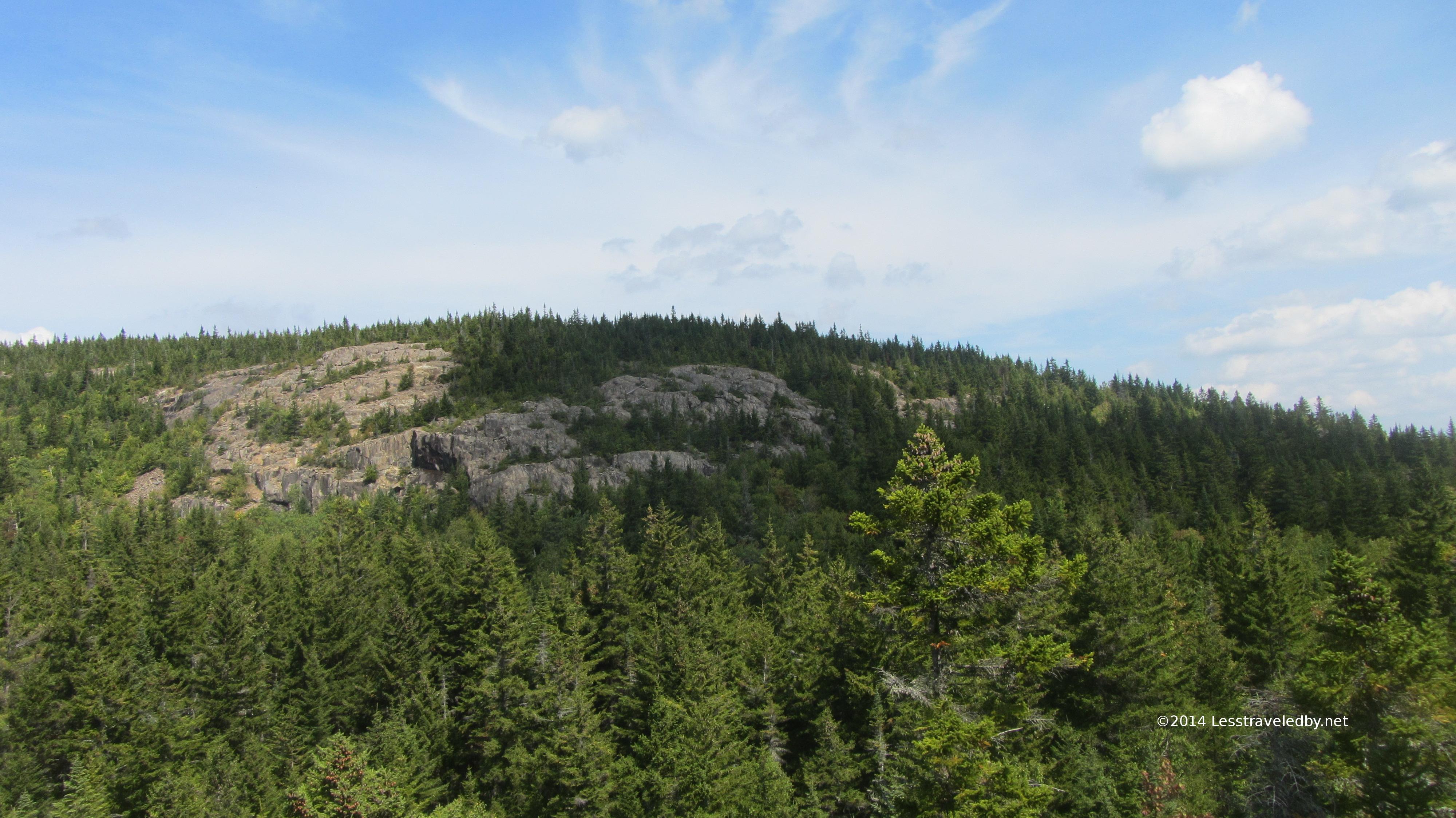 Looking up at the exposed southern side of Barrel Ridge
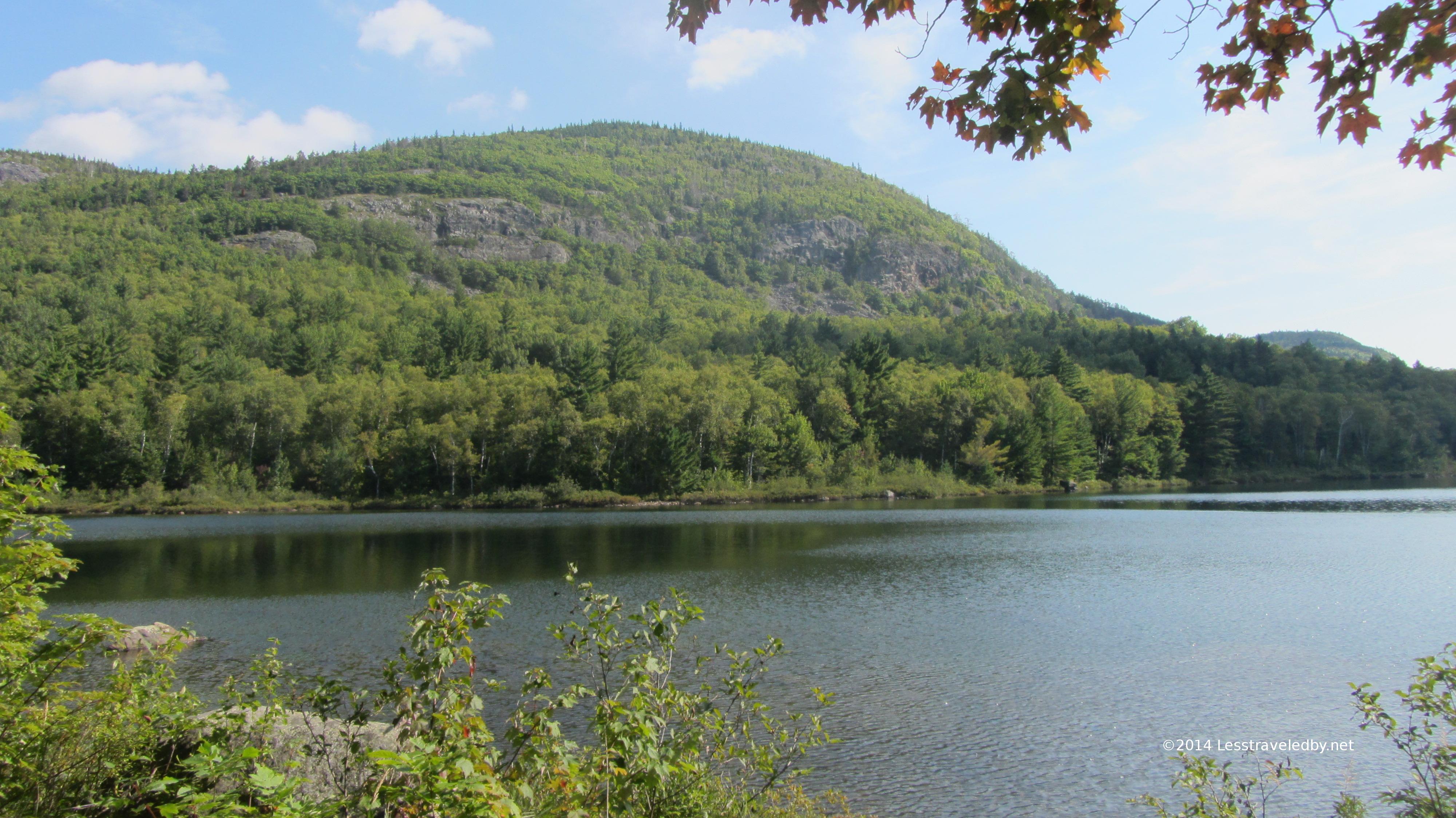
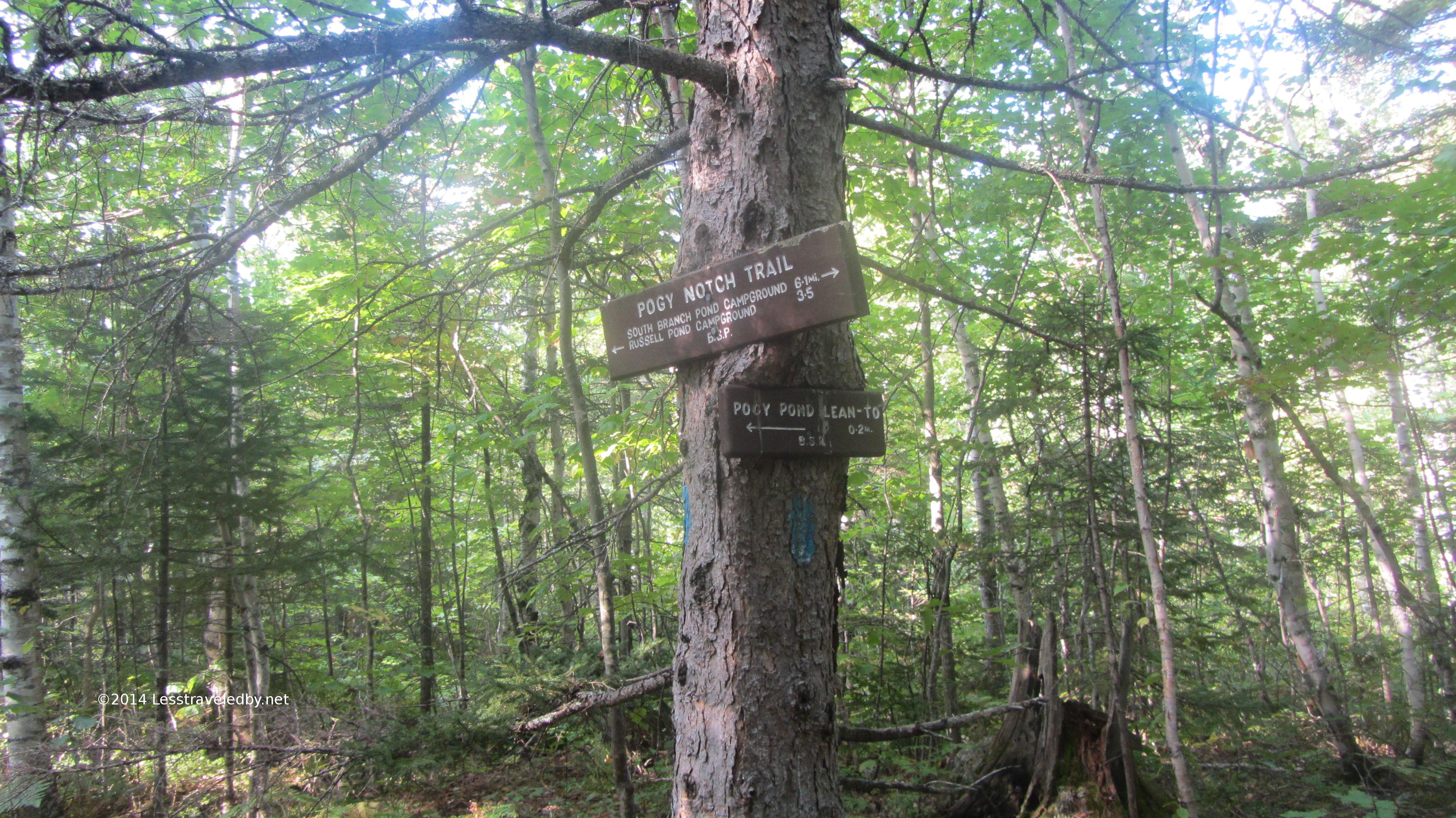
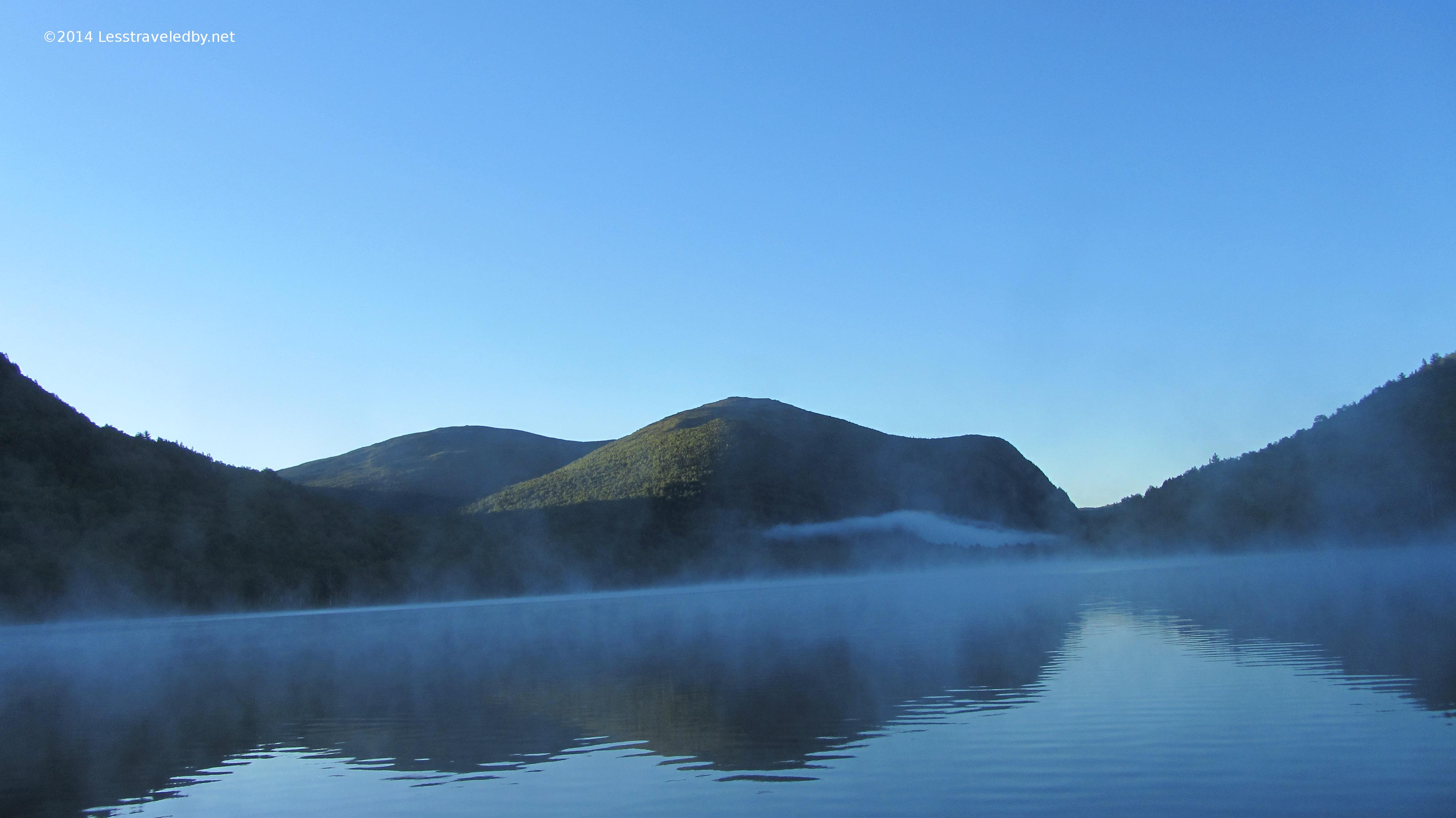
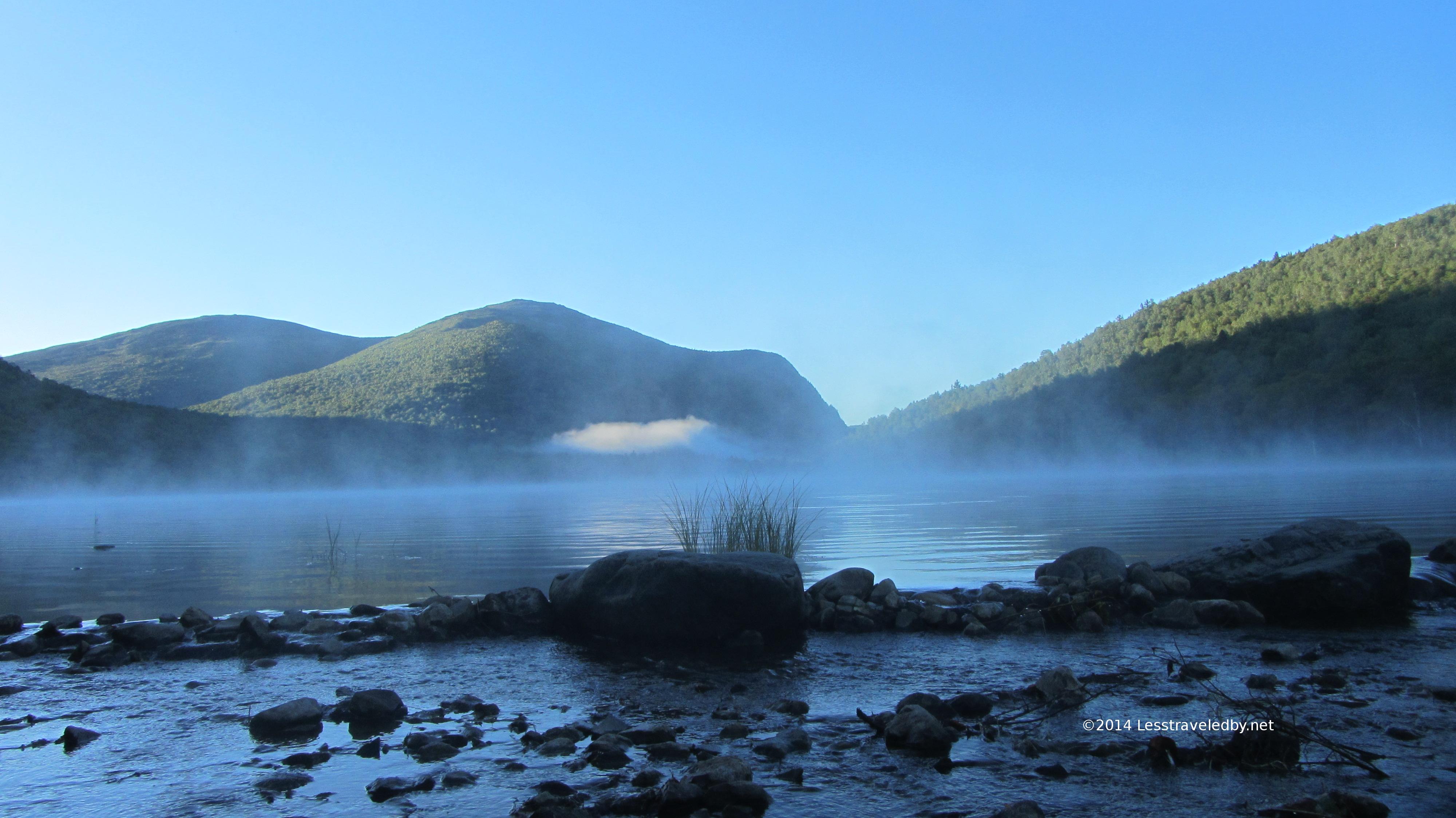
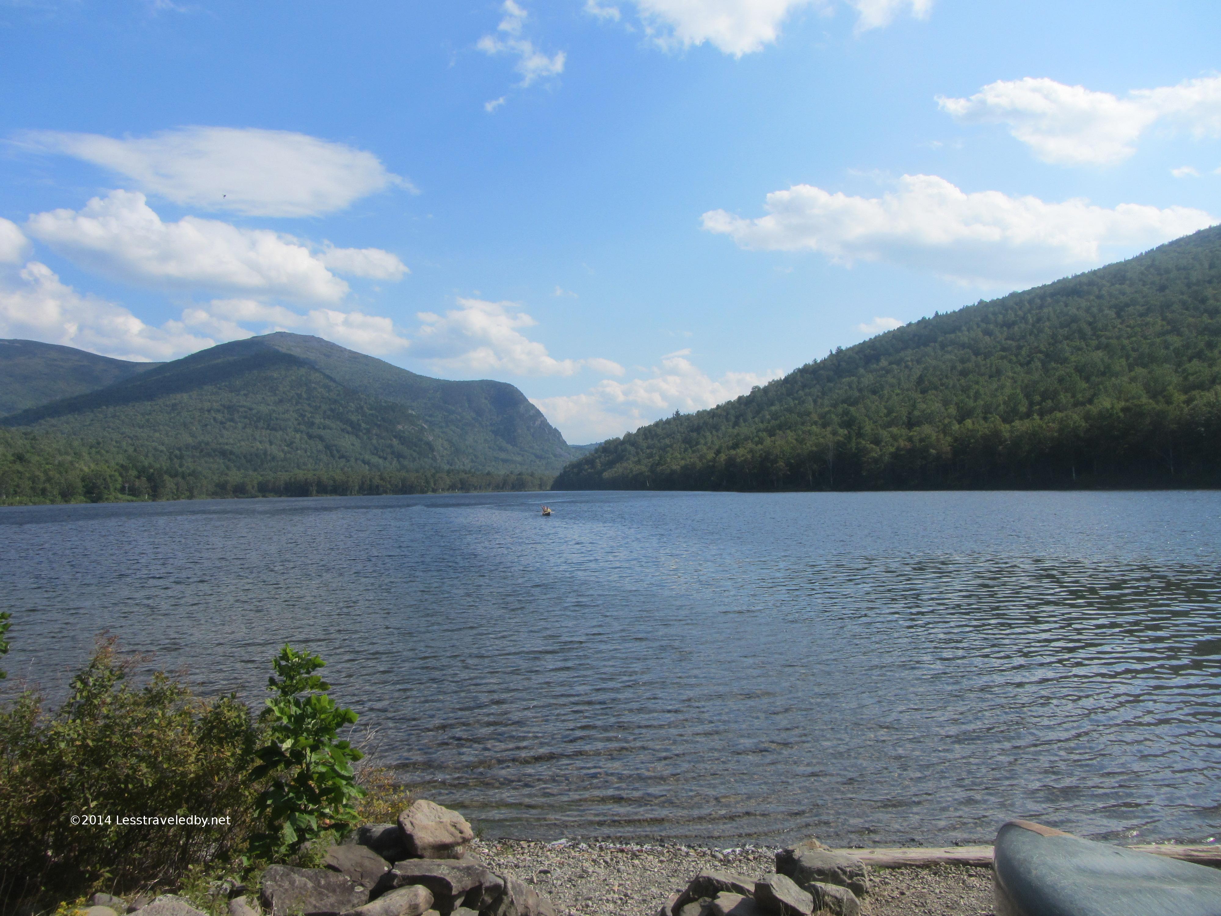 Looking across Upper S Branch Pond towards Pogey Notch.
I arrived at the South Branch Pond campground by 2p and while there was a bit of a breeze blowing across the lake the only way to describe the day was sweltering. By Maine standards and especially for September it was just way too hot. Temperature was in the low 90s and so was the humidity from the feel of it. I decided to be careful and spend an hour in the shade at the campground. I feasted on a variety of trail treats and filtered yet more water.
Leaving a little after 3p with an expectation of making the last 6 miles to my site at Pogey Pond before dark I was feeling pretty good. Knowing how the rest of this story turns out I can’t help but laugh at how naive that sounds.
I made pretty good time around the Lower S Branch Pond and met a very happy man at the intersection with the Howe Brook trail. He’d spent the day exploring the pools up and down the brook keeping cool all the while. His grin told me that adding this experience to my to do list was a necessity.
Shortly after that the trail seemed to dead end into the waters of Upper S Branch Pond. Confused I looked to my left and saw a giant slab of rock rising above me blocking the shoreline. I realized that I’d followed the portage trail instead of the one I needed and more importantly I was about to hit a very steep climb.
 Looking down at the upper pond from near the top of the slab. The air in the notch was still and hot which is the last thing I need while climbing. I remember making a point to really reduce my pace to avoid overheating and stopping for these pics was a great excuse to catch my breath.
 High above the pond I could tell the sun was headed for the far side of the notch, but with a long twilight I still expected to reach my site before dark. Again, with hindsight it is easy to see the warning signs, but I missed them at the time. My pace really slowed and I was taking more and more breaks. Thinking I’d soon reach camp I didn’t bother to keep eating and that did me in.
Darkness came and I was still on trail. Bonking hard, my stomach churning acid in futility but refusing to let me eat I had to admit I could no longer make out the trail. Dropping my pack I realized that not eating wasn’t my only mistake. That morning while breaking camp I did something I’d never done before; I left my headlamp inside my tent and at the time figuring it was not going to be a late day it didn’t matter. Thankfully I had my pop up camp lantern accessible though I had to hang it from a hiking pole and hold it aloft to keep from blinding myself.
Telling the story later to a ranger he described my progress as hobbit-like as I followed my bouncing lantern through the darkness. I finally reached the site at Pogey Pond around 9p and set about attempting to recover. I made Gatorade, I made soup but little wanted to stay down. Knowing the next day was short miles helped, but I also knew a major line of storms was expected and I needed to get down from the notch I was in as early as possible.
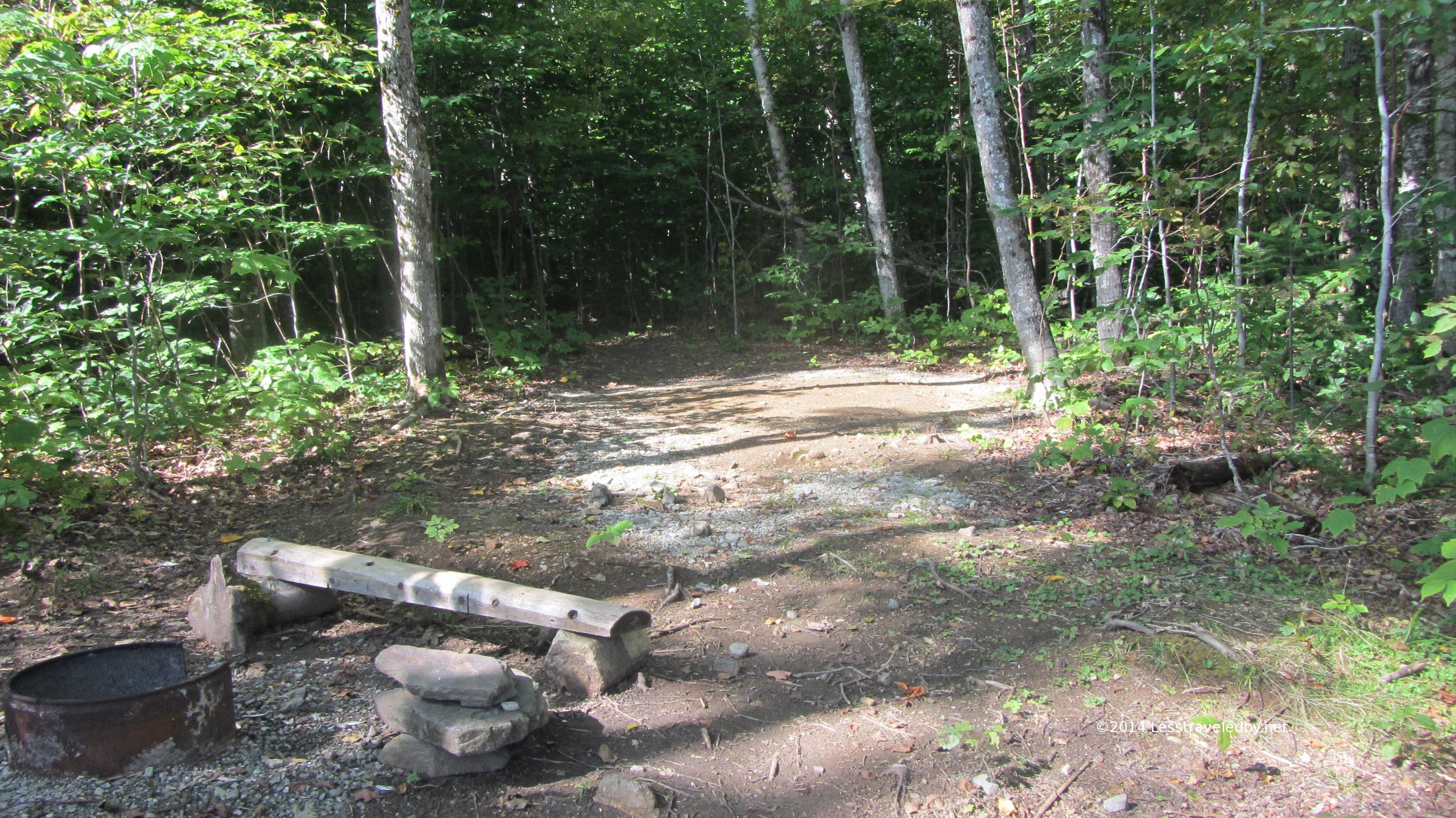
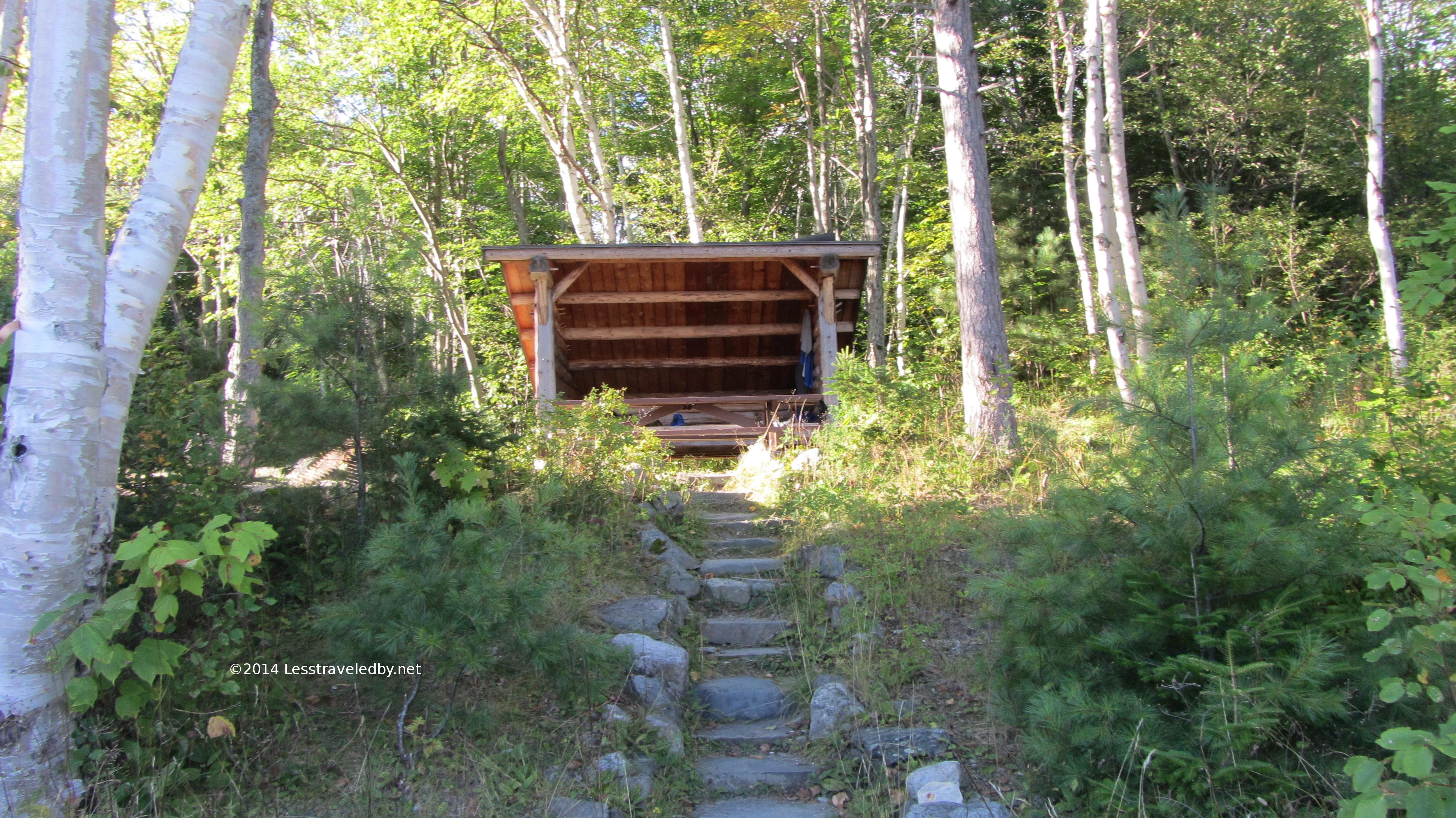
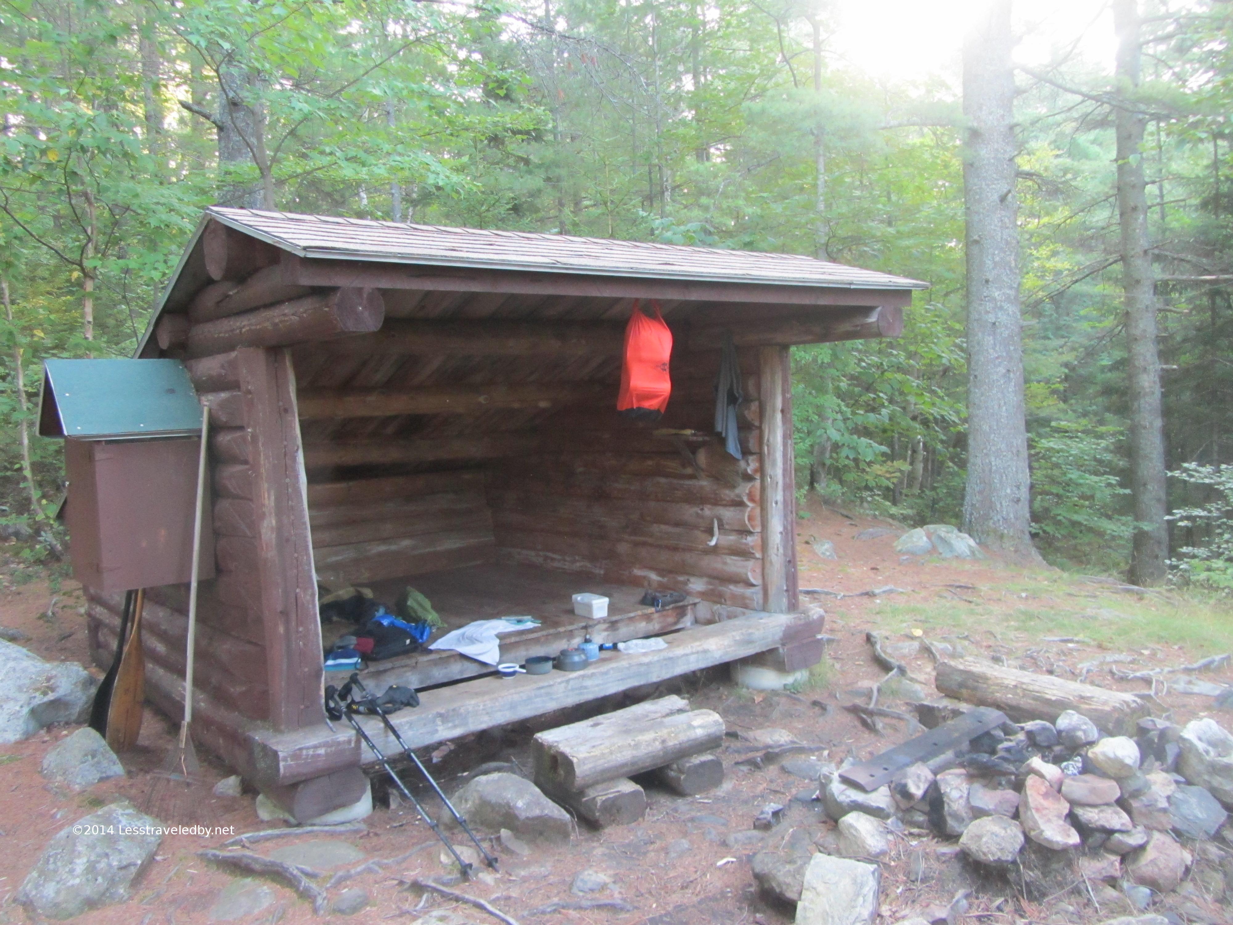 The lean to at Pogey was on the small side for a party of 4, but plenty of room for me. There were several grills and a cast iron frying pan hanging on the wall which leads me to think there might be some fish in this pond. It has to be terribly buggy earlier in the year, but I would like to spend a couple nights here in the future.
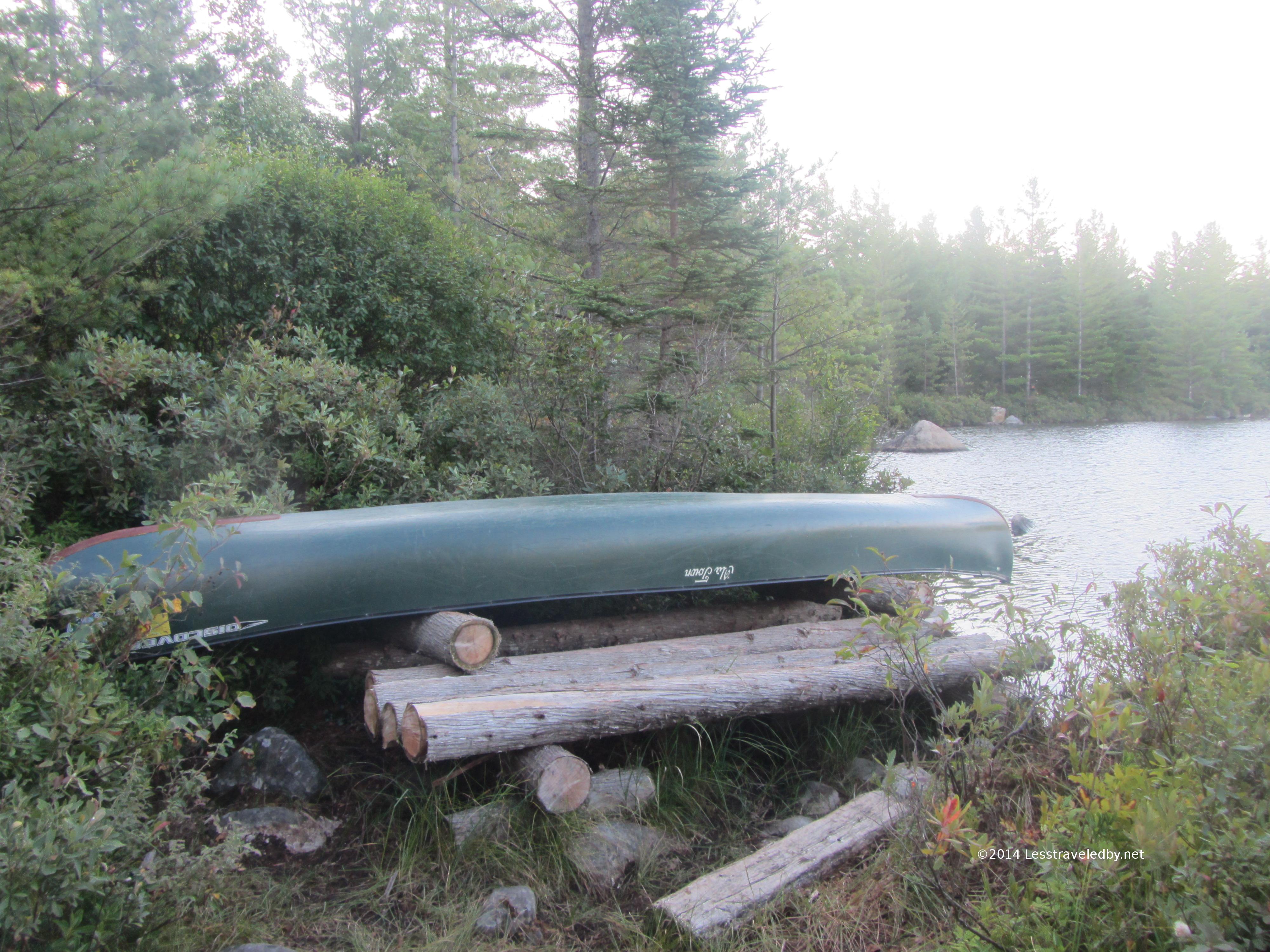 Pretty short toss to get the canoe into the pond from here.
 The day started out hot and muggy again. If not for the approaching storm I would have stayed but I knew I had a deep water crossing ahead and didn’t want to risk it getting too deep with runoff. The next day called for a 17+ mile day so I couldn’t afford to get caught on the wrong side of that crossing.
By the time I made the 4 miles to Russell Pond camp my priorities had been reassessed and changed heh. My stomach was still very angry and without lots of food recovery wasn’t going to happen. The idea of doing big miles the following day became entirely unrealistic. Doing the math on food supplies and trail I made the call to stop at Russell and unless things vastly improved overnight I’d head back north through the park the following day.
The ranger there was able to change my booking for a nice lean to right on the pond and I spent the afternoon working my way up the food chain. Starting small and ending with a full dinner I rode out what turned out not to be such a big storm and got a good nights rest.
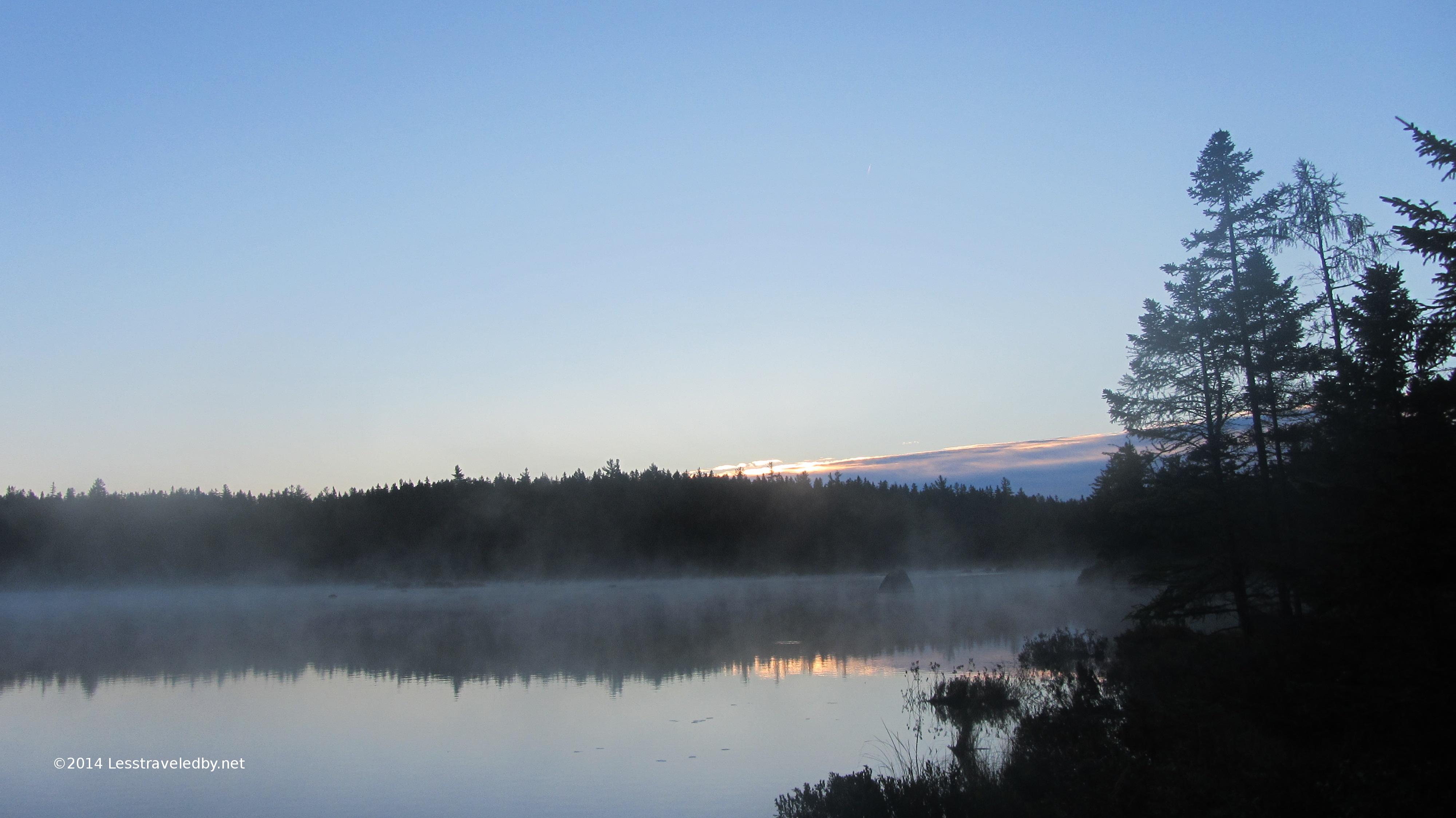 Just before dawn at Russell Pond
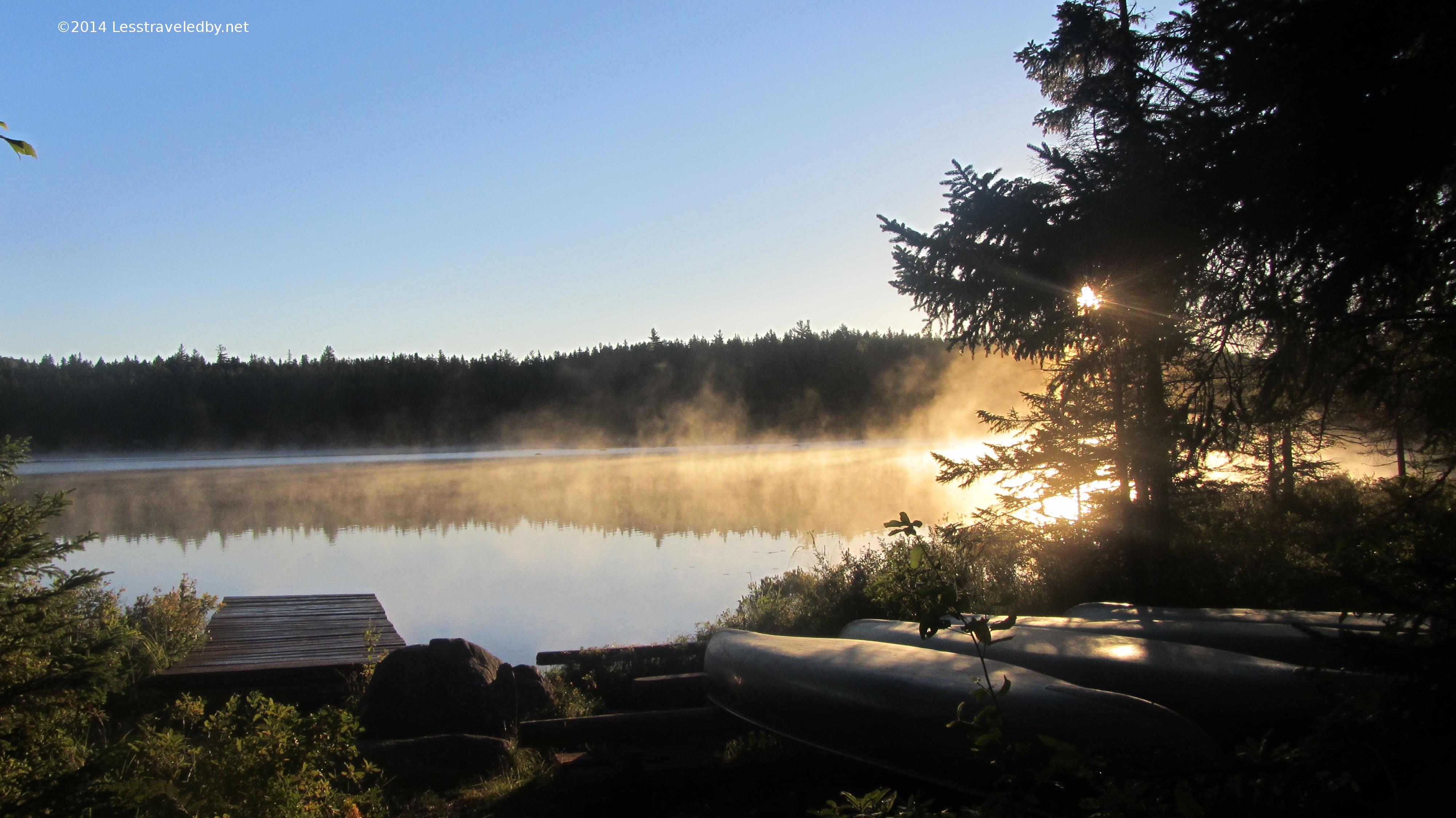
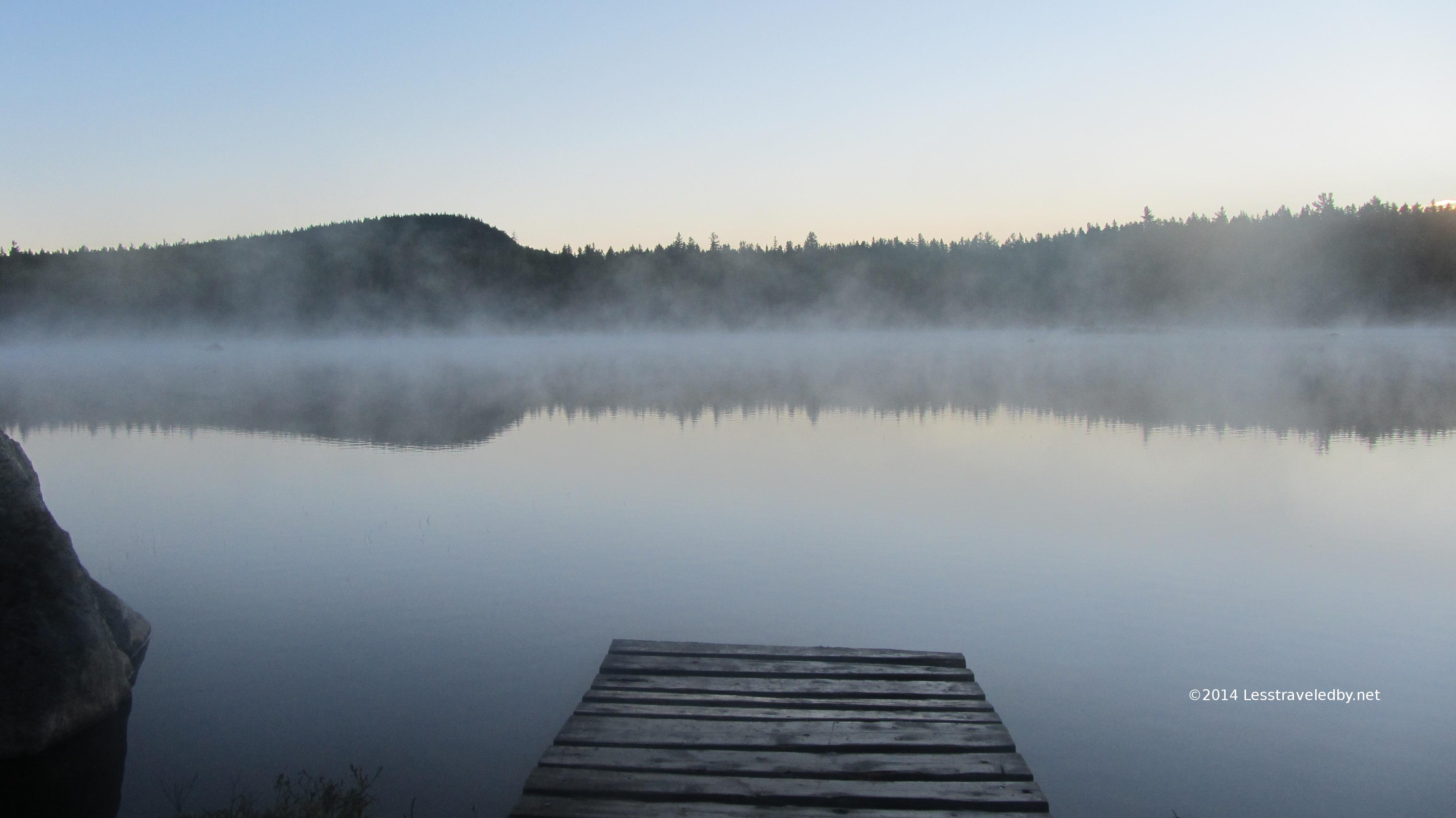 Steamy morning at the Russell Pond canoe dock
 My decision to go back the way I’d come confirmed I had time to enjoy the sunrise over the pond.
 The long bog board bridge headed up towards the ranger cabin at Russell Pond
The ranger at Russell and I go back quite a few years. Not sure if he remembers me since he deals with so many folks, but I look forward to seeing him every year. Since I missed him on my July trip through this area I was glad he was on duty this trip. He used his radio to get me a reservation back at the South Branch campground for that night and I was on my way.
The 10 miles or so went pretty fast, but by the time I reached the campground I was glad I hadn’t tried to stick to my original plan. There is a big difference between a 10 mile day and a 17 mile day!
 This is the view of my lean to from the pond

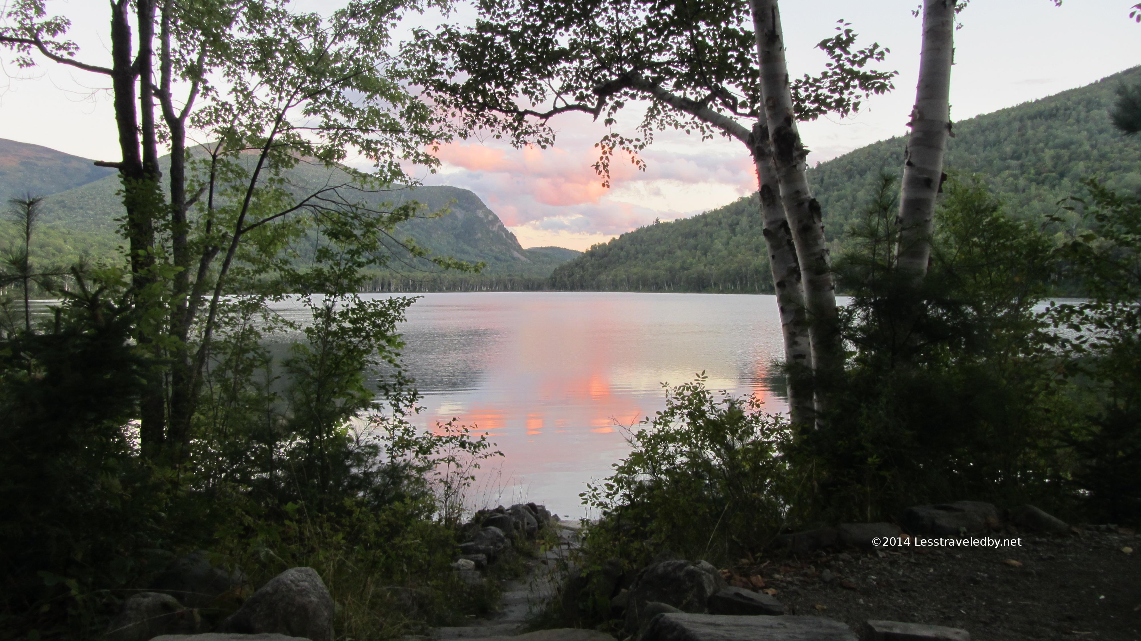
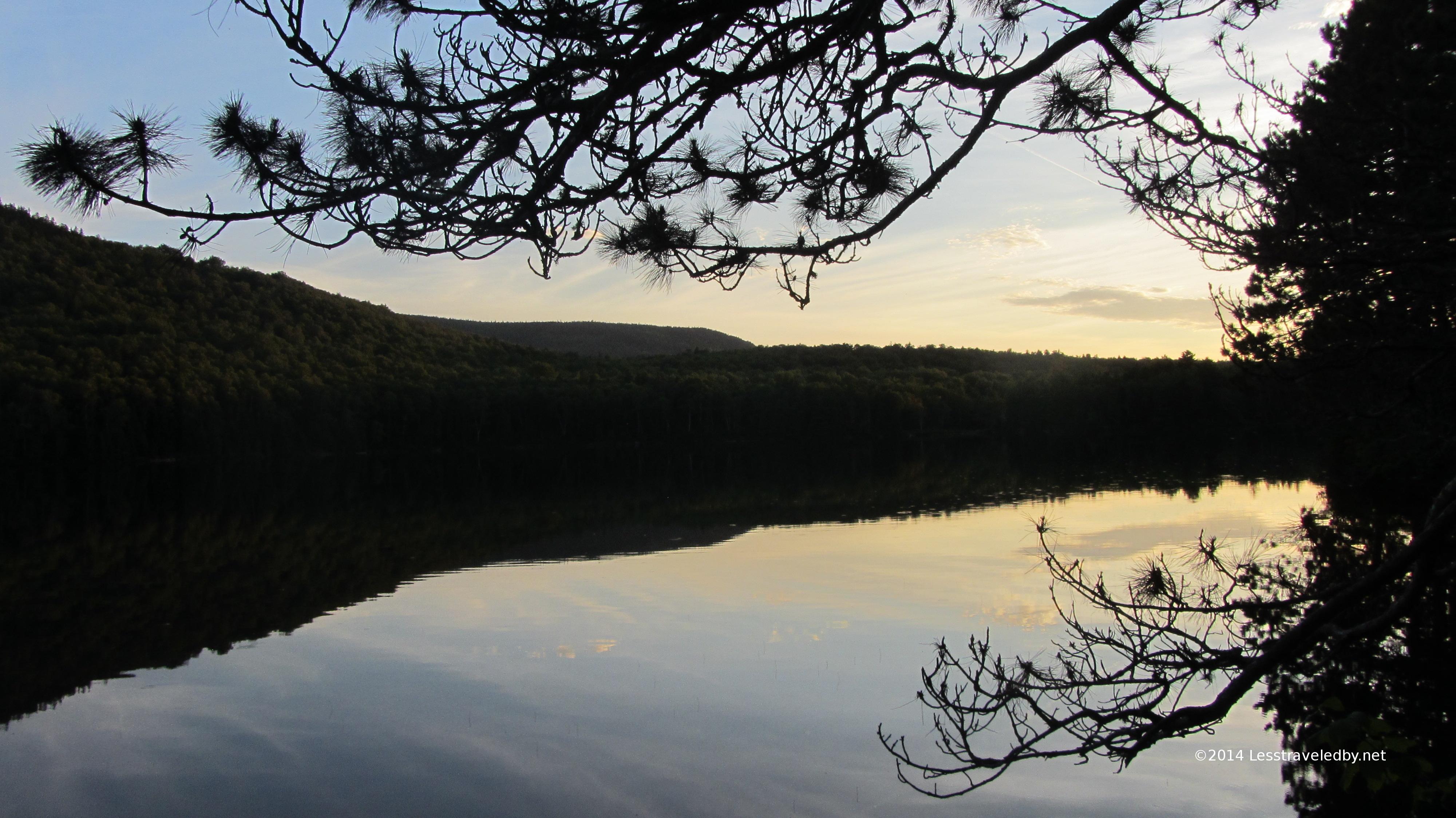
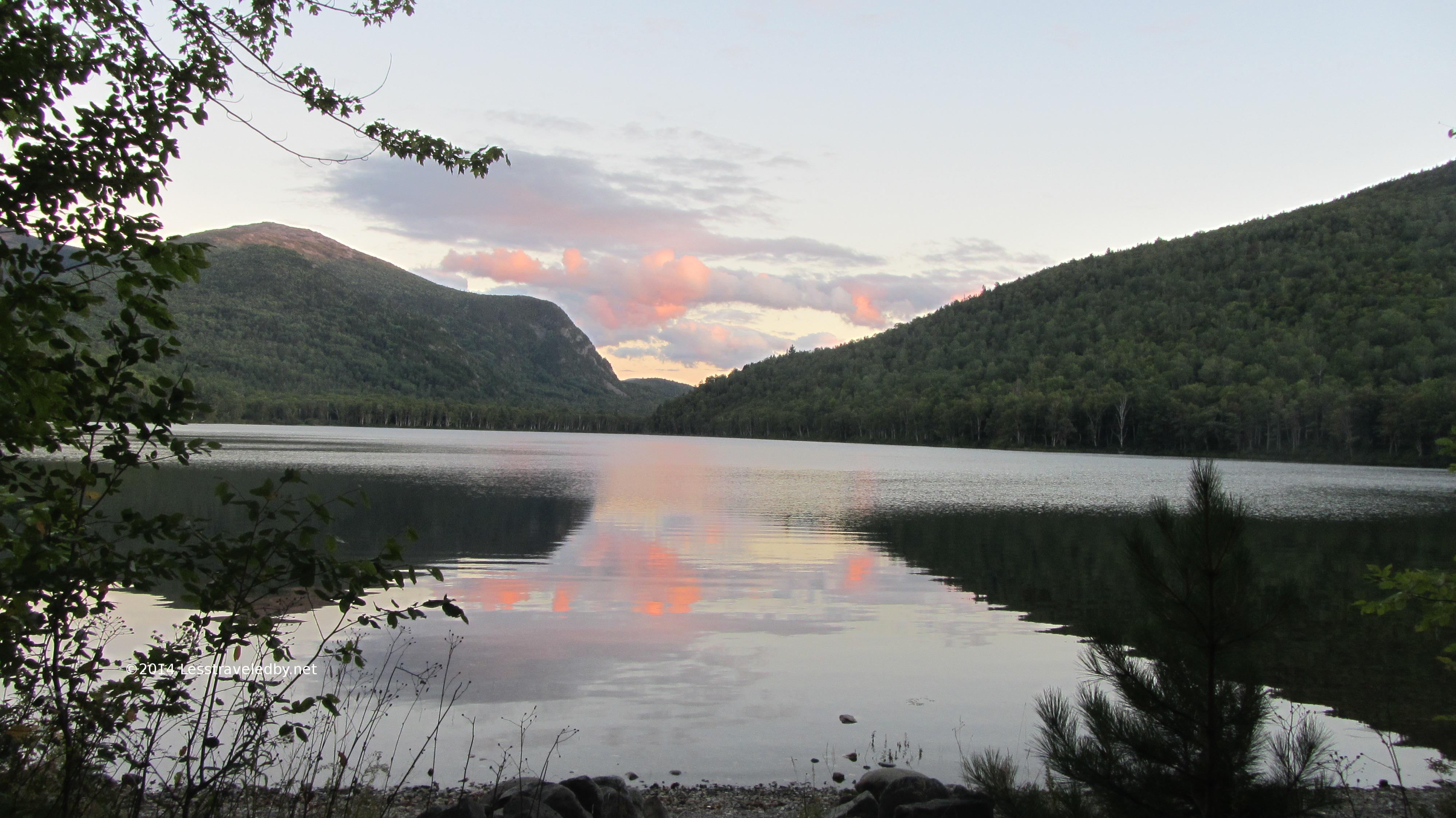 Sunset series from the lean to
 Sunrise series from around Lower S Branch
Just three nights after almost steaming to death this last night was in the mid 30s. Much more expected for September in Maine and much more appreciated. The cool air made for a different sort of steam as the sun came up.
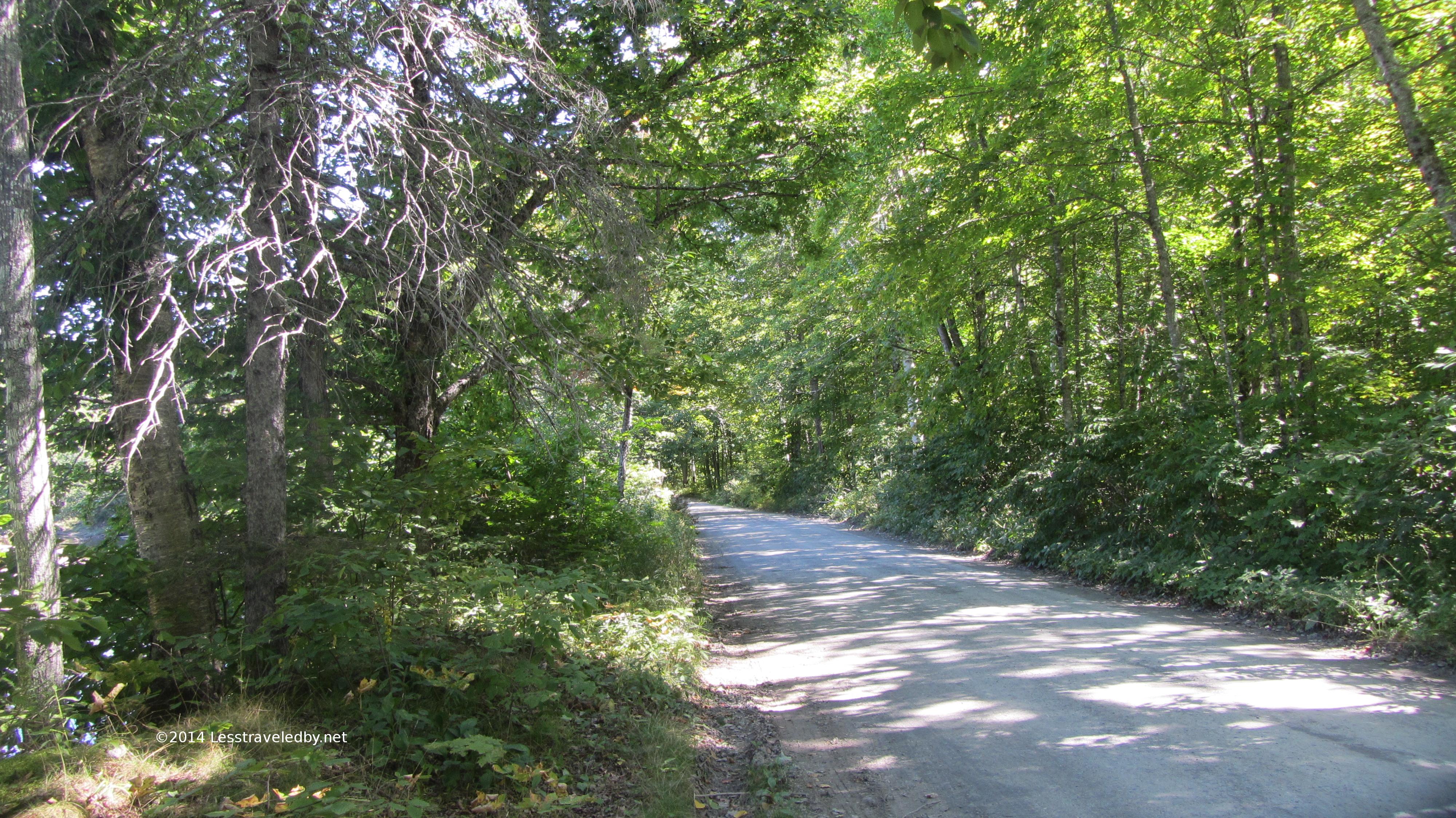 The road walk was a bit longer heading out this way, but the last few miles were along Trout Brook so quite pretty.
I was able to exchange my unused parking time for a giant ice cream cone back at the campground where I’d parked so even though I cut the trip short I can’t complain too much. Of course surviving to tell the tale was also appreciated.
Looking back on the day when things went wrong it is easy to see the mistakes, like the headlamp in the wrong spot and the not forcing myself to eat while I still could. Lessons to be remembered and hopefully learned from, but there were good points too. Despite bonking hard I kept my wits enough to make it to camp when there were ample opportunities to panic in the dark. The big effort I made at staying hydrated that day also helped so when things got rough I wasn’t already two quarts low. Making the choice to turn back rather than push on was also probably a really good idea.
So since I survived it was an adventure not a failure! Some great pics, some great memories and a chance to push some limits and survive. Even the bad days are pretty good on the path less traveled by
