

50 pics and some babbling from an early June adventure to the Caribou Speckled Wilderness in Western Maine. I’m mostly making YouTube videos these days, but this many pretty pictures deserved a post here too I thought!
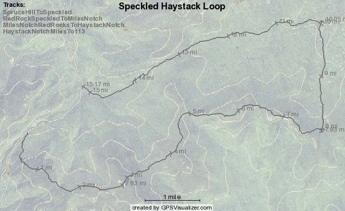
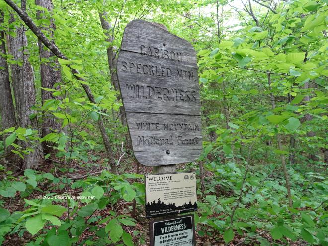
Being trapped in Maine I’ve had to get more creative in planning my trips rather than wandering all over New England as usual. While we have done a family day hike of Blueberry Mtn and I enjoyed a fabulous Baldface Circle/Wild River loop a few years back, I’d never explored the Caribou Speckled Wilderness. Some research led me to put together this loop, with the open section a road walk on Hwy 113.
The plan was a relaxing two nights to cover about 15 miles of wilderness with a 1.5 mile road walk on one end. I’d wanted to make the second night the big summit night, but weather suggested I go the other way. That meant a short hike up to Speckled via Spruce Hill Tr. on day one so I got a late start, arriving at the East Royce Tr lot about noon.
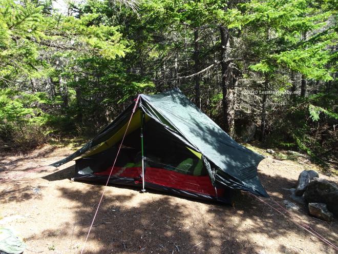
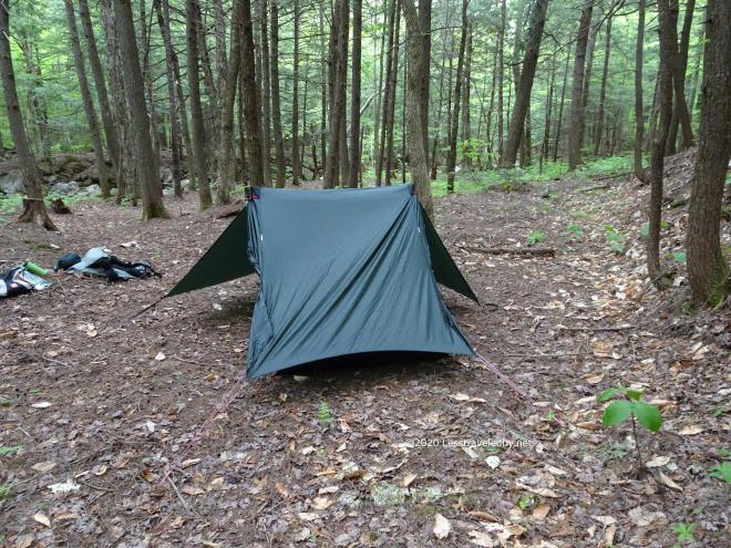
A pretty quick stomp later found me setting up camp in the short trees just below the summit. I’ll be posting video later of this part of the hike, but the first pics I took were on top of the mountain.
Speaking of which… here come the pics!

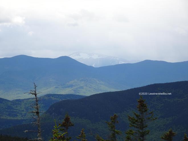

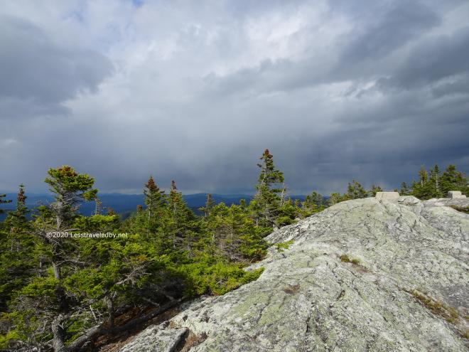
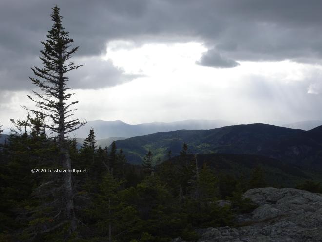


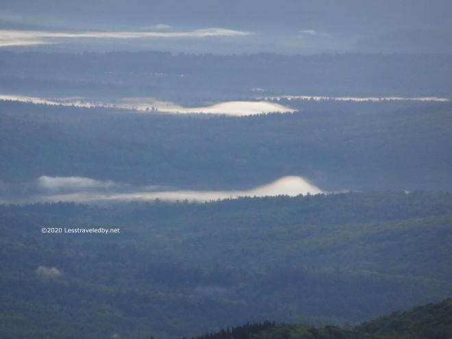
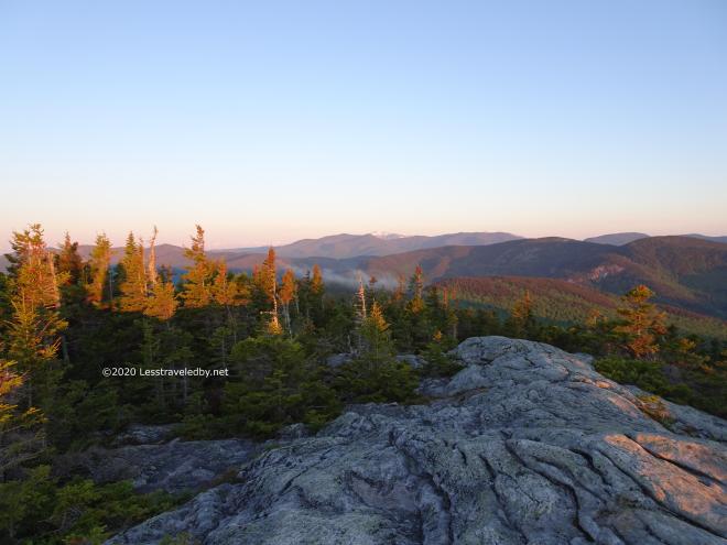
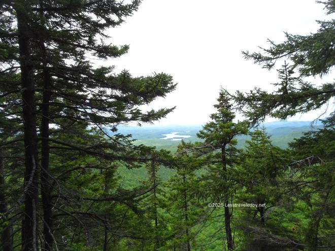
This was supposed to be my good weather day, but as the afternoon wore on there was wind and sleet. I could see sunshine down in the valleys in the distance, but it was dark and cold on the summit. I wondered why no one else had come to camp, though I did meet one nice day hiker up there.
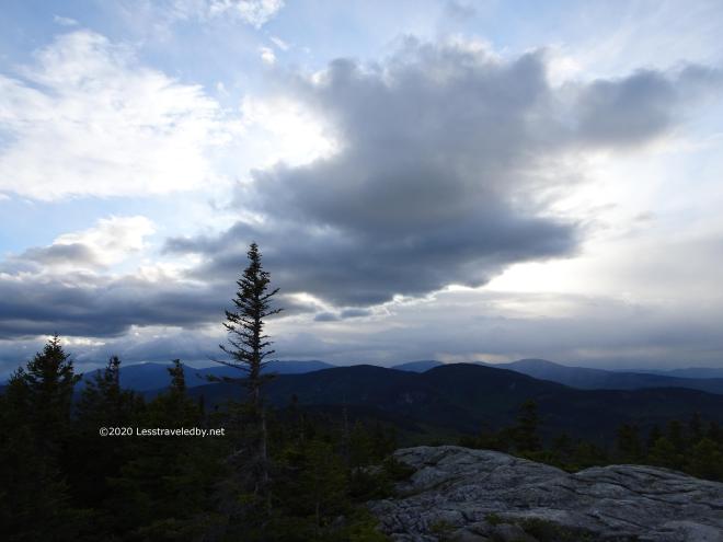

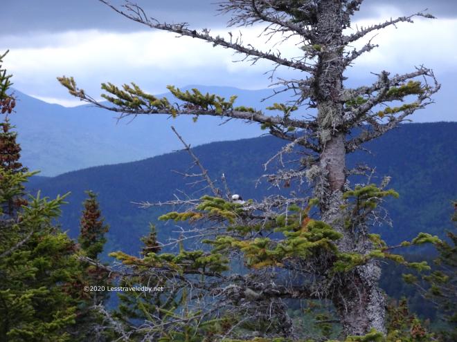
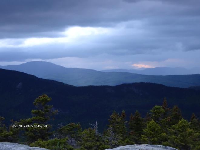
Given the dark skies and threat of frostbite I gave up on getting sunset pictures and retired to camp for dinner and bed. There was a plan to get up early for sunrise, though I had my doubts looking at the skies.
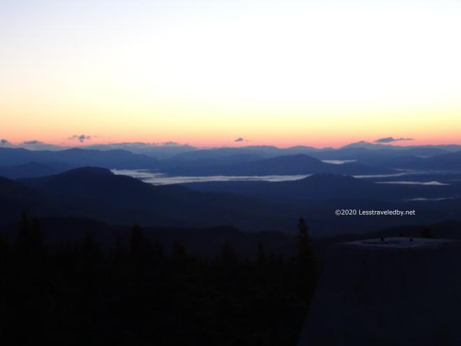

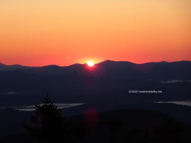


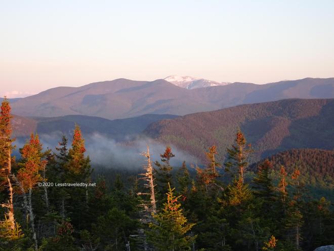

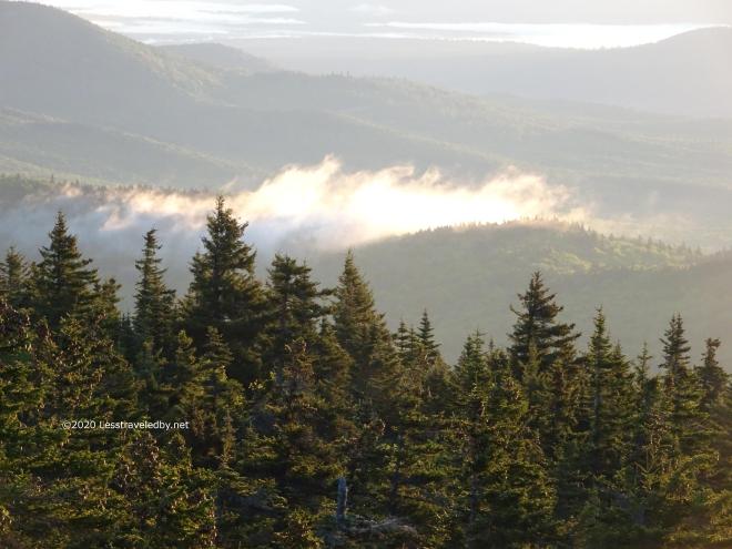
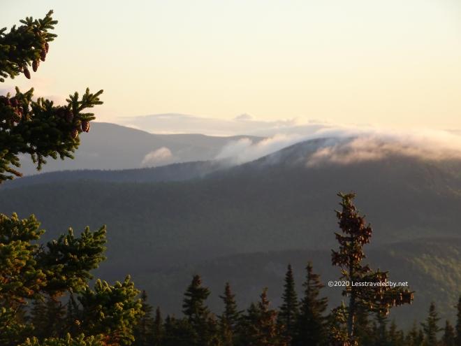
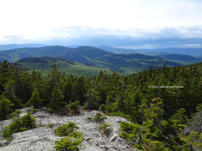
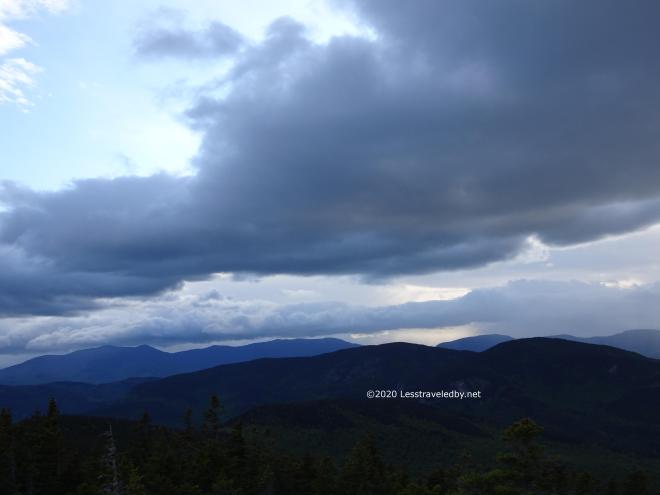
It was definitely worth getting out of bed for, though it was cold enough that I brought my quilt with me to the summit. It said 36°f on the thermometer in camp and the breeze on the summit had some bite to it.
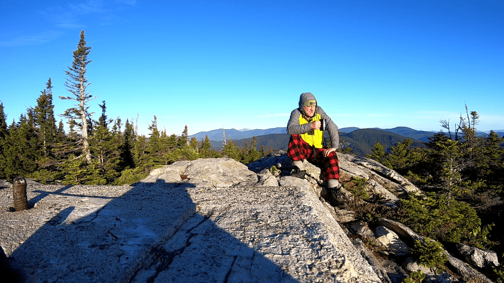
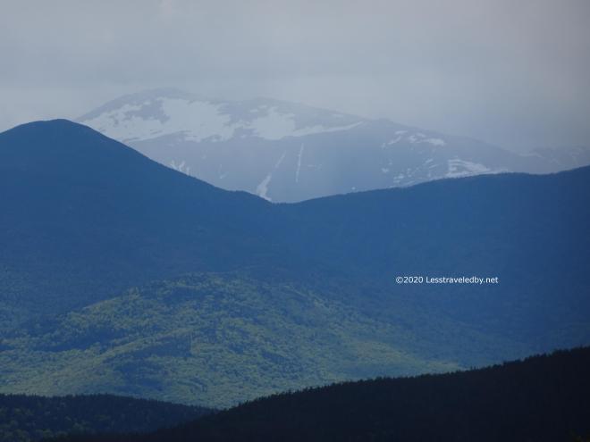
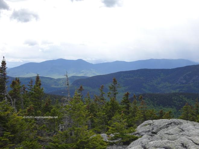
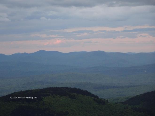
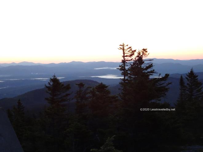
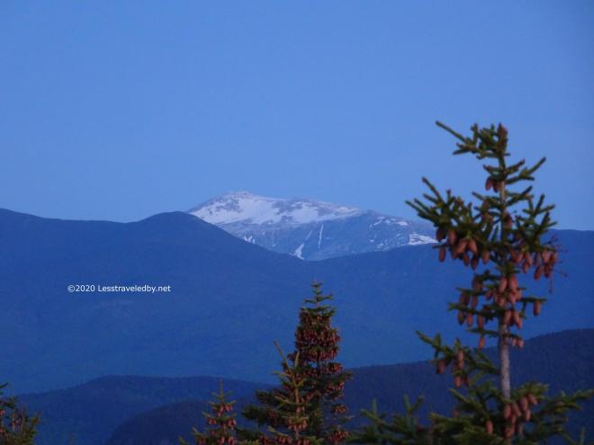
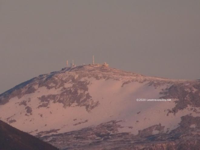
I pulled this pic from my morning coffee video 🙂 You can just make out the top of Mt Washington over the ridge behind me. It was a little warmer now so I wasn’t wearing my quilt, but I can see from the look on my face that it wasn’t exactly warm up there heh.
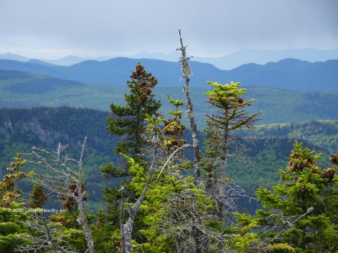
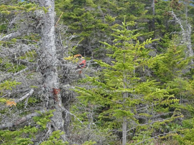
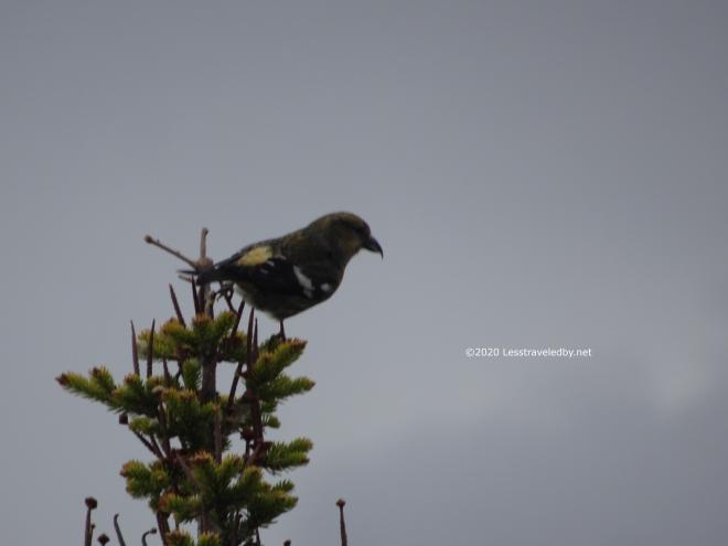
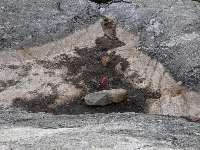
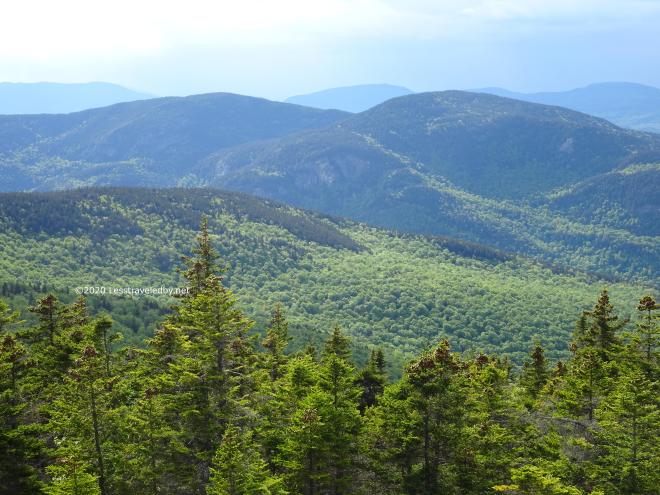
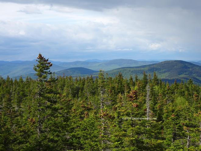
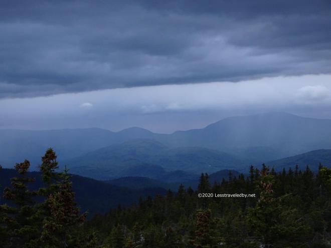
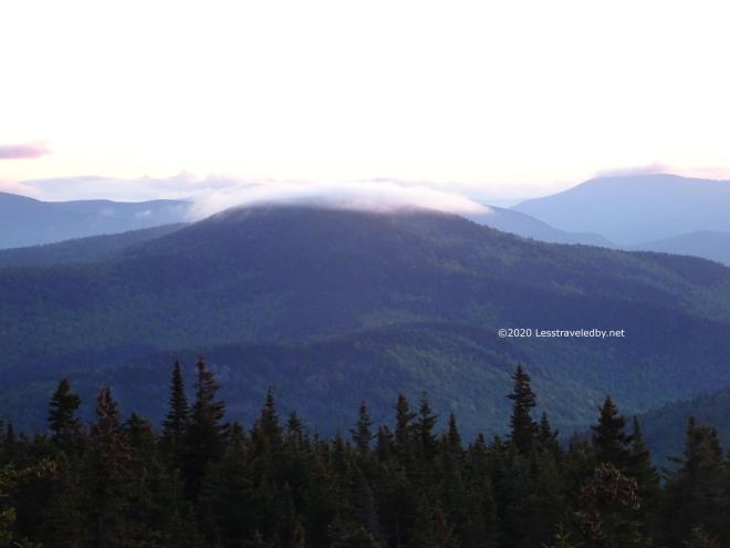
Then it was time to head into the less traveled part of the wilderness. I had no clue where I was going, never having been here before. It was fun to have that sense of adventure that comes from not knowing what comes next.
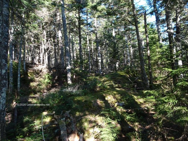


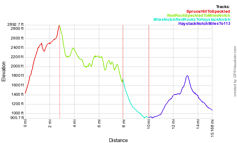
The Red Rocks Trail was a steady series of rolling ups and downs as it traversed several mountains before finally reaching its namesake, Red Rock Mtn and then rolling down towards Miles Notch. I say rolling because despite dropping down it managed to go up hill more than a few times too.
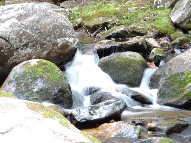
The Miles Notch trail follows a brook for most of its length. There were a series of small crossings, easy rock hops at current levels. There also were an amazing number of bugs. There were enough black flies I had to put on my headnet for a while at times, despite the humid heat of the afternoon. There also were enough skeeters that I had to break out the picaridin, which almost never happens since I’ve begun treating my clothes with permethrin. Just a small squirt on the back of the hands and the back of the elbows did the trick.
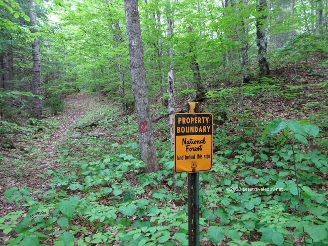
There was some logging at the end of Miles Notch a while back, but I was able to follow the trail well enough to find the forest again. Once I reached the WMNF boundary I made camp for the night and enjoyed a little rain on the roof.
There are no pics from the rest of the trip I’m afraid. Haystack Notch Trail was an adventure like no other I’ve had before. It disappeared at times completely, with no trace of where it might have gone. Resorting to GPS I was able to relocate it, though even that was challenging at times. Somewhere in there I got turned around and found that the trail is much easier to follow heading in the other direction. I was making really good time until I realized that I was walking past where I’d camped the night before 🙂
Look for a video in a few days that tells the story more fully. This post was mostly about sharing all of those pretty pictures. This really was a great trip, despite getting lost in the wilderness heh. If you go this way I highly suggest coming armed with a GPS and a good .gpx track. A compass came in handy at times as well because phone compasses often seem to have no clue where they are pointing when you’re in the mountains. That is how I managed to get turned around even while looking at the GPS 🙂
Hope you are able to get out somewhere despite all the troubles in the world. Nature can be a soothing respite, though you may prefer smaller doses unless you appreciate getting lost in the wilderness as much as I do!
