
41 pics and some babbling from a three night, 38 mile loop in far western Maine. Grafton Notch has been my “white whale” for a few years now. Despite making an annual effort I had never actually gone all the way around. That darn highway in the notch makes it too easy to cut down the middle when weather or lack of spirit tempted me to give up. I’d started to joke about it being a place where dreams go to die after last year’s issue with the motorcycle tire killing off my LT hopes. Still, I had to return and make the effort to at least try. Anything else would be putting one foot in the grave and giving up on life…
Day One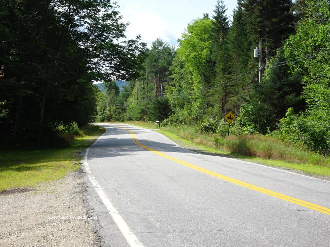 The road walk to start of about half a mile to where you pick up a snowmobile trail that leads to the real trail a mile or so in flew by this time. My pack felt light and so did my feet.
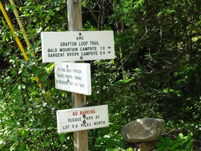 There are no big signs for the trail along the highway, but on foot these are easy enough to spot. They mark the field gate you need to walk around before following the snowmobile/GLT signs through the private property.
 Crossing Bear River via the snowmobile bridge it was good to see some water. Western Maine wasn’t in as much of a drought as we were at home towards the coast and this wasn’t looking bad for August.
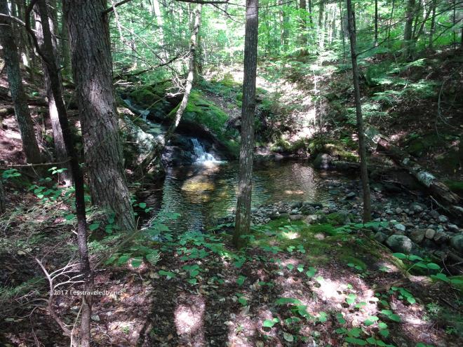 The small flows at the base of Bald Mtn were still running. Also a good sign that water wouldn’t be too much of an issue on this trip. Sounded nice too 🙂
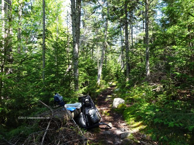 Lunch break after climbing over the first mountain of the day. A little time with the pack off and some cheese in my mouth had me ready to hit the climbs I knew were coming up next.
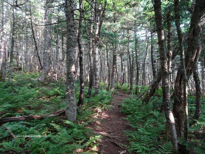
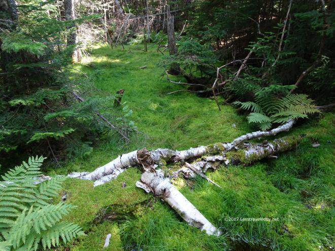 Mossy glen in the col before heading up towards Sunday River Whitecap.
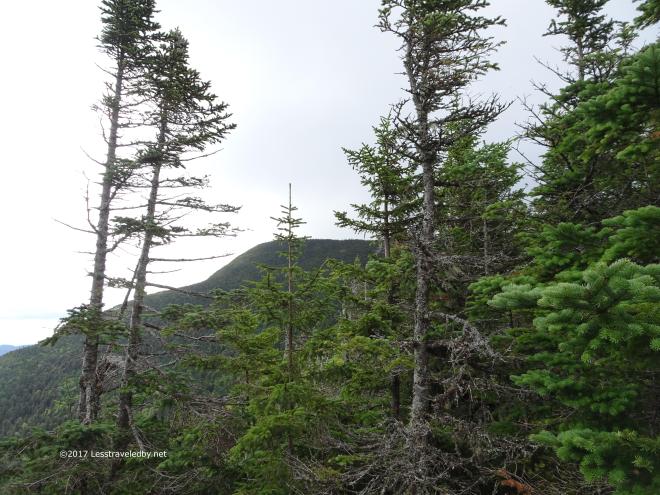
 Closing in on the tree line you can start to see more sky between them. It gives you hope!
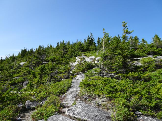 Then this!
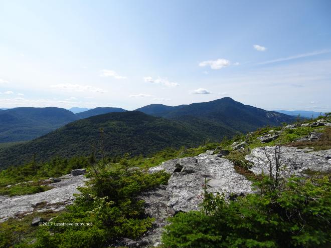
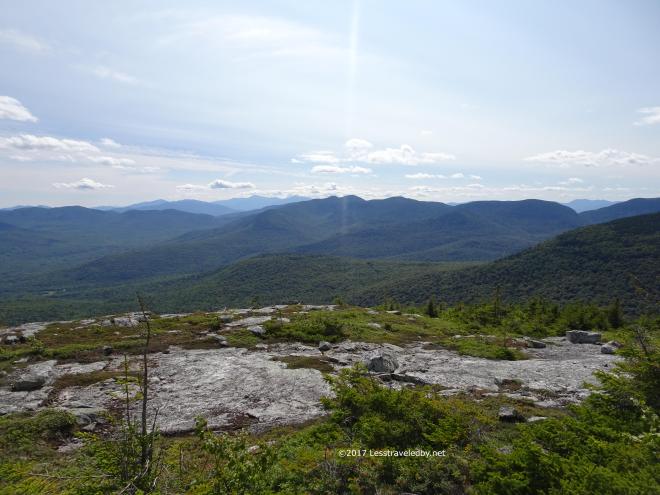 The top of Sunday River Whitecap is always one of my favorite spots to be. There is just so much open sky with mountains lining the horizon in several directions.
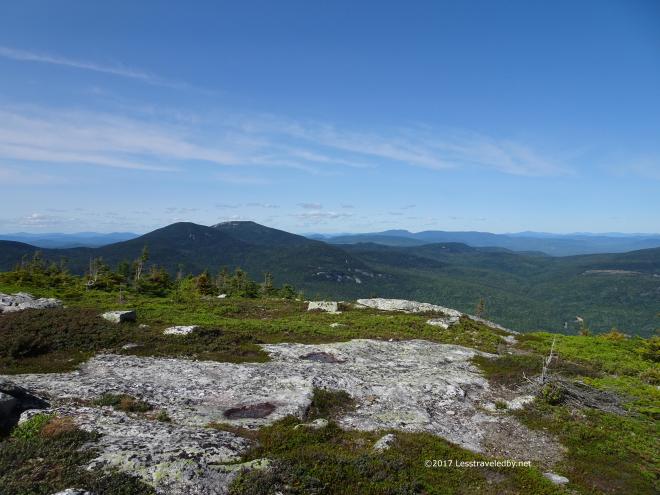
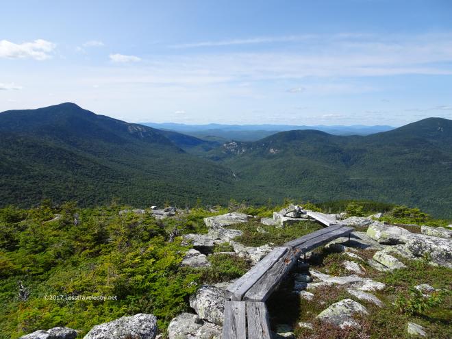 Extensive board bridges and scree walls have been put in place to define the trail and protect the fragile alpine growth. Looking a bit beyond, you can see Old Speck on the left side of the notch, a bit of highway down below and then Hedgehog Hill and part of West Baldpate on the right. I’d worry about that the next day though. I just had a few more miles to my intended camp at Bull Run.
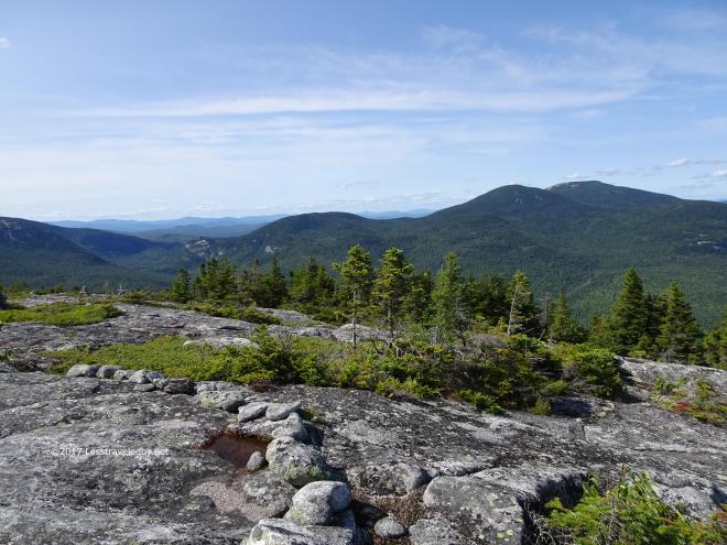
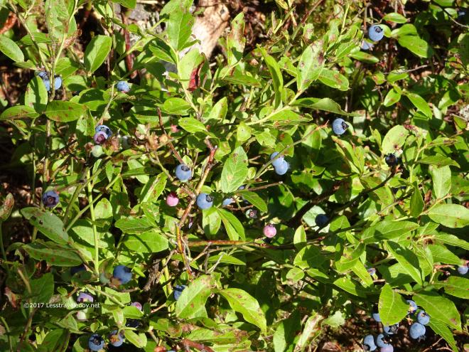 A big plus on this hike was the free fruit! A little hard to get there, but darn tasty and plenty to be found because this section of trail sees little traffic. I left some for the wildlife, but admit to eating more than a few.
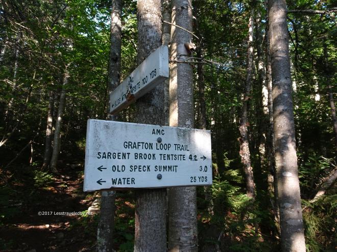
 Water at the Slide Mtn site was running low so I was happy to carry on another mile or so to the Bull Run site where the water, as usual, was flowing better.
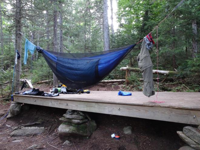 The tarp isn’t up yet, but the laundry has been hung out to dry. Plenty of room on the platform to share and another nearby, but I have never seen another soul at this site. It helps that I usually hit it on a weeknight I imagine. With good water and a bear box I make it my first night’s camp every time I come up to try the loop.
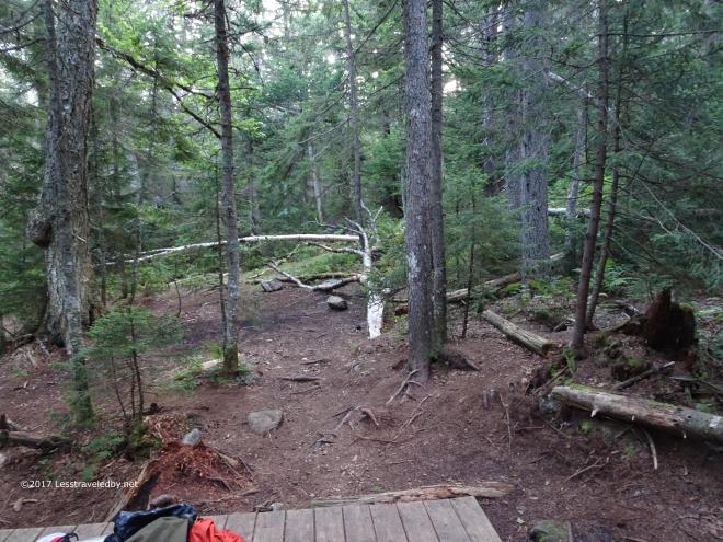 Always windy here and there are lots of dead trees laying all around the campsite. I sleep well despite that because I know that when the tree with my name on it comes at least I’ll be well rested heh.
Day Two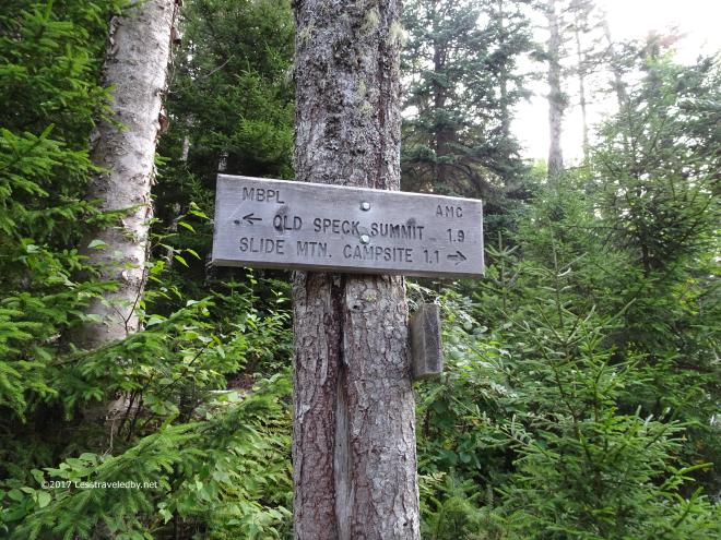
 The climb up Old Speck from this side is always a joy because it starts out easy, with dirt under foot and actual switchbacks winding their way up towards the steeper climb at the end. We don’t see many switchbacks here in New England so they sort of make me giggle a bit because it seems so easy, even if you are wasting time wandering around the side of a mountain rather than getting to the top.
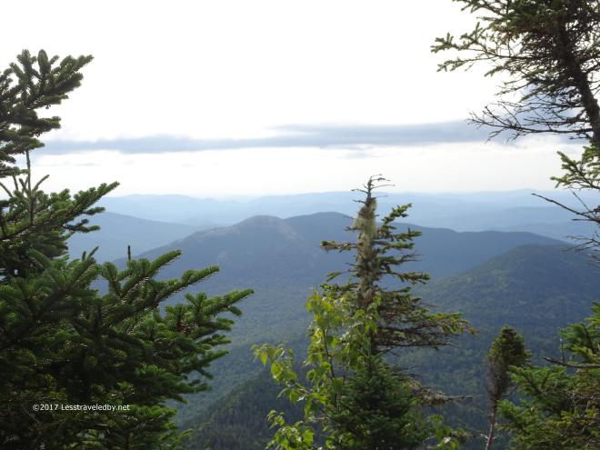 Looking back at Sunday River Whitecap, the big mountain of day one. Now we are above it, despite the easy climbing, which seems sort of unfair given the challenging climb the day before.
 At the summit of Old Speck thin clouds were flying past from left to right almost obscuring the Baldpates on the other side of the notch. I didn’t waste any time with pics up there. I was hoping to make it all the way to the East Baldpate campsite that day and had the whole of the notch in front of me before hitting the big climb on the other side.
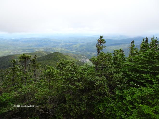
 Half way down looking back up towards the summit of Old Speck. This descent has knocked me off trail before by slowing me down and making my knees weep. Not on this trip though. I just kept rolling down that trail at a steady clip.
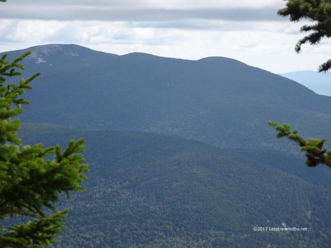 A nice view of Hedgehog Hill, West Baldpate and finally on the far left the open slabs of East Baldpate. They were getting closer with every step and starting to look bigger too!
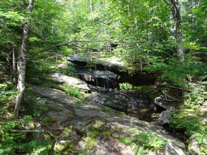 The falls were barely flowing on the brook near the bottom of the notch. I was glad I still had plenty of water from Bull Run so I didn’t need to worry about it for a while.
 To heck with those Baldpates, I’m sleeping here. I made it as far as Baldpate Shelter on the climb up West Baldpate and found myself looking at it being too early to stop but too late in the day to get where I was headed. Having pushed too hard and failed before I opted to try the easy route this time and set up camp early. It would mean a very long hike the next day to get back on pace, but for now I could take my boots off.
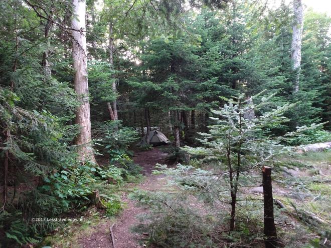 About twenty AT thru hikers also spent the time at the shelter, though only one was actually camped in the LT. These were all or most all NOBO thru hikers and many of them opted to stop early rather than take on the rest of the climb that day, but they had come though Mahoosuc Notch that day so had earned a break.
Day Three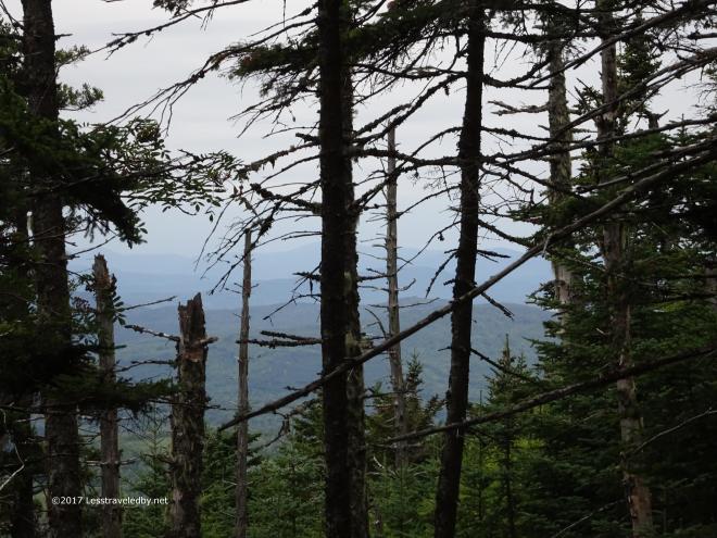 I had a lot of miles to do and weather was threatening so this is the only pic from the first climb.
 Just as I reached the summit the rain began to fall. Just a few drops at first, but more steadily as I made my way down into the col before the next climb.
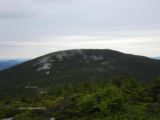 With the wind picking up and water coming down I knew the exposed climb ahead would be “fun”. Those slabs can get a bit slippery when they are wet.
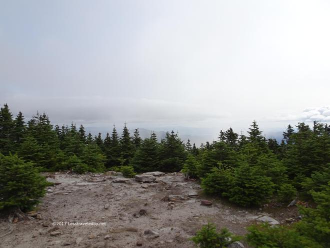
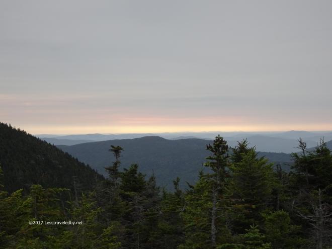 Dawns last gleaming or Sailor take warning. This was about the time the rain really began to come down and I suited up with rain jacket and kilt.
 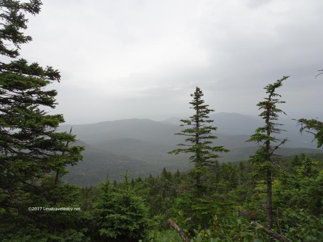 One last pic of the disappearing mountains and then the camera was packed away for the rest of the very very very long day.
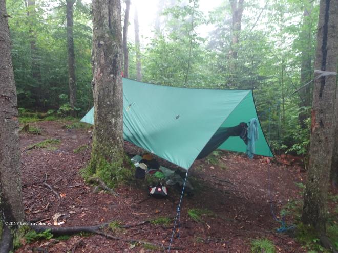 Completely soaked, exhausted and starved is no time to find out you have a tangled ridgeline. Had to sit down to calmly deal with that before I froze to death, then set up camp, get wet clothes off and get dry clothes and down quilts wrapped around me. Rough day 🙂 It had been 15 miles with 3.5 mountains climbed and steady rain for most all of it, but I was within a few miles of finishing this loop after years of failure. I wasn’t feeling great, but I was feeling hopeful.
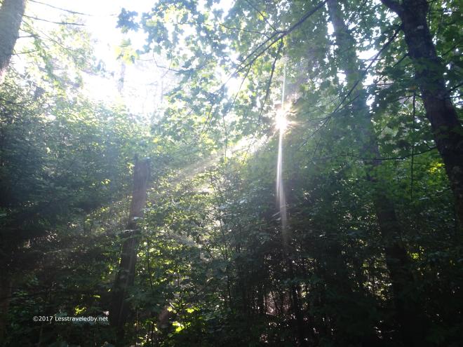 There’s got to be a morning after, right? Well I was still feeling pretty crappy, but this sunshine certainly lifted my spirits. Putting on wet trail clothes is never fun, but I was stoked about finishing the climb up Puzzle Mtn for the first time.
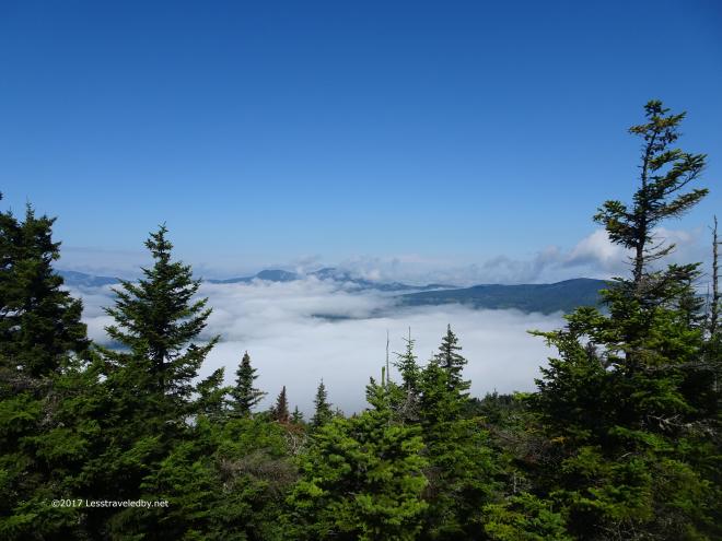 The views on top of Puzzle Mountain were definitely worth the wait and the effort. I began to run into day hikers at the summit as well as a couple who were planning on doing the entire loop in two days. Ahhh, to be young! Not sure if they succeeded, but I wished them well.
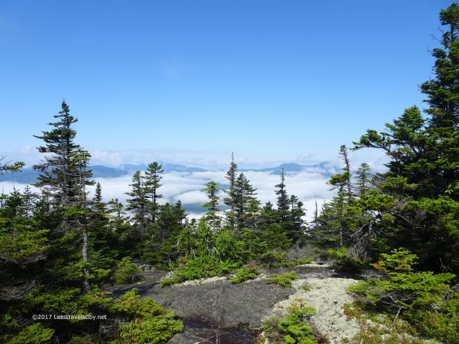
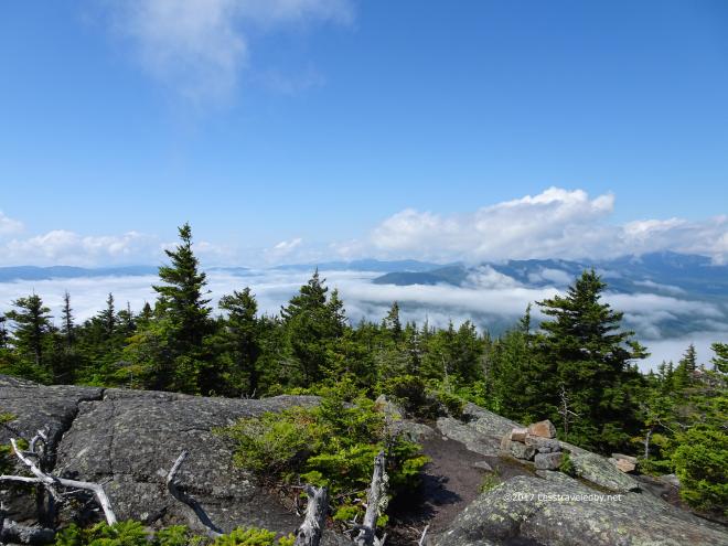 It really was a glorious morning up there and if I wasn’t in a hurry to get down to search for a cheeseburger I might have stayed up there for hours.
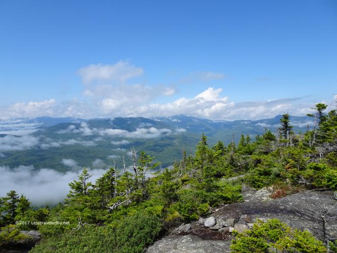 The climb down was wet, steep rock slabs which were very tricky so no more pictures. We’ll just leave these happy little cloud pictures as the end of the story for now. This last shot shows most of the mountains along the loop. Perhaps that will help you understand why it has taken me so many attempts over the years to finally make it all the way around. If not this might help…
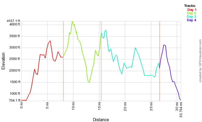
Being an elevation profile the actual trail distances are compressed. The actual miles were about 13 on day one, about 7 on day two, 15 on day three and 6 on the last day with the total loop listed as being 39 miles. This is for demonstrating the constant up and down of the Grafton Loop which is what makes it such a challenge. There are a few miles on Day 3 which are sort of flatish, but even those were rolling hills.
If you go, whether you are doing it in one night or four, be prepared to work for it. Don’t let that scare you off though. Despite the hopes that have died there over the years I kept going back until I finished it in one go.
This is one of those hikes I looked at just a few years ago and felt bad that I would never be able to do such a trip. I was too old, too fat, too weak. Now, rather than being the place where dreams go to die, it is going to be known as the place where I decided to dream even bigger…
