39 pictures from a second attempt at a trip that ended waist deep in a flood when we first tried a few years back. This time we finally got to see the entire loop and no one was at much risk of being swept away.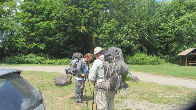 But let’s start at the beginning, loading up in the parking lot. Once a year the boys from Texas fly up to Maine to eat lobstahs and allow me to drag their butts through some mud or over a mountain or two. Like our previous attempt we were headed counter clockwise around the loop, but this time Frost Pond would be our last night rather than our first so we were starting from a different spot in the Trout Brook area.
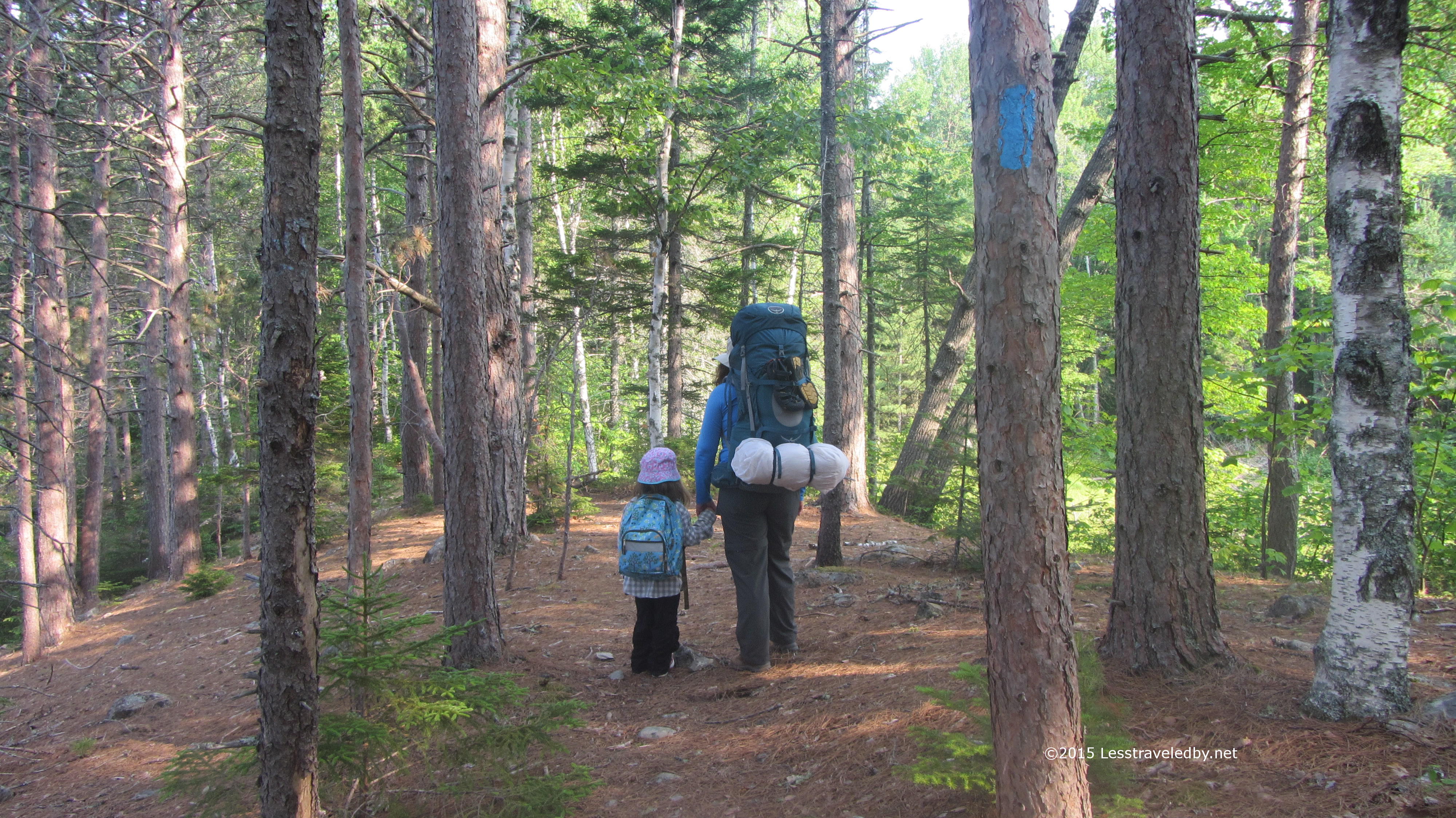
 This trip was a month later in the year and we were hopeful the weather would be kinder as the forecast called for little chance of rain during the week. It was warm and a bit humid, but we had only five or six miles of relatively flat trail for the first day.
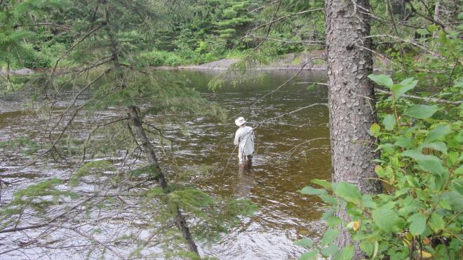 On our previous visit to the Little East campsite we’d had wonderful luck pulling dinner out of the brook before the storm hit. We all broke out our rods and got busy soon after reaching camp in hopes of a repeat performance.
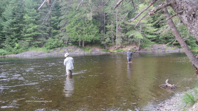 Sadly we were only getting hits from undersized fish for the most part, though my nephew did manage to find a couple of keepers to have for a snack. I felt bad about torturing the little ones that kept taking my lures and decided I’d settle for eating out of my food bag and sleeping better instead.
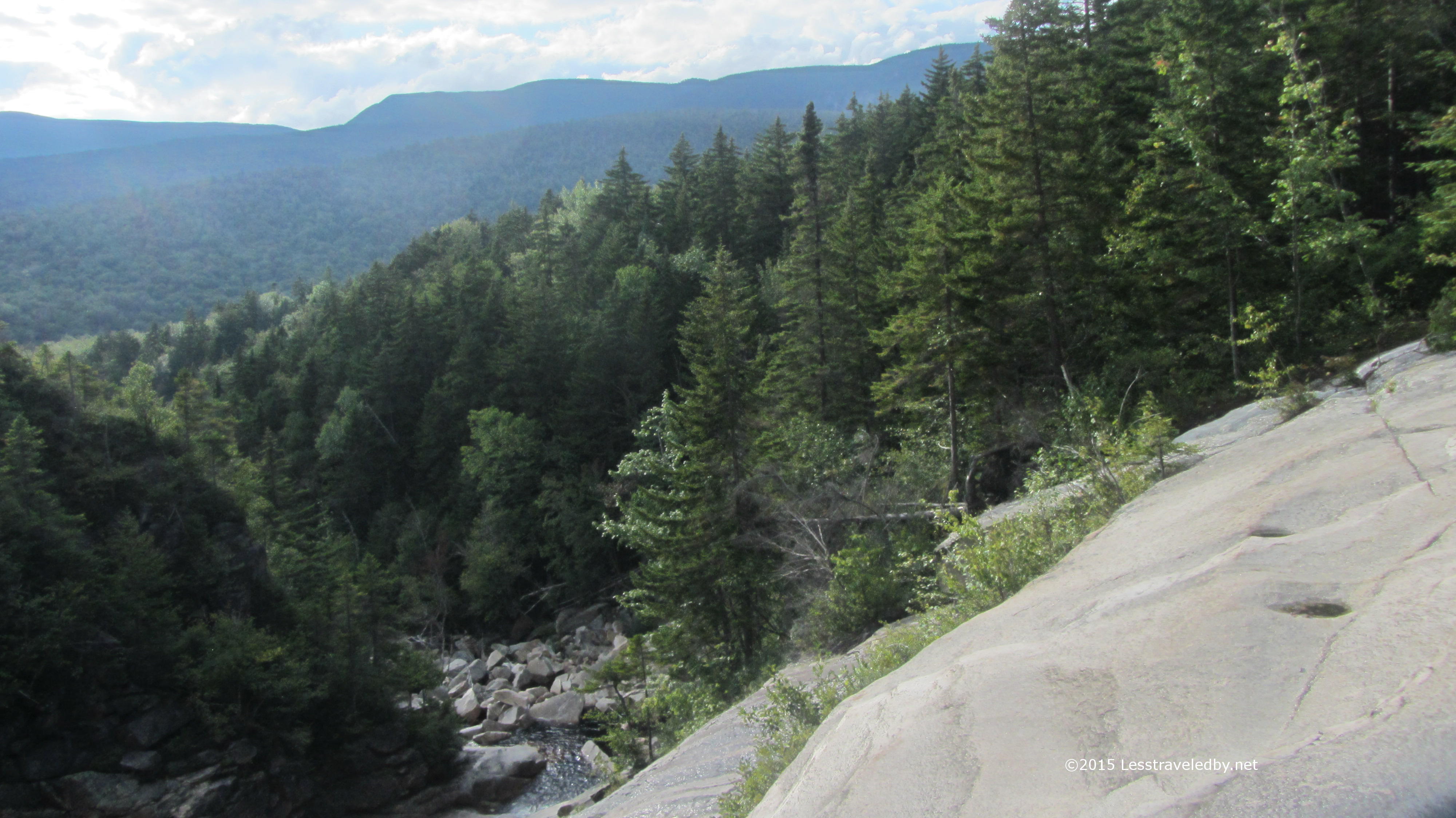
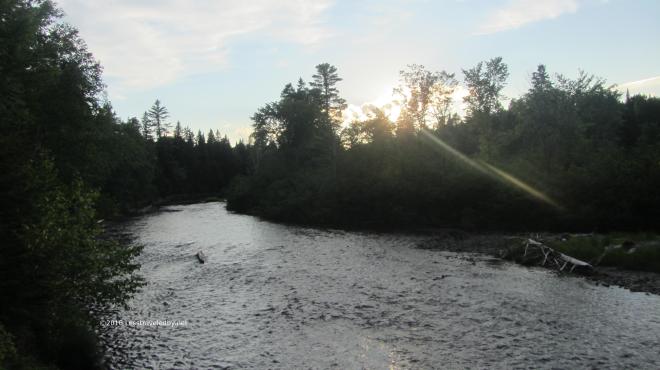 The brook was running quite a bit lower than normal as the Summer had been pretty dry. Certainly a far cry from the muddy and foaming flood that was pouring through here on our way out last time.
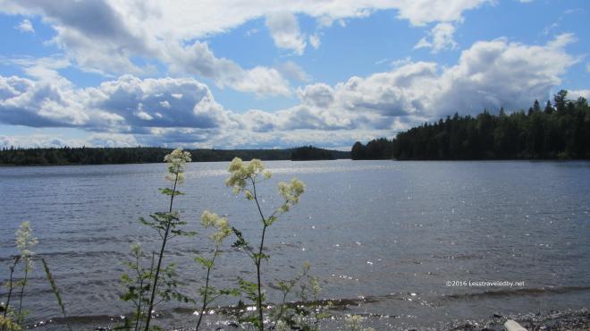
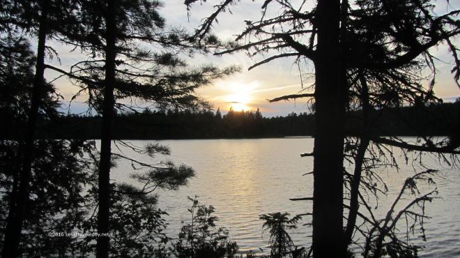
 The confluence of the Little East Branch of the Penobscot and Webster Brook was peaceful as evening came on. After a first day of easy trails everyone was feeling pretty good, but I could tell the horrors of the previous trip had left a mark on everyone, leaving us all a bit nervous despite the lack of reason for concern. I knew once we made it to camp the next day that would all be gone.
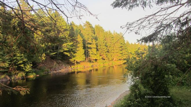 The peaceful sunset continued as sunsets do and we passed a relatively peaceful night. There was a brief shower and the patter of rain on the shelter roof was enough to make us all sleep a bit less easy. Thankfully the morning dawned clear and we were on our way up the brook.
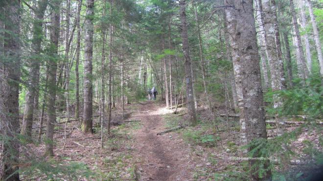 Having been here just a few years ago the trail seemed familiar, yet very different since it was so dry. Last time the rain had been coming down for more than twelve hours by the time we were in this spot and trail was puddling heavily already.
 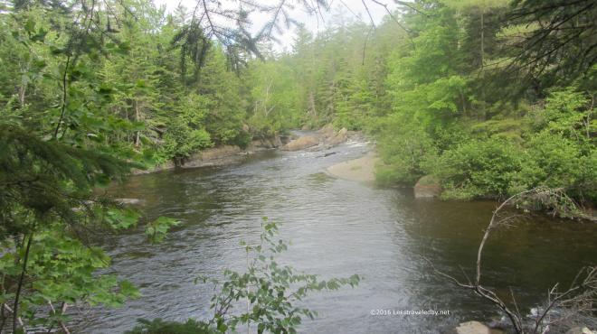 The brook was flowing well enough as it is fed from Webster Lake via an outlet near our next campsite. Last time it had seemed like it wanted to eat us, but now it looked like a relaxing spot to camp.
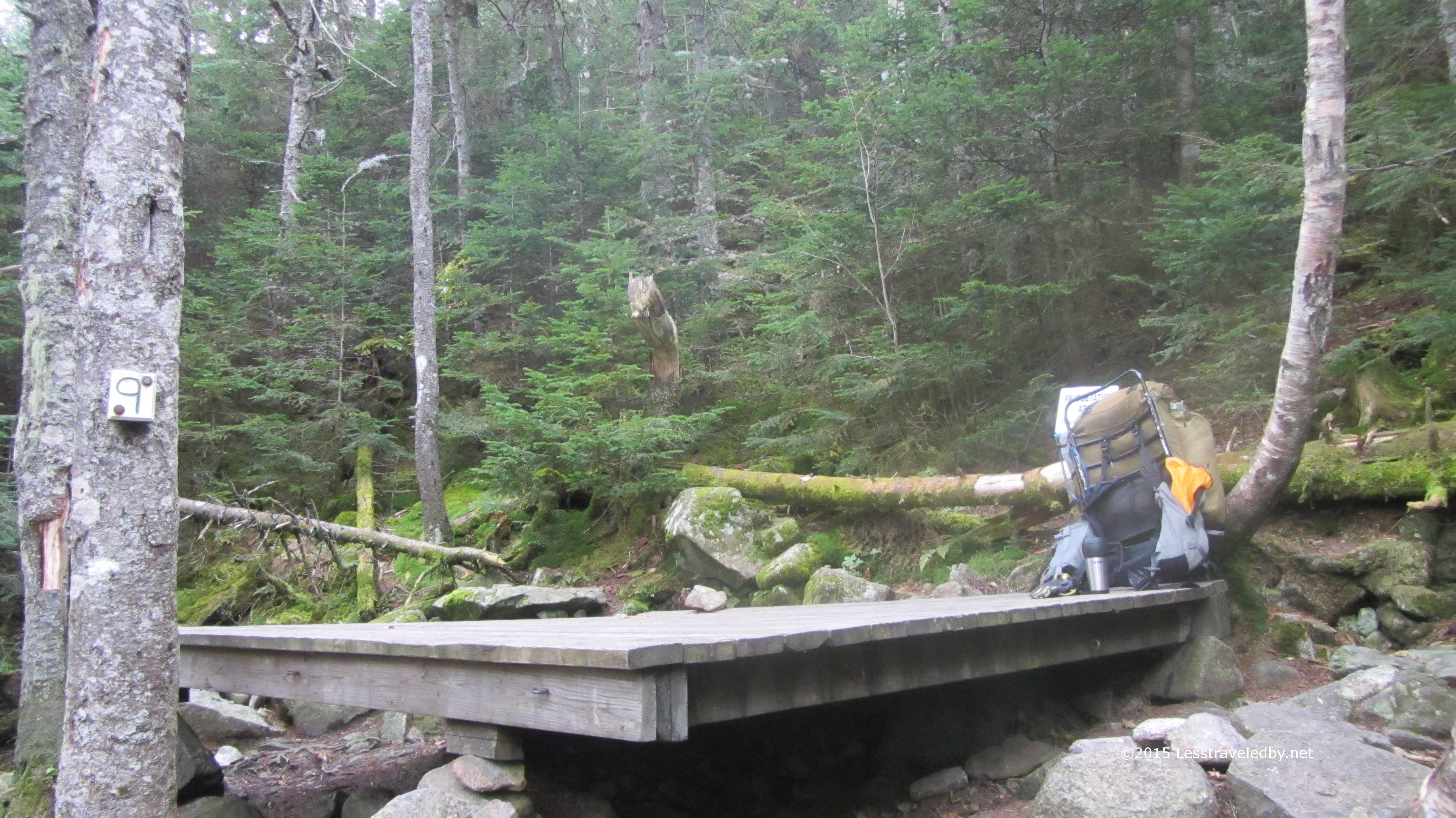
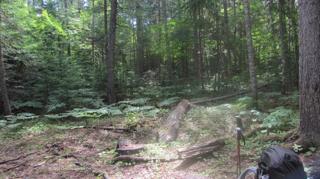 We stopped for lunch where the old Webster Stream LT used to be. I’m pretty certain it stood somewhere right about here. Not sure if they helicoptered out the debris, but the site restoration was so well done that we weren’t really sure if this was the exact spot. I did find a tiny piece of roof shingle to verify it had been here close by.
We took shelter here after being turned back by the flood on our previous attempt. Soaked after a long day of hiking in a deluge and then wading back out of the flood at the Hudson Brook crossing we were happy to spend the night here. In talking to the folks at the Baxter office they said almost no one ever reserved this site and after the tornado it was removed as part of the rehab effort.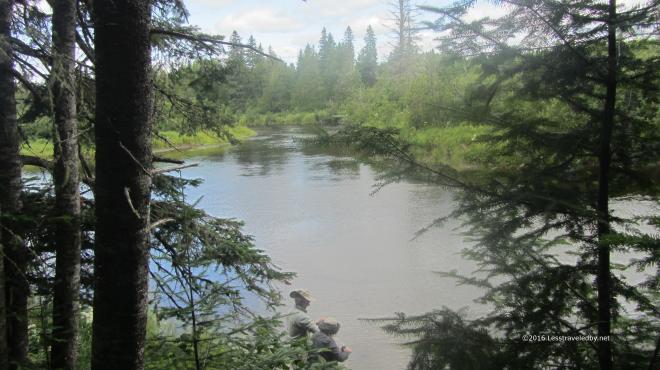 It really was a pretty spot and I’d imagine early in the year the fishing might be good as there is a deep channel here. The boys headed down to filter some water rather than fish as we still had some miles to go that afternoon.
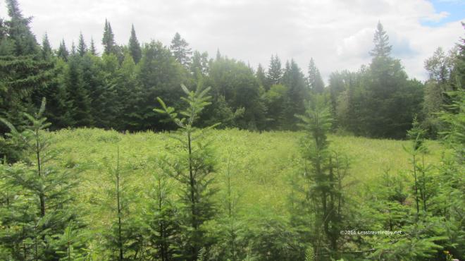 We passed through this area filled with raspberry bushes and I was grateful to find they weren’t quite ripe yet. I have a feeling this spot is bear central once those berries turn red. As much as I like eating those wild berries I don’t want to have to wrassle a bear over them.
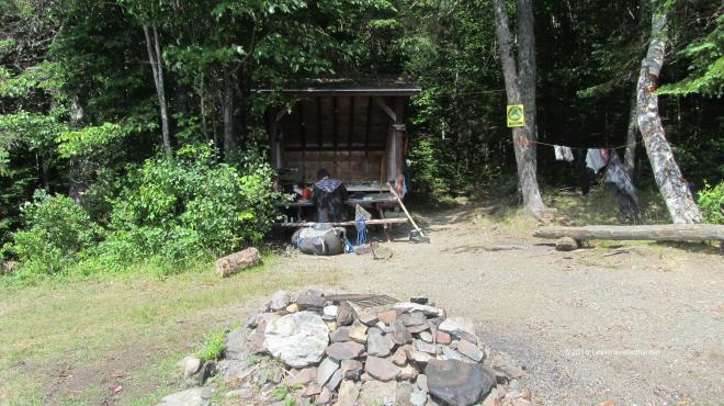
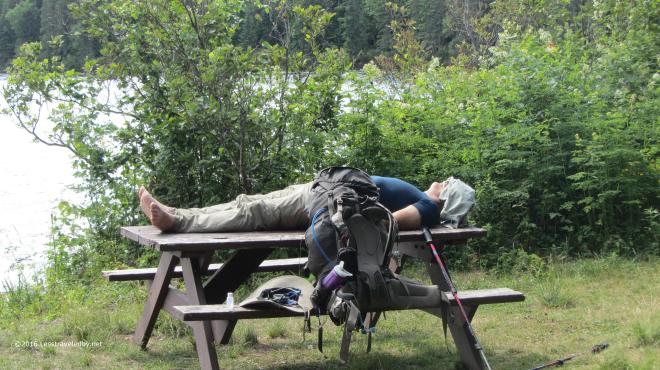 Ahhhh, camp. We found the newly created bypass trail to be an amazing bit of work. Shortly after the flood we enjoyed there followed a tornado that toppled a huge swath of trees. That one two punch left a mess easier bypassed than recovered so a couple of miles of new trail were created from scratch. When we crossed over Hudson Brook it was so tiny we didn’t even realize what it was at the time, but we were moving along quickly in anticipation of finding our campsite.
 Once we found it we were a bit less enthused heh. Clearly this site being so far from the park road and accessible via means other than walking (boat & snowmobile) meant it saw a lot of use and some of it by folks not too concerned with being good neighbors. Most sites with canoes will have a bunch of life vests and certainly more than just one paddle. On the other hand this site came with an old burnt up pan and a latrine filled to the top with trash so there was a trade off, though not in our favor.
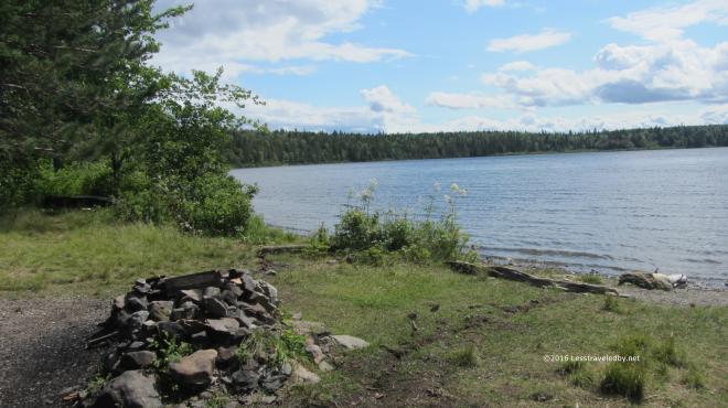 It did also come with some great views. Right on the lake it was exposed to the wind, but there was full sun and lot of beauty to soak up.
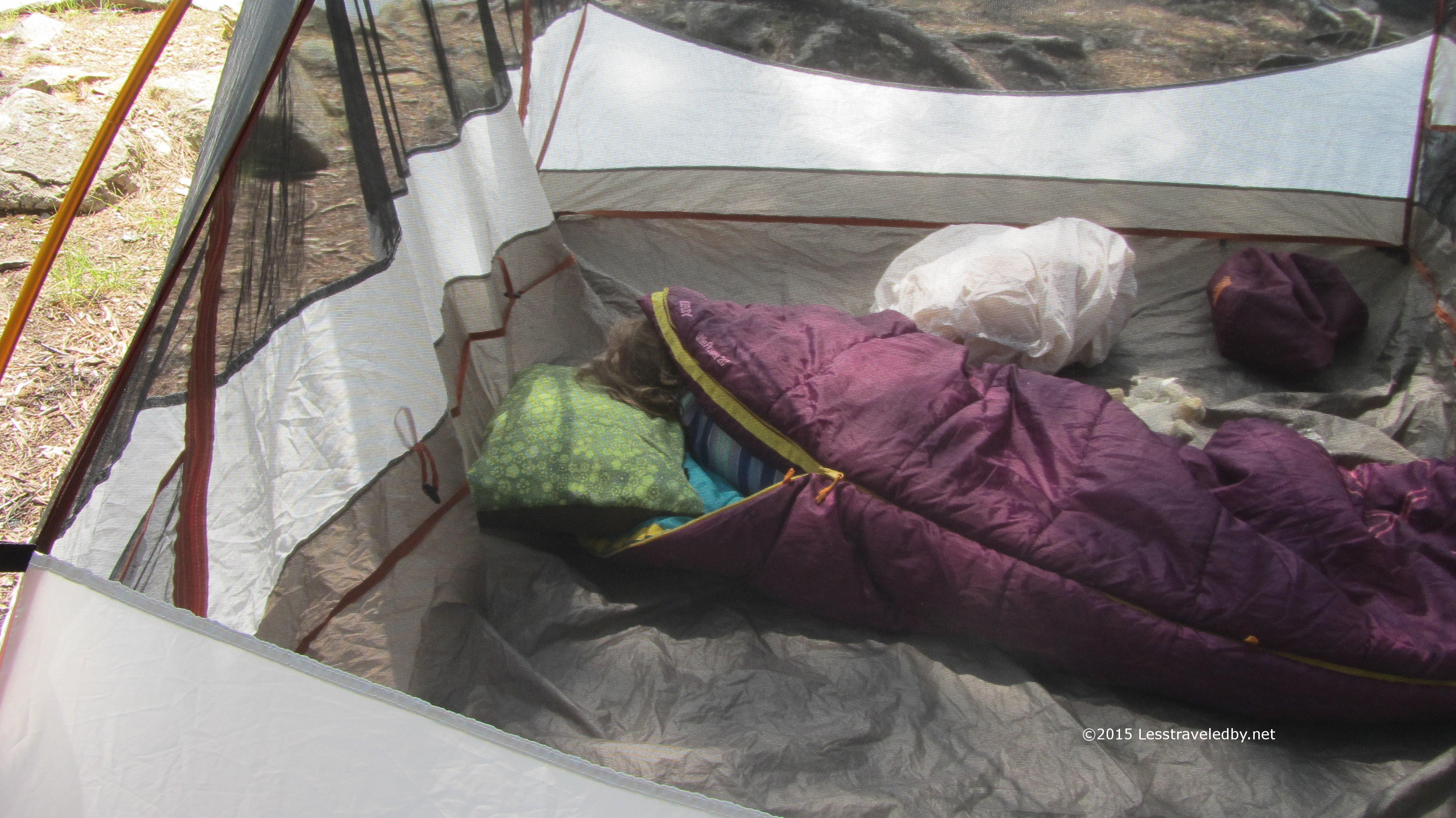
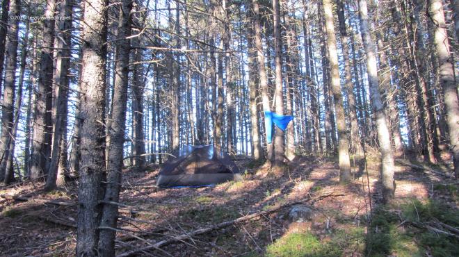
 The LT here is pretty small, but this site is also a tent site which is rare, allowing a total of twelve in a party. The boys decided they would set up their tents on the grass to enjoy the breeze leaving me the lean to all to myself. Well except for a shelter mouse heh.
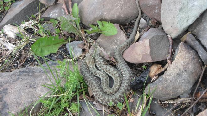 There were two different looking snakes living in the rocks around the fire ring. They would come out to sun themselves, only withdrawing into the rocks if we walked too close. I was hopeful at this point that they had eaten all of the shelter mice since they looked to be fat and happy snakes.
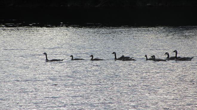 Speaking of fat and happy, this flock of geese swam right through our front yard later in the afternoon. There were also some loons and at least one bald eagle working the edge of the lake.
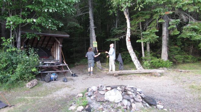 The boys decided to see if they could hang their food bags which made for good entertainment. They each took a shot at it and in the end settled for what they could make of the situation. Since mice and chipmunks were our biggest threat they did just fine, but I think a smarter than average bear might have gotten their bags.
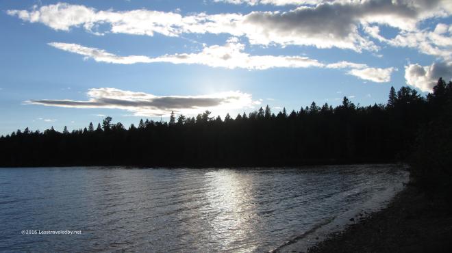 The campsite may have had a bit of a dumpy feel to it, but there was a lot of good to be seen here as well. There was a great moon to enjoy once the sun set, but we were sleepy campers and missed it for the most part.
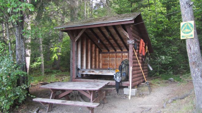 Packing up in the morning I’d survived my night with the shelter mouse. He survived too, but not unscathed. At one point, a particularly bad point for him, he jumped up onto the side of my tent that I’d pitched to keep him at bay. I happened to be sitting in just the right spot that the instant he hit the tent my hand instinctively slapped him off. He flew into the night and didn’t return 🙂
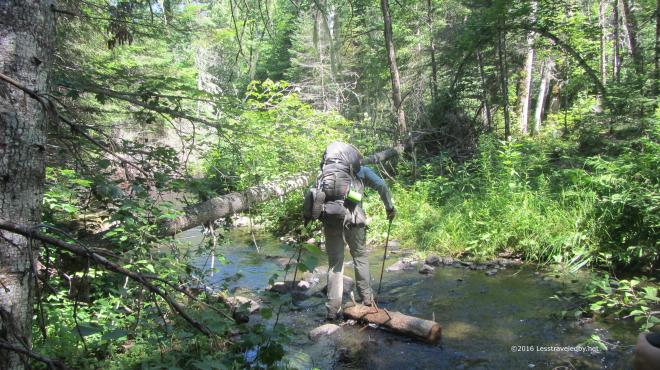 Leaving Webster Lake in the morning headed towards Hudson Pond we found ourselves crossing Hudson Brook again. It was hard not to giggle at the thought that this tiny creek had given birth to the raging flood we found ourselves trapped by on the last trip. Of course that was the nervous giggle that only a man whose found himself thigh deep with a rising flood roaring all around him knows isn’t all that funny, but still, this seemed impossibly small.
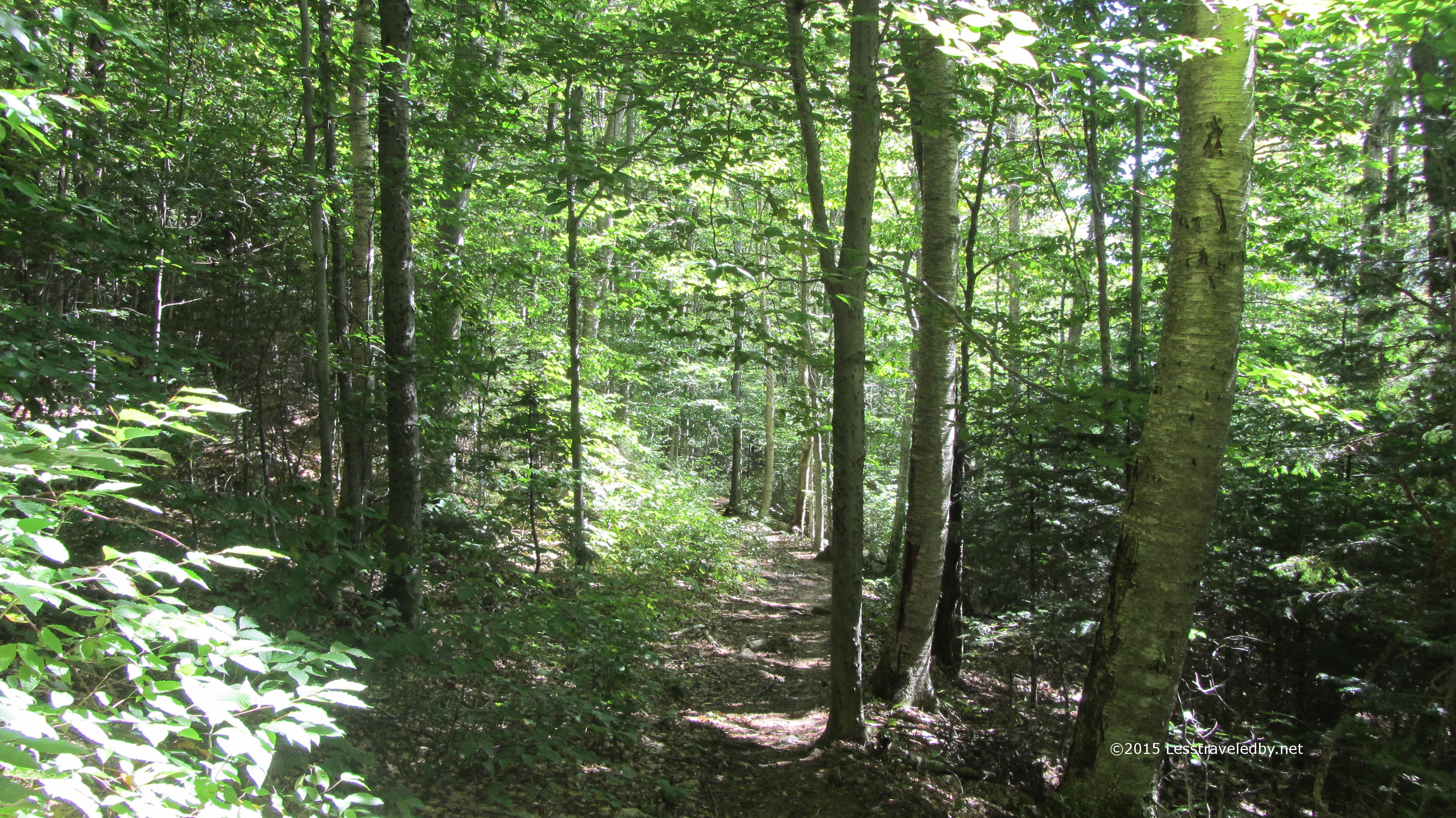
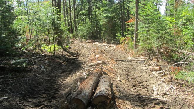 Heading up the hill towards Hudson Pond we entered the Forest Science area of Baxter State Park. First we passed through an area that had been logged some years before. The trail there was very hard to follow at times with few blazes and little in terms of an obvious treadway. Some trees had been cut about ten feet up leaving a tall stump with a blaze on it, but there were areas where we had to really pick our path carefully while avoiding both mud pits and fallen branches hidden under deep grass.
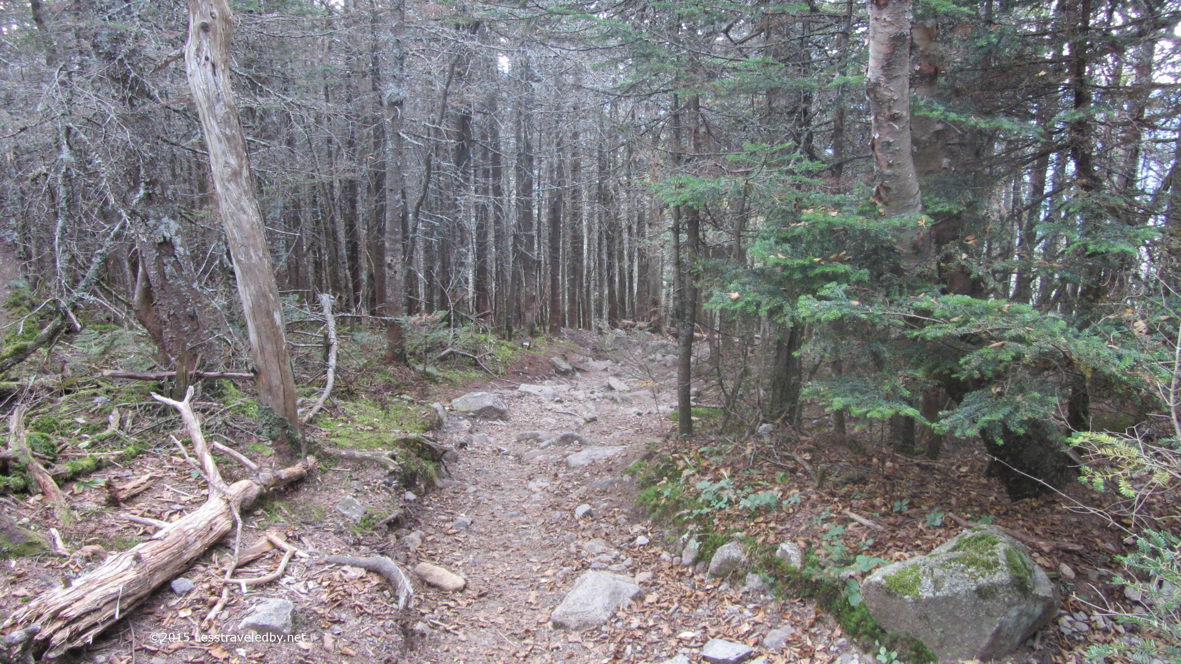
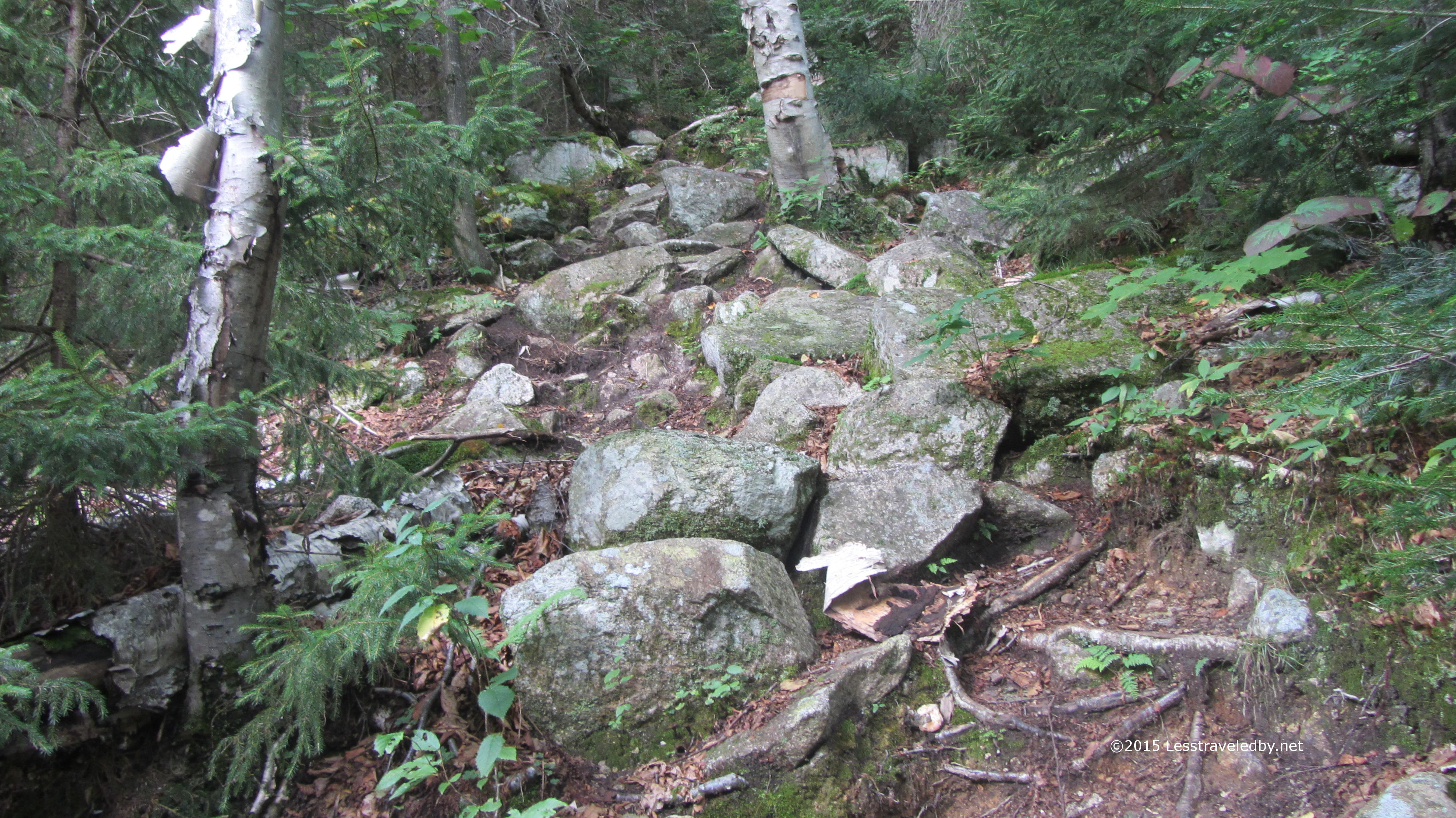
Then we came to a warning sign that we were entering an active area and sure enough we crossed paths with a man hauling logs along a path slashed through the forest.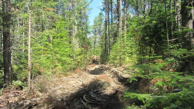 You can just make out the tail end of his tracked vehicle rounding the corner with a full load. The experience of watching and listening to this mechanical beast after several days on trail was most odd. Even stranger than the feeling one gets watching cars zip by at the average road crossing. Soon enough we were out of sight, but we would hear this man working for the rest of the afternoon.
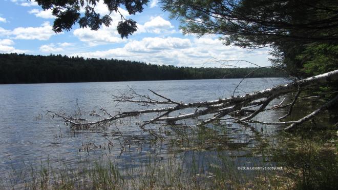 We arrived at Hudson Pond early enough in the day for some exploration, though it was a bit hot for hiking much more.
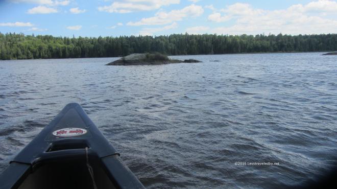 Thankfully this site not only came with a canoe, but two paddles. We took turns paddling with just two going out at a time to avoid overloading the canoe. There was a pretty stiff breeze out on the water though we were able to head up wind first and then coast home.
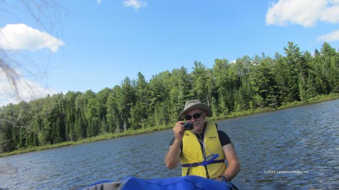 I took a series of wild, over the shoulder, no look shots of my brother with the rest coming out worse than this. Managing a camera and a paddle while bobbing up and down in a canoe is not an exact science so I was happy to have him actually in one of the shots.
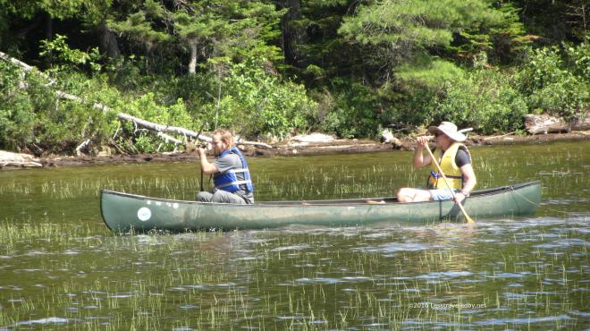 Later he headed out with his son who is studying aquatic bugs and turned our trip into a collecting expedition as well. He brought along numerous containers and a net for hunting down specimens. He also used his collection skills to wipe out a lot of deer flies which never seemed to end up in a collection jar so I’m guessing that was just personal.
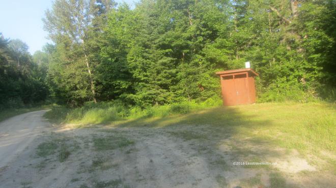 The next day we had a lot of miles to cover to reach our last campsite. We got an early start and soon were passing through a day use area where the forestry people have an open shelter and a privy. Once we passed this road we were back into the Baxter we know and love so well with lots of boggy sections.
 This crossing was one of the best parts of the trip. The trail just ended in this swampy pool being held back by a naturally formed debris wall. The murky water was about a foot deep with no clue as to how deep the mud below might be. The boys started talking about taking off their boots for a water crossing when I spotted the debris just down stream. Walking quickly as my feet were sinking in with each step, I carefully worked my way across. Seeing me on the other side is all it took to inspire them to follow quickly behind and I just barely managed to get my camera out for this shot. I think that is my nephew behind the tree, but it is hard to tell. I do know they both got their feet a bit wet but at least no one got sucked down into a mud pit.
 Gathering our courage for the big climb ahead of us. Well not a really big climb, but the only real mountain we’d see the entire trip. Hot and low on water due to nothing but swamps along the trail all day it was a bit of a struggle to the top.
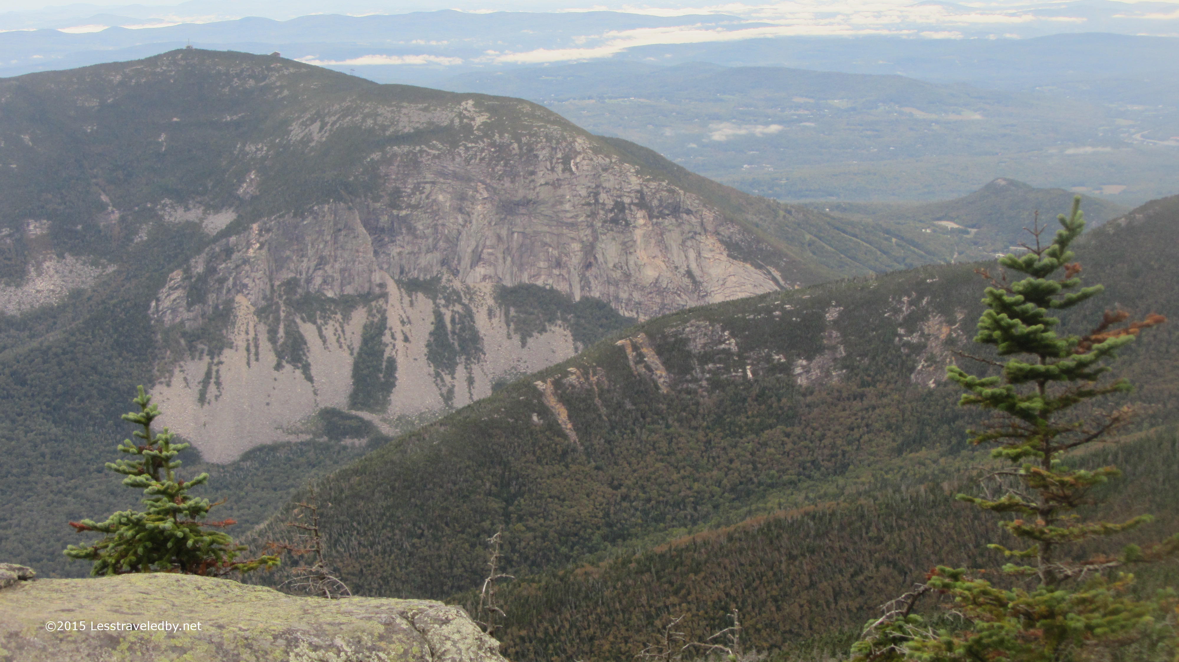
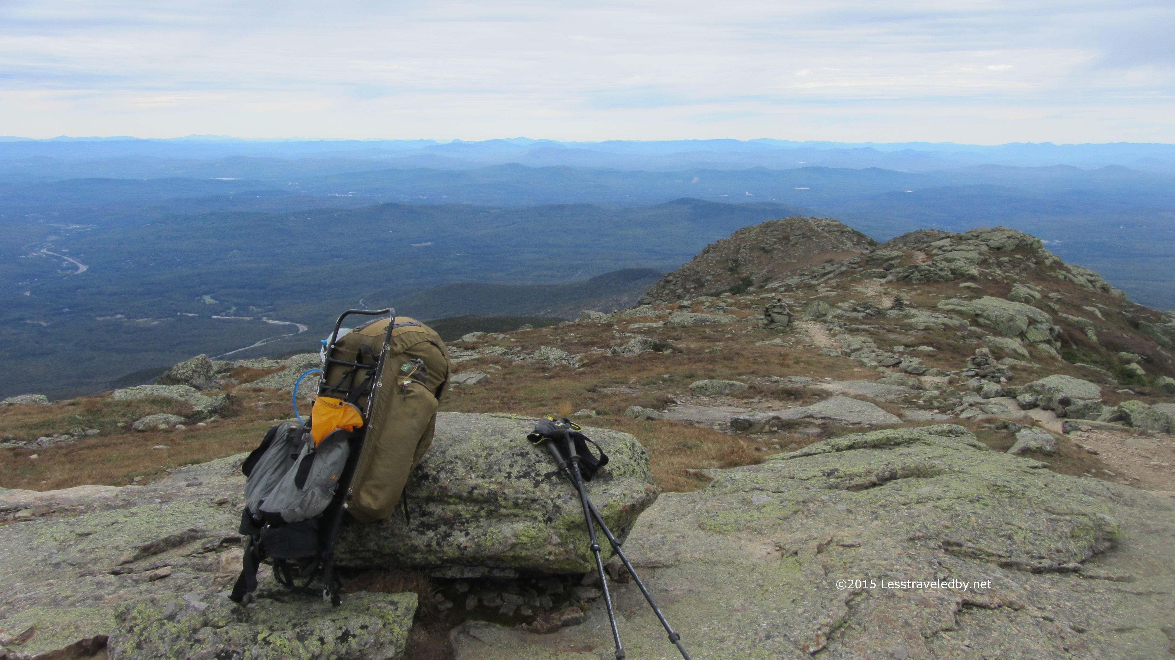
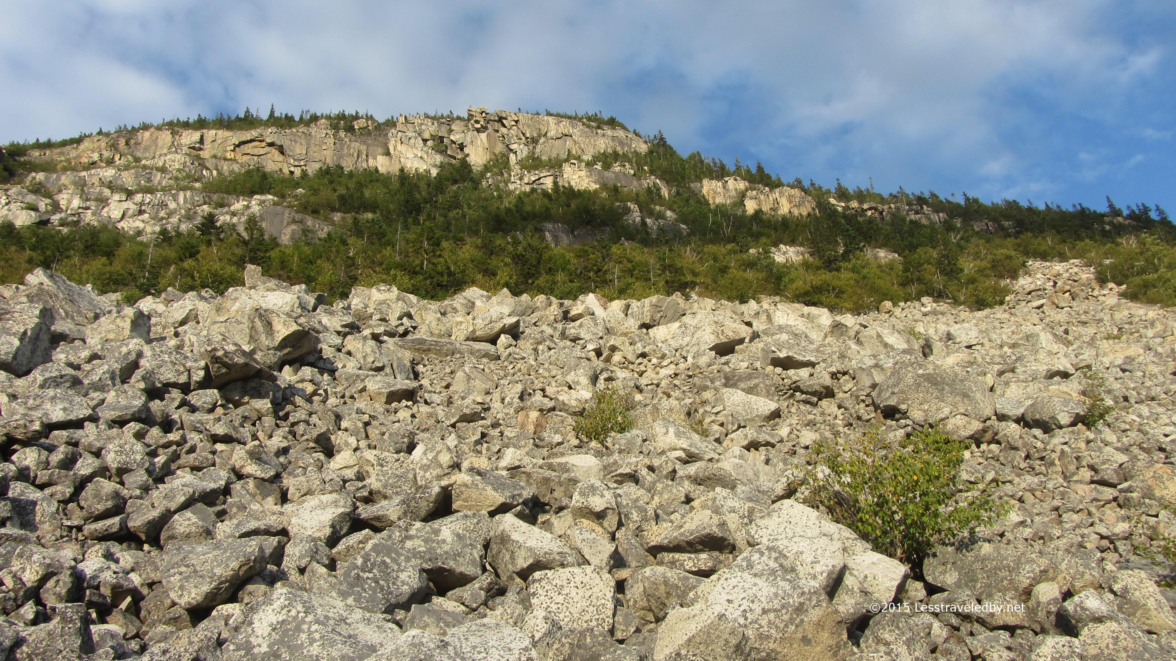
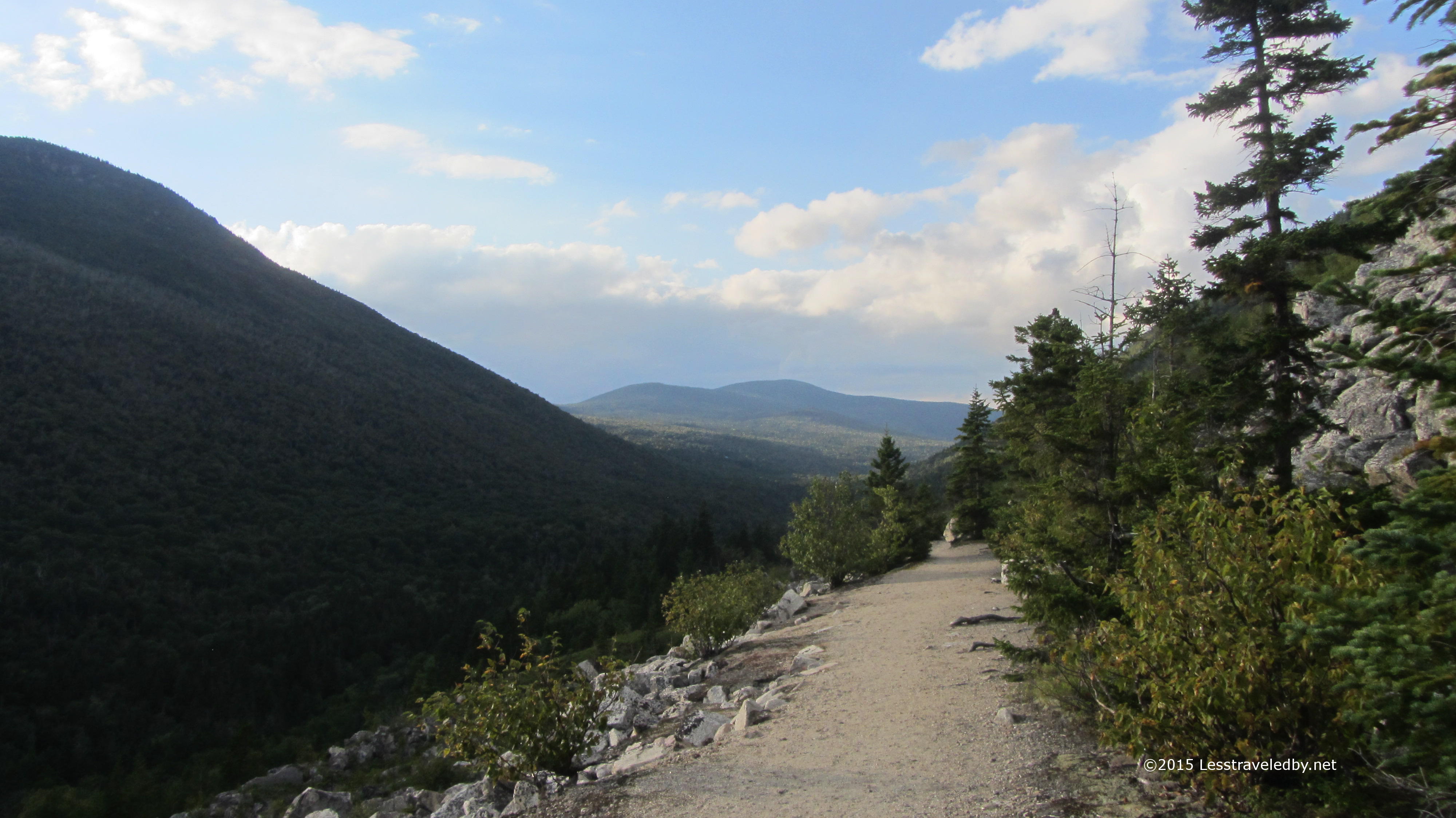
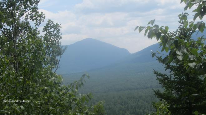 There was a bit of a view from some open rocky areas near the summit and we stopped for lunch. It was hot in the sun and the low water supplies kept us from staying here too long. The boys were very dry by the time we reach our final campsite at Frost Pond and while I drank the last of my water soon before finding the camp I too was ready to soak up a couple of liters of Gatorade.
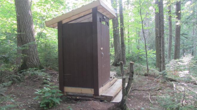 I was astounded to see this fancy new privy on the hill above camp. On our previous visit here the latrine was an open metal cage with a toilet seat bolted over a hole on top. This beauty smelled of fresh cedar and the boys kept saying it smelled like the lumber store. So in two days we went from one of the worst latrines I’ve ever seen to this brand new marvel. I feel bad for anyone doing the loop in the other direction. This is the sort of privy that spoils a person.
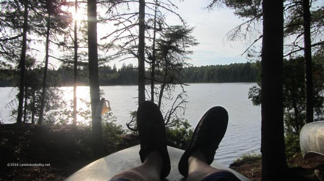 This relaxing late afternoon down by the pond cost me a few bug bites, but it was totally worth it. The canoes here were locked up, perhaps because they are closer to the trailhead. We were content to soak up water, then some dinner and then more water with no need for a paddle around the lake. I have heard good things about the fishing here though and would like to come back next Spring just after the season opens and spend some time with my pole here and at Little East.
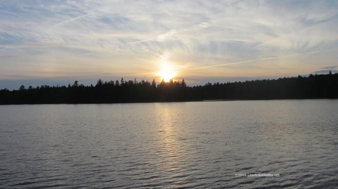
 It was a great last night on the trail and with only a few miles back to the car our confidence of surviving this adventure was growing. Of course once you’ve survived everything seems easier and there had been some struggles along the way. Still it was nice to think we’d finally complete the loop that had eluded us.
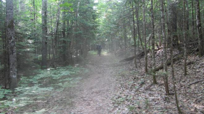 It was warm and steamy, but nothing was going to keep us from finishing the next morning. We all had our thoughts on the cheeseburgers we knew we’d find down the road once we reached the car. The boys were moving right along considering they were on day five of what for them is a rare chance to get out on trail. I’m thinking next year we need to find something with a real mountain in it or they are going to get soft on me. This was a great relaxer of a trip though and I always look forward to getting out on trail with the boys from Texas.
The aborted trip with the epic rain storm was before this site existed. If you are interested in reading the details of that adventure in more depth you can find the trip report I posted on Trailspace here http://www.trailspace.com/forums/trip-reports/topics/146513.html Along with the epic tale of flood survival you can also find a picture of the old Frost Pond latrine 🙂
If you are considering heading out on this loop be sure to come prepared. This is definitely a path less traveled by and you will not find any friendly park rangers out there to assist you. Be prepared to navigate and take your time in the logged out section as that is very hard to follow. Once a person lost the trail there it would be very difficult to find again. Also, during dry years, be wary of the lack of usable water between Hudson Pond and Frost Pond other than possibly Boody Brook after coming down Wadleigh Mtn. In between we found everything to be thickly stagnant and didn’t bother to try filtering. It isn’t a terribly difficult trail, but wilderness should always be respected and despite the forestry science logging this is definitely a wilderness adventure!

 I camped on the same knob above the river as last time, but with the snow melted it looked a very different place. The established ad hoc site was clearly visible with its rarely used fire ring and frequently used sitting log. LNT says use what you find so I set up there and then spent a while trying to find the spot I’d camped on the last trip. I finally found it the next morning on my way out by recognizing the little tree that took a bite out of my Patagucci pants, but there was no trace that anyone had camped there.
 The late afternoon sun was lingering later just a few weeks further into Spring and certainly appreciated. The bug house was up, but only a few random flies were around. Later I would put the roof on to keep a chilly breeze out as the night dipped into the 20s. I brought both quilts along which was overkill, but very snuggly that night.
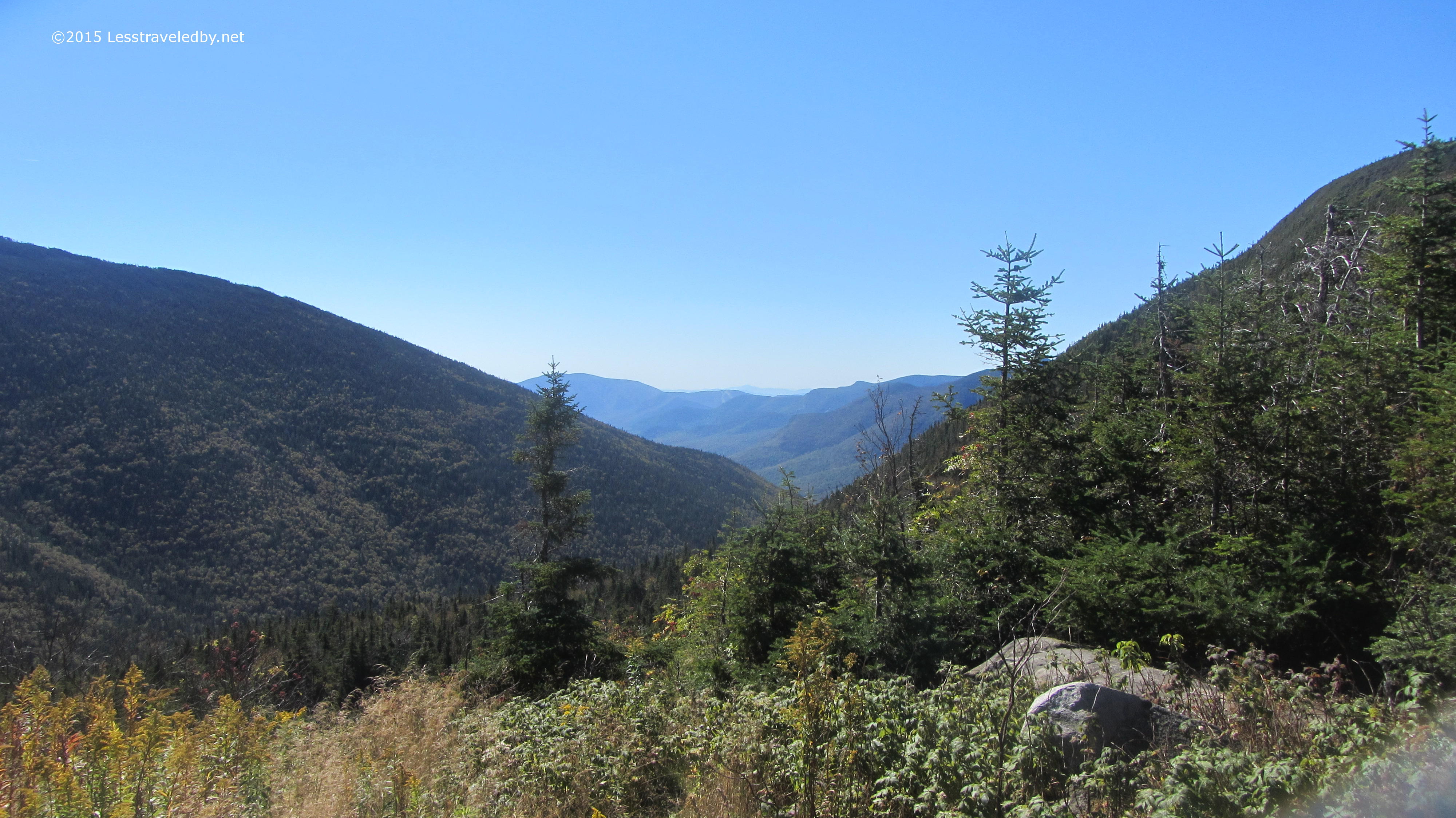
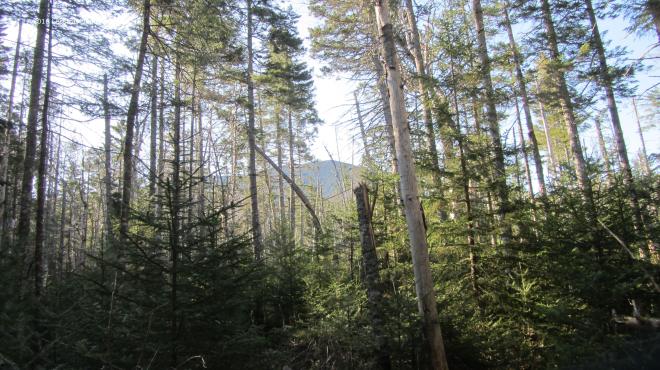 In the morning it was time to go find that mountain. Passing through the new growth of the Stillwater area there were occasional glimpses of Carrigain waiting for me up ahead. The trail through here is all very flat right up until you start the actual climb which I find amusing. It sort of sneaks up on you and then you find yourself on the mountain.
 Well, I guess there is some warning. The name of this trail has always appealed to me, long before I dared to think about climbing it. I recall wishing I was the sort of person who could do that but the elevation profile scared the heck out of me. Now here I was coming back to use this climb to test out how well my boots were breaking in.
 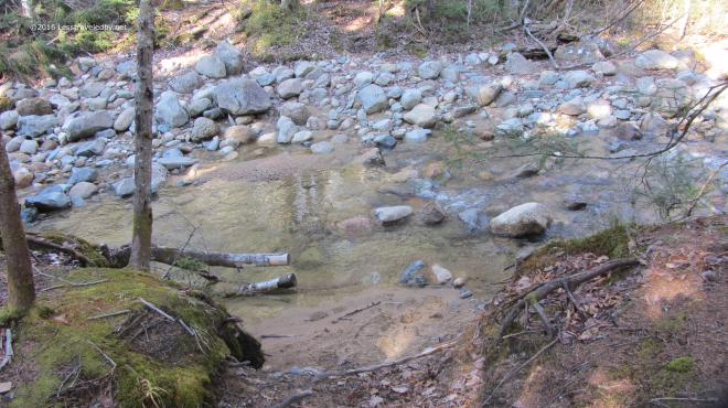 The crossing at the base of the mountain was really low for early May. I like easy crossings, but I’m a bit concerned about how dry this year is going to be. My plans have me traveling mostly to other areas this year so I’ll have to keep an eye on other folks trip reports to know how water supplies are holding up since I won’t be seeing the Pemi nearly as much this year as last.
 Then it was time to head up. For most of the climb there are views of the Vose Spur off to the east which I like to use to gauge my progress. I know it stands a bit lower than where I’m headed so as long as it is above me I shouldn’t get my hopes up I’m almost done.
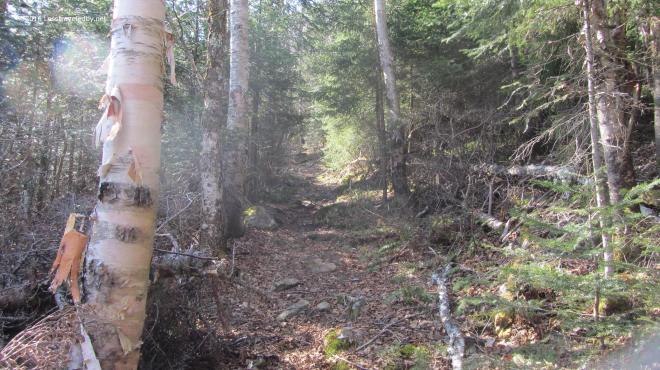 The first thousand feet or so of climbing was done on relatively dry trail. It was a nice cool morning which is my favorite for going up mountains and I was really enjoying the day.
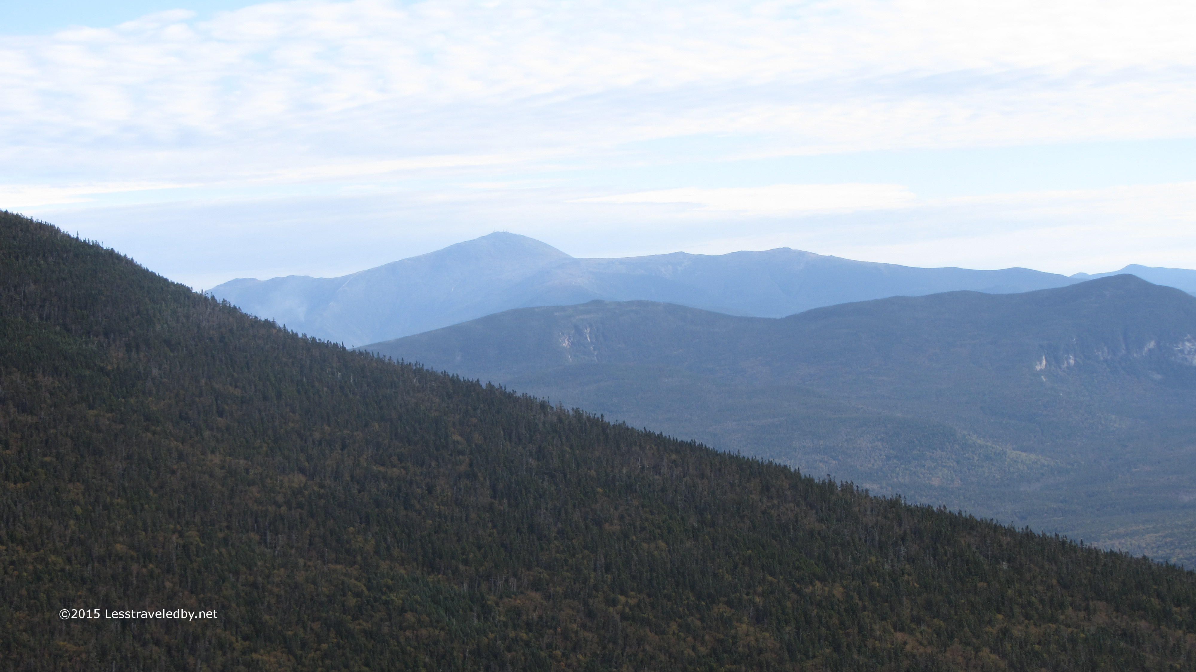
 If you are going to go to all the trouble of climbing mountains it should be on a day with views like this. There was a little haze, not perfect, but Washington in the distance looked pretty clear to me.
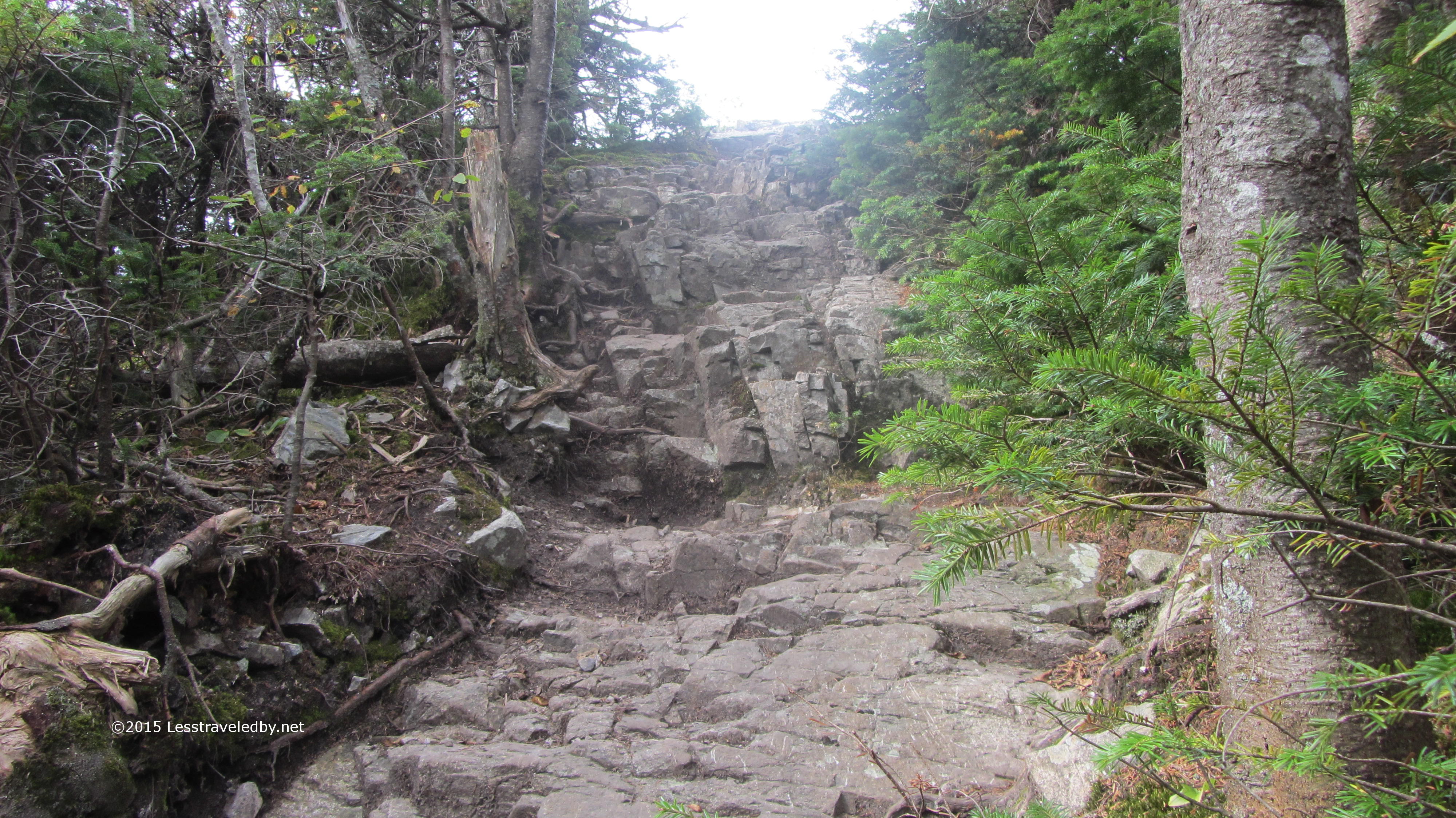
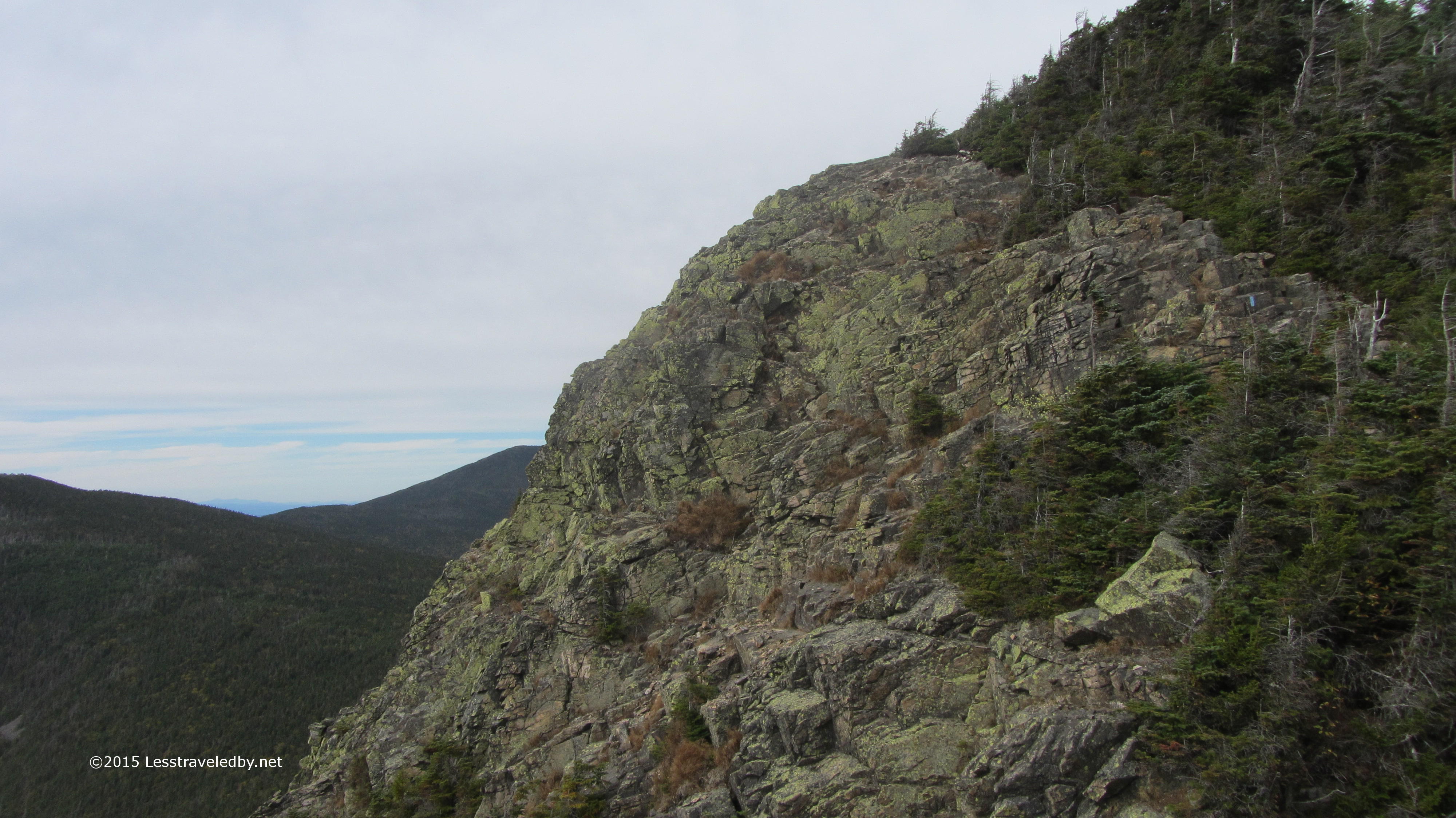
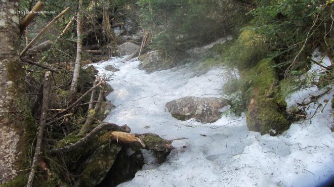 Then I hit the ice! There are no more pictures of the climb because I was too busy to look anywhere but my feet. So long as the trail has some flat spots walking on ice isn’t that hard provided you have your spikes on. It was the more vertical sections that posed the real challenge. Even without ice there are some really steep sections that make you work for every foot of gain on this trail. With the ice there were a few spots that scared the crap out of me heh. At one point I became stuck on the middle of a section that seemed more wall than floor and found myself wishing for an ice axe. After carefully sliding down about twenty feet I stopped on a ledge and found a different route up. This was, at least as far as I’m concerned, some pretty serious stuff.
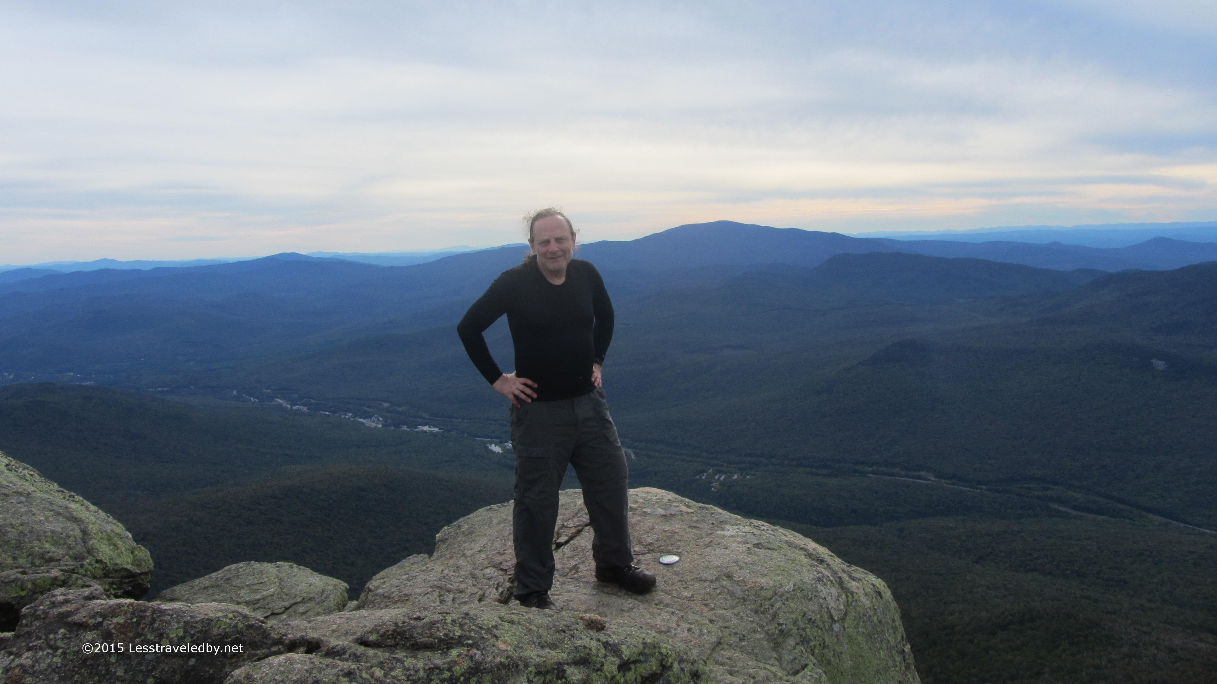
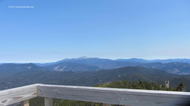 The summit was of course worth the effort. Despite my dislike of climbing towers I raced right up to the top this time. With a seriously chilly breeze blowing up there I didn’t stay long. Not much winter snow left on the high peaks, but I bet there is still plenty of ice up there.
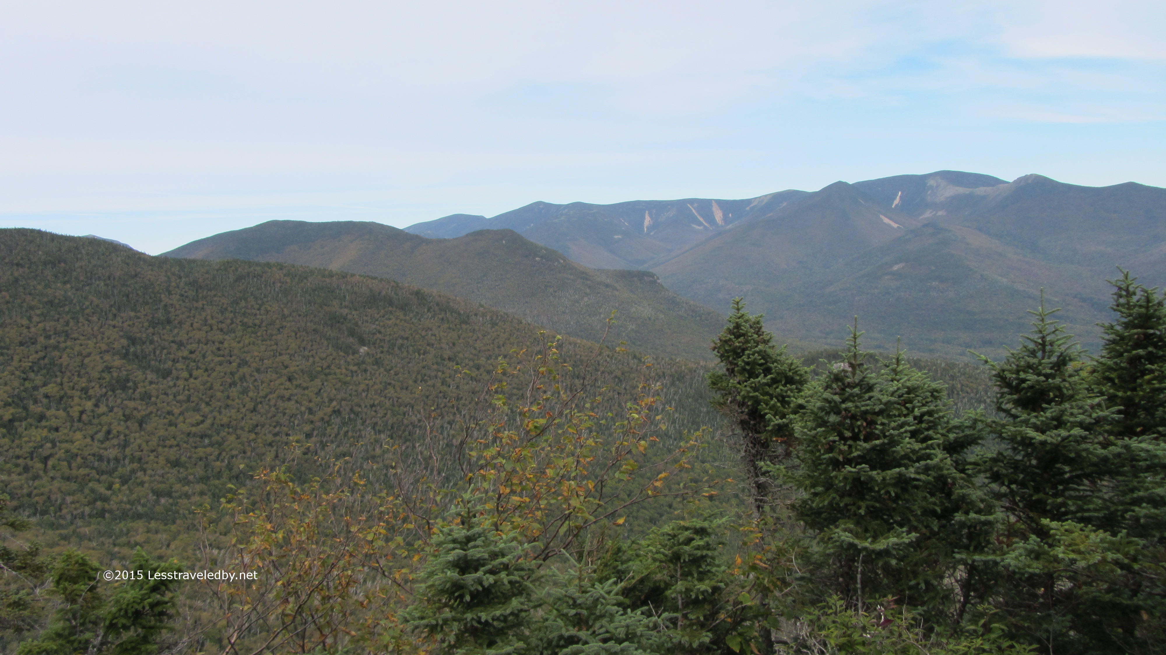
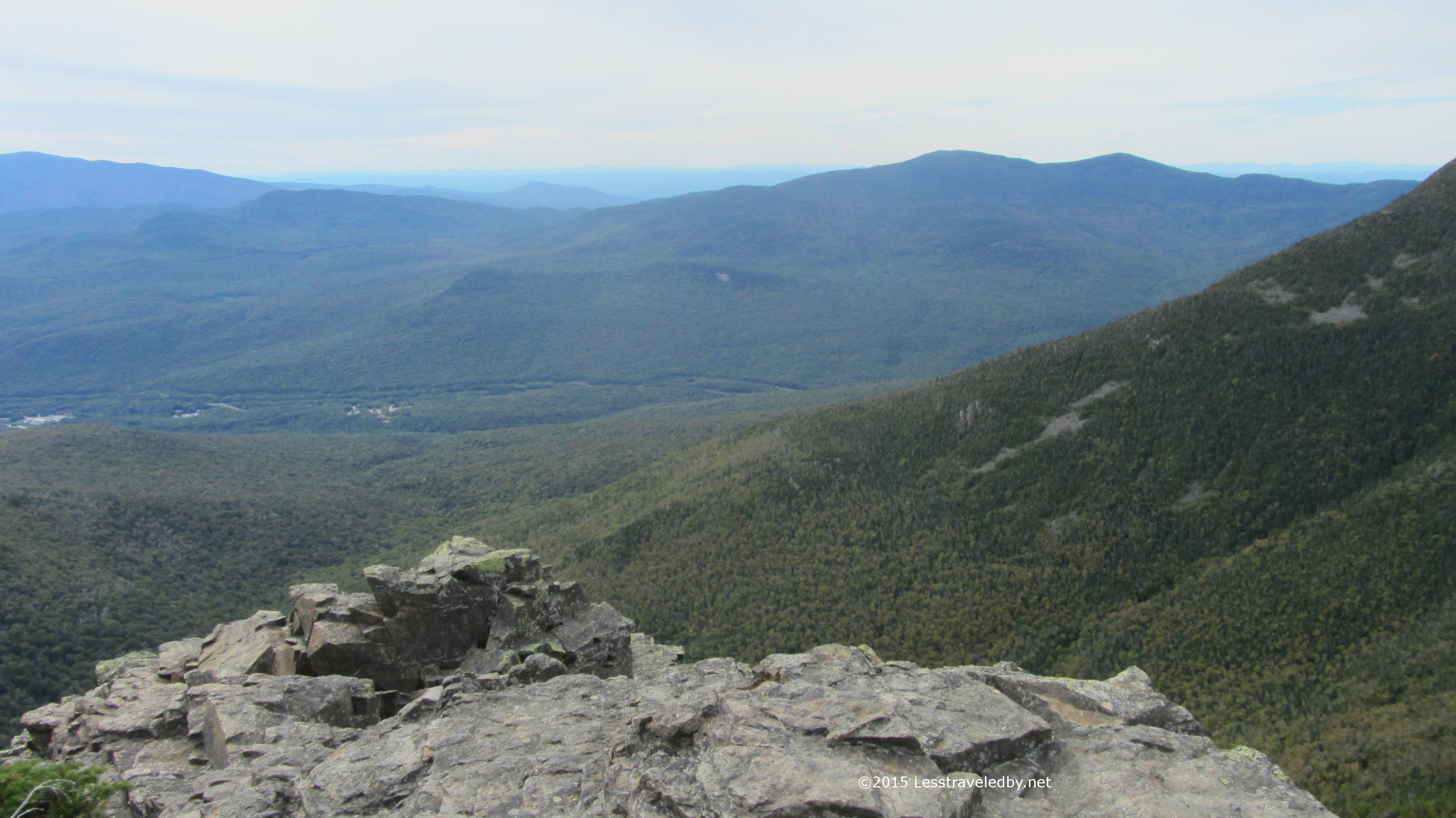
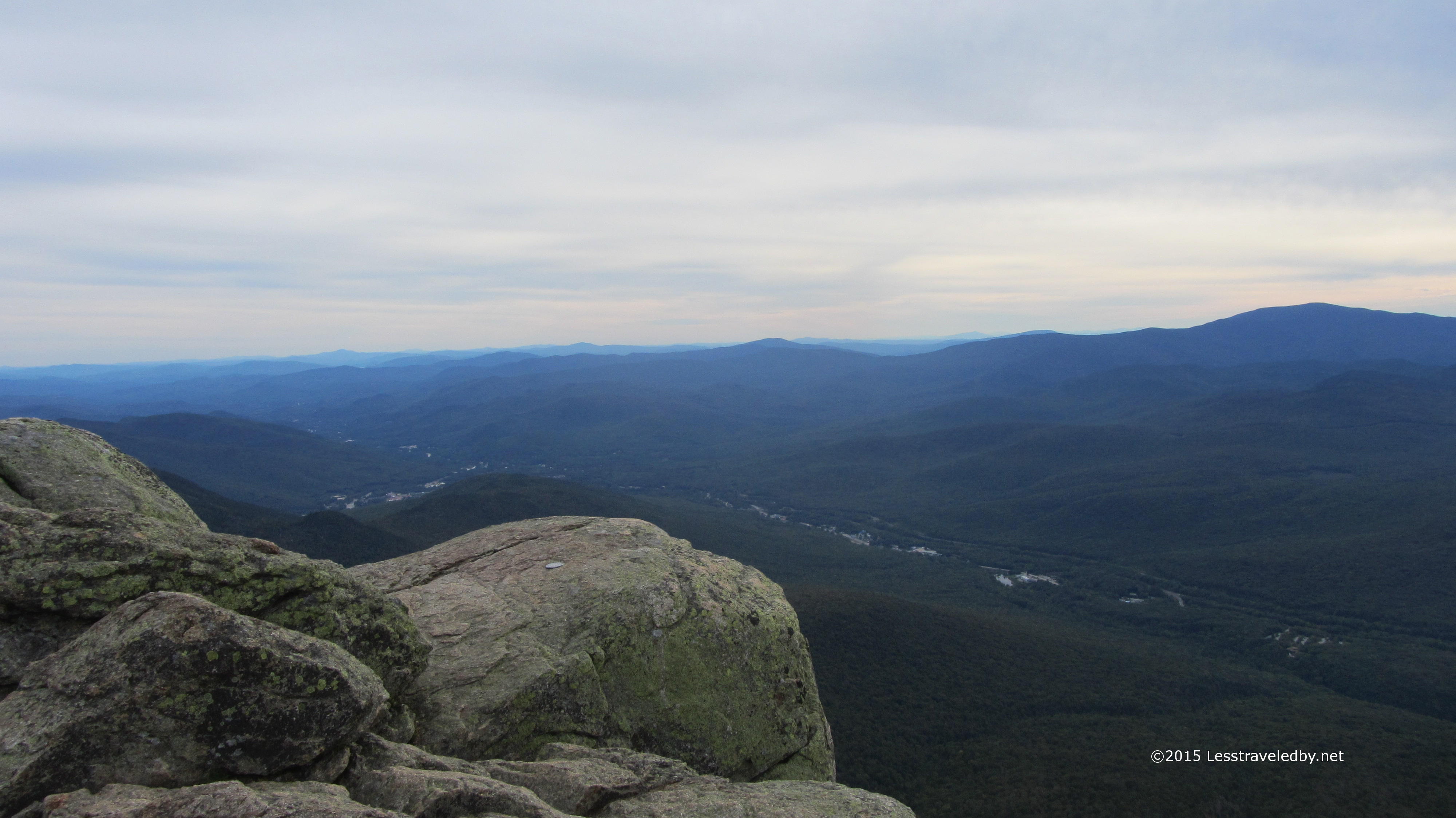
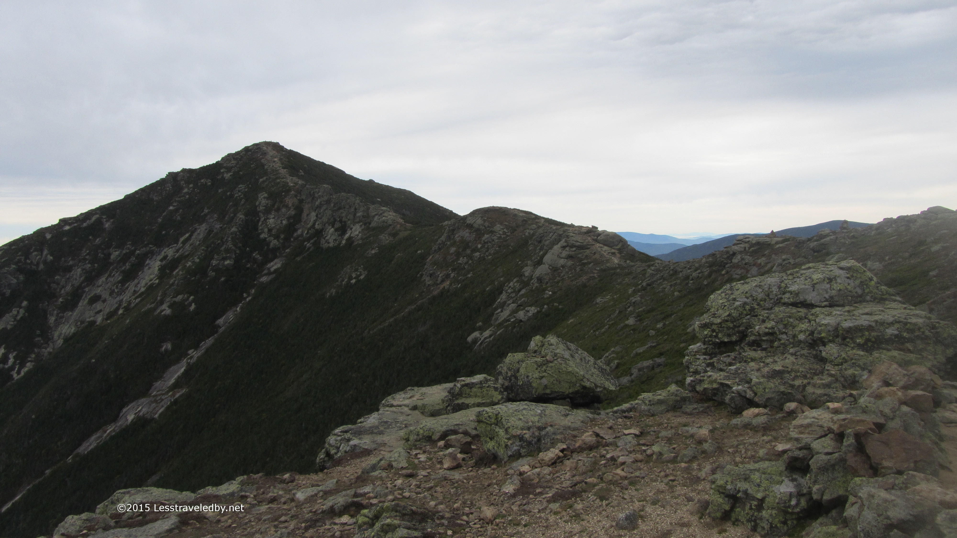
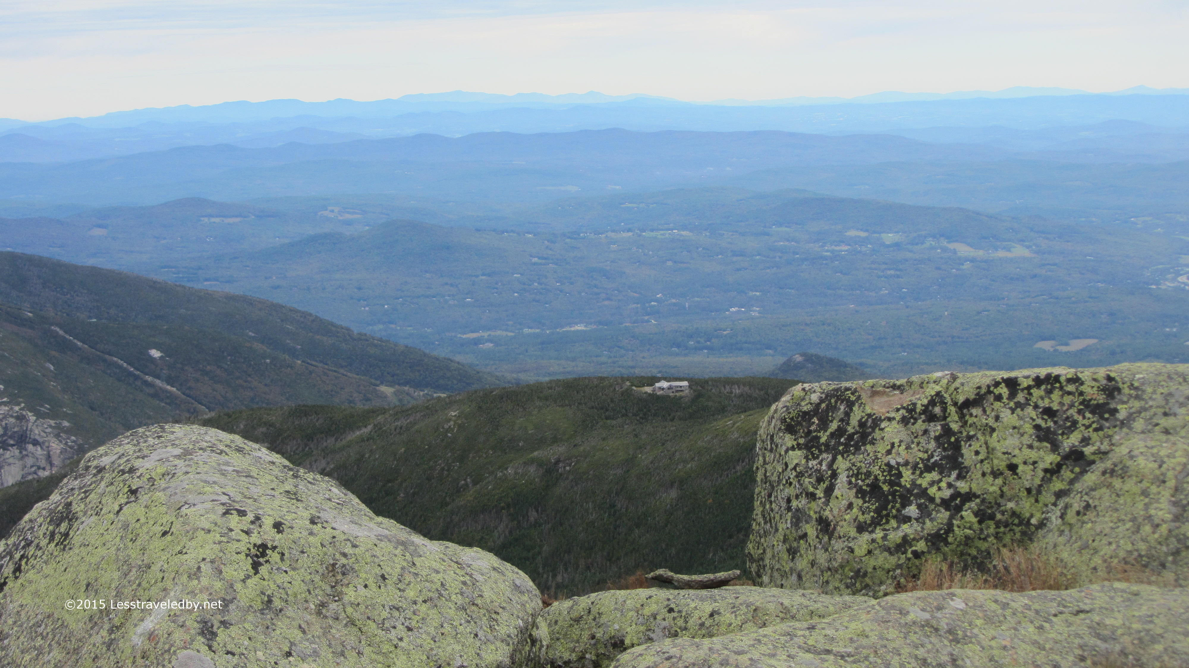
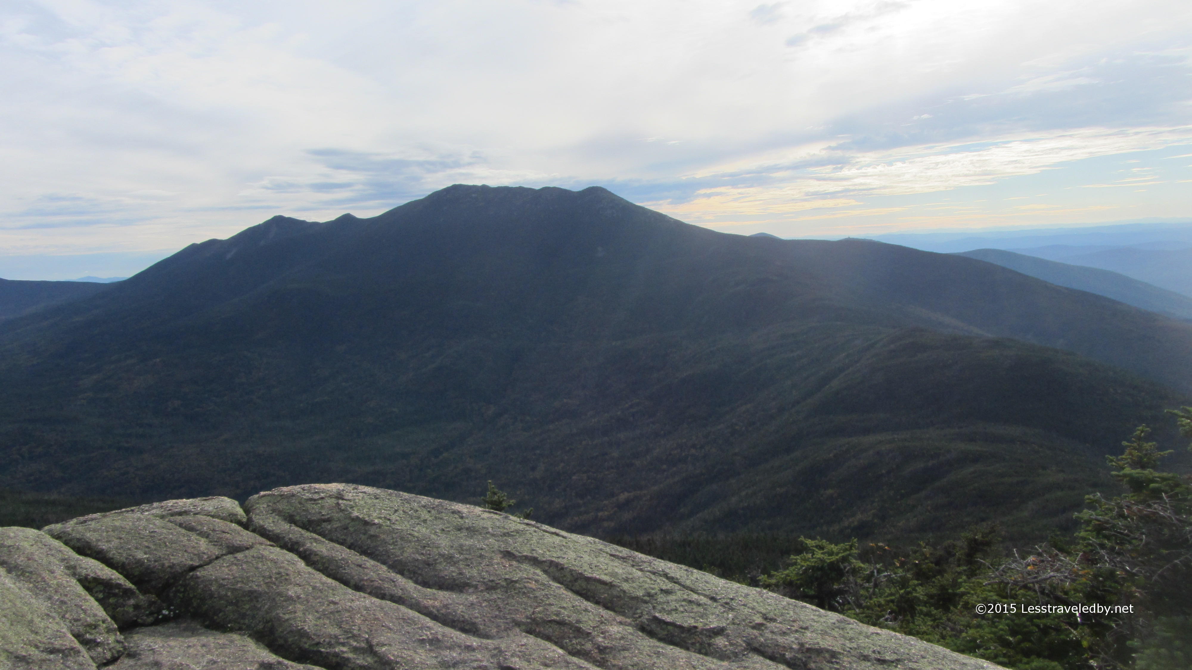
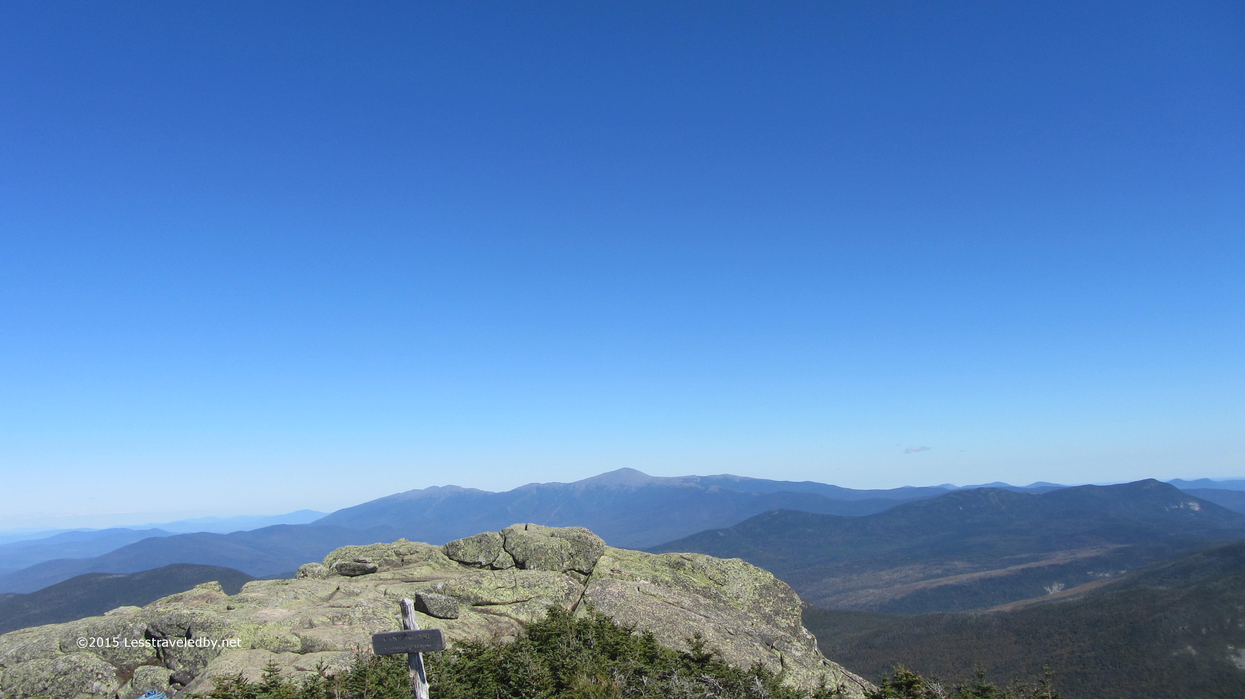
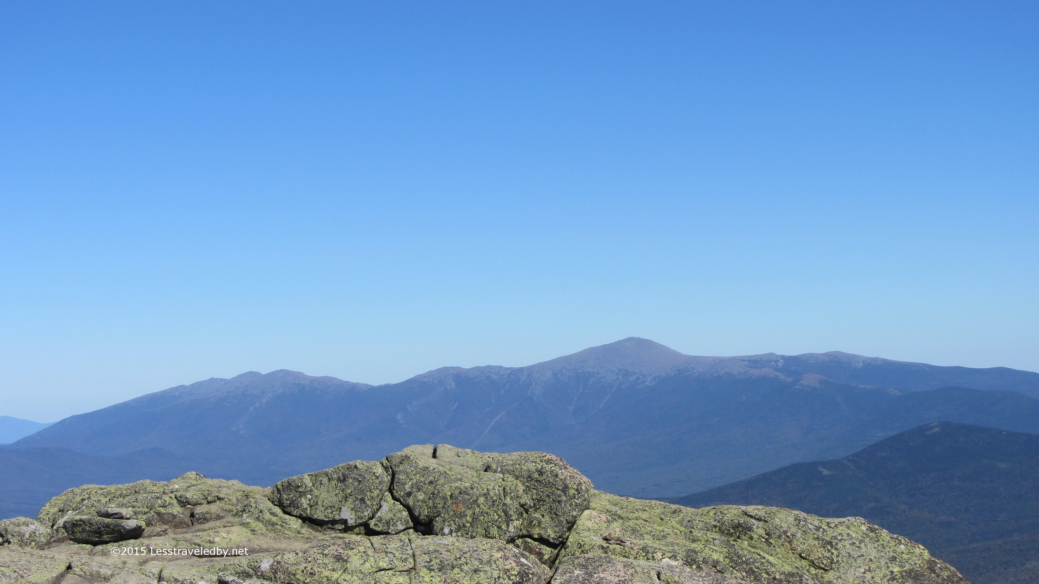
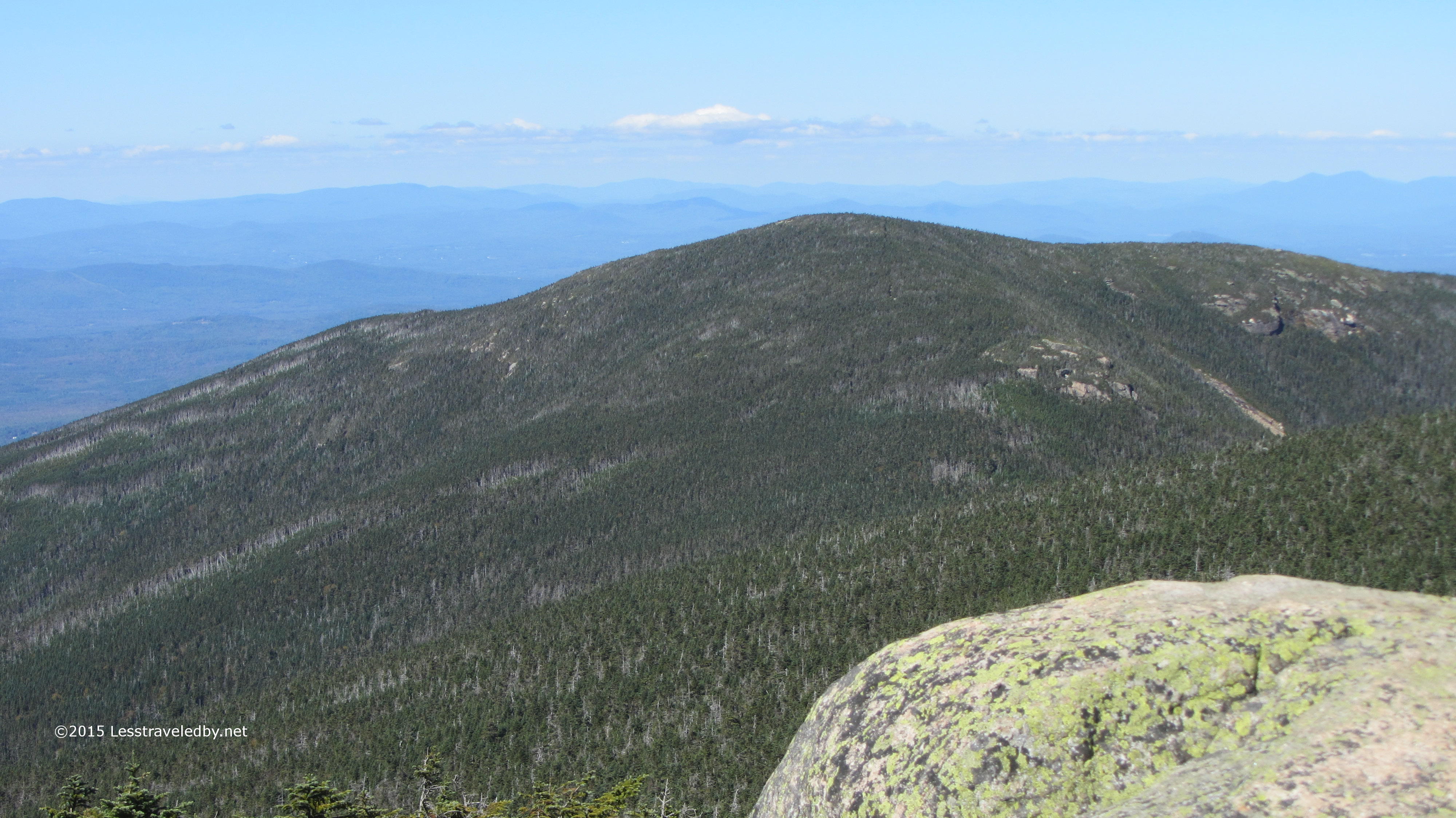
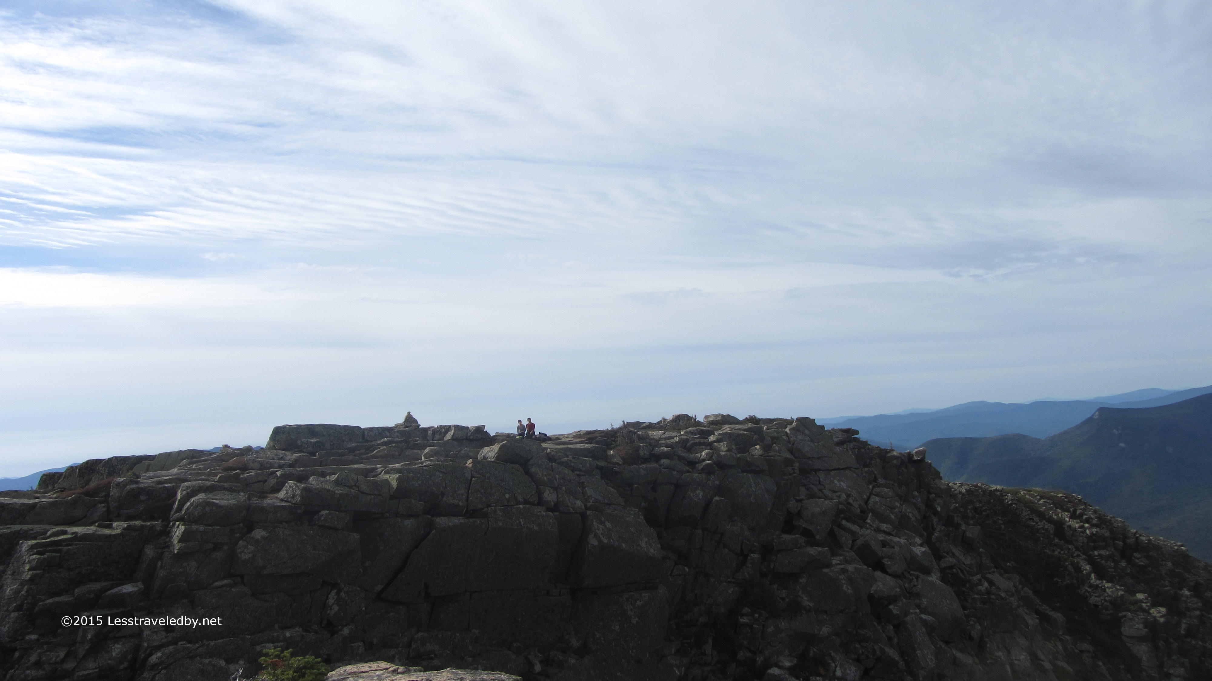
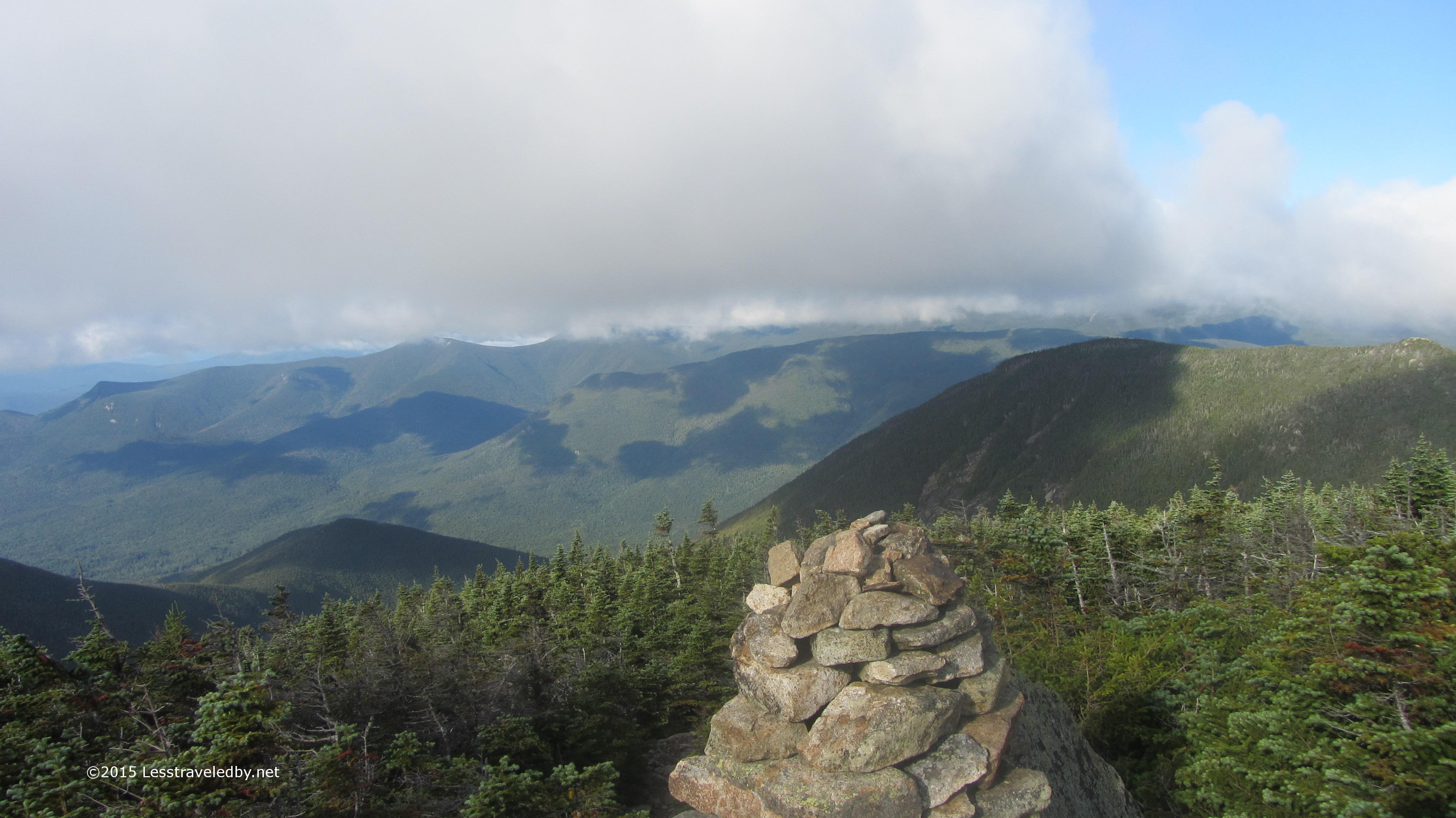
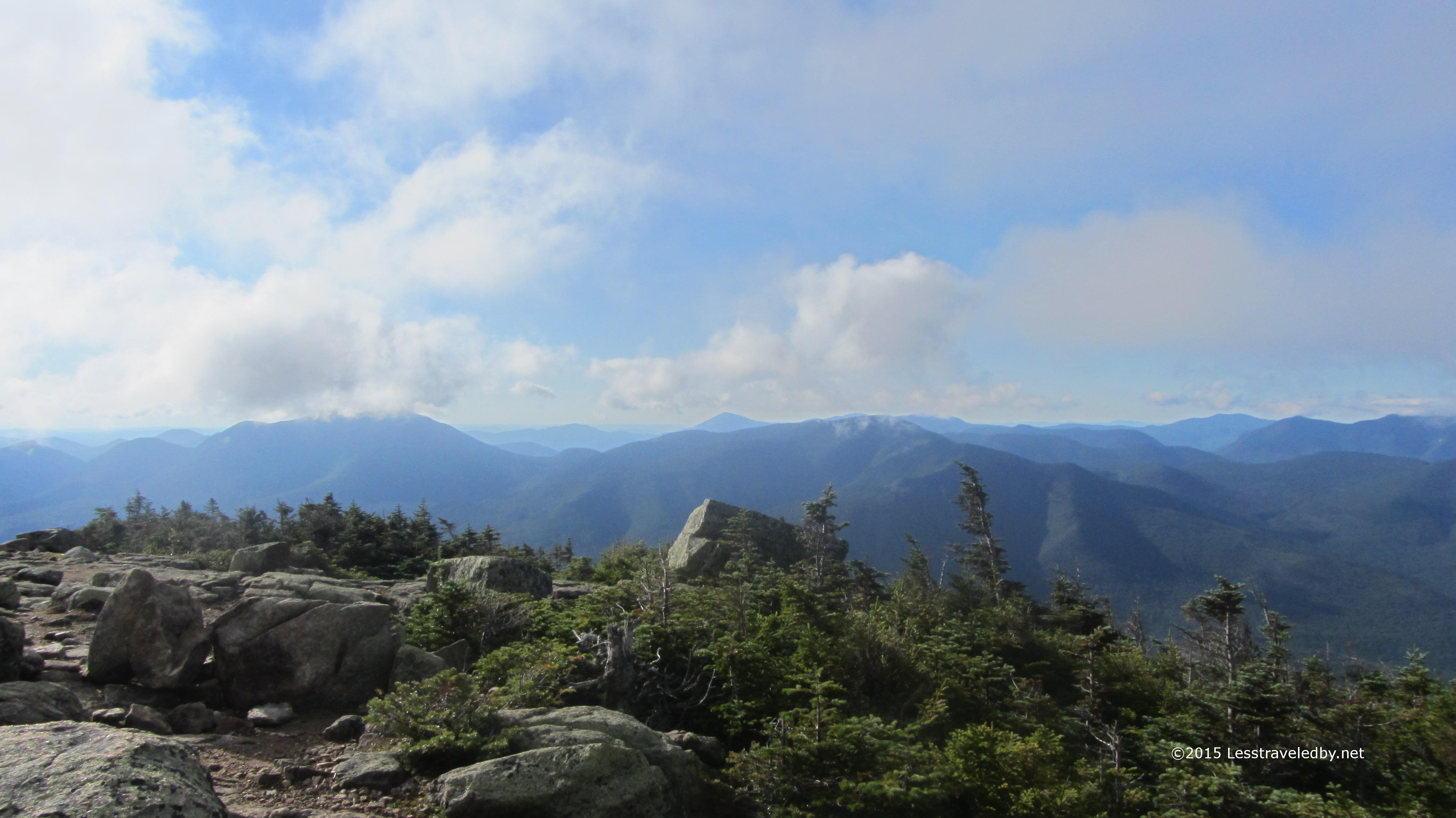
 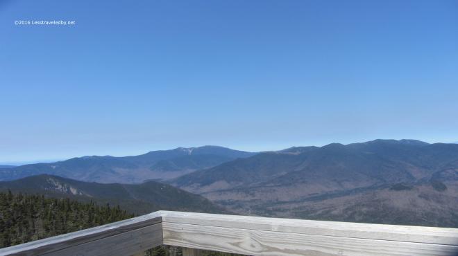 I love this perspective looking back over most of the Pemi from the top of Carrigain. So often I am somewhere else out there looking at this peak, I’ve even spotted the tower from the Bonds. I’m going to miss this place this Summer. Last year allowed me to really explore this place, but other trails are calling.
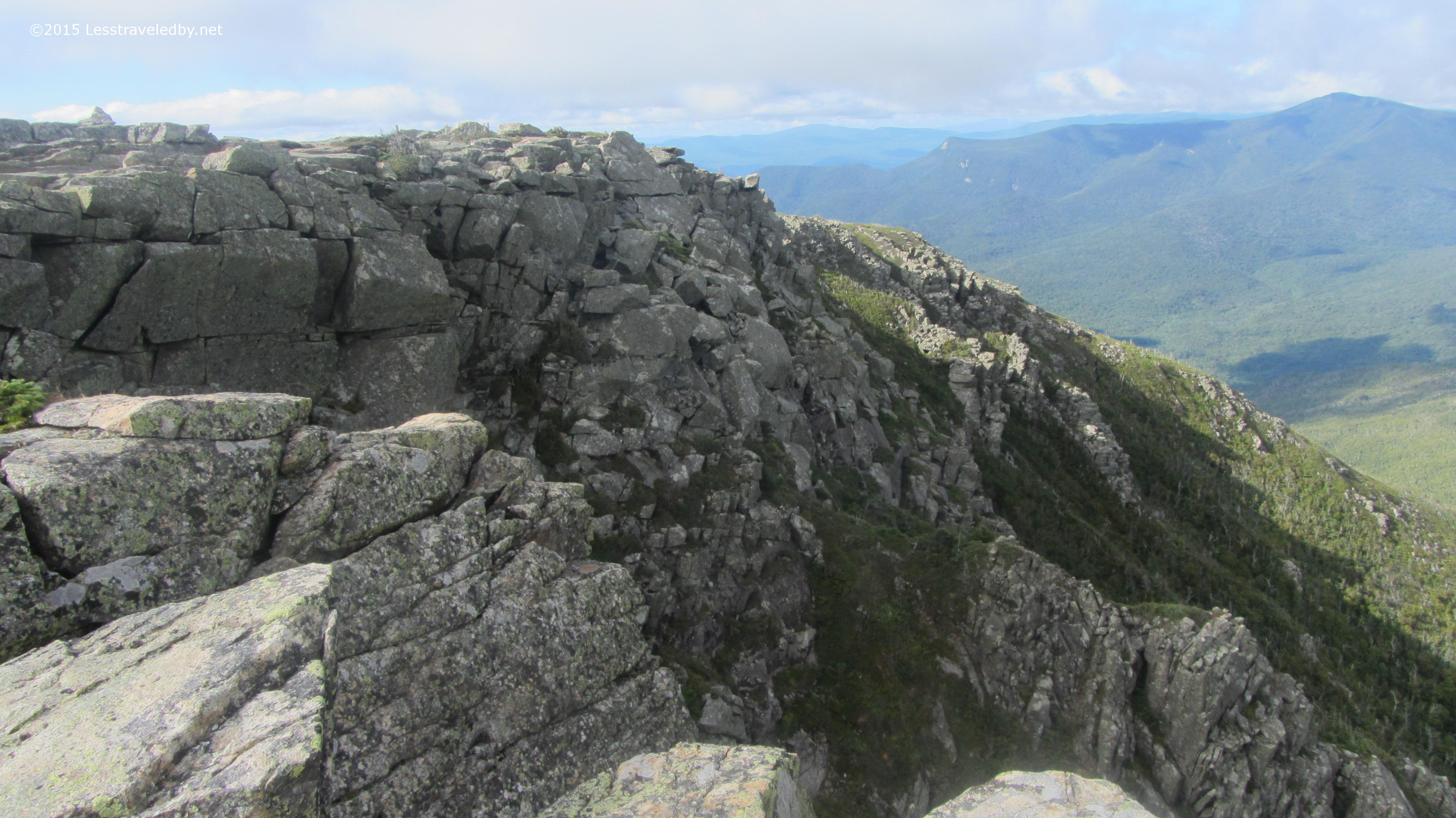
 Never having seen the other side of the mountain I’d planned this trip as a loop so I could do some exploring outside the wilderness before turning around and heading back in. The view looking back up at the tower as I descended Signal Ridge shows this side is pretty steep too, but the trail was much easier with switchbacks easing some of the vertical. There was still some serious ice and I had to put my spikes back on several times.
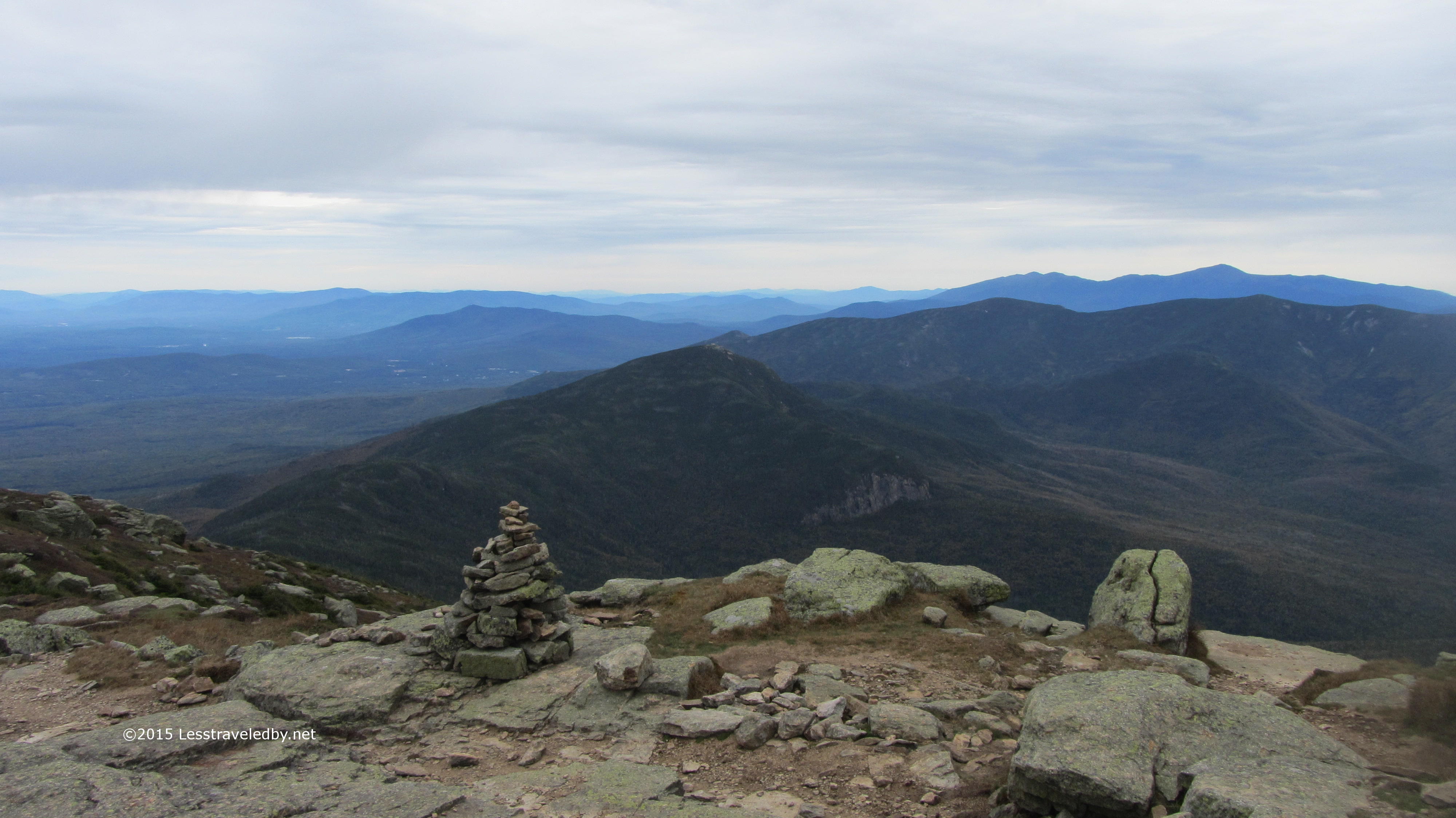
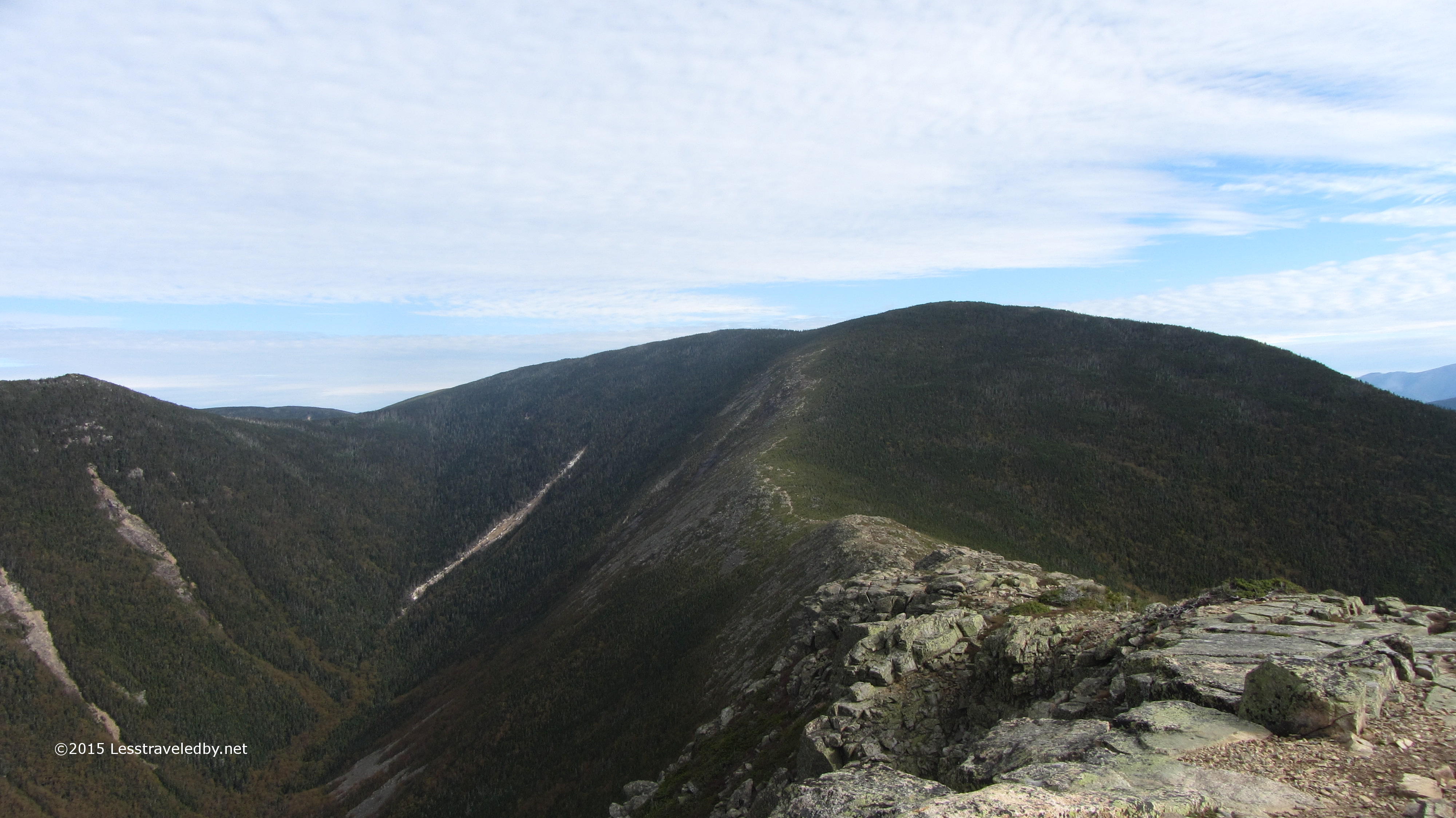
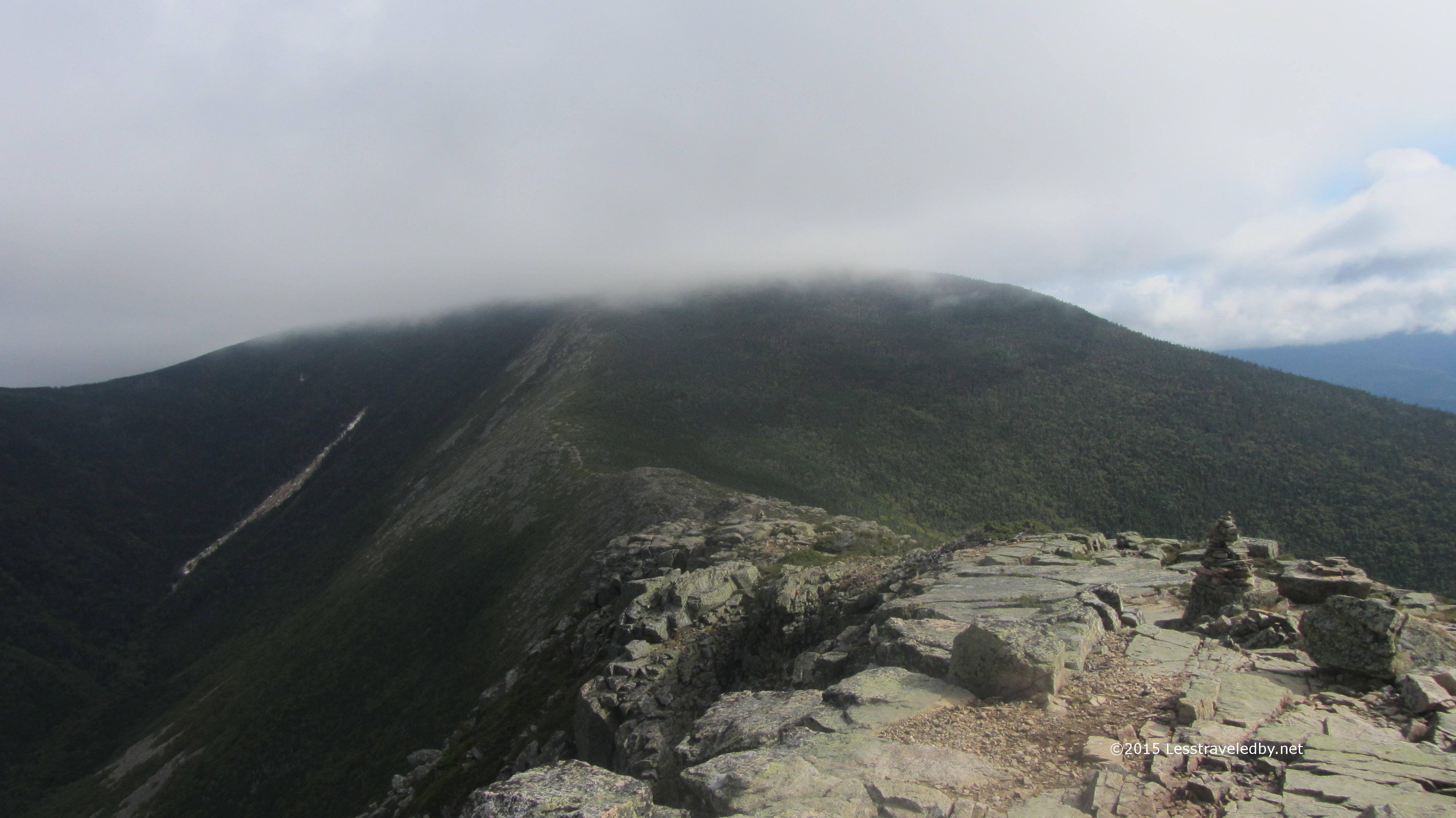
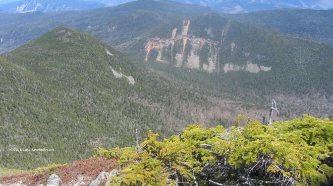 Looking down from the ridge I could see the notch far below. After descending to my right I’d be heading back to my left climbing up that notch. Seemed like a lot of work still to be done, but I comforted myself with the thought that I’d finally redline that missing mile or so of Pemi trail I needed on the Carrigain Notch Trail.
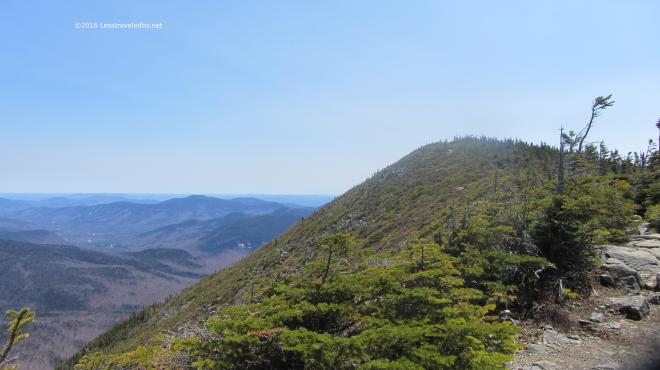 Besides it was a beautiful day for a hike and I was on virgin trail I’d never trampled before. So I’d hike down only to go back up. What else is new?
 These fancy signs make it clear we’re not in the wilderness anymore. Wide groomed trails with clear signage are nice, but I was glad to be headed back into the Pemi rather than out to the highway with the day hikers. Sorry to say the camera crapped out on me at this point so no more pictures. Thinking I may need a new trail camera, but if you’ve ever shopped for photography equipment you know the dilemma of deciding between spending too much money or buying cheap crap. If you’ve found a good middle ground solution I’d love to hear about it.
 The actual climb is about 2500′ via the Desolation Trail and the good or bad news is it is only about 2 miles to the top, depending on how you feel about climbing.
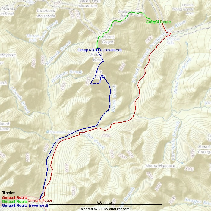
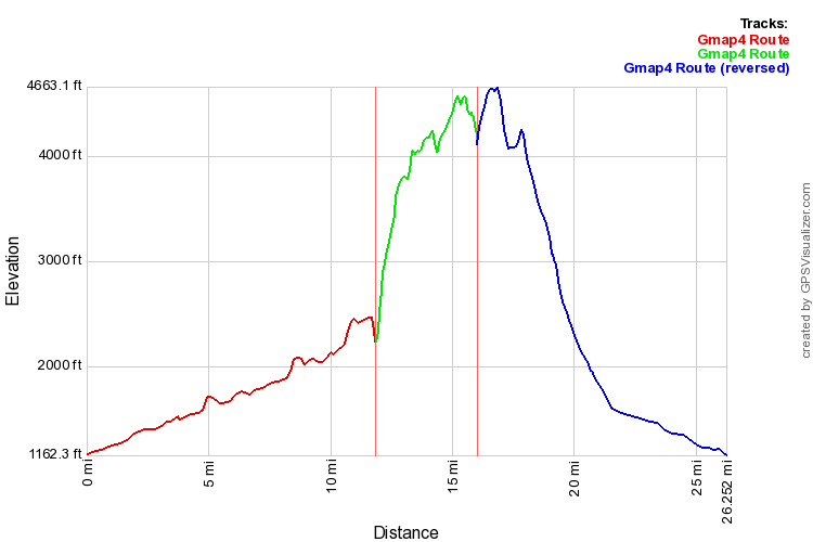
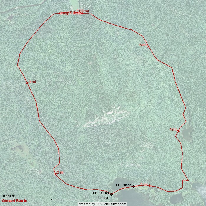
 Not sure the .gpx matched up correctly with the satellite picture in this image, but it gives you an idea of the route at least. Travel was counter clockwise around the loop. You’ll want to bring a real map with you if you go rather than relying on this 🙂
 Since my last trip there had been a pretty good snowfall. It had melted in the sunny spots down low, but there was still some lingering. It seemed odd because there was no snow at all at this elevation just a few weeks prior.
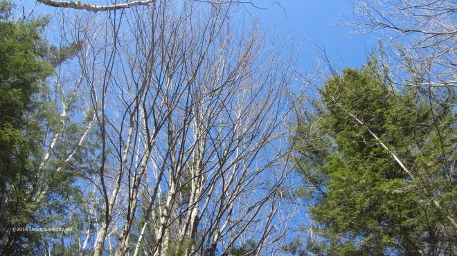 The sky was an amazingly clear blue. No haze or stray wisps floating about. Just that beautiful Spring air and sunshine, though the birch buds were being cautious. Can’t blame them for not wanting to be fooled after all the false starts Spring gave us this year.
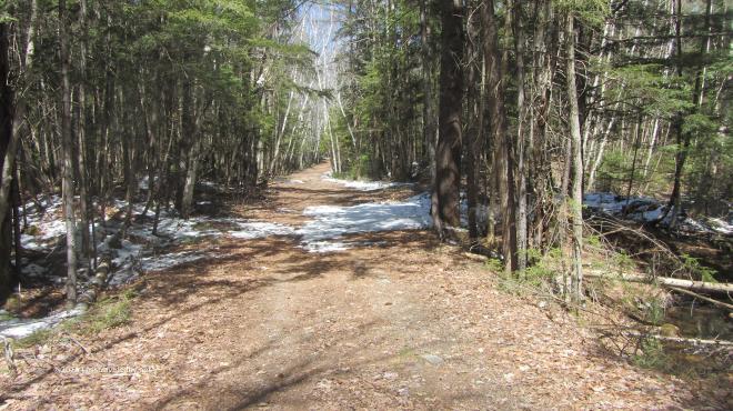
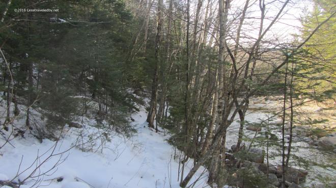 A littler farther on the snow was more than lingering on the Wilderness Trail. There were spots where it was six inches deep in the places where the sun was hard pressed to reach.
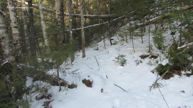 After the previous trip spent in spikes for much of the time it was nice to just bare boot my way through the snow. One or two minor slips, but I never felt any need to reach for traction.
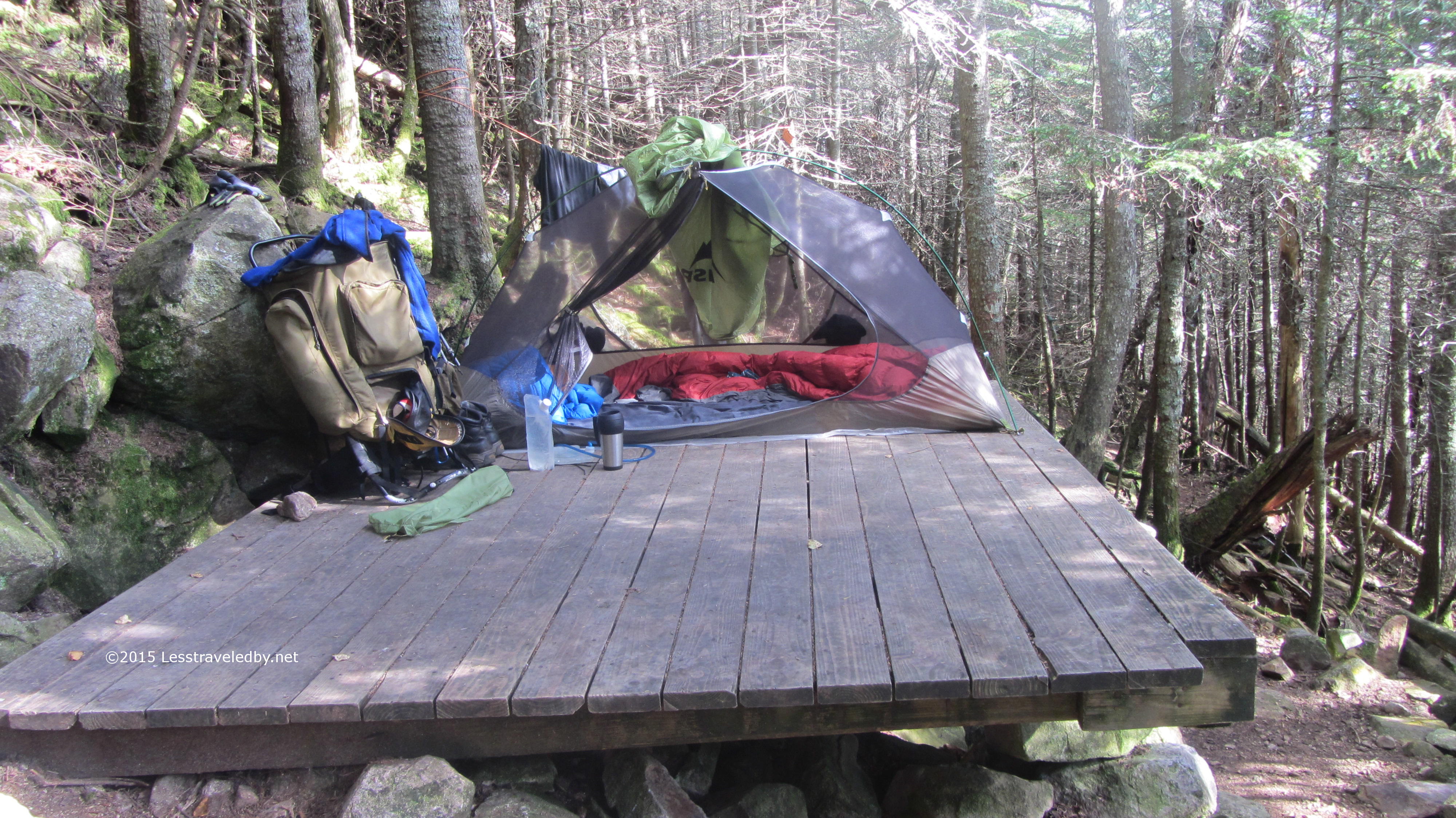
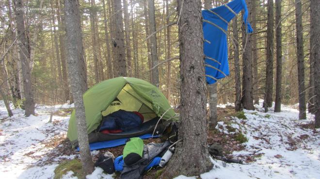 Home sweet home! The chilly nights on the early April trip made me decide to bring both quilts along this time. I was super warm both nights as this combo is good below zero and the nights were only around 20°f.
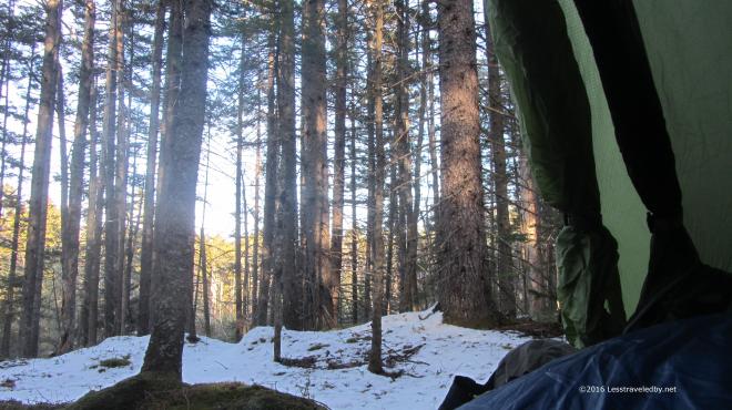 The days were getting longer and it was still quite light out when I decided to move the party indoors. I sat there for a couple of hours with my legs under the quilts and watched the light fade.
 Morning came with another clear sky. I enjoyed breakfast and coffee from my perch above the brook below. As the sun and coffee warmed me I began to shed layers and pack up.
 The Carrigain Branch crossing was amazingly low for April. Most years I’d be worried about crossing with it filled from snow melt, but with no snow there was no melt.
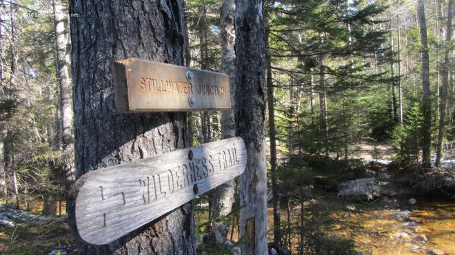 The Stillwater crossing seemed to be missing a few key hopping rocks this year even with the low water level. I eventually found my way across and headed up towards Shoal Pond.
 There are some interesting growth patterns along this section with older and newer generations of forest competing as they recover from the clear cutting done here years ago.
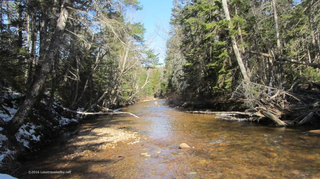 It was a bit cool following this notch up towards the pond and there were multiple crossings of Shoal Pond Brook to deal with. The sun was able to reach down into the open areas, but the shadows were filled with snow.
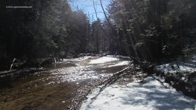 The light had that special Spring quality to it; Something about the color tells the brain that even though you see snow Winter is not coming back.
 The icy crossings were a definite challenge though. The water wasn’t all that deep, but you’d hate to fall in. It was hard to tell which rocks had ice on them so I took to tapping with my stick to check before making my next hop.
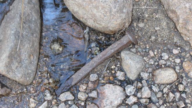 Not certain if this spike came from a bog board or the old logging rail lines. Either way it counts as an artifact now so I took a picture without disturbing it and moved on.
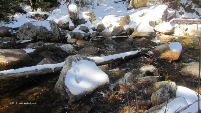 Did I mention the ice water crossings? This area took me some time to navigate as the first couple of attempts ended mid stream with only questionable next steps.
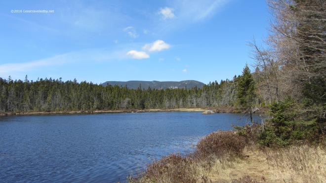 Finally I reached Shoal Pond where there was no sign of ice. I stopped for some serious snacking and to soak up a little sun. By now the temp was pushing 40°f but it felt nice be out of the trees for a while.
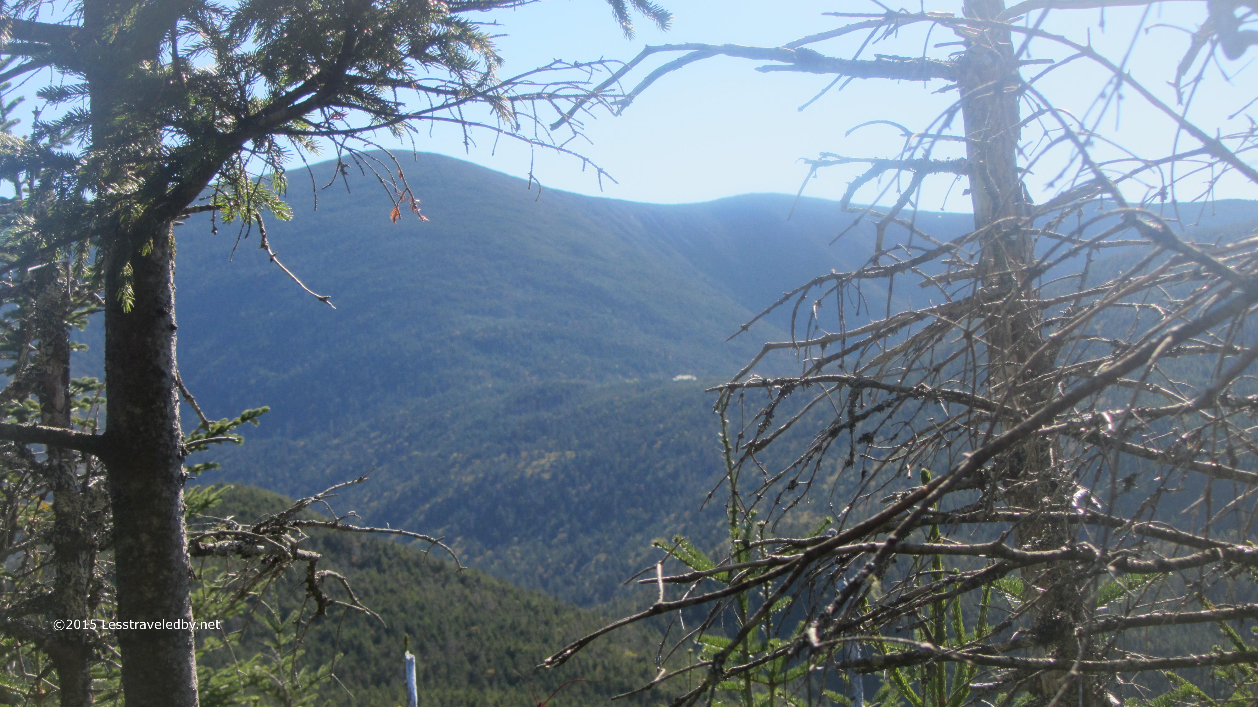
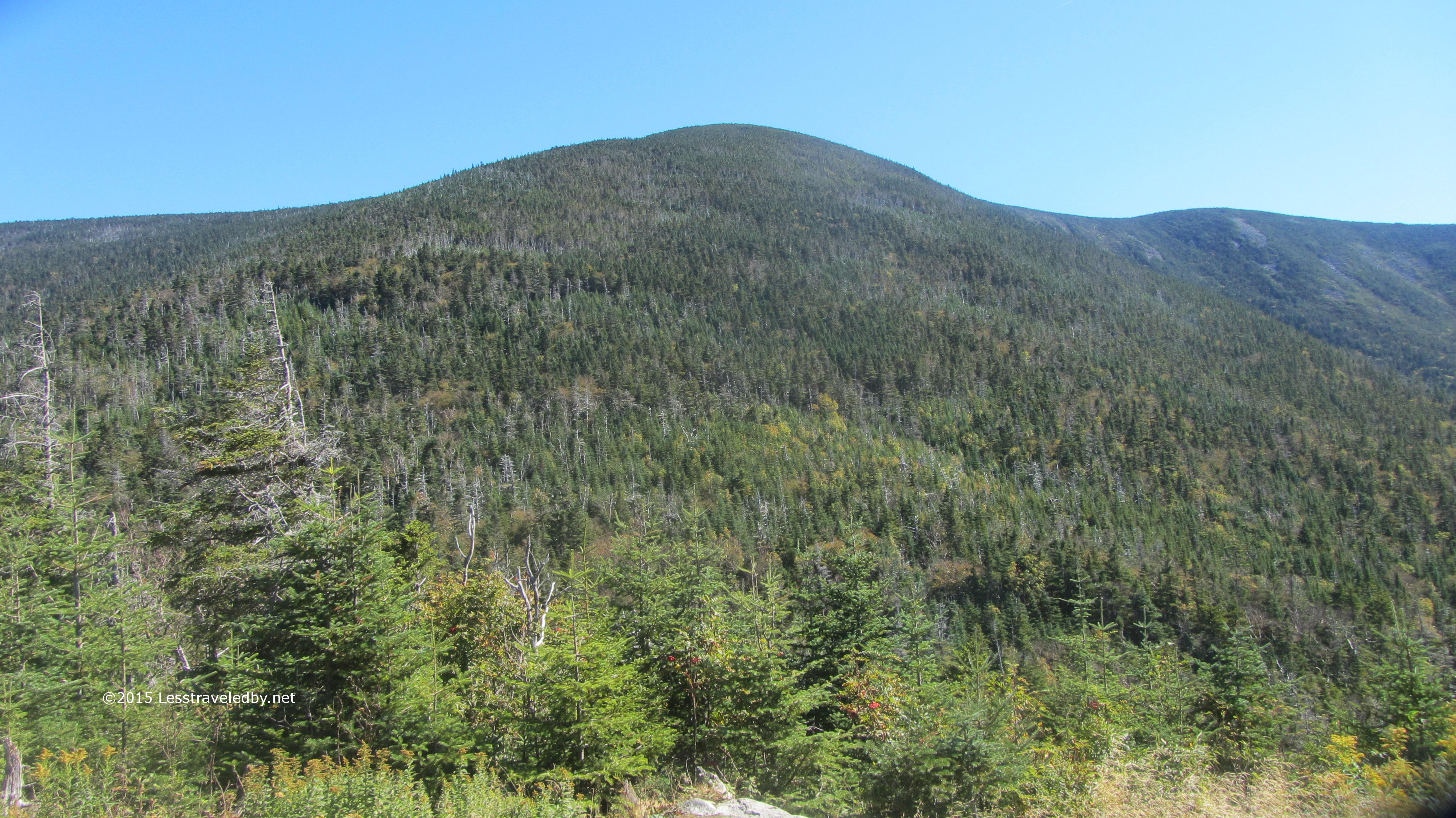
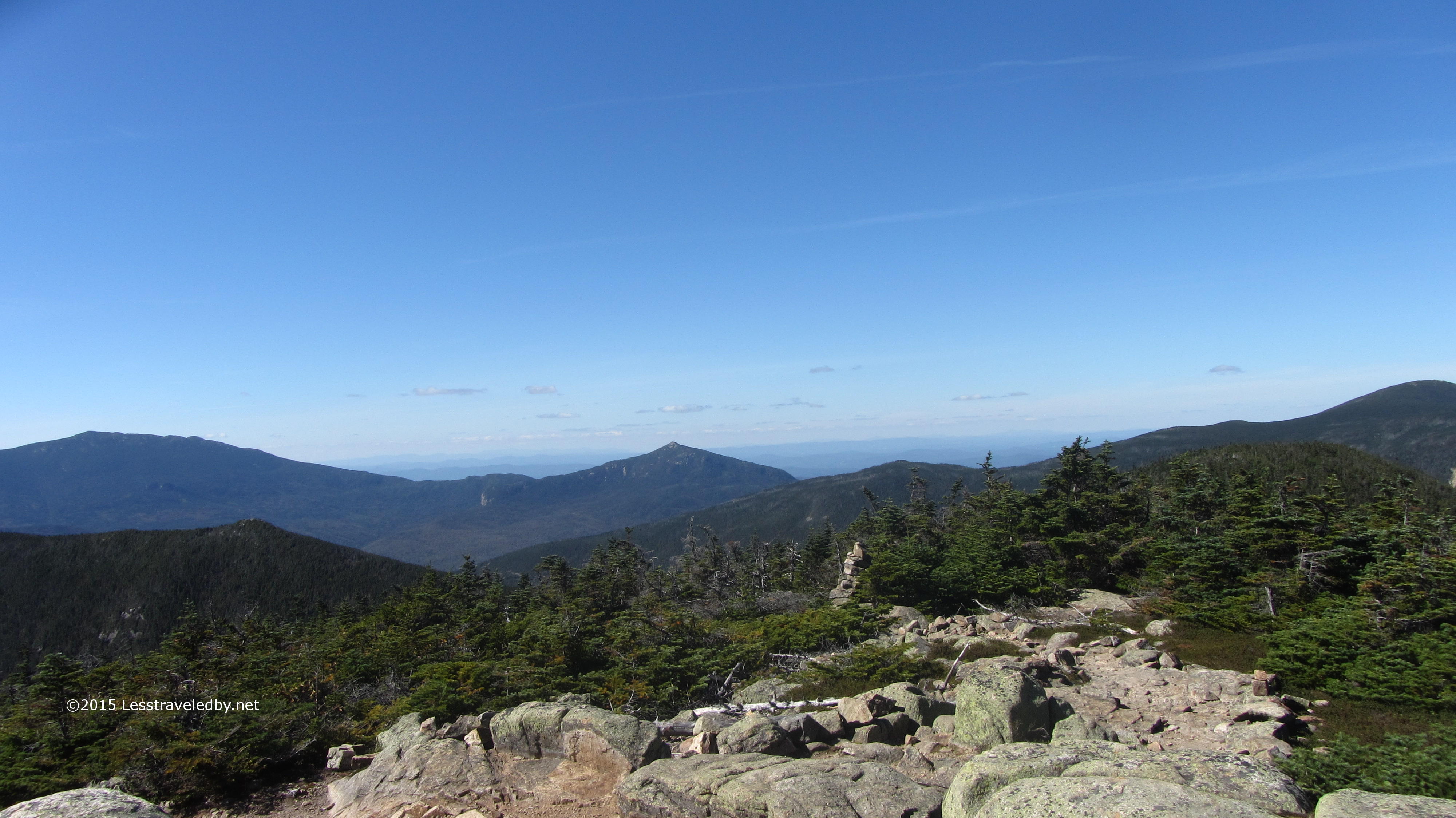
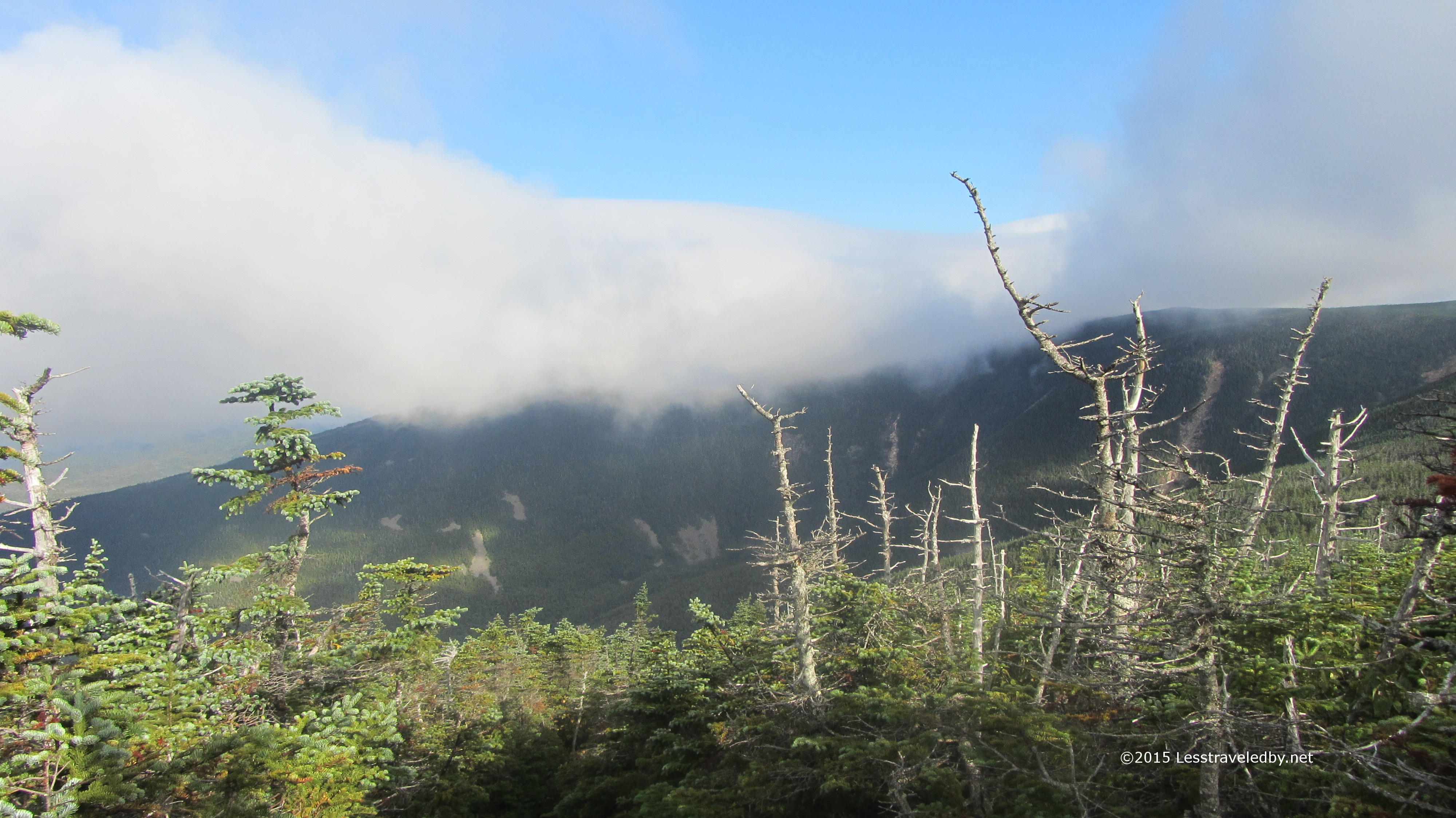
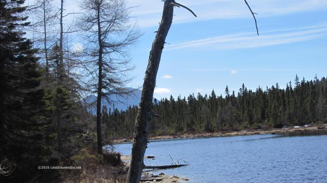 Looking back towards Stillwater gave a nice view of Carrigain beyond. From here it looks quite dramatic and it is a bit hard to imagine the Desolation Trail going pretty much directly from bottom to top. (Insert ominous foreshadowing music here…)
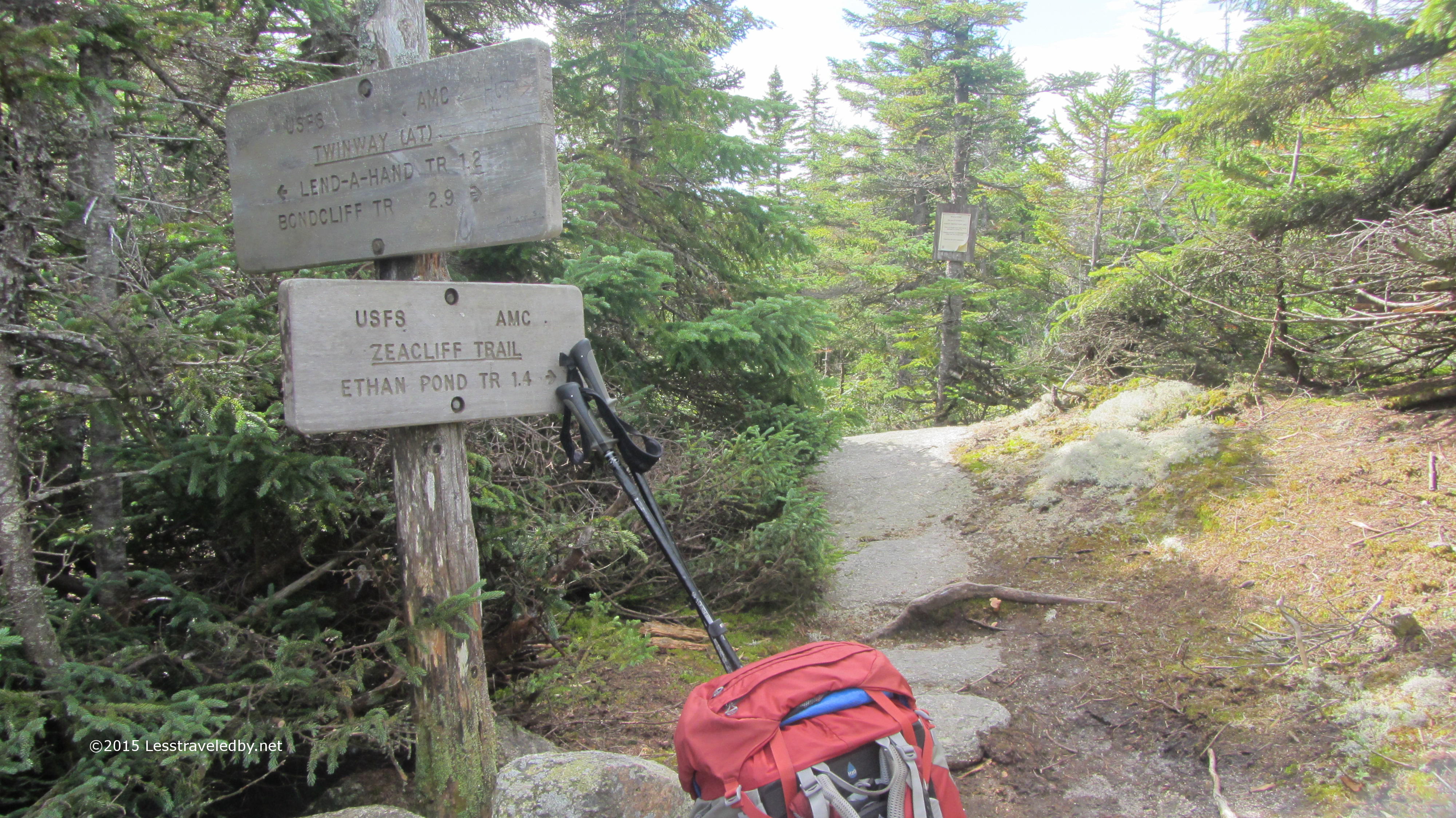
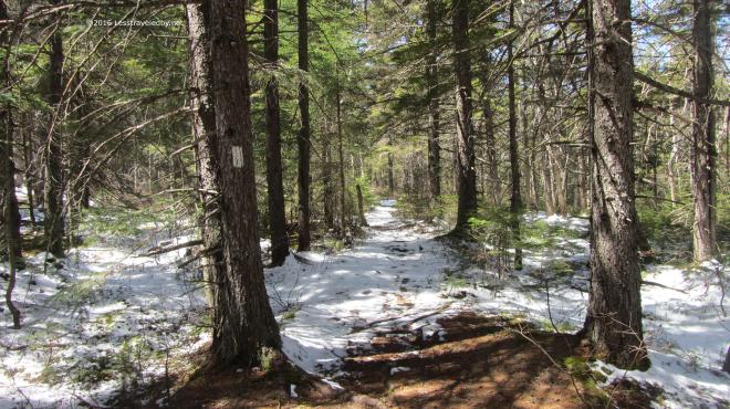 Soon after the pond came the Ethan Pond Trail intersection. I only had a half mile to enjoy it, but this flat, wide section is a rare thing of beauty in the White Mountains.
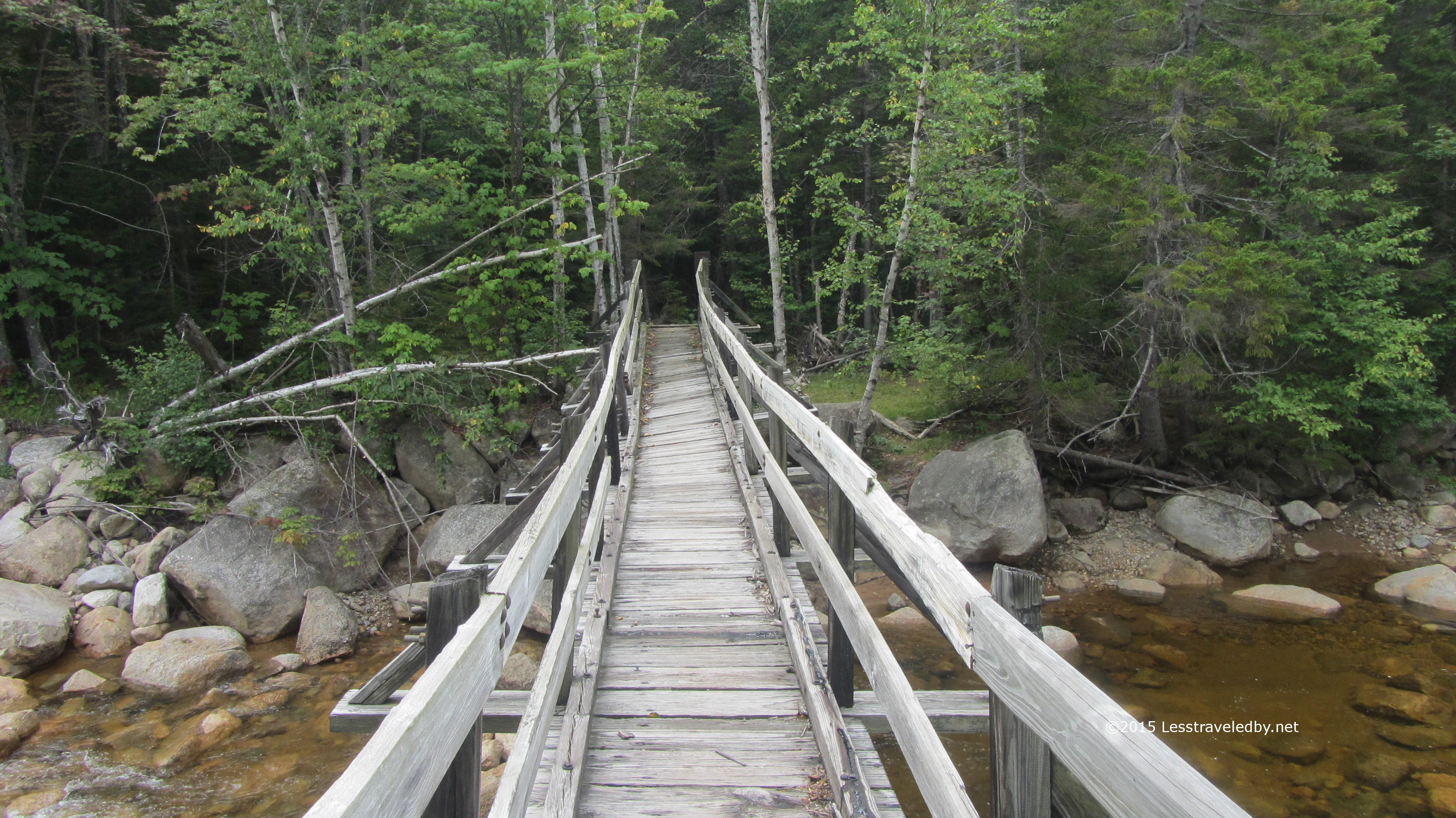
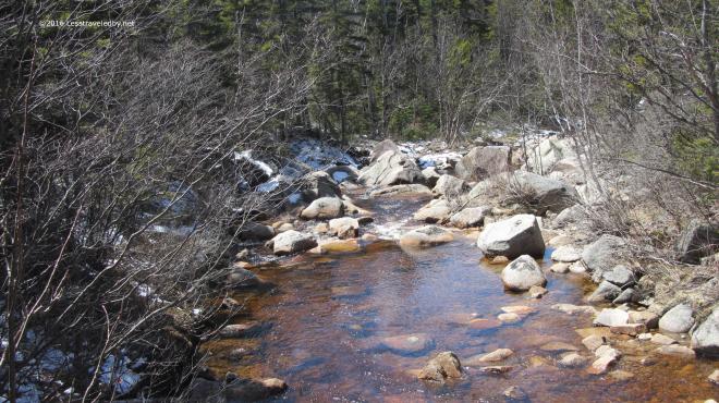 This view is from the footbridge looking down stream towards Thoreau Falls. After all that time in the wilderness it seems like such a luxury to come upon this little wooden bridge and I always enjoy the crossing.
 Soon it was time to leave the well manicured Appalachian Trail behind and then it was on to Thoreau Falls. The fresh snow since my last visit gave it a very different look. I spent quite a while here soaking up sun, soaking up snacks and of course taking too many pictures.
 I never get tired of this spot. You can’t camp here or everyone would and it would be ruined I’m sure. So you stay as long as you can and take as much of it with you when you leave as you can carry.
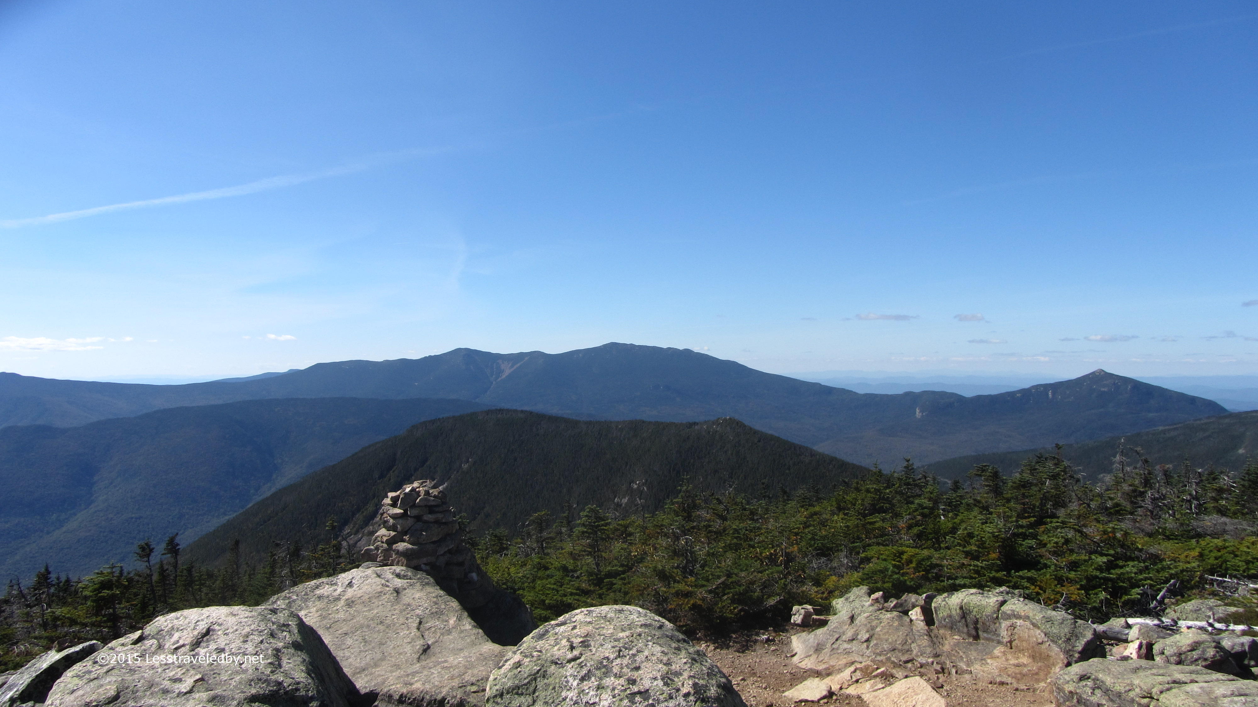
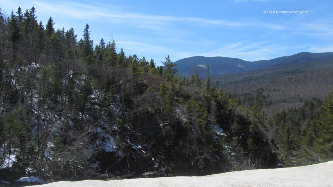 This view towards the Bonds never gets old. Snow, greenery or Fall colors, it always makes me stop and say “Oh, that is pretty!”
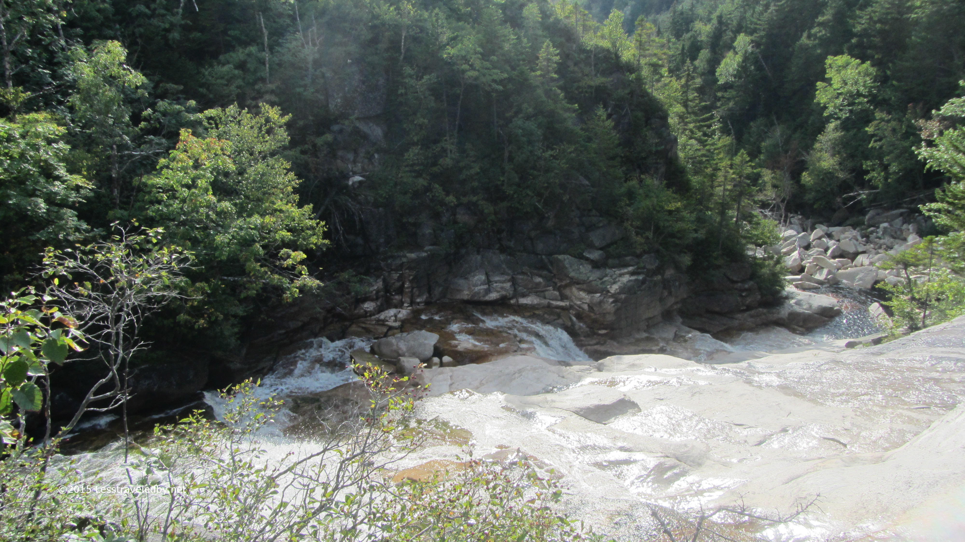
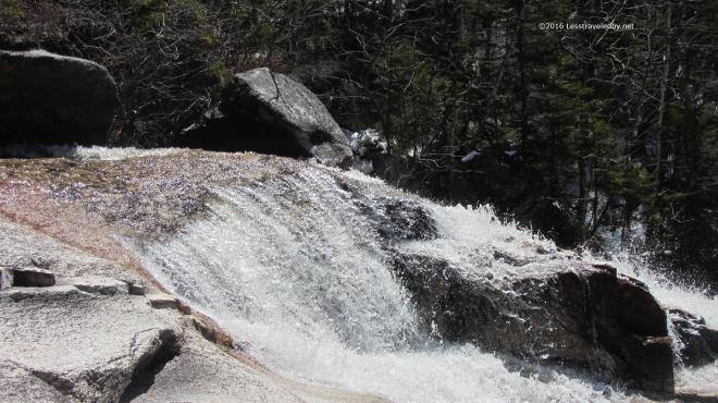 This time of year with at least a moderate flow the falls were pretty as well. Much of the year they flow more than fall, but they had a bit of a roar going this time.
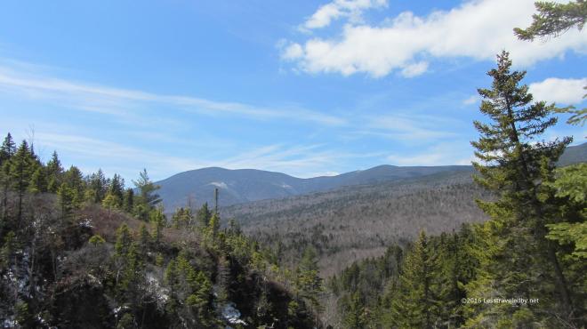 One last look and then it was time to move on. I was a bit concerned about following the trail as the snow was pretty thick in this area and there had been no foot traffic. Then, as soon as I leaped across the falls I was amazed to find a fresh set of footprints in the snow. Someone had walked out to the falls and turned around so they’d done the hard work of trail finding for me! Wilderness trails come without blazes so when you can’t see the ground due to snow or leaves wayfinding can be a real challenge. I was really stoked about these footprints!
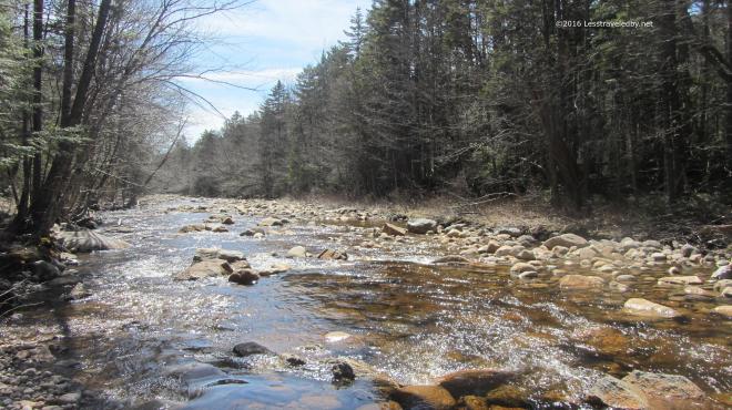 Late afternoon along the North Fork. Another few miles on and I set up my camp for the night. I got in early for a change and had a long time to enjoy dinner, soak up some extra water and just relax and watch as the light faded. I was just dozing off in my tent as darkness began to settle in when I heard something that made me sit up. It started out like a coyote but then faded with more of a howl than the coyotes I knew out west. It called three times in quick succession and then fell silent. Not sure what was out there, coyote, banshee or hellhound I opted to zip up the bug net on my tent. I’d planned on sleeping with it open to increase air flow and cut down on fly frost, but decided it was better to close it in order to prevent whatever was out there from licking my face while I slept. As any good woodsman would, I fell asleep a few minutes later without a care as to what demon stalked the night 🙂
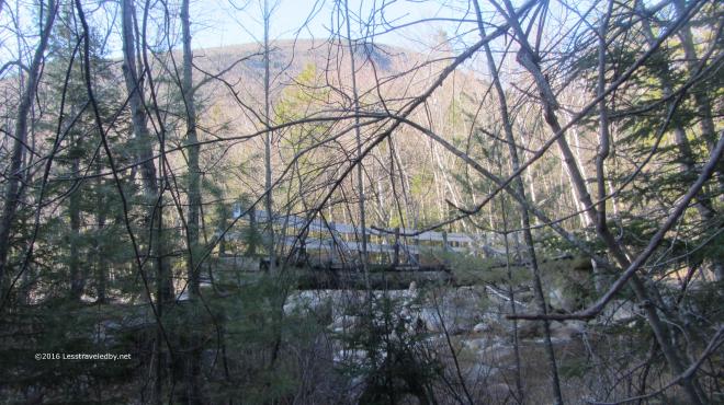 Morning dawned chilly again, low 20s so I fueled up and hit the trail. Soon I reached my old friend, the Thoreau Falls Trail bridge. I know they want to pull this bridge and they don’t want to replace it, so every time I pass through I appreciate it while I can. With it gone I’m not sure I’ll be able to come this way any longer and that makes me sad. This river is nothing to mess with though even above the North Branch.
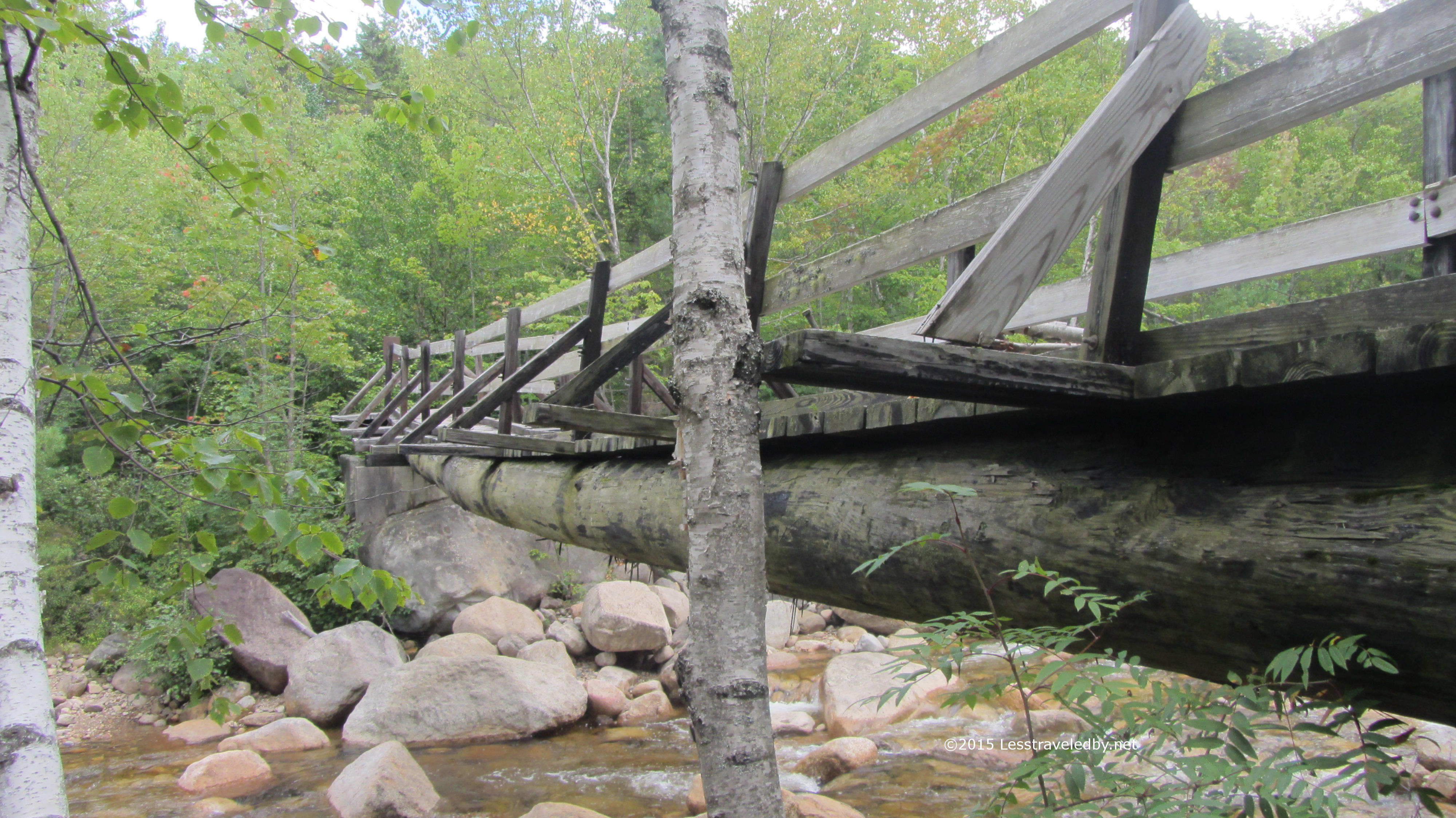
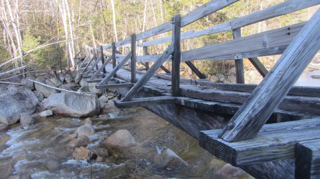 Walking across this old beauty is even more magical than looking at it. The tilt from the broken stringer varies as you cross and there is just a hint of a wobble in the middle. I think they should build a modern duplicate to replace it with that same twisting sag and some old weathered boards under foot, but I don’t think they care what I think heh.
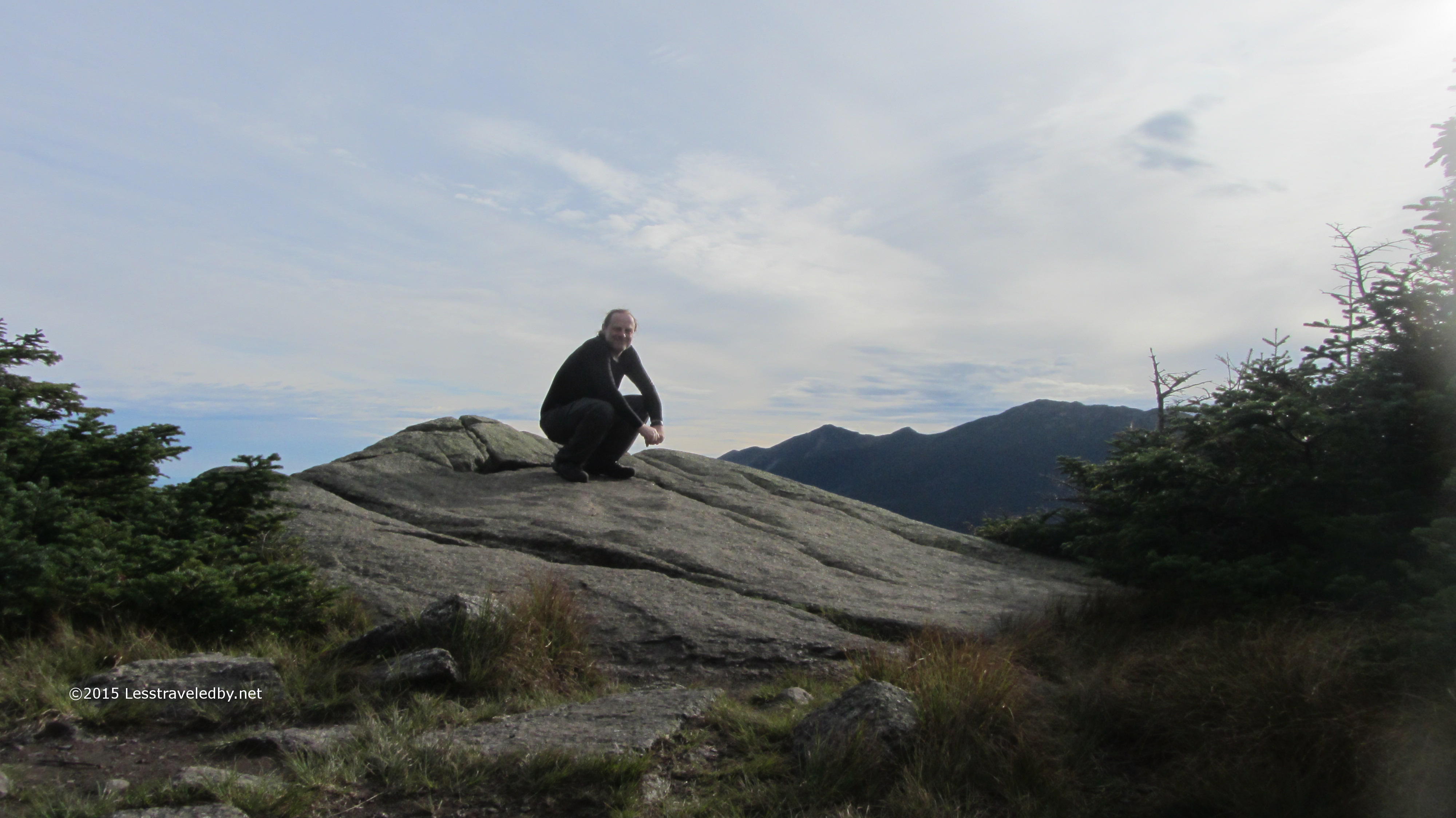
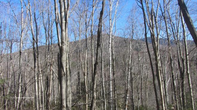 Snack break at the Cedar Brook/Eastside/Wilderness intersection. The Bonds and Guyot visible through the leafless birches. Always bittersweet to be here…almost time to go get that cheeseburger, almost time I have to go home, always really happy to be done climbing this hill in either direction 🙂