A year ago I started this site as a form of therapy to help me get through trail withdrawal during the long winter months. Sure I was hiking and even camping out in the snow, but lacking the right equipment for extended cold weather adventures I definitely had too much time on my hands. I wasn’t sure exactly what my plans were for the site then so I was able to let it form naturally.
During those first few months there were lots of posts, then thankfully the snow melted and the trails dried so posting became a rarity. Last year was definitely a year of expanding adventures out on the trails. With a theme built around an intended September unassisted Long Trail thru hike I spent a lot of time reworking gear, nutrition and the type of trails I was hiking. Having my knee blow up coming down Zealand changed things up mid-summer and the rest of the year was a series of tests to see how well it was working. The LT plan went out the window, but that left room for some other adventures.
Some of them brought troubles of their own, but all of them, the family trips and the solo ones, brought such beauty and happiness into my world that even the worst difficulties are nothing to complain about. Ultimately that is what I see this site being about; It’s all so dang beautiful that I just have to share it with people. If it inspires others to get out there or to at least do something to bring adventure into their lives that is great, but if not then at least it remains good therapy for me. Something to carry me over the times I’m not out there and to vent some of that joy I find when I do get out there.
One thing that has surprised me over this year is how quiet blog readers are for the most part. Based on the likes and views statistics I can tell there are people out there actually reading my stuff, or at least looking at the pictures heh, but few people have responded via comments. Personally I love to respond to what others are posting whether it be questions, informational or just appreciation for what they’ve said. Considering bloggers by definition are people with something to say it just strikes me as odd that they don’t seem to interact more. I guess I’m saying, be it here or on other blogs you read; Don’t be so shy, speak up if you have something to say!
When I started the site I said I would give it a year as an experiment and see if I wanted to keep going. The renewal notices came in last month warning me it was drawing near to decision time and I realized the choice had already been made. This site has become an extension of my world that serves a purpose for me if no one else so, for at least one more year, I’ve decided to stick with it.
Thanks for reading or at least looking at the pics 🙂 I’ll be updating the review page soon with a slew of reviews with a mix of gear and food items. Maybe I’ll even get around to finishing up the LNT series, but no promises. Just ordered a new top quilt and am working out plans to build a pulk so hopefully there will be some snow covered paths less traveled to post about soon.
With the Fall colors fading along with the autumn sun I figured I’d best make one more run into the Pemi Wilderness before the snow started flying. The plan called for a relaxing few nights in the woods with no major climbs and for once things went pretty much according to plan.
I arrived a bit chilled after a few hours on the scoot, especially my hands. It was definitely getting late in the season, but there was sun on the Lincoln Woods side of the pass. I warmed up a bit as I unpacked and scarfed down a sandwich I’d tucked into the saddle bags. A guy coming off the trail and packing up his van stopped to admire how I’d gotten my gear there strapped on the bike, though he may have had his eye on my sandwich as well heh.
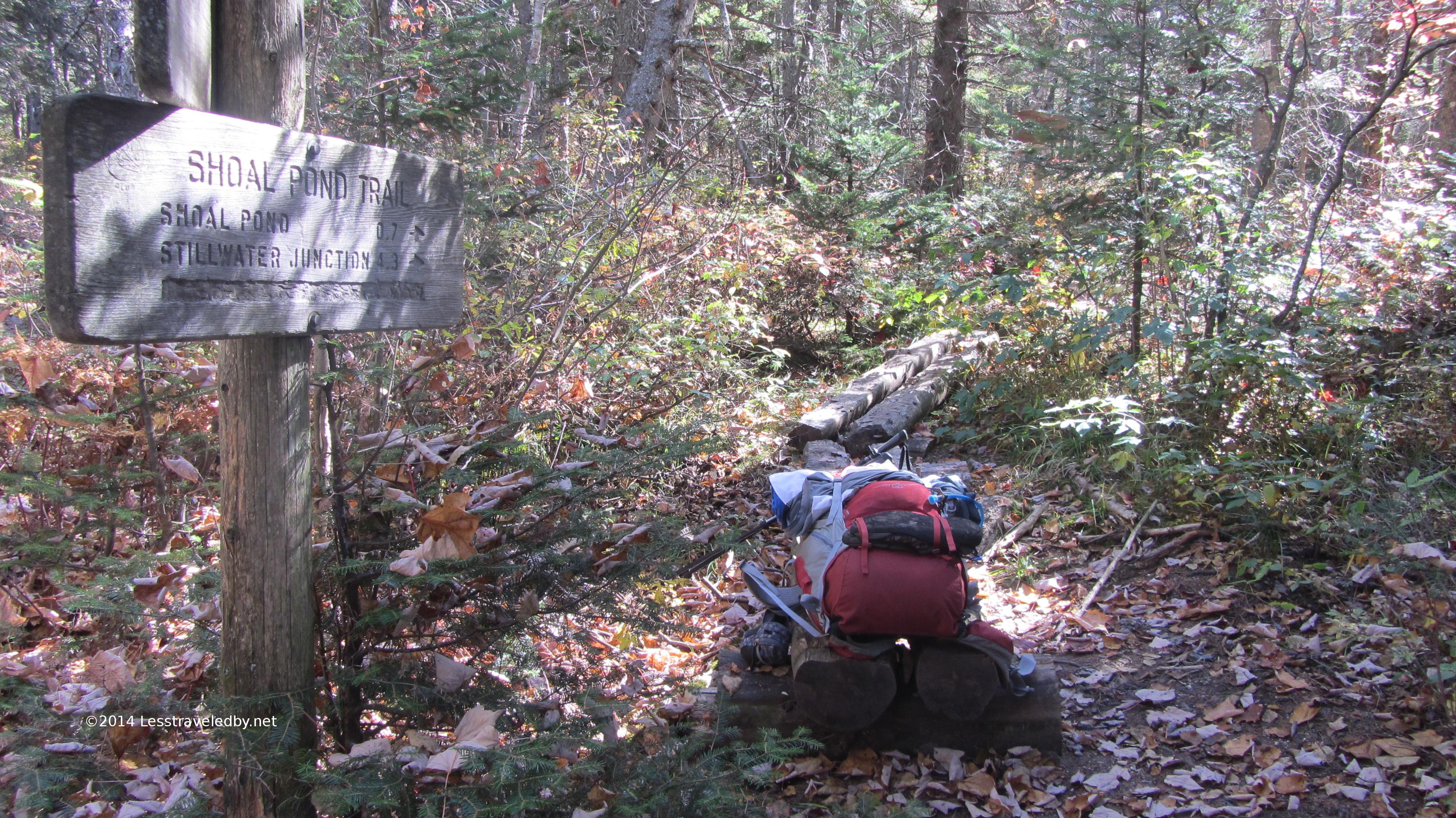
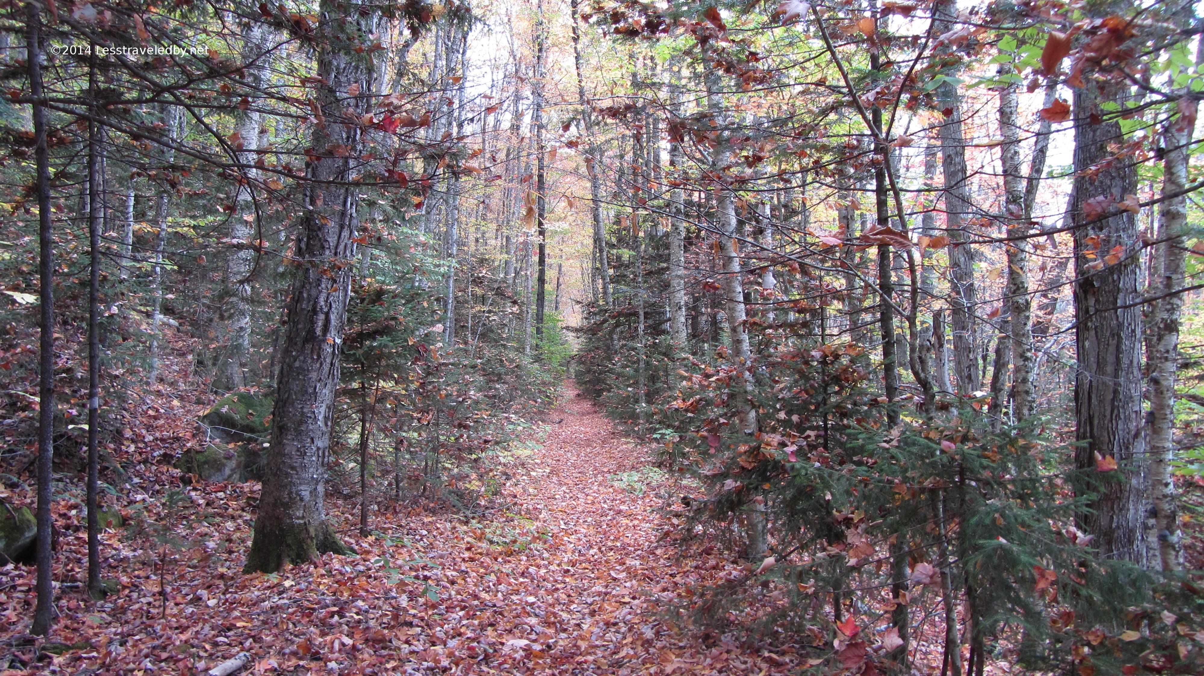
With nice cool weather and no one to slow me down I headed out on the Eastside Trail at a good clip. I soon passed the gate into the wilderness at the far end of the campground three miles in. Having made more than a few trips on this trail it is becoming comfortingly familiar. Ticking off landmarks is like loosening a belt as I get deeper into the wilderness. The Cedar Brook crossing followed by the climb up the hill to the Cedar Brook Trail sign, the confusing intersection where the trail to the old bridge remains an unsigned mystery and finally the Thoreau Falls Trail sign.
All my previous trips had taken me on the Thoreau Falls Trail in one direction or another if not both. This time I stayed to the right and found myself on totally unfamiliar ground. This stretch of the Wilderness Trail tended to stay up high and back from the river. Eventually the trail crossed over the river near where the various notch brooks join with the Shoal Pond Brook.
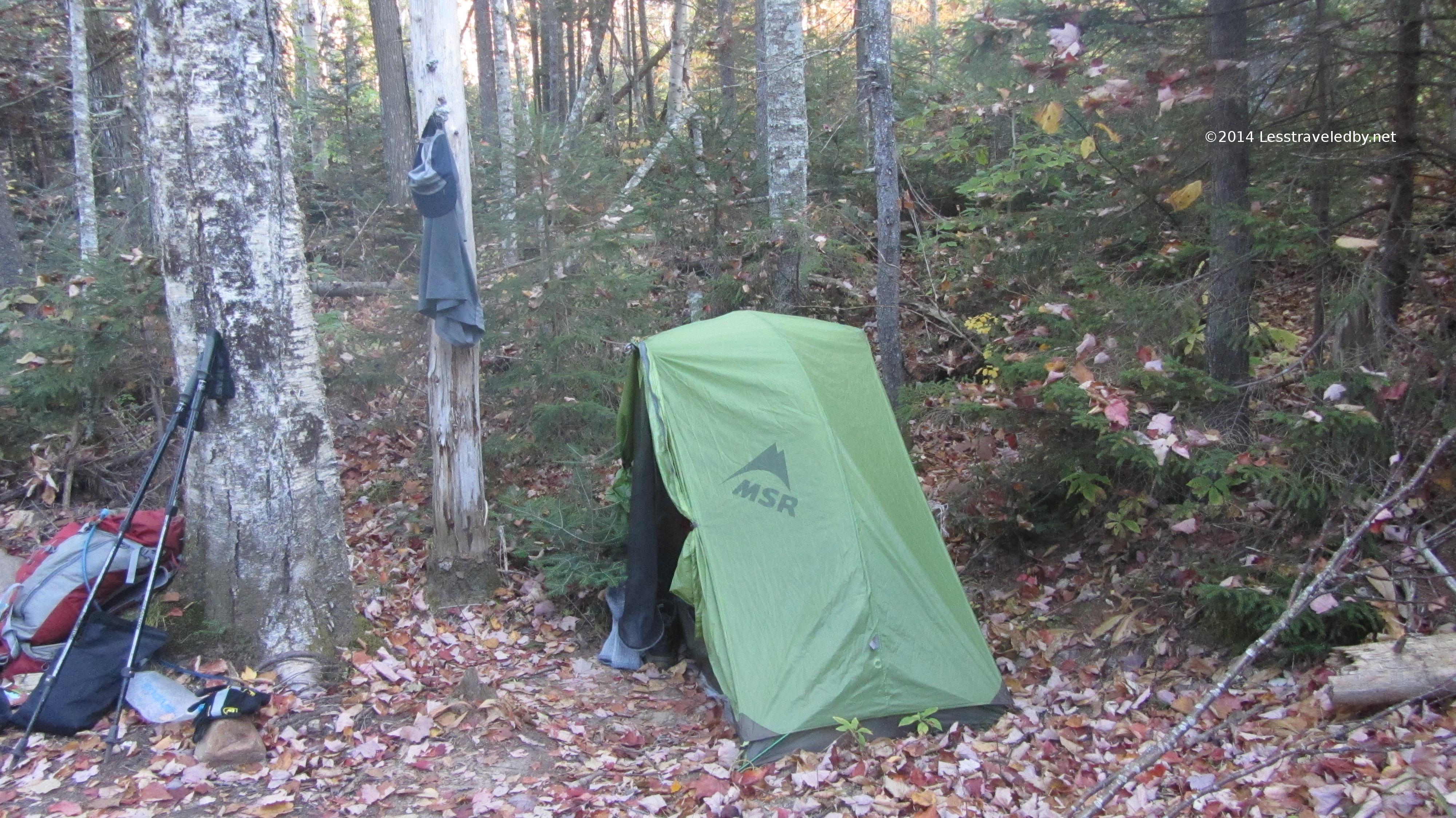
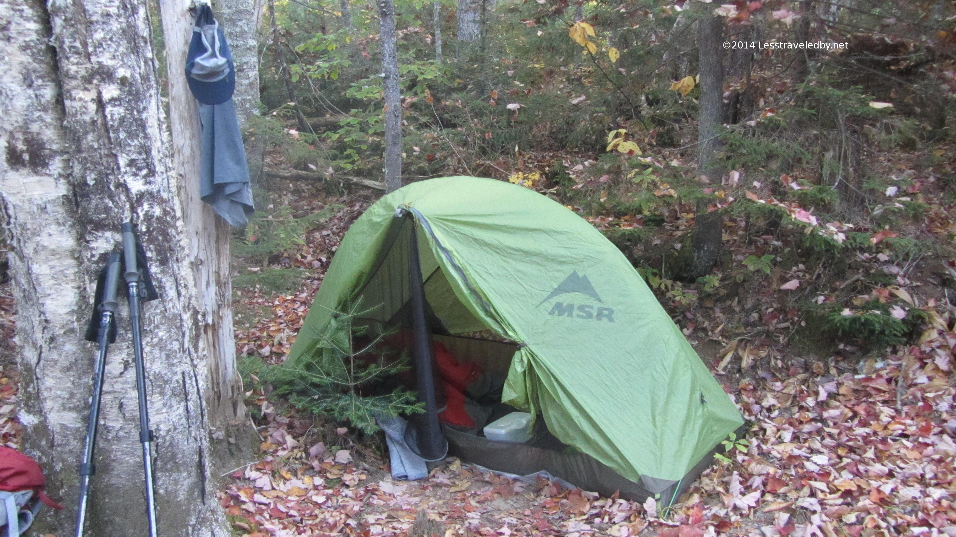
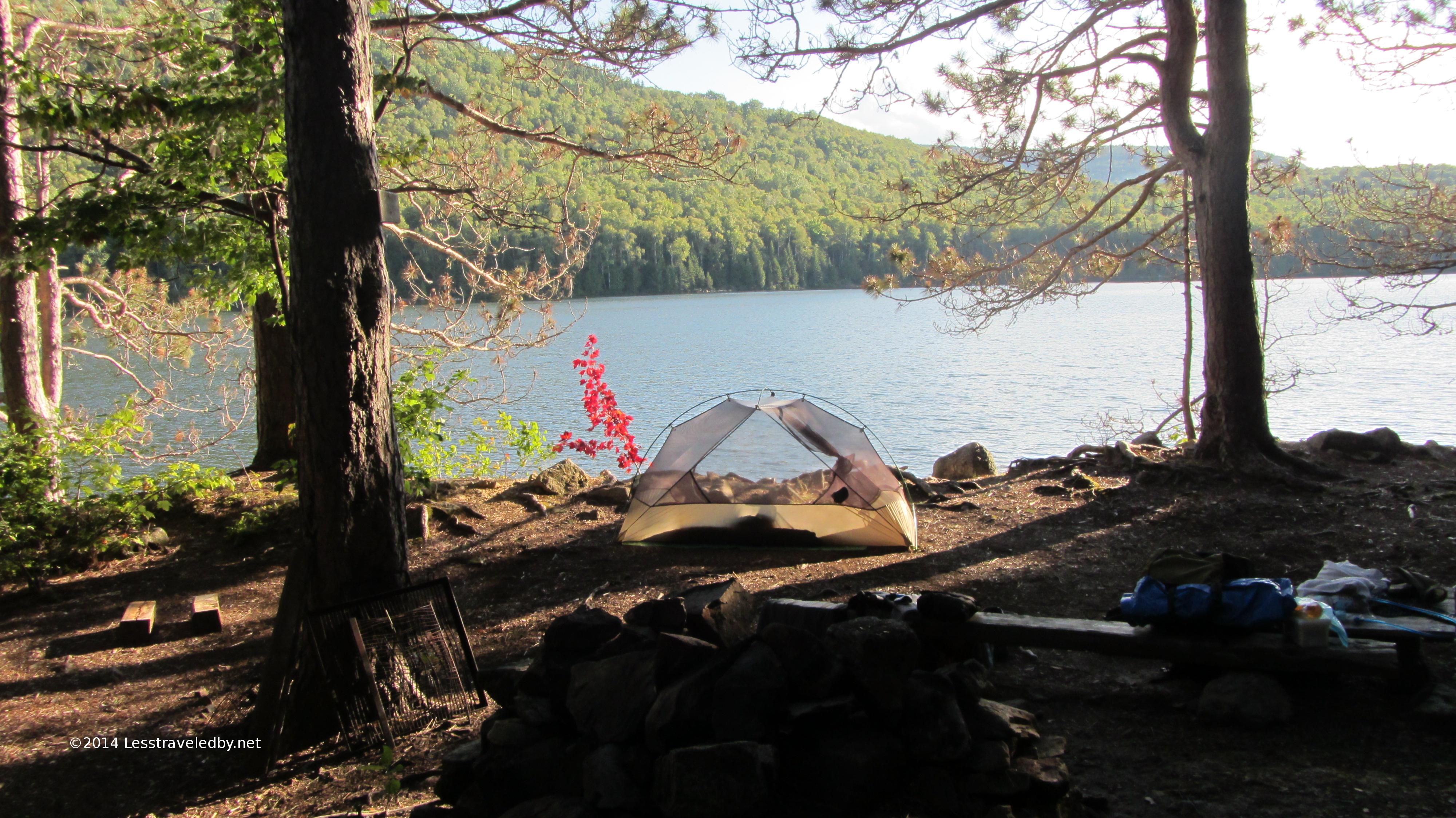
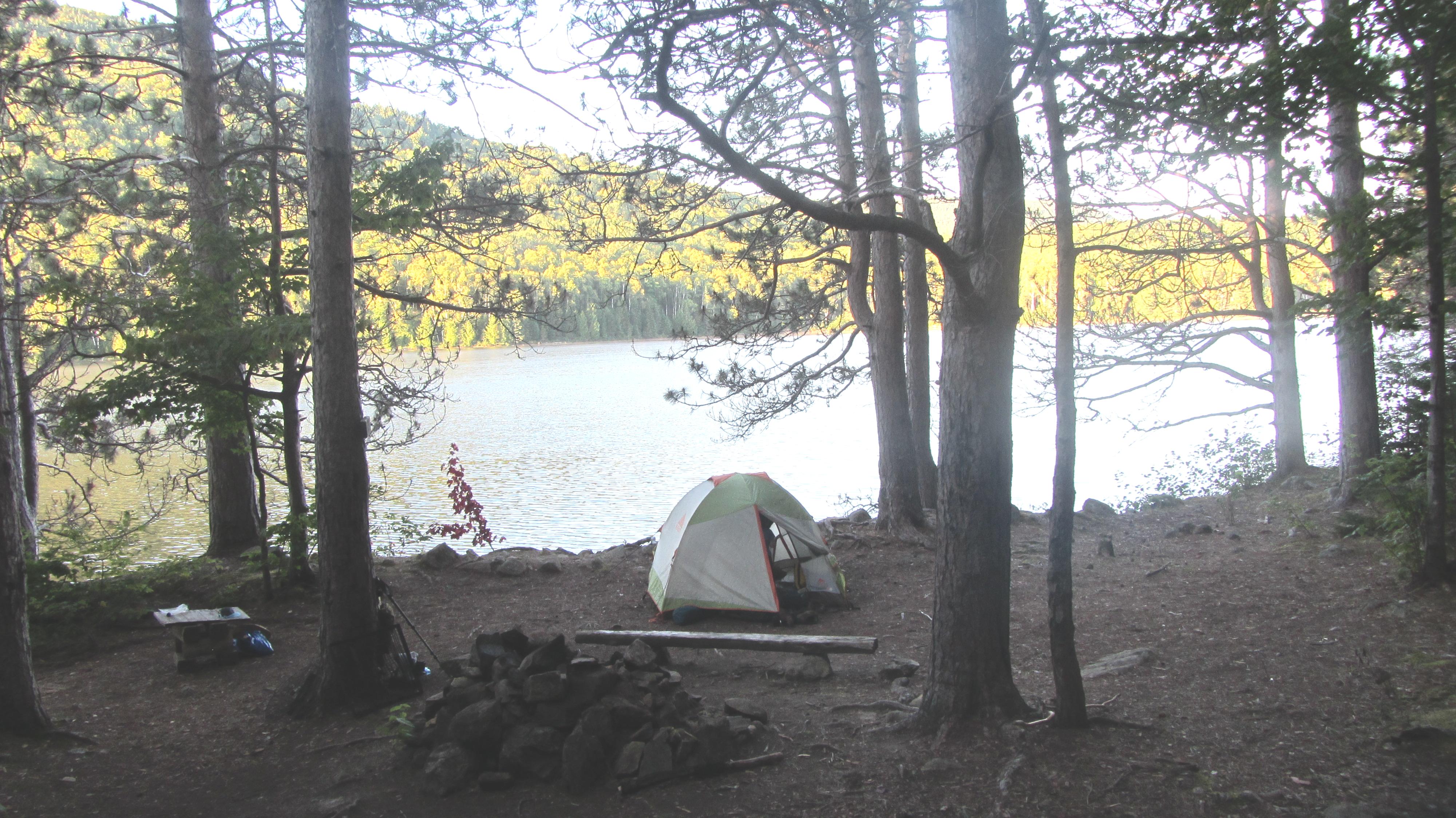
I set up my little stealth camp as the light began to fade. Admittedly that wasn’t all that late this time of year, but I wanted to filter some water and get dinner in before full dark.
I don’t need much space to set the Hubba up, especially in nice weather when I don’t need to use the vestibule. Note the carefully undisturbed baby pine at my front door. In the morning, once I picked up my gear I just fluffed the leaves a bit with my poles and you’d never know anyone had been there.
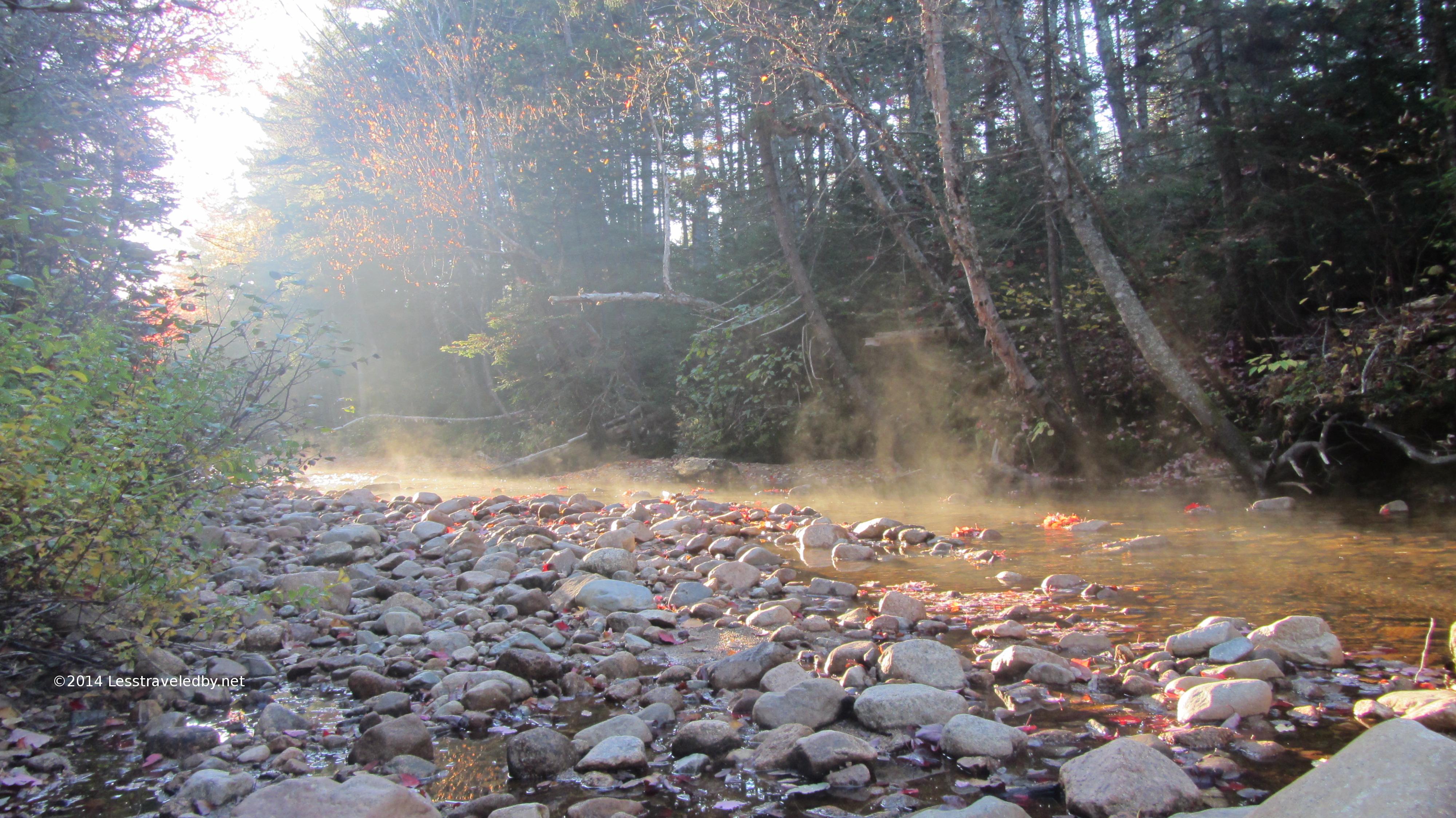
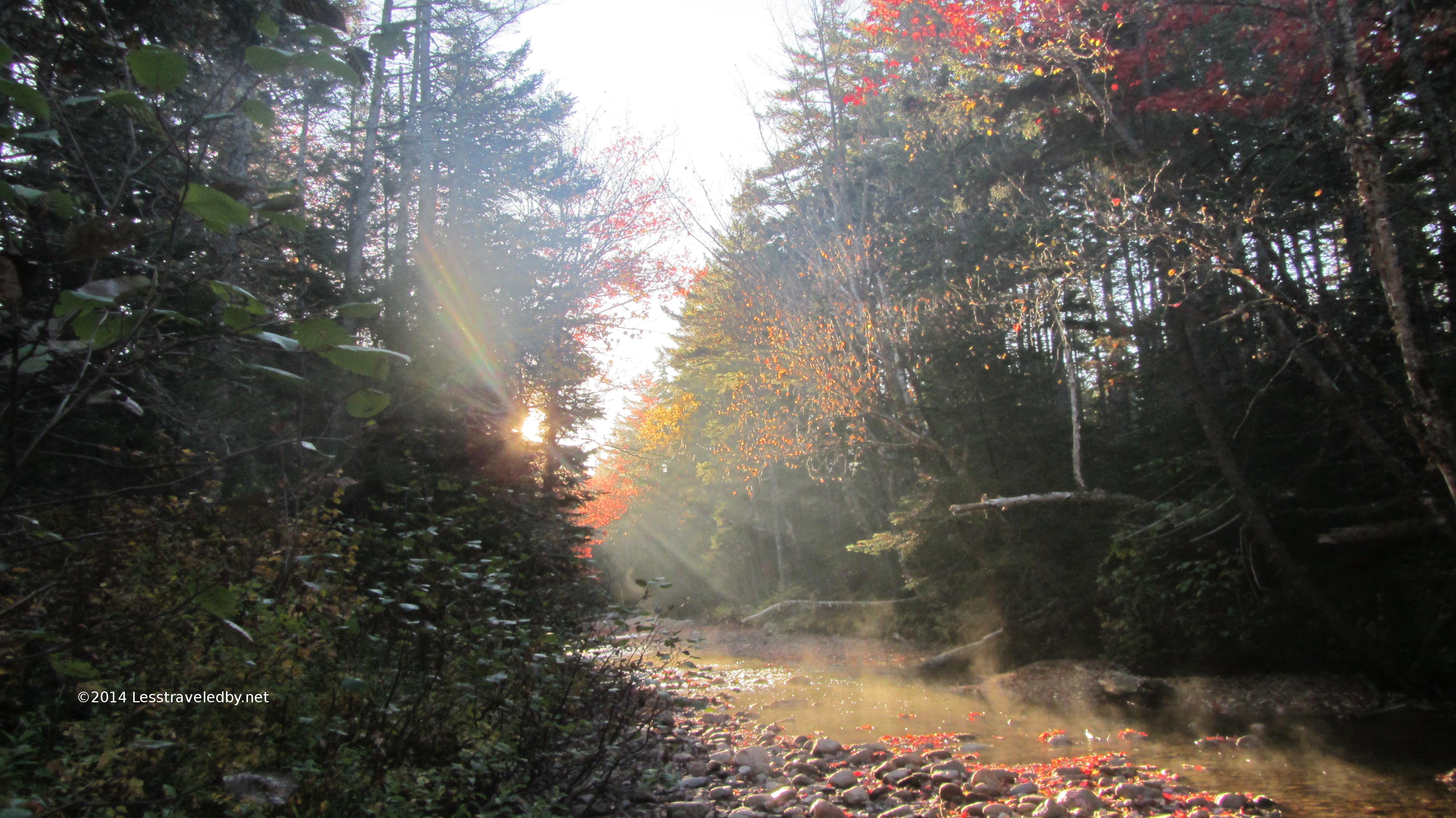
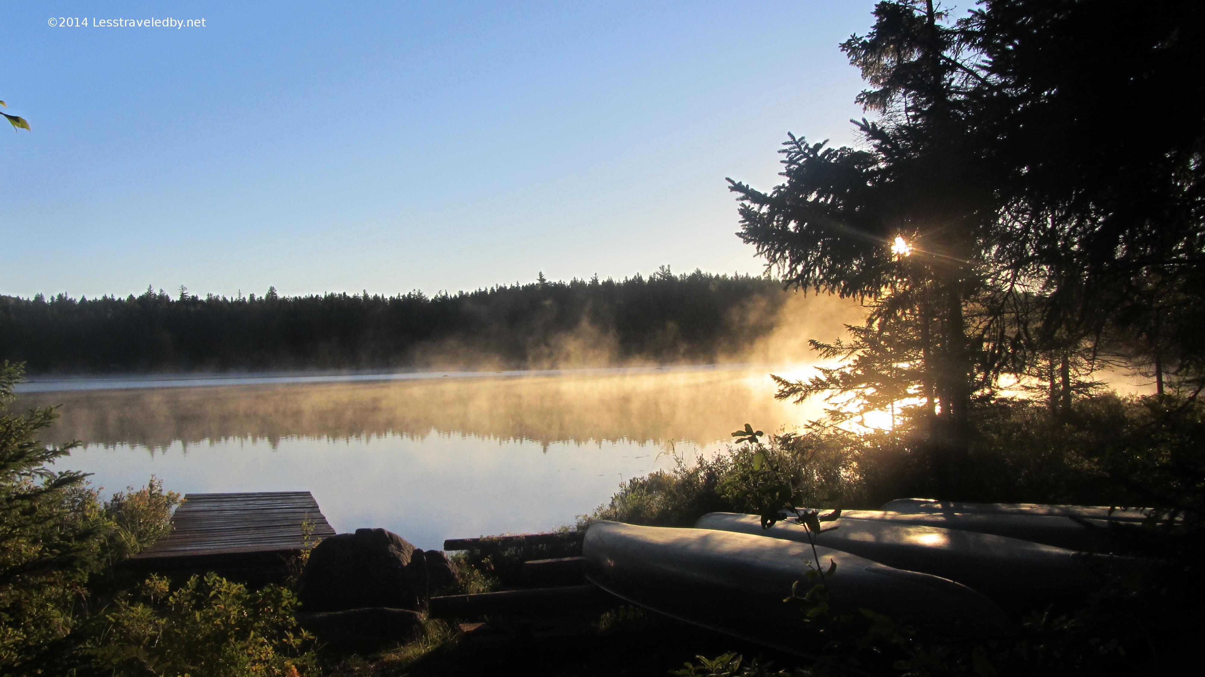
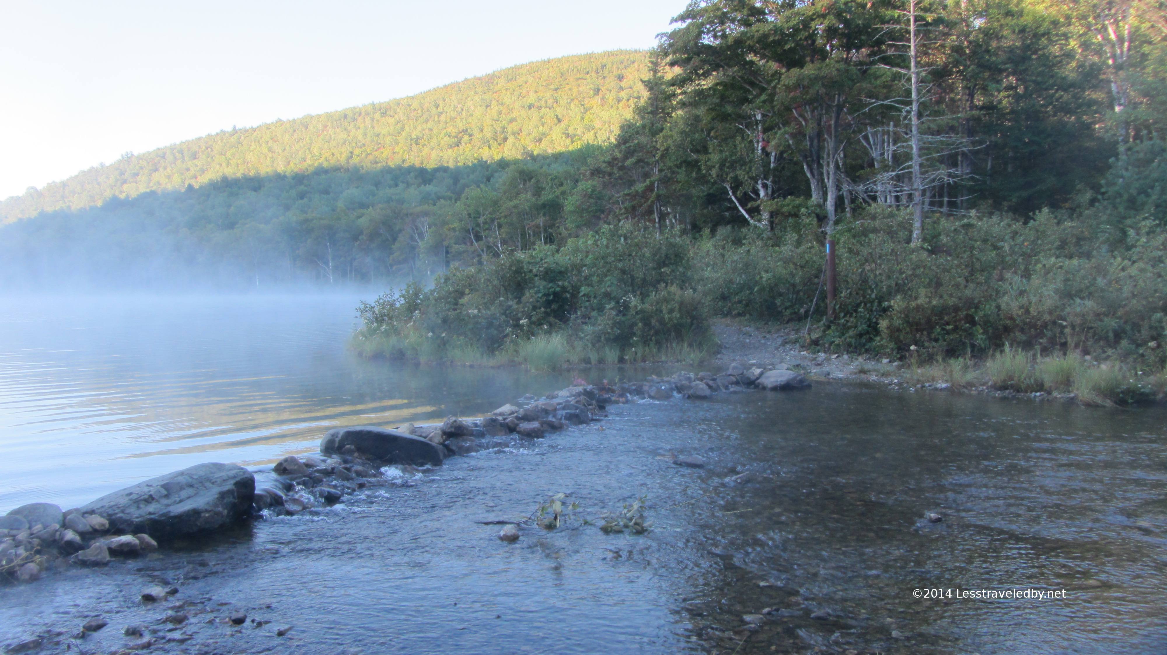
Having gone to bed early I was ready to go at first light. I had breakfast, packed up and was on my way in time to capture some early morning steam in the Stillwater area.
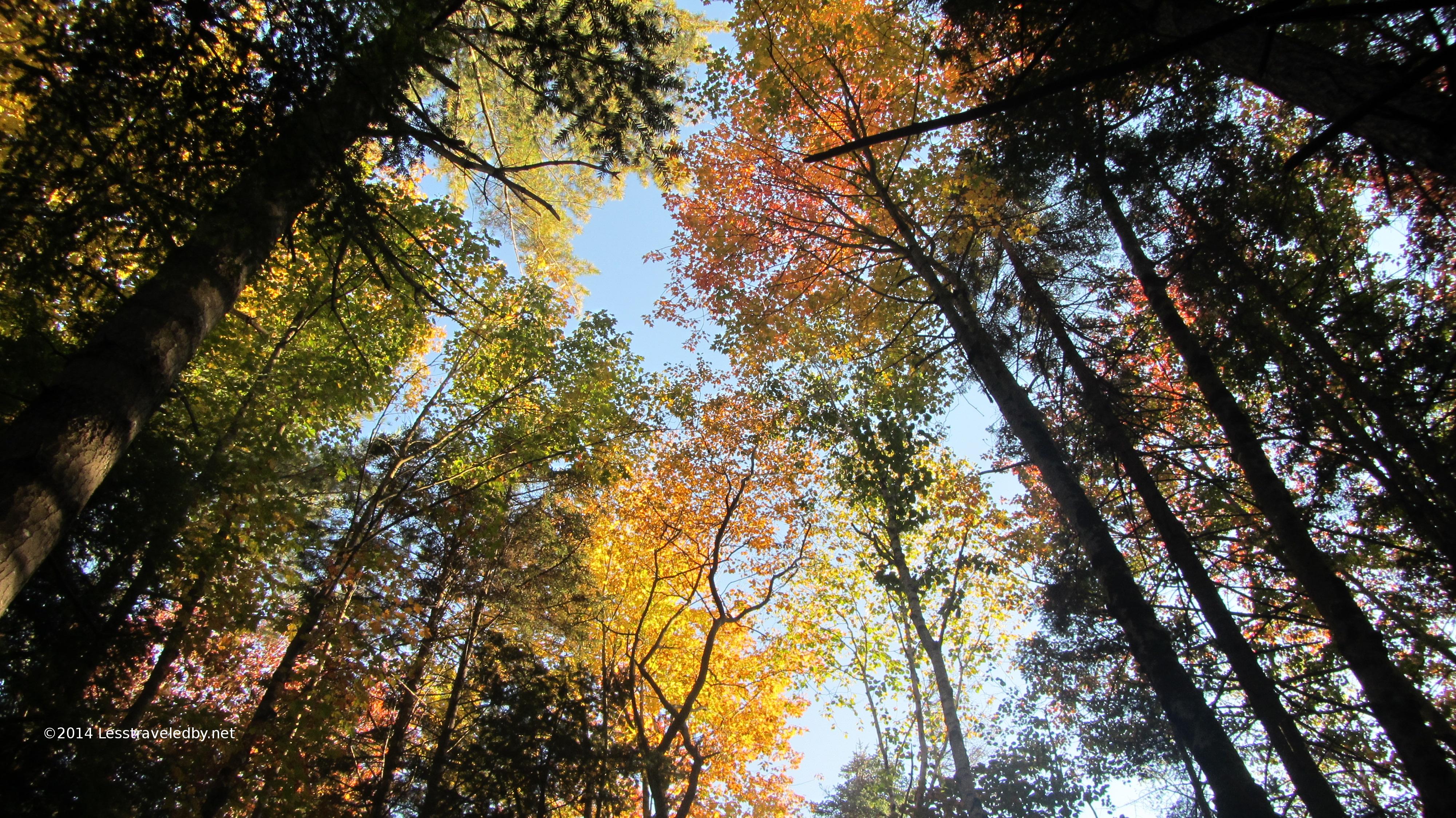
There was still some color in the trees here and combined with the early morning sun and the steaming brook it made for a spot worth stopping to appreciate for a bit.
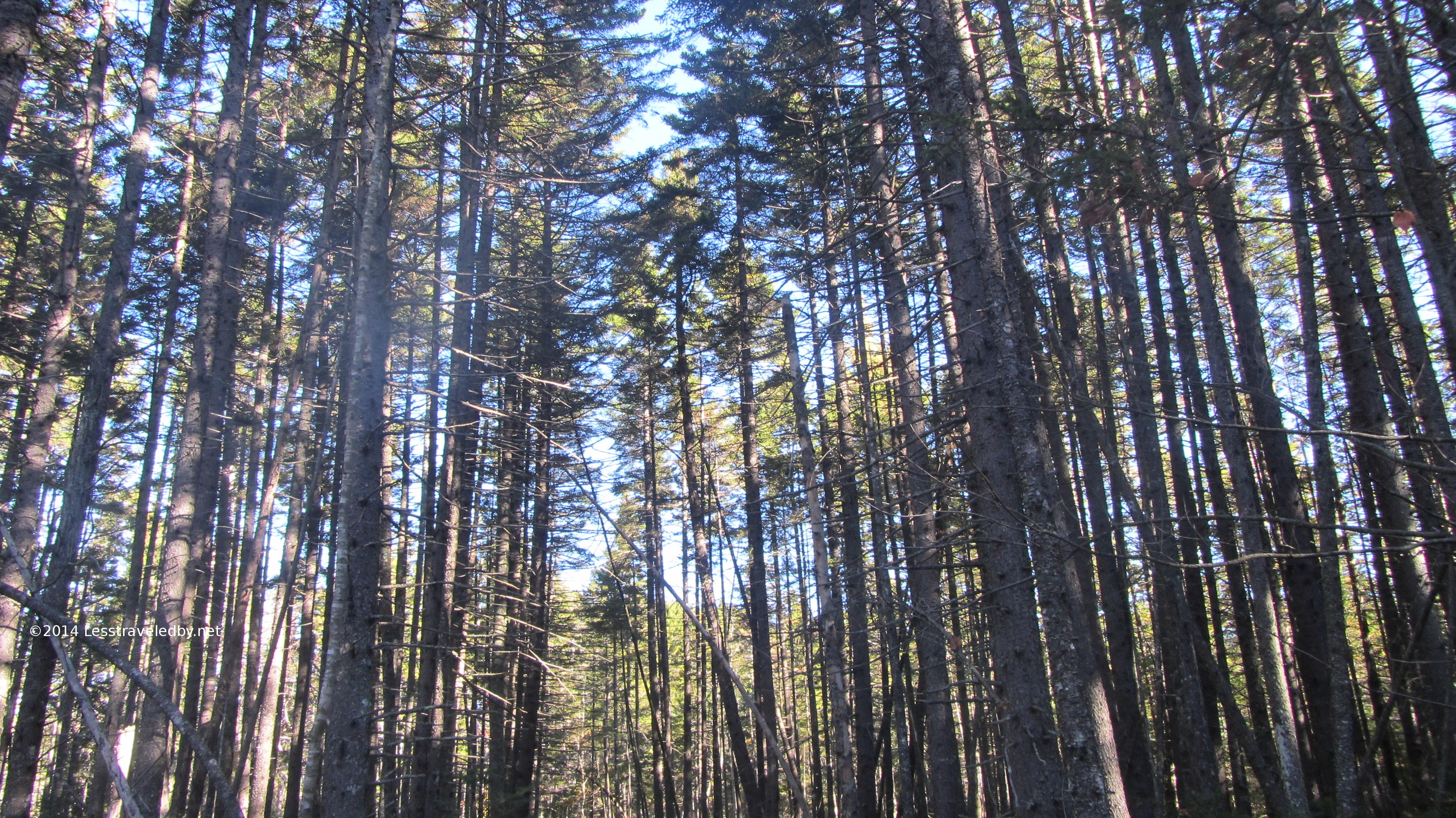
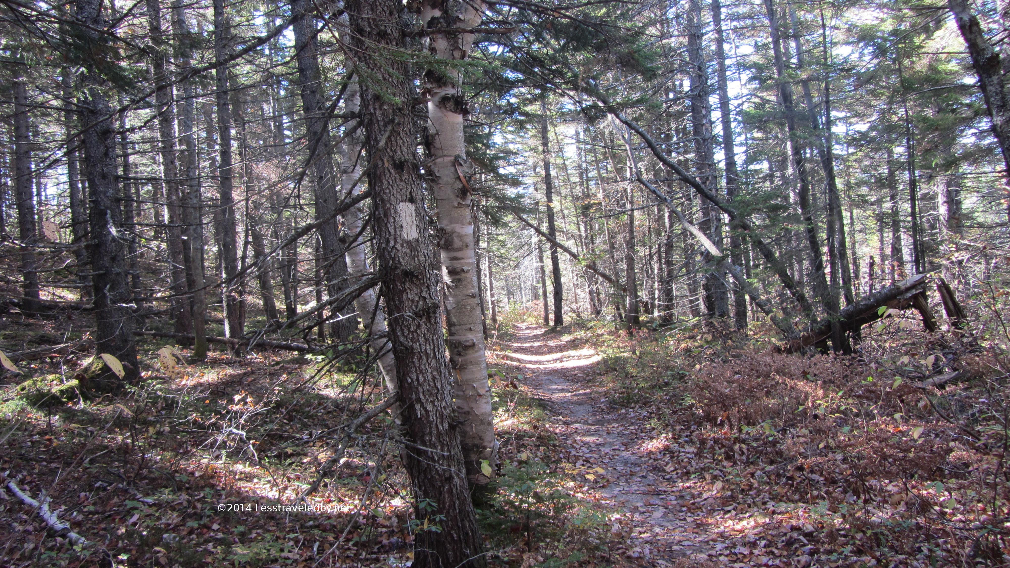
Heading up the Shoal Pond Trail I soon came into this stand of pines. The ground below was relatively open making them seem amazingly straight and tall.
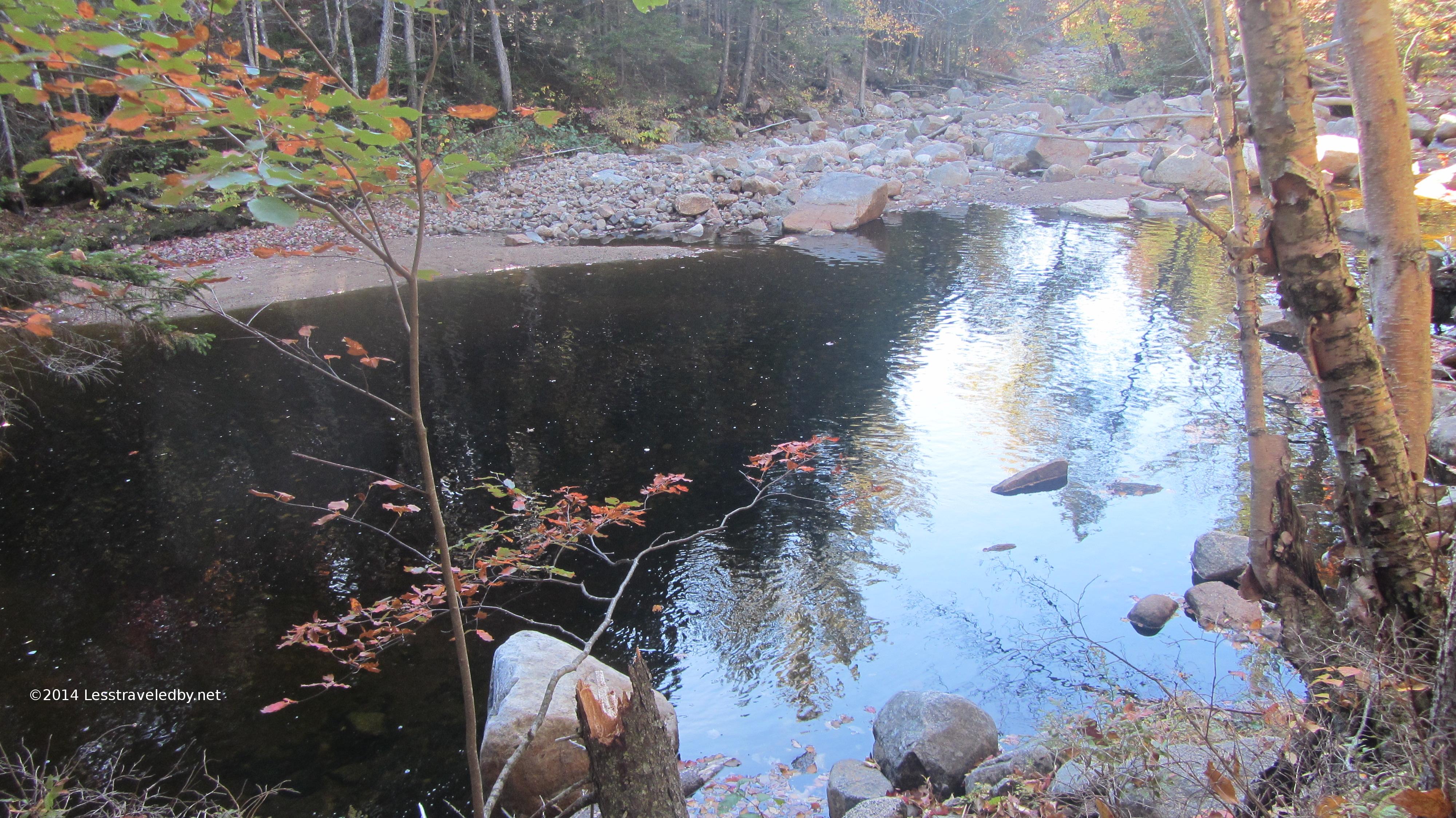
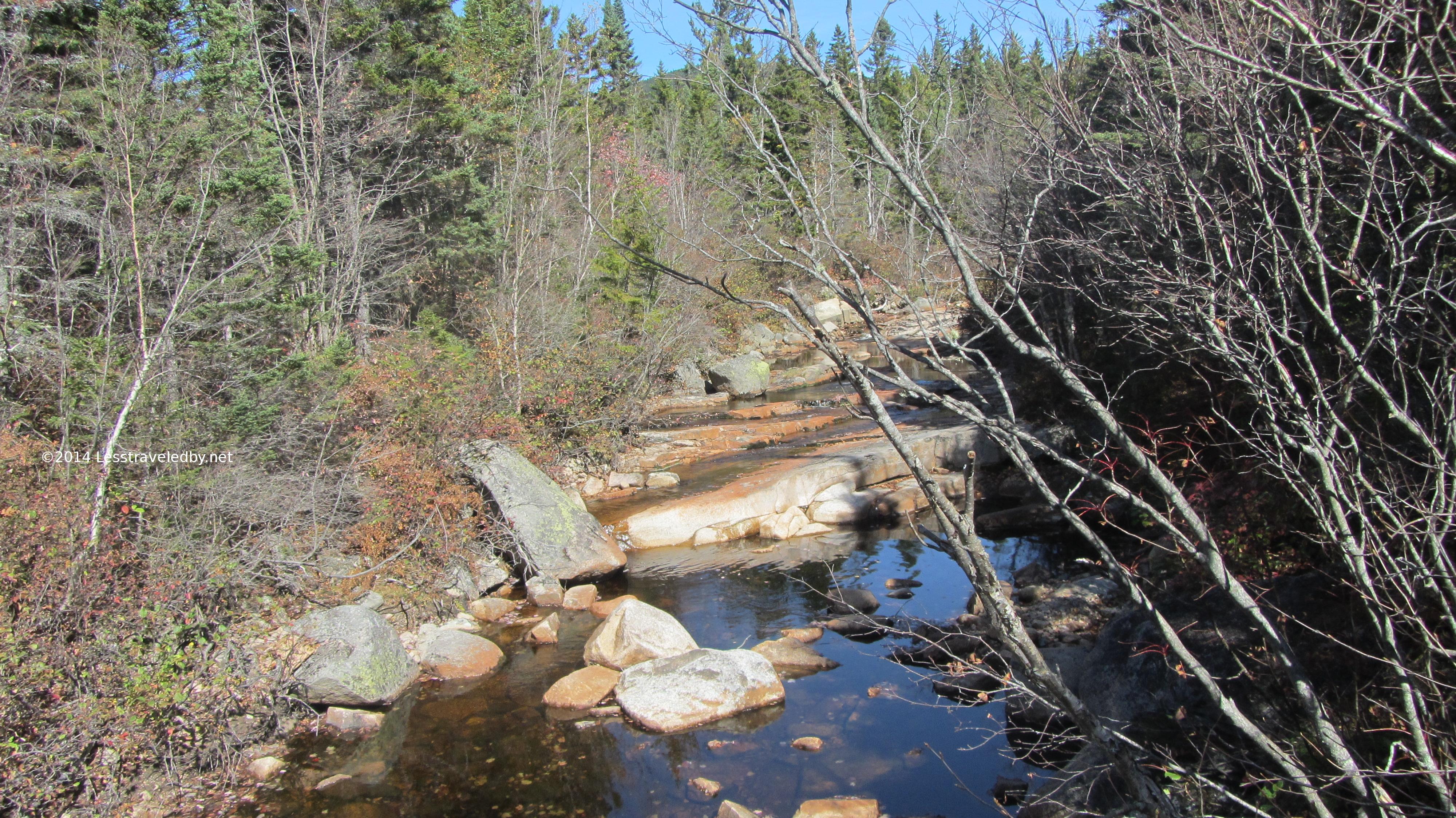
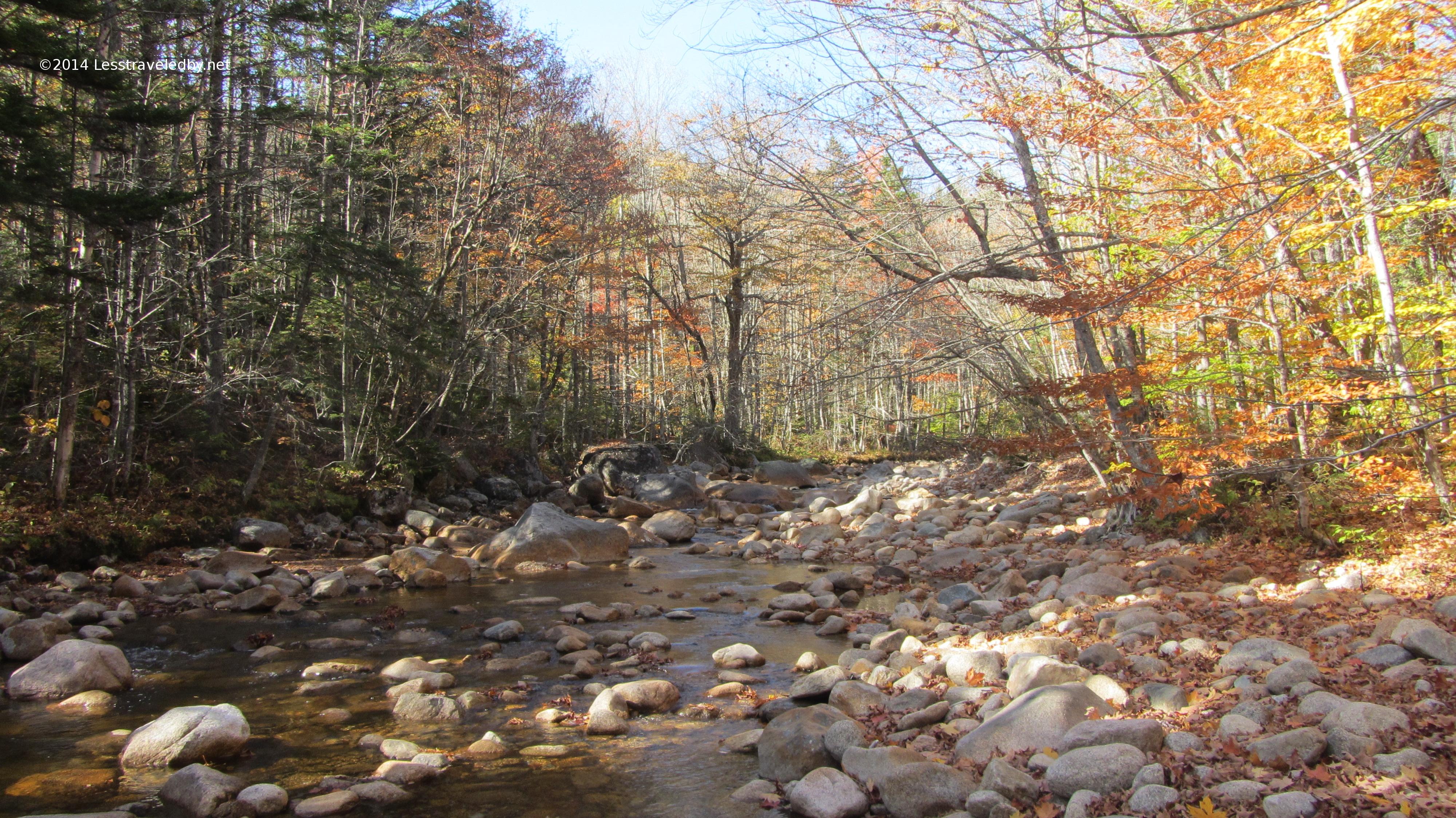
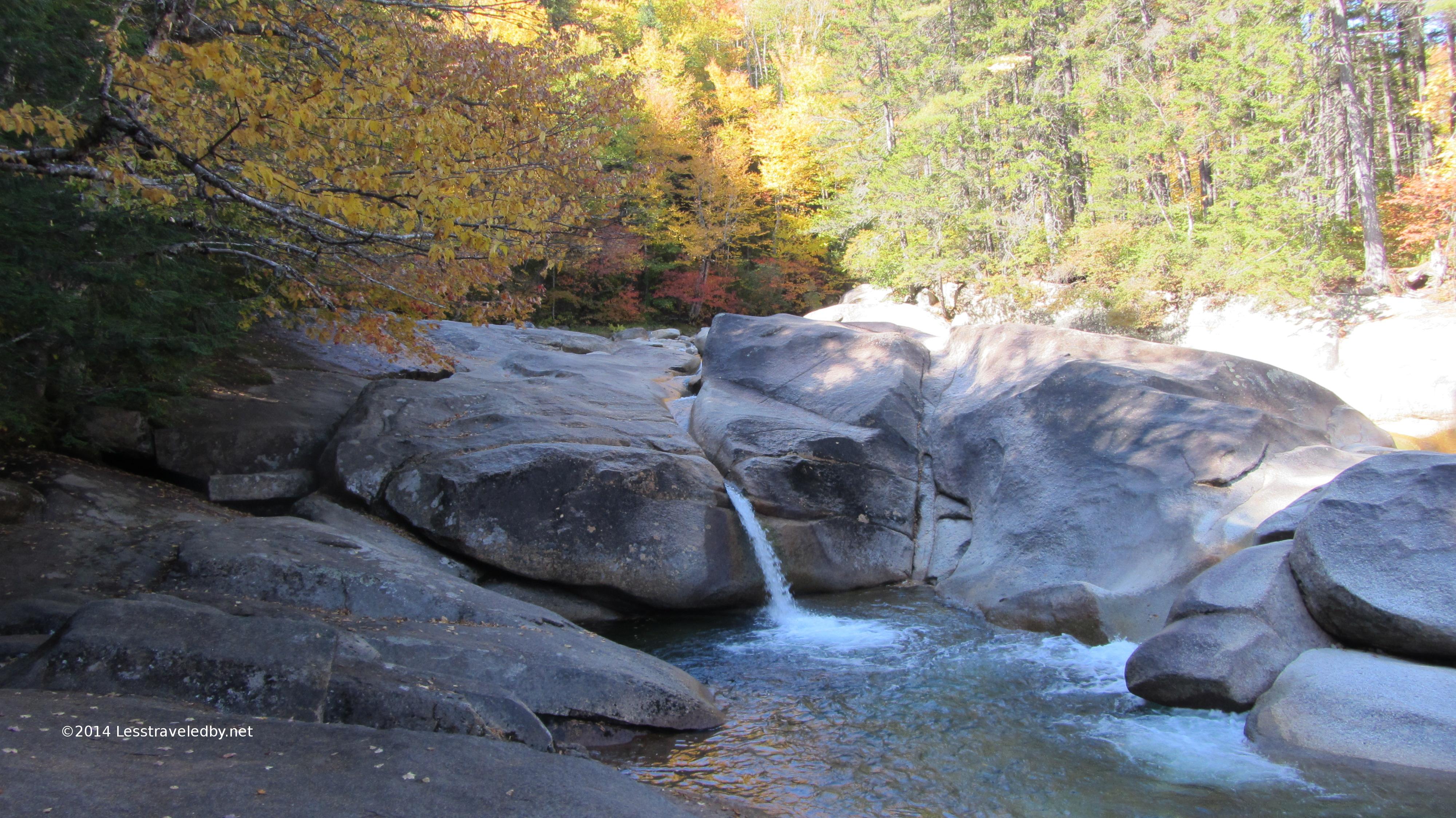
The trail followed the Shoal Pond Brook for a while. Even with the very dry year there were still pools and small falls to be seen. Not sure I’d want to try some of these crossings in a wet year from the size of the beds.
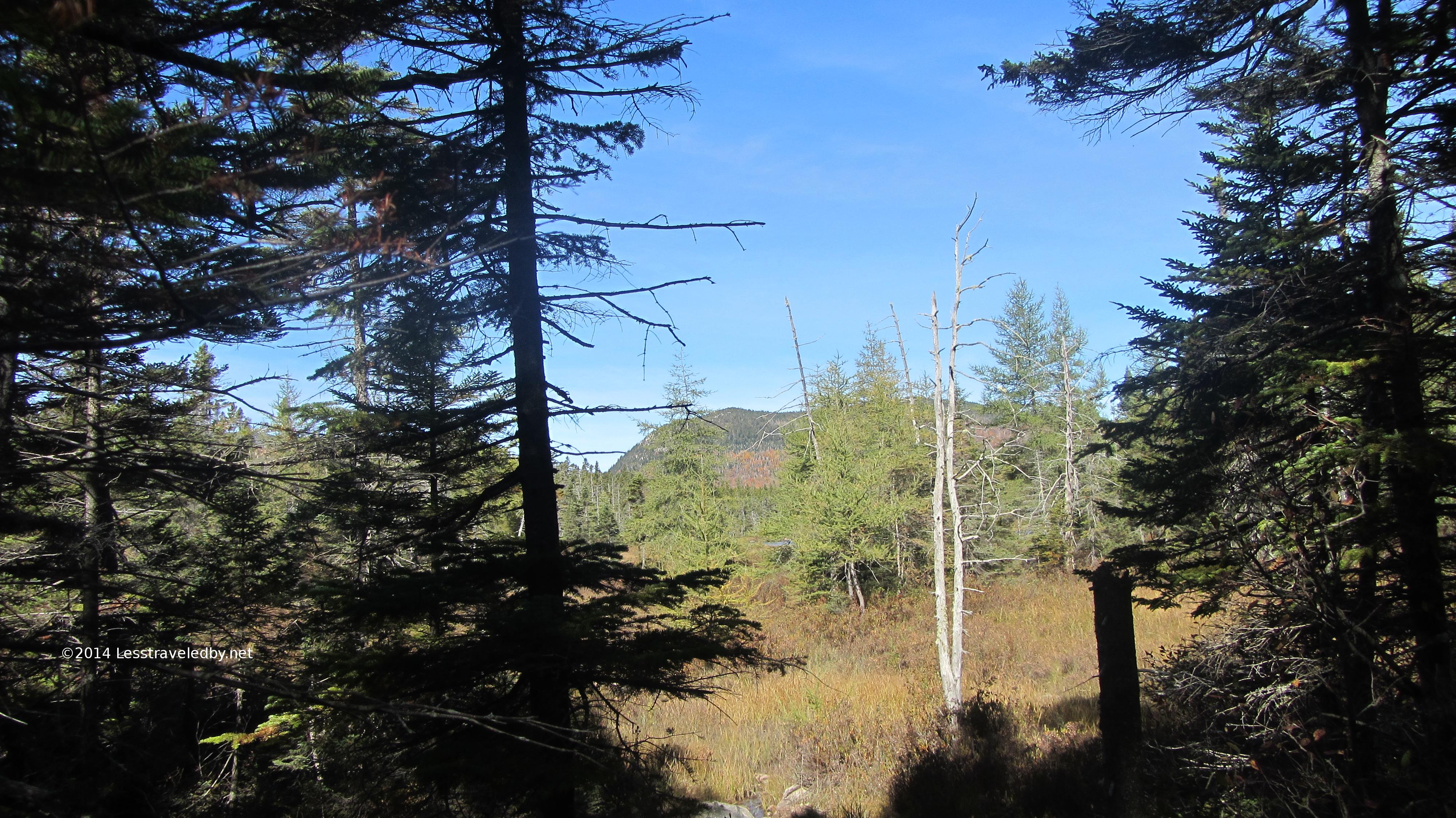
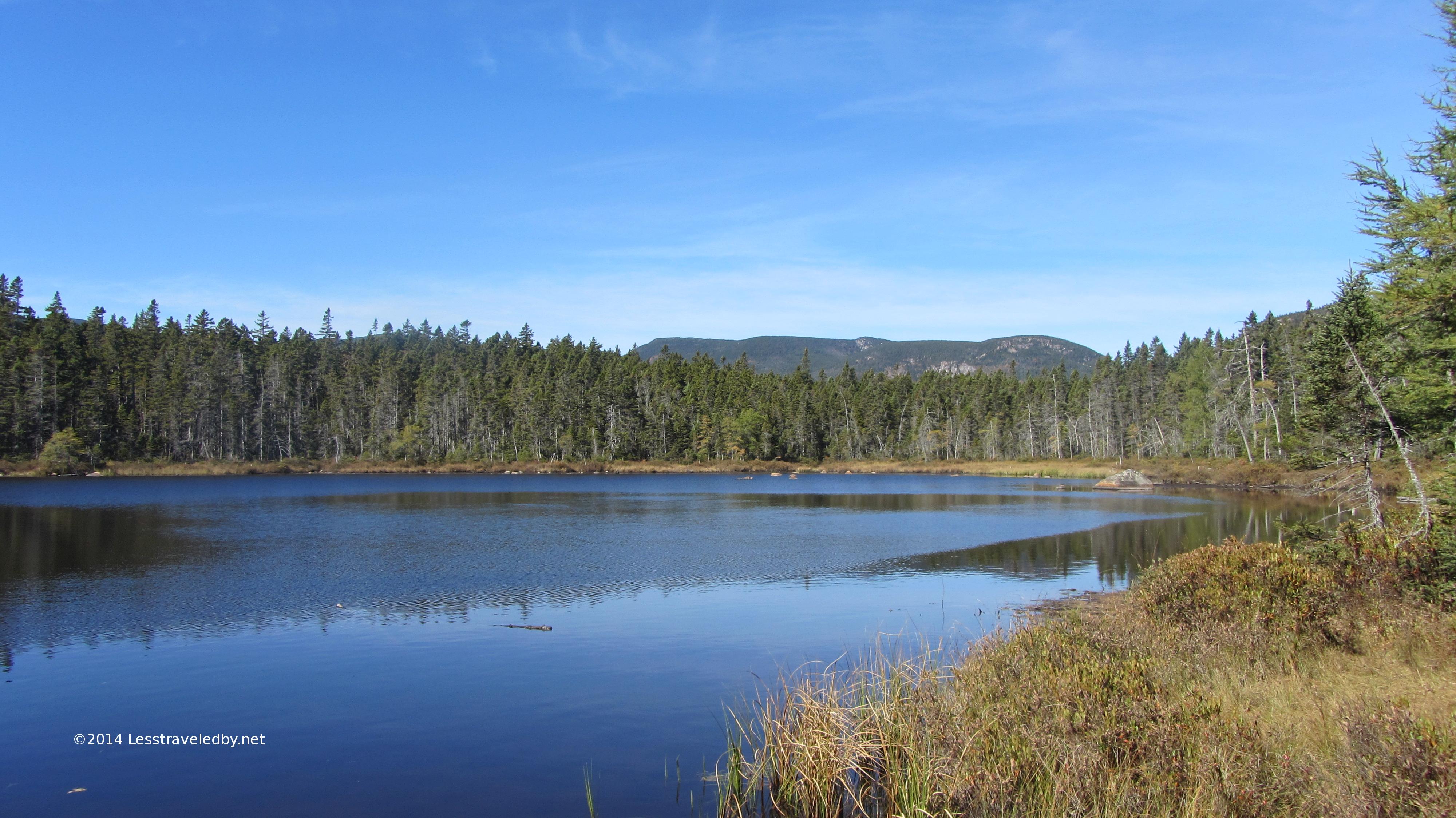
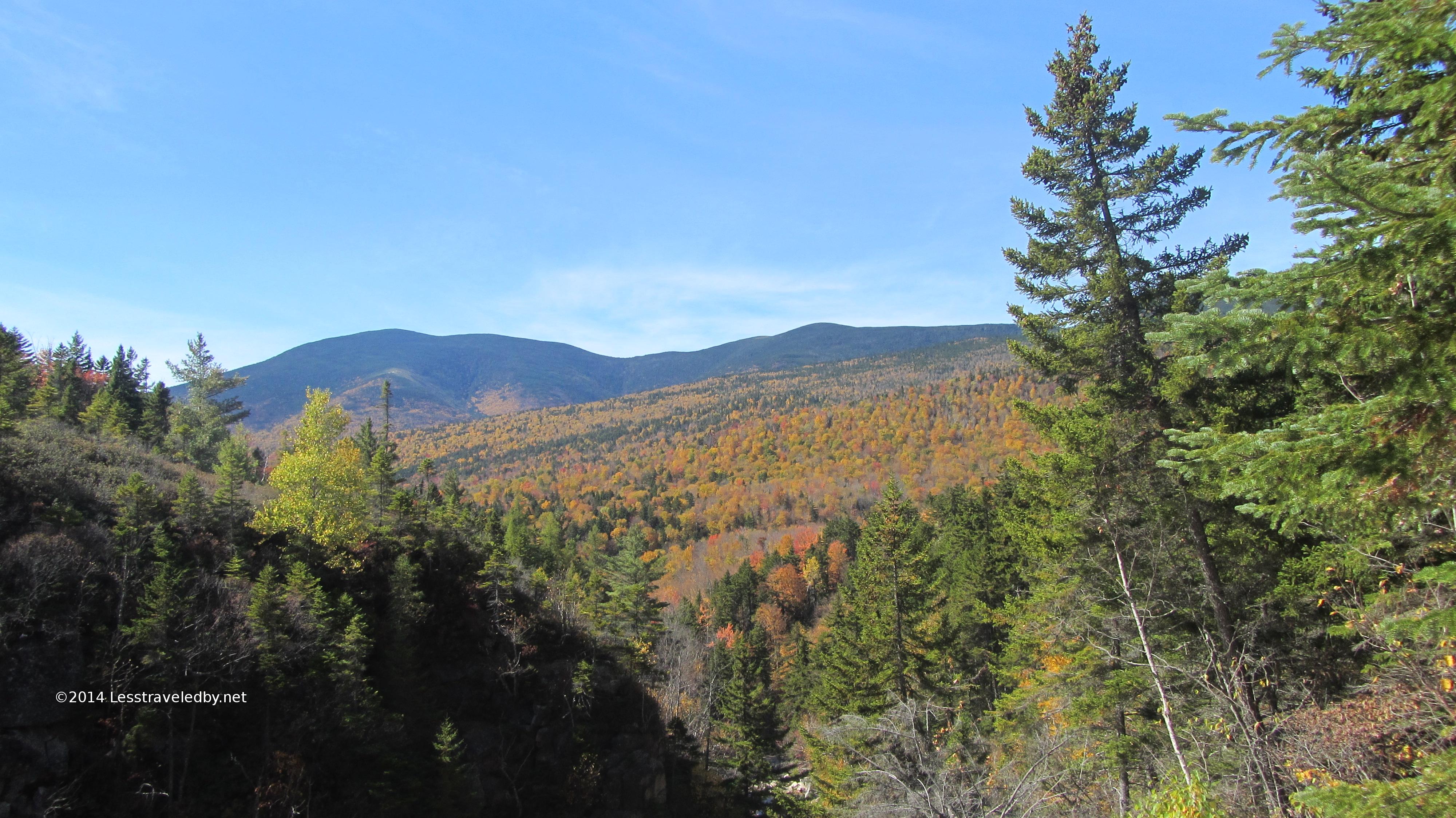
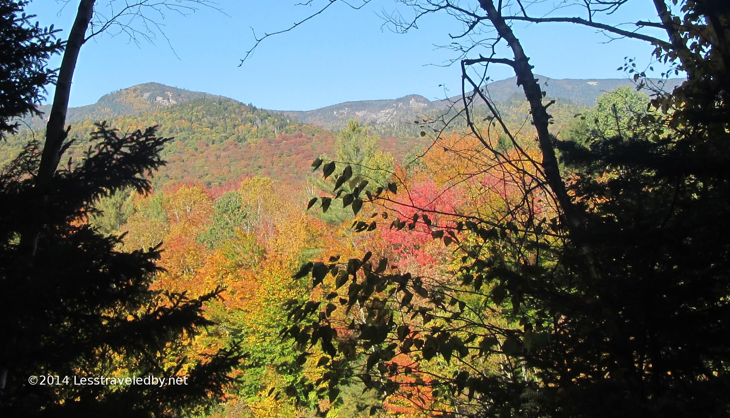
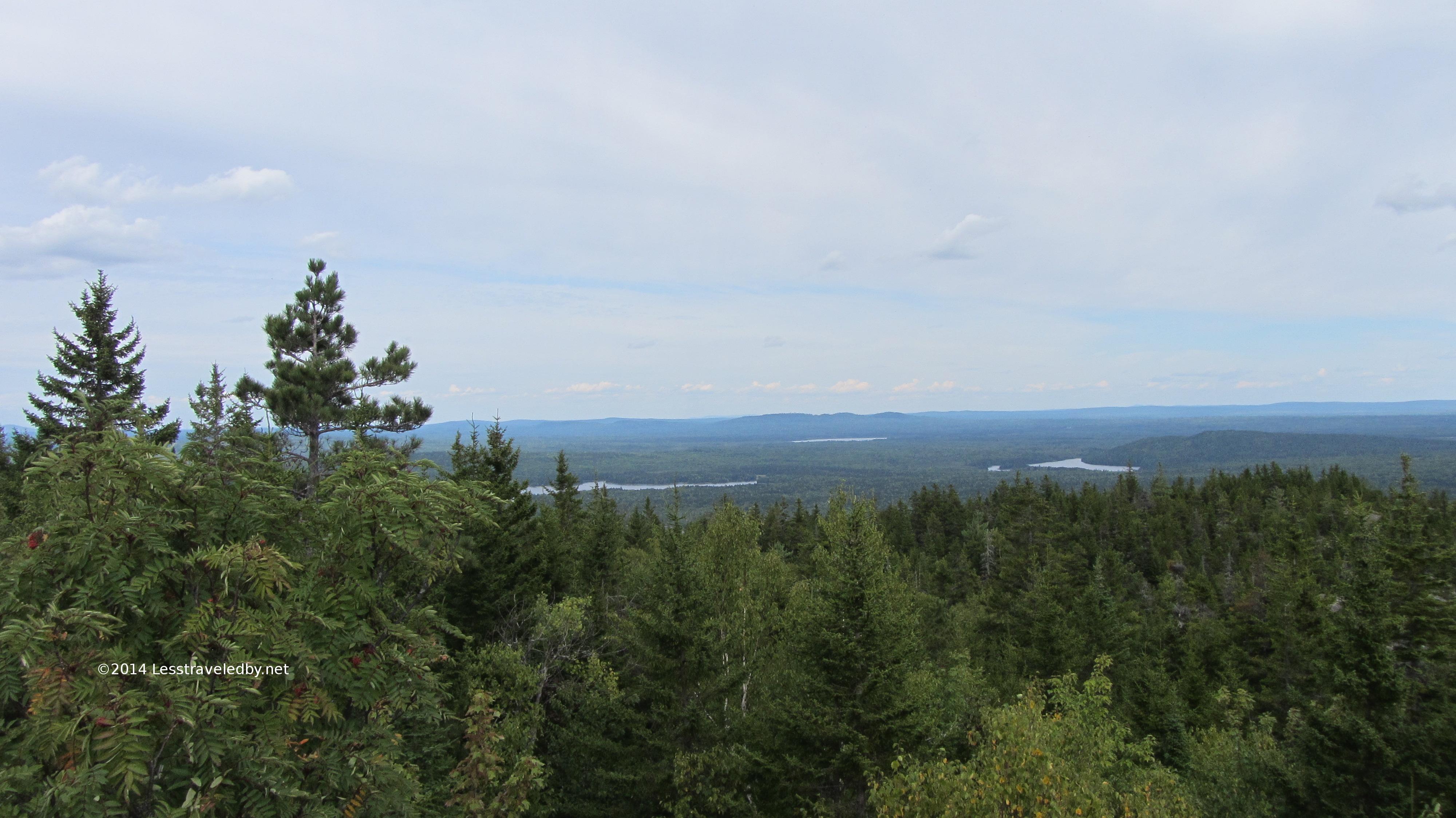
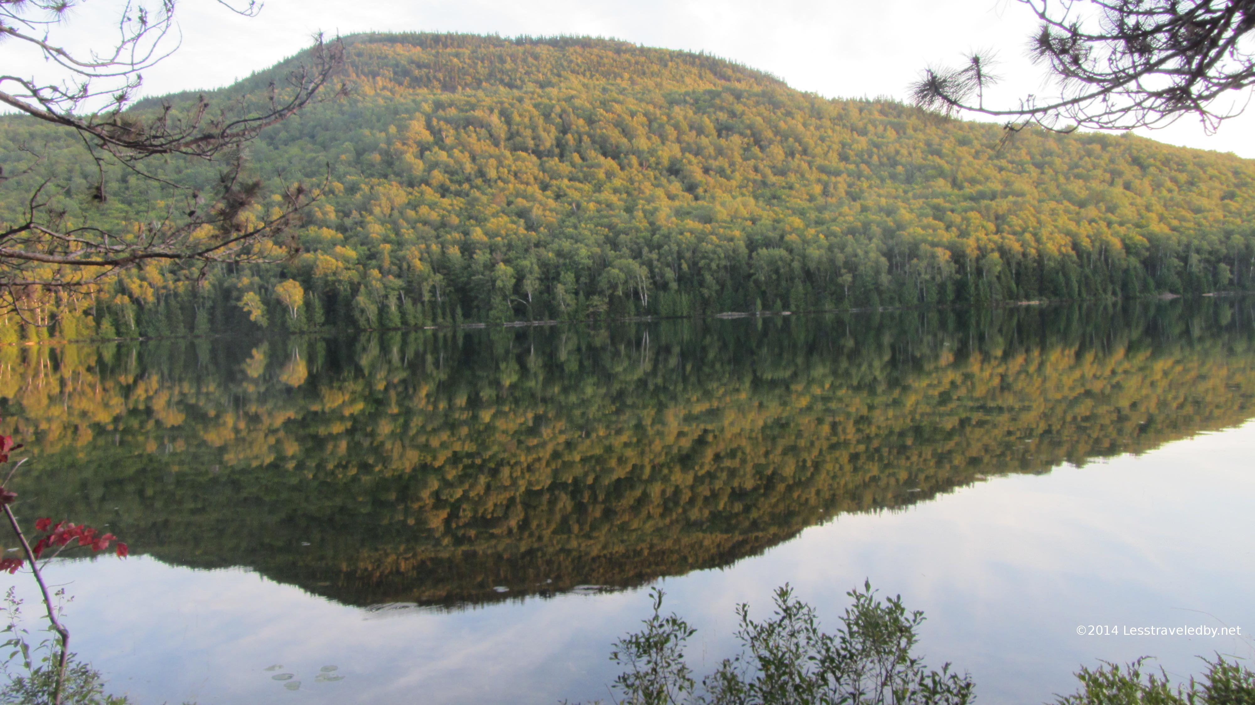
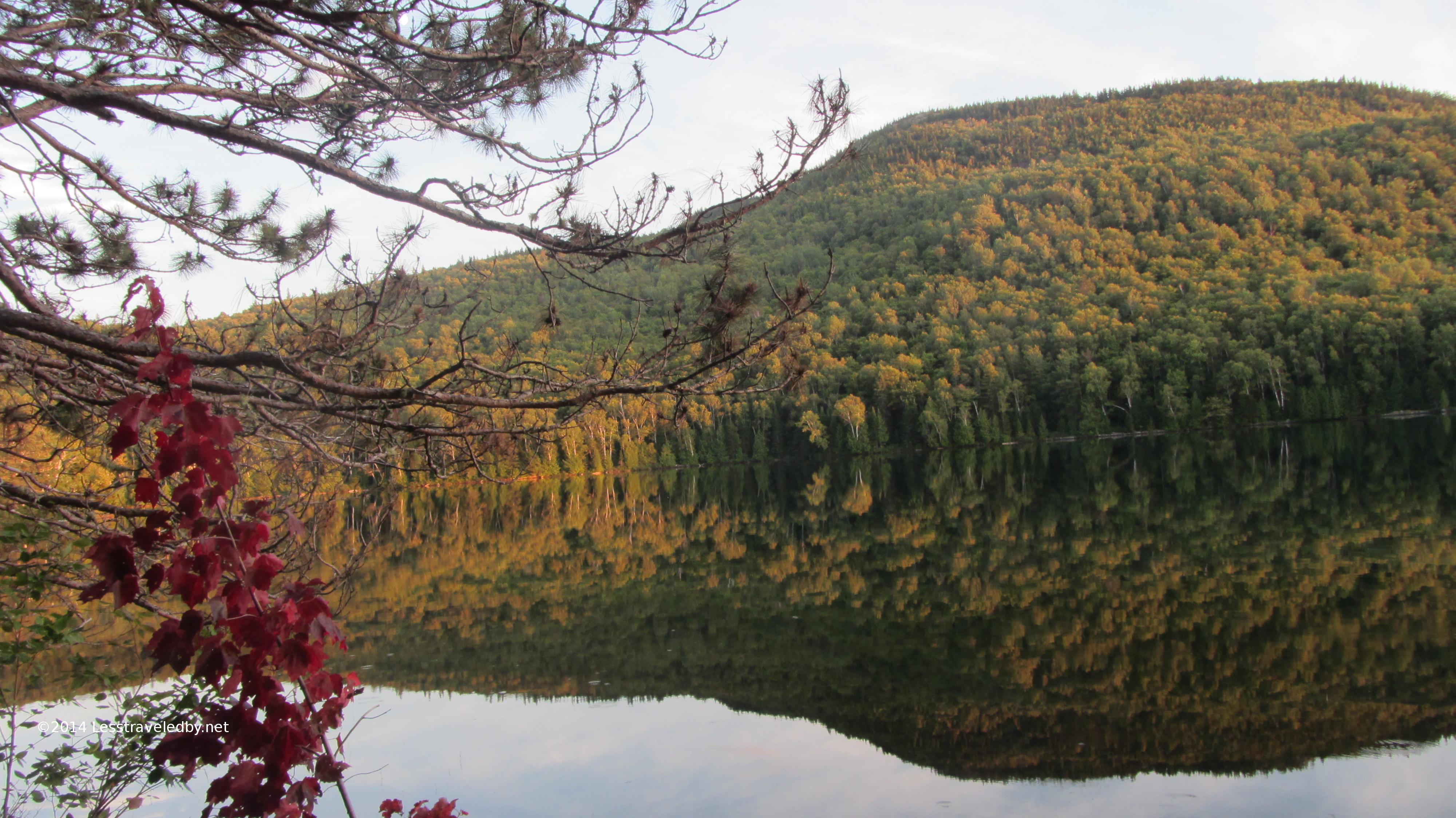
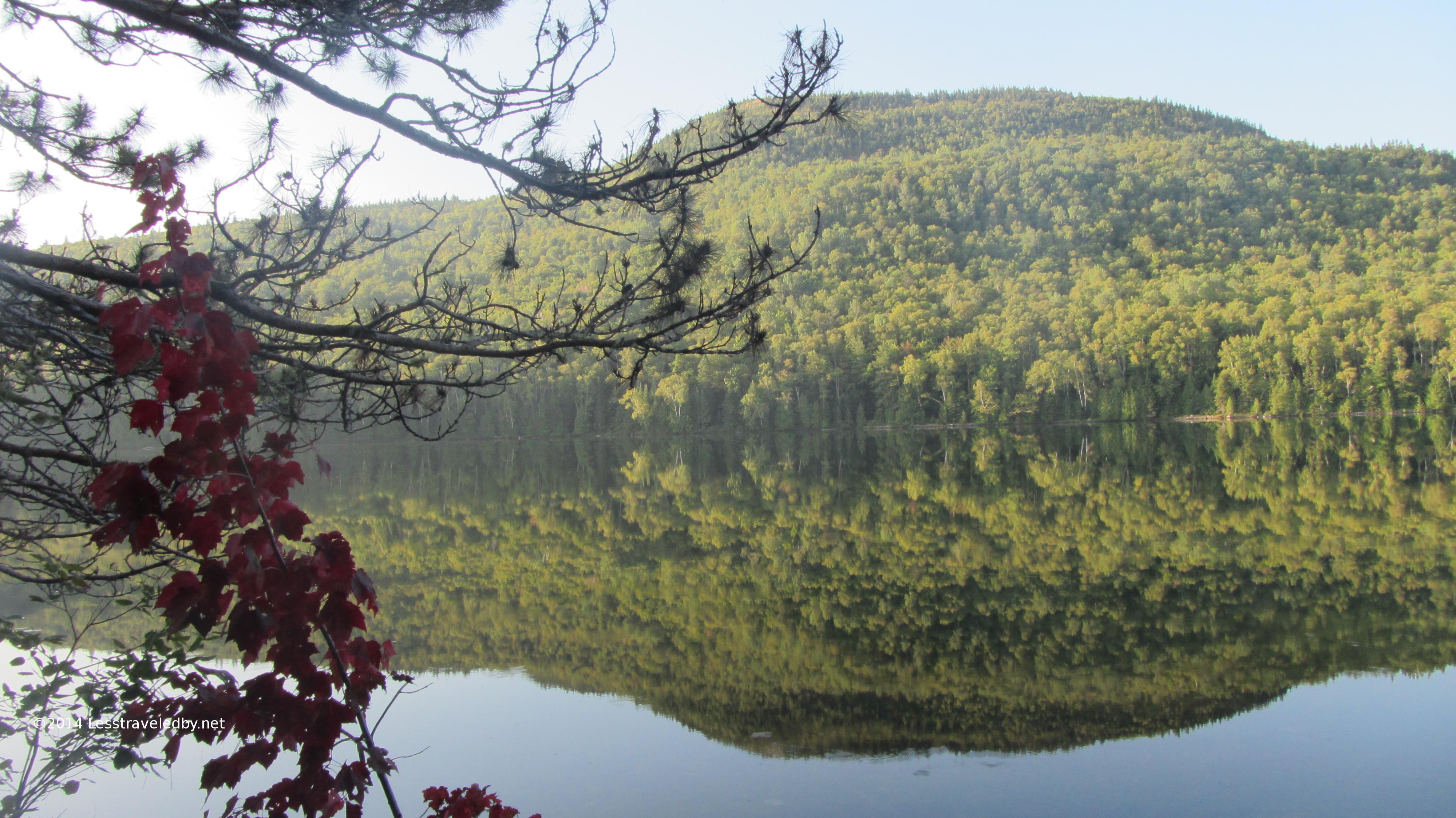
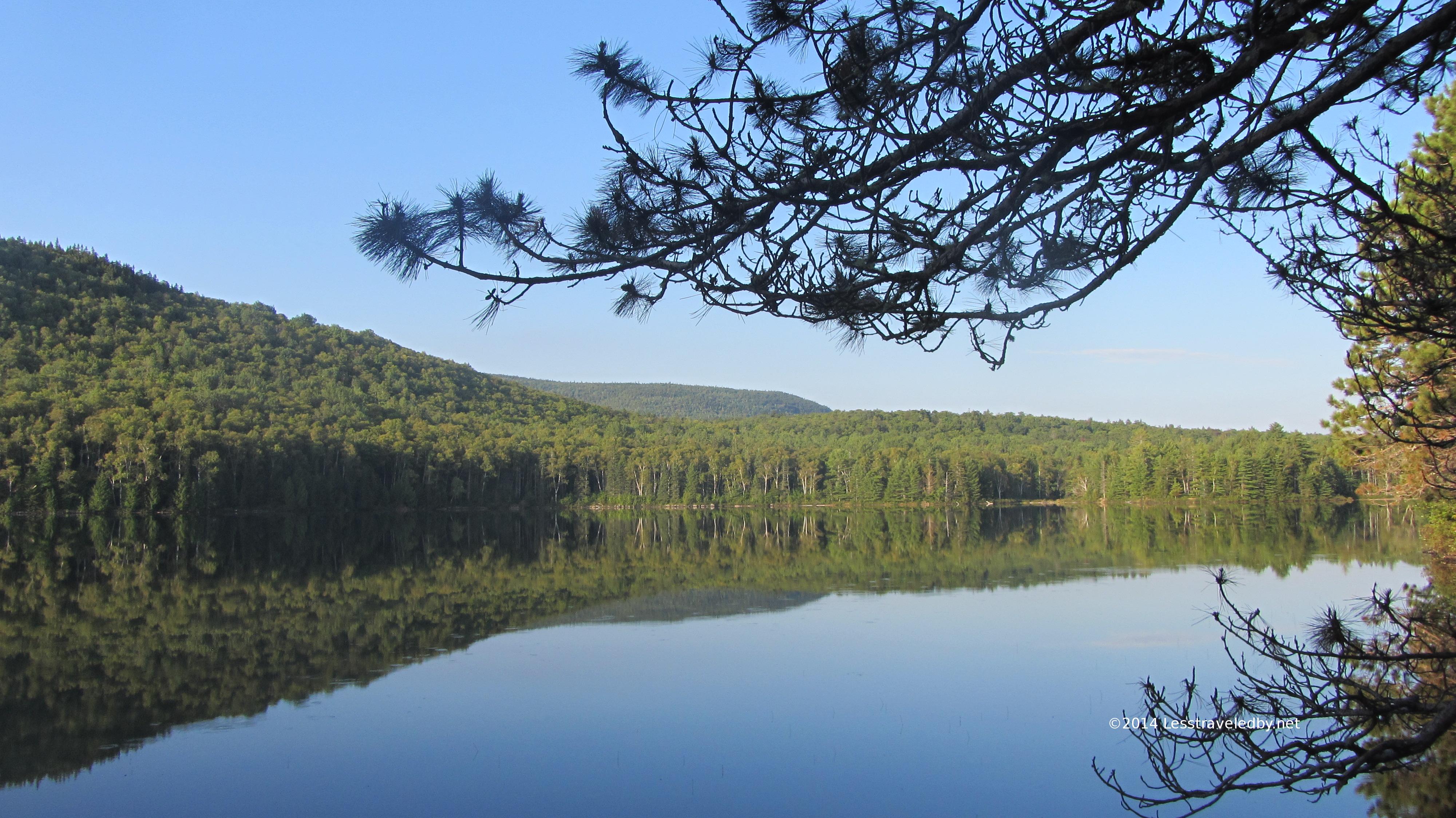
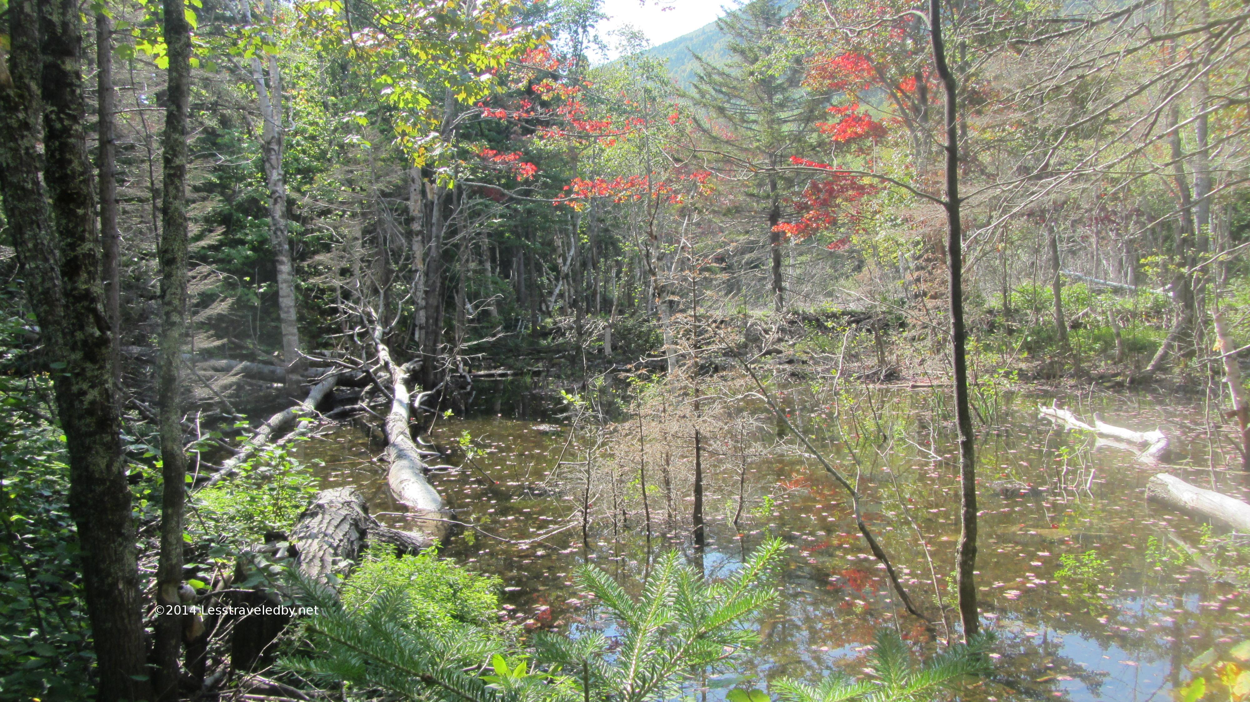
After leaving the brook behind I hiked on and up for a bit. Just when I was starting to think the trail must have bypassed the pond I came into this boggy area and stopped to look at Whitewall Mt in the distance. Then I noticed a splash of blue out there and realized I might get to see the pond yet.
The trail actually followed near the shore for a while with some access to the water. There also were what looked like some camp sites along the trail though they were way too close to the pond and the trail to be legal. The water had that brownish color one expects to find in ponds, especially late in the year. I knew I’d be seeing a brook again soon so I didn’t mess up my filter here.
I did stop for lunch at the AT intersection. The raised bog board there seemed designed to be used as a bench as my stomach pointed out so it seemed a good idea.
This section of the AT between Ethan Pond and Zealand Falls is a gently flat section nestled in the middle of the rocky steep trails one expects in the White Mts.
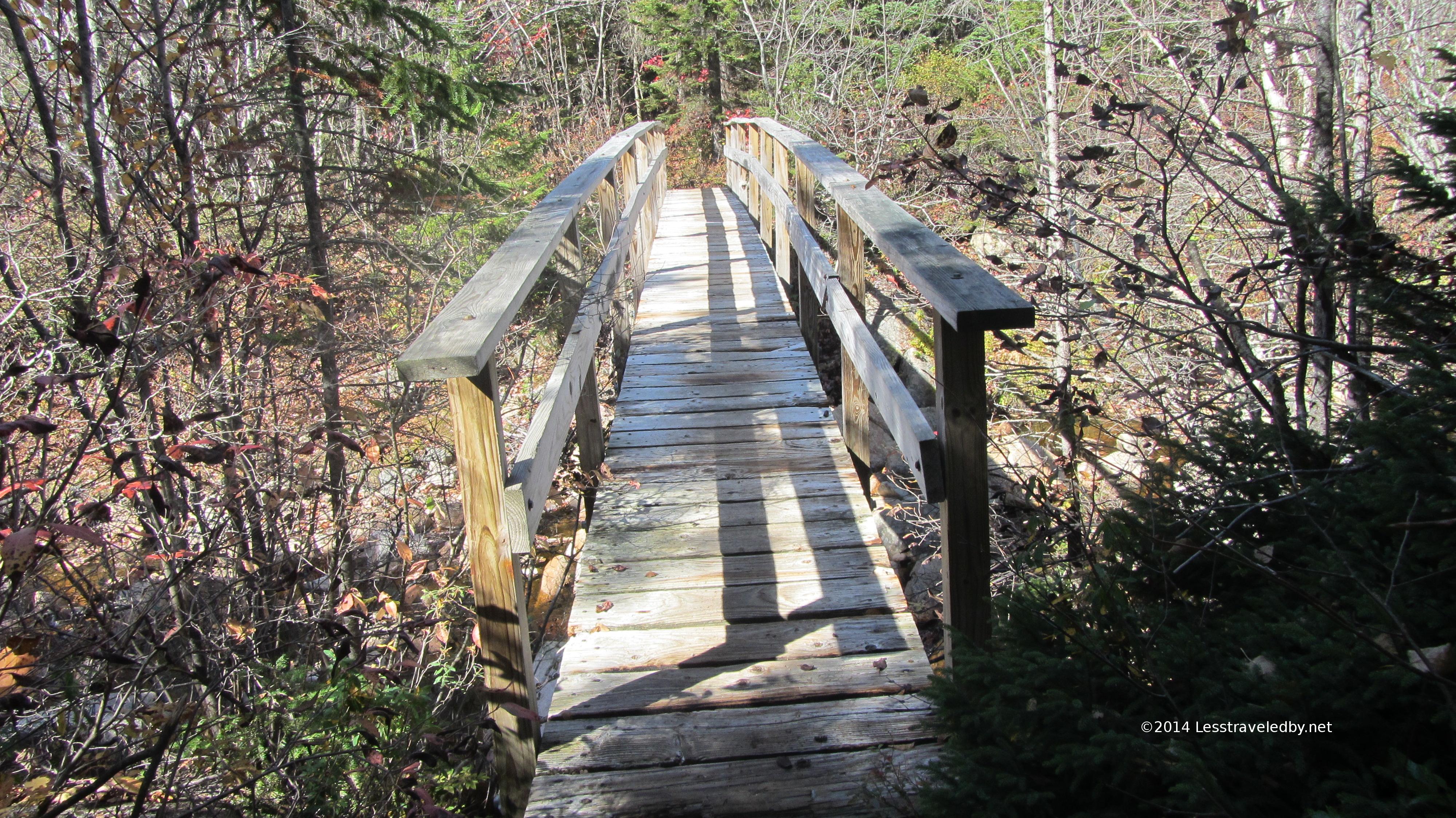
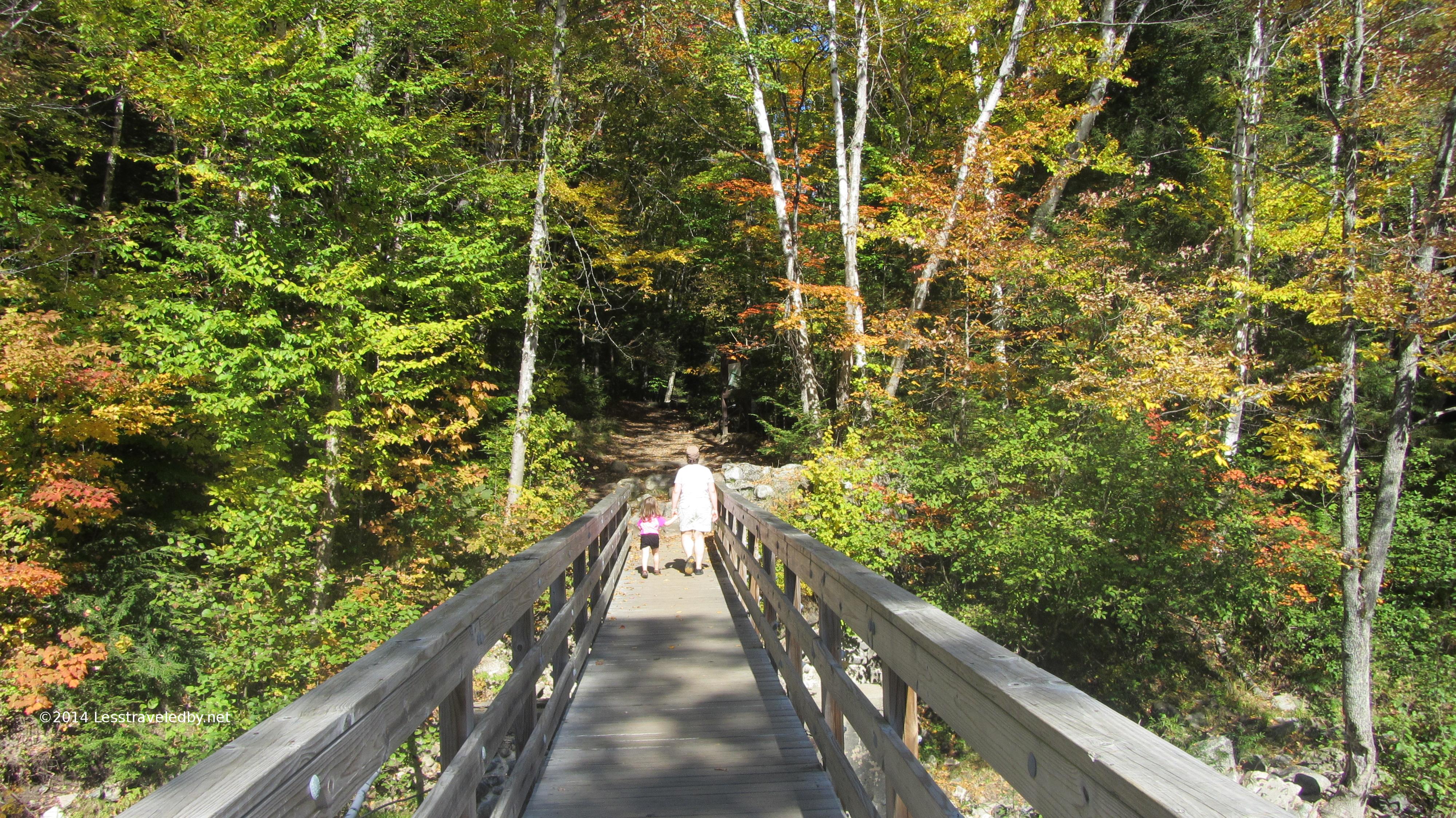
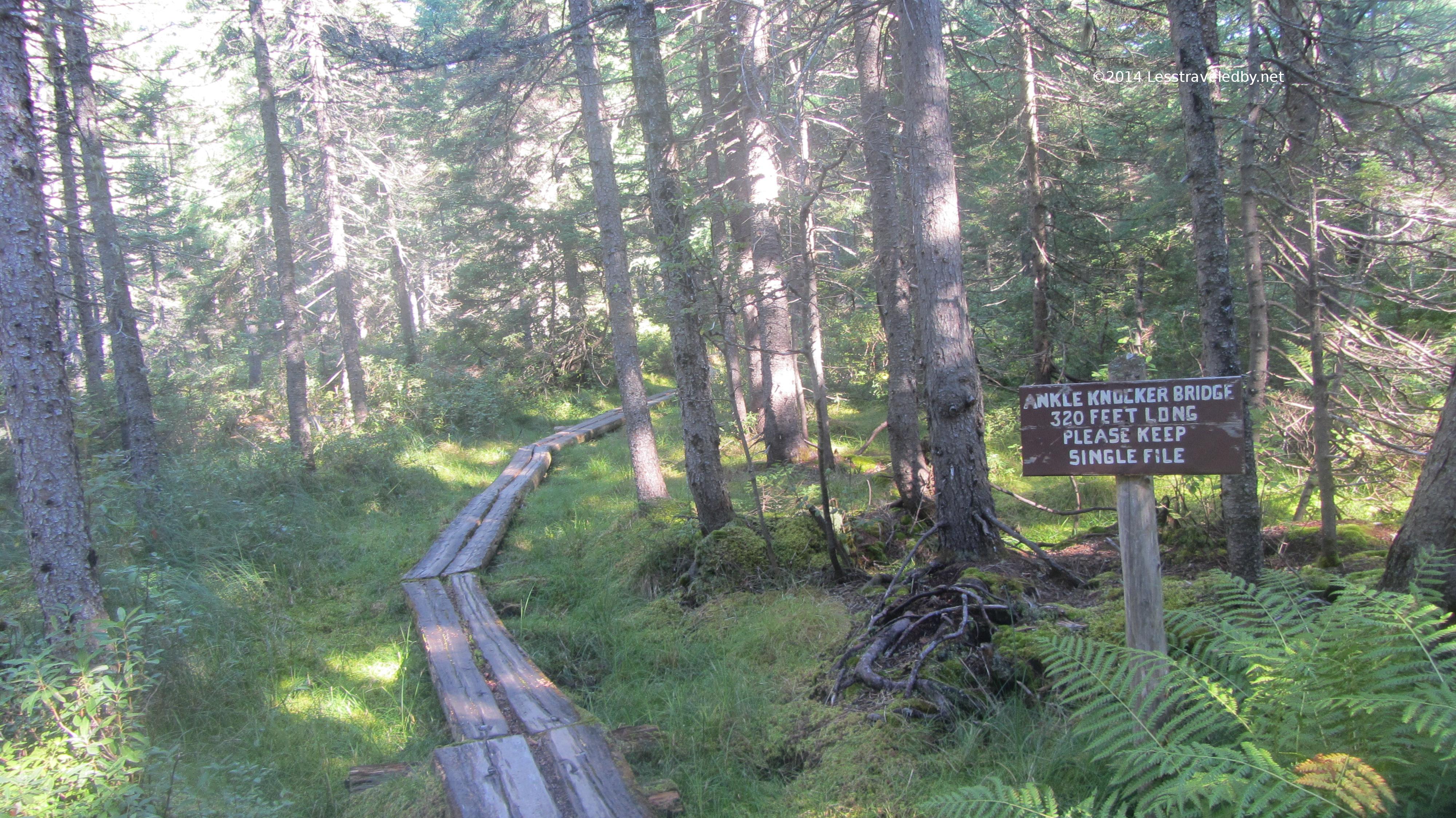
There is even this pretty little bridge over the upper reaches of the North Fork above the falls. After time in the wilderness area where there are no bog boards or even blazes it seems like the height of luxury.
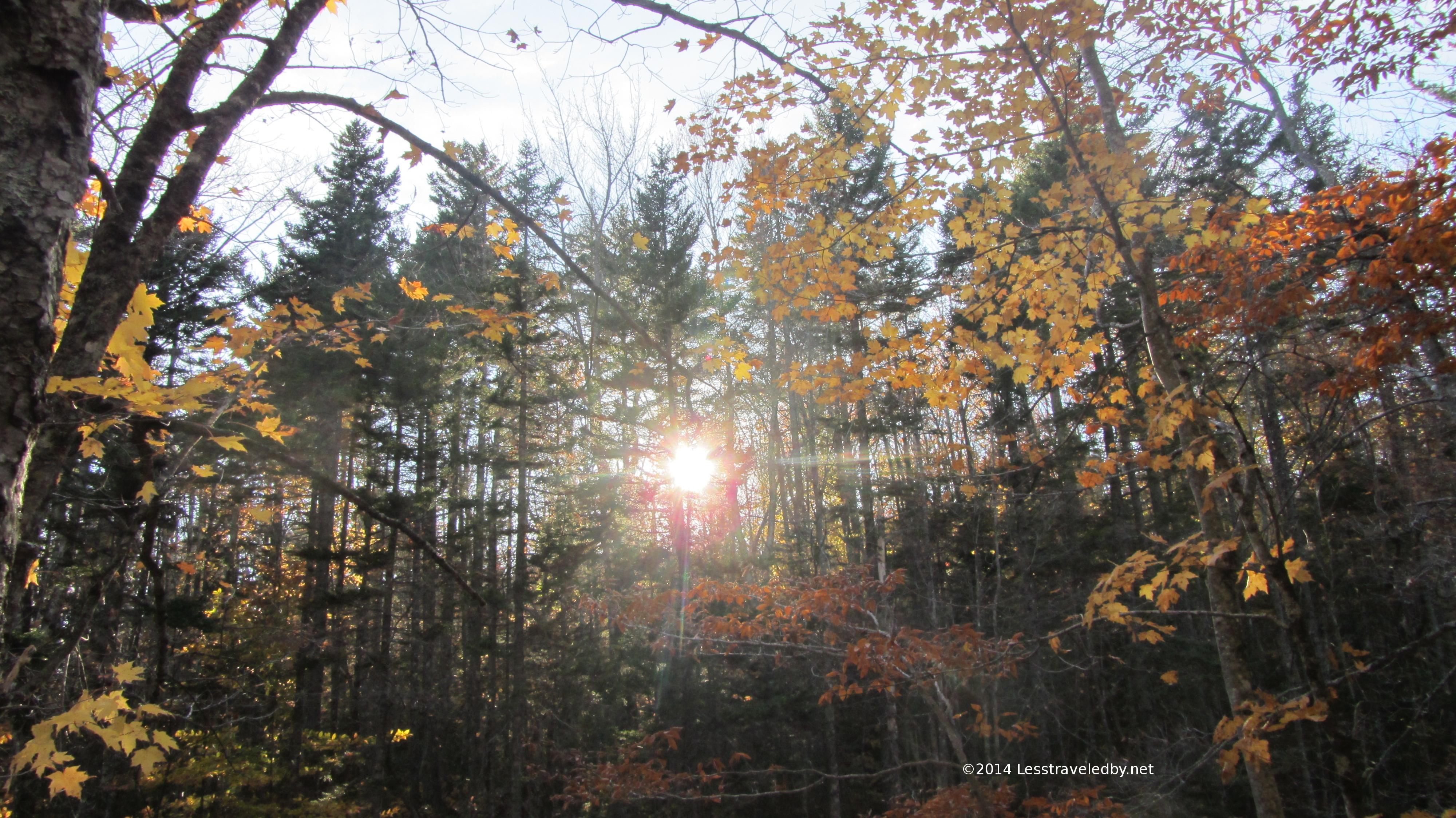
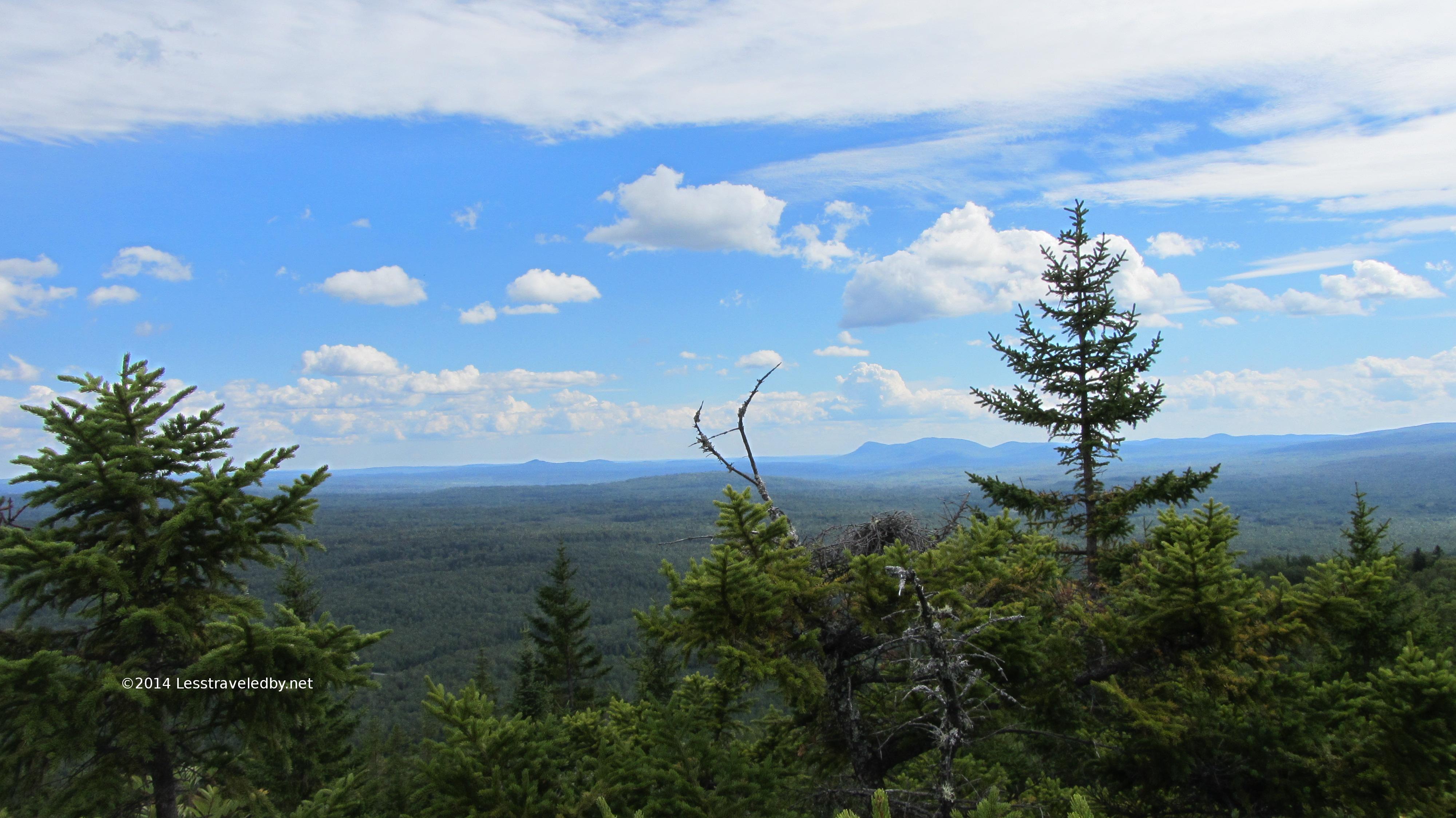
The trees in this area had been pretty well wind scrubbed of color leaving the pines to stand out.
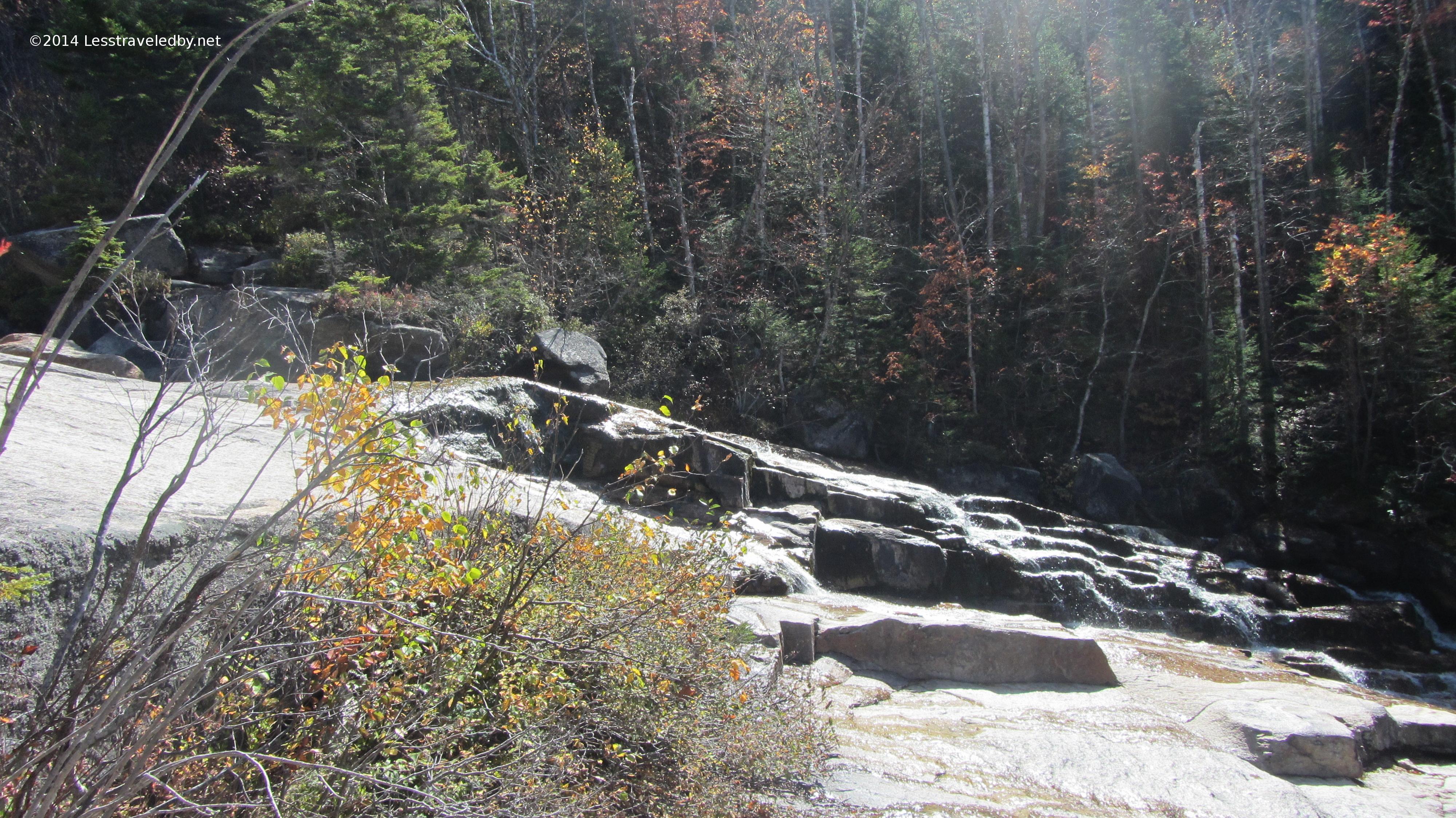
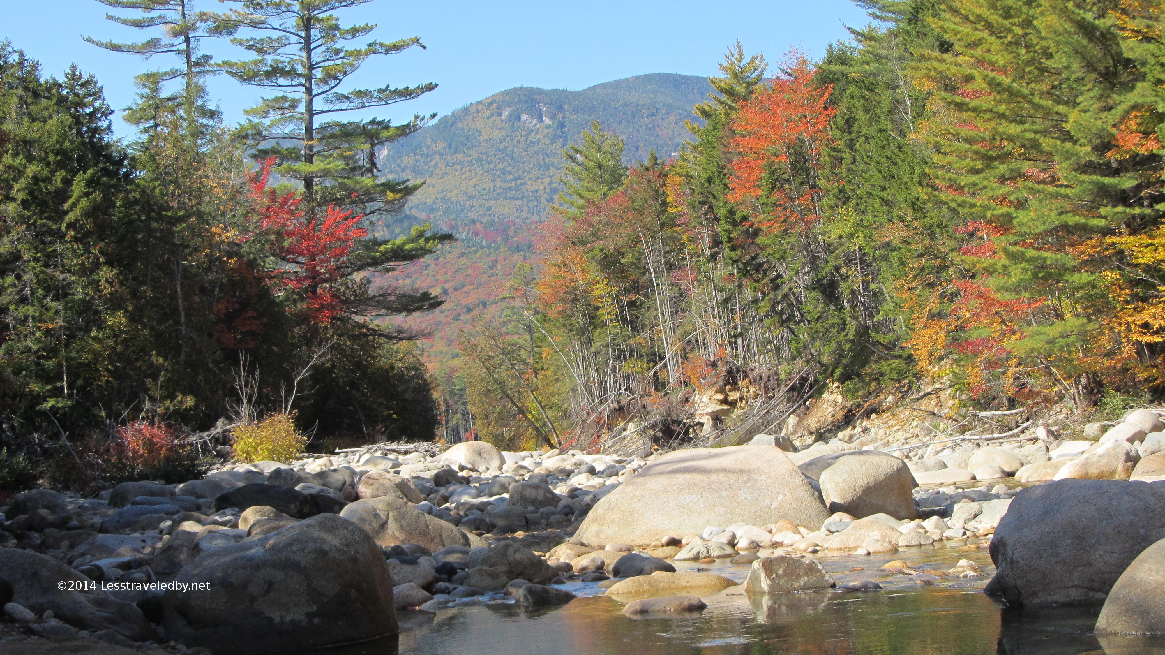
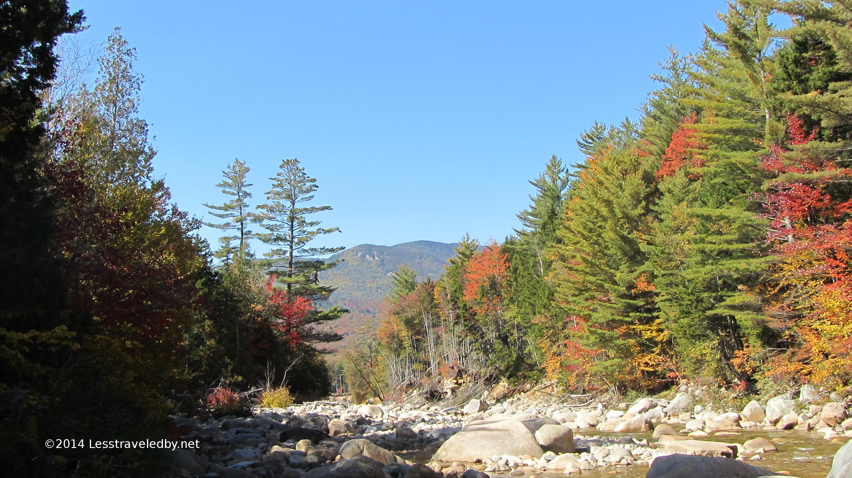
Thoreau Falls was running even lower than the last time I came this way. I have a feeling this also would be an overly exciting crossing in high water, especially given the big drop of the falls below.
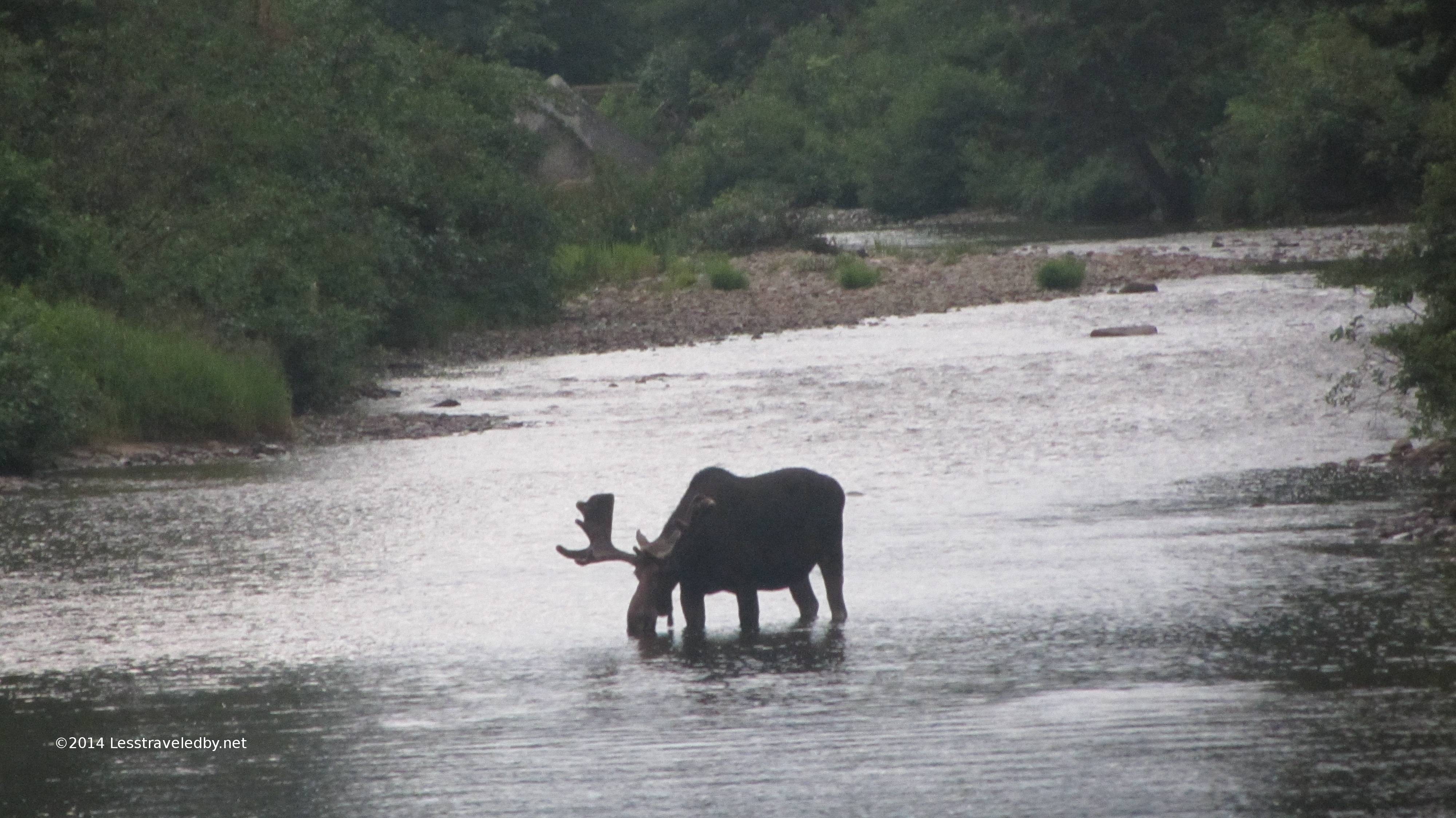
There was something to look at there that day though! I must have taken a few dozen pictures here hoping that one of them might capture what I was seeing. There was a nice couple I met there having lunch and once we all got over the shock of seeing someone else out there we had a lovely chat. They seemed to be doing a series of day hikes and were impressed with my ability to rattle off peaks and trail names. When they heard that I was camping in the wilderness rather than at camp sites they seemed surprised. I guess some folks are ok with visiting the wilderness for a few hours but they don’t want to live there heh.
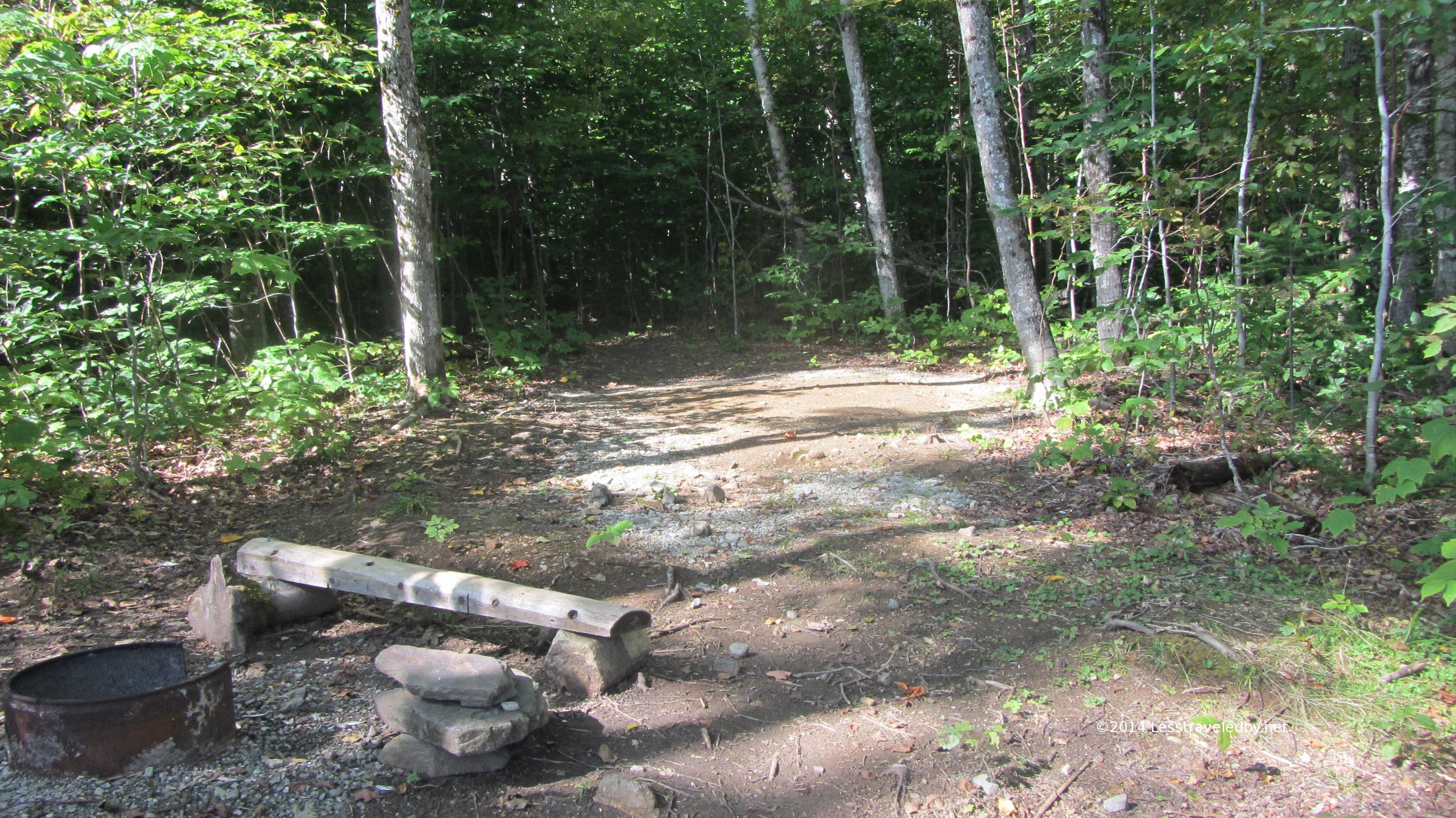
Farther down the trail I found a place to set up camp and enjoy the heart of the afternoon in peace. The carpet of dry leaves here was thick and every gust of wind set them rattling.
I had plenty of time to enjoy the faded sun on the faded leaves with the brook gently bubbling at my feet. In my role as gear reviewer I was working on several edible items which was great as it gave me an excuse to eat several snacks so I could photograph them being used in the wild. Well and because sitting around eating after hiking is something I enjoy.
The days are short this time of year though and sadly this would be the last I’d see of the sun on this trip. I’d been up early and it was dark soon after dinner so I found myself in bed by 7pm. By the time it started to get light almost twelve hours later it seemed I’d been in that tent a few weeks. I’ve been trapped in a tent by weather for long periods before, but I tend to find that exciting and fun. A long night of tossing and turning between a series of fifteen minute naps just made me cranky.
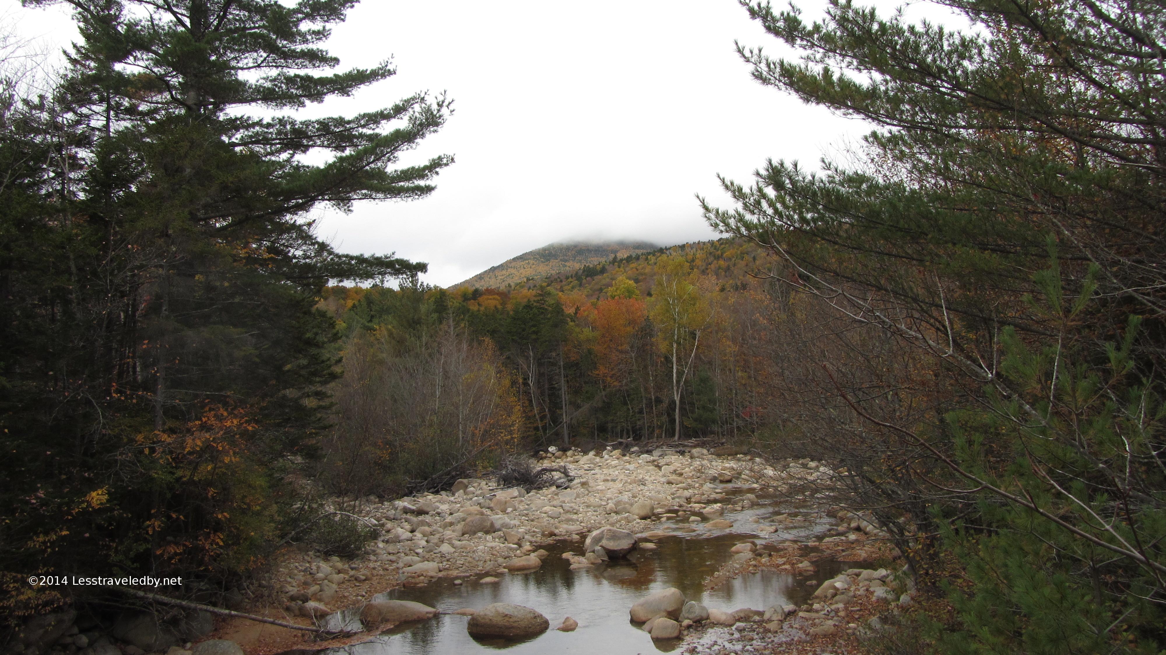
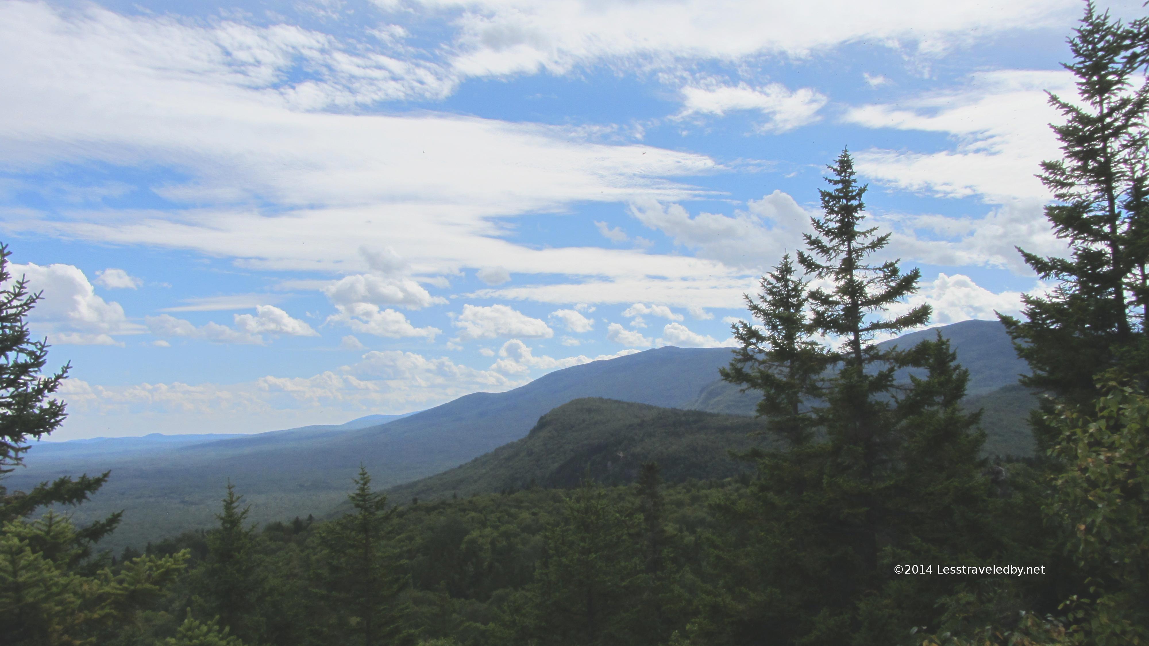
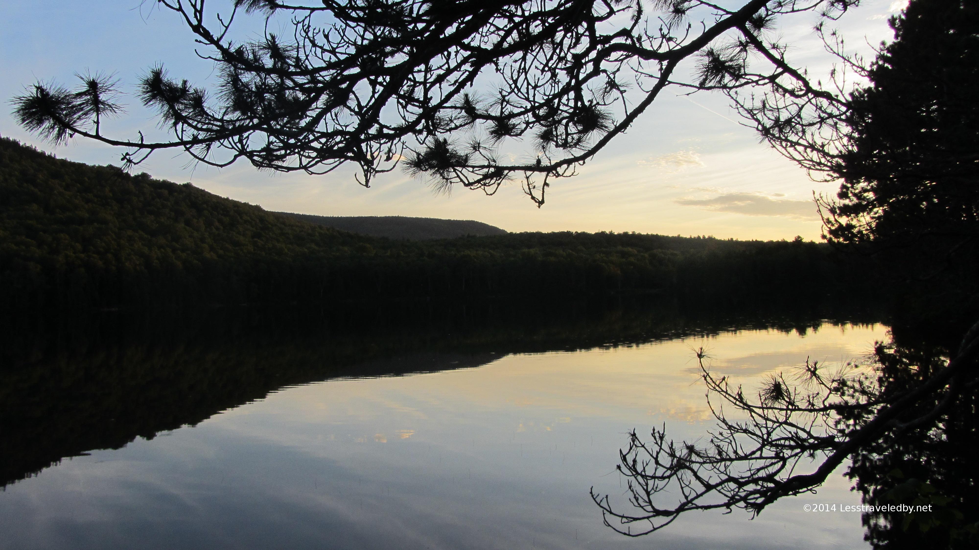
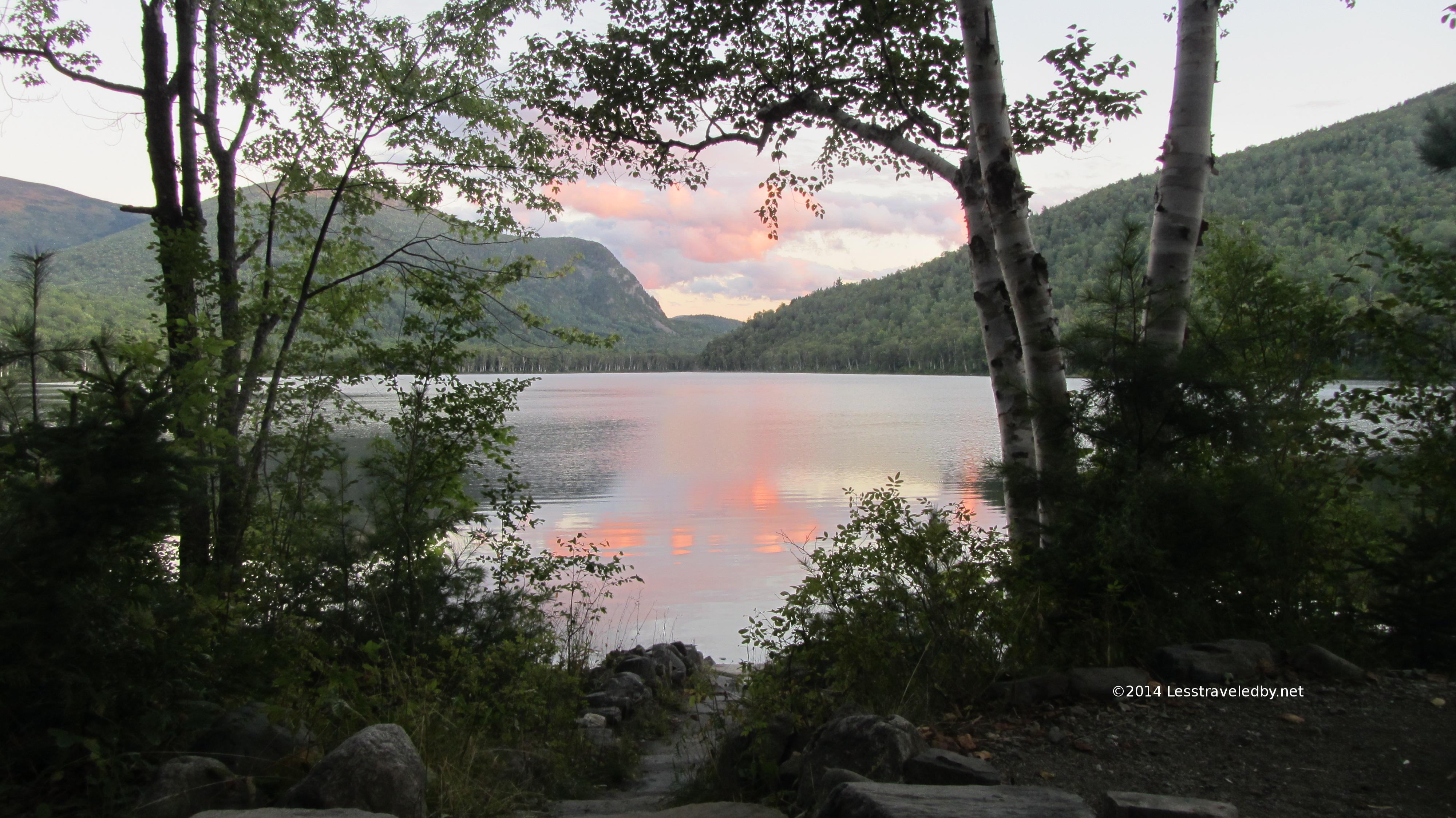
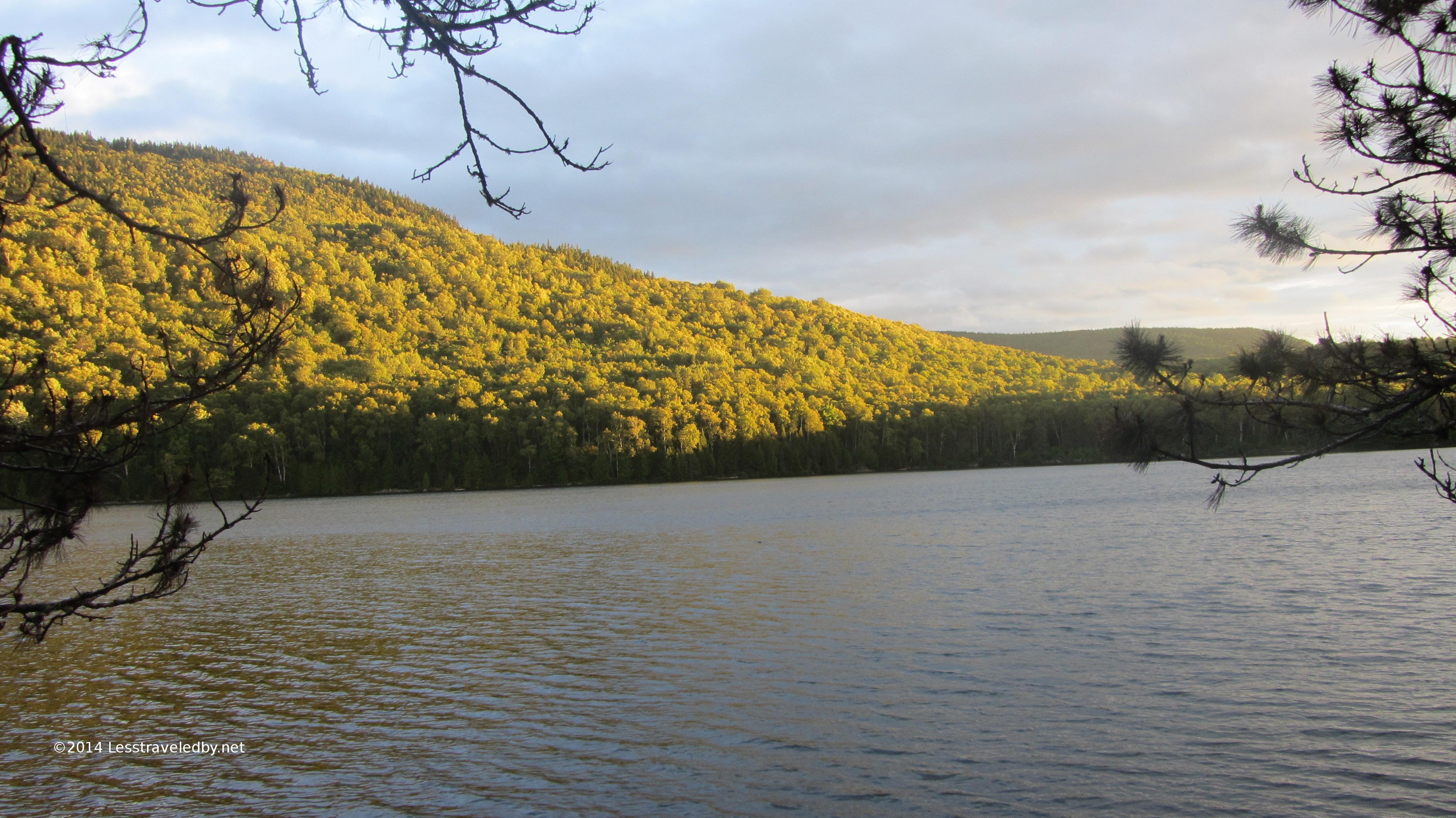
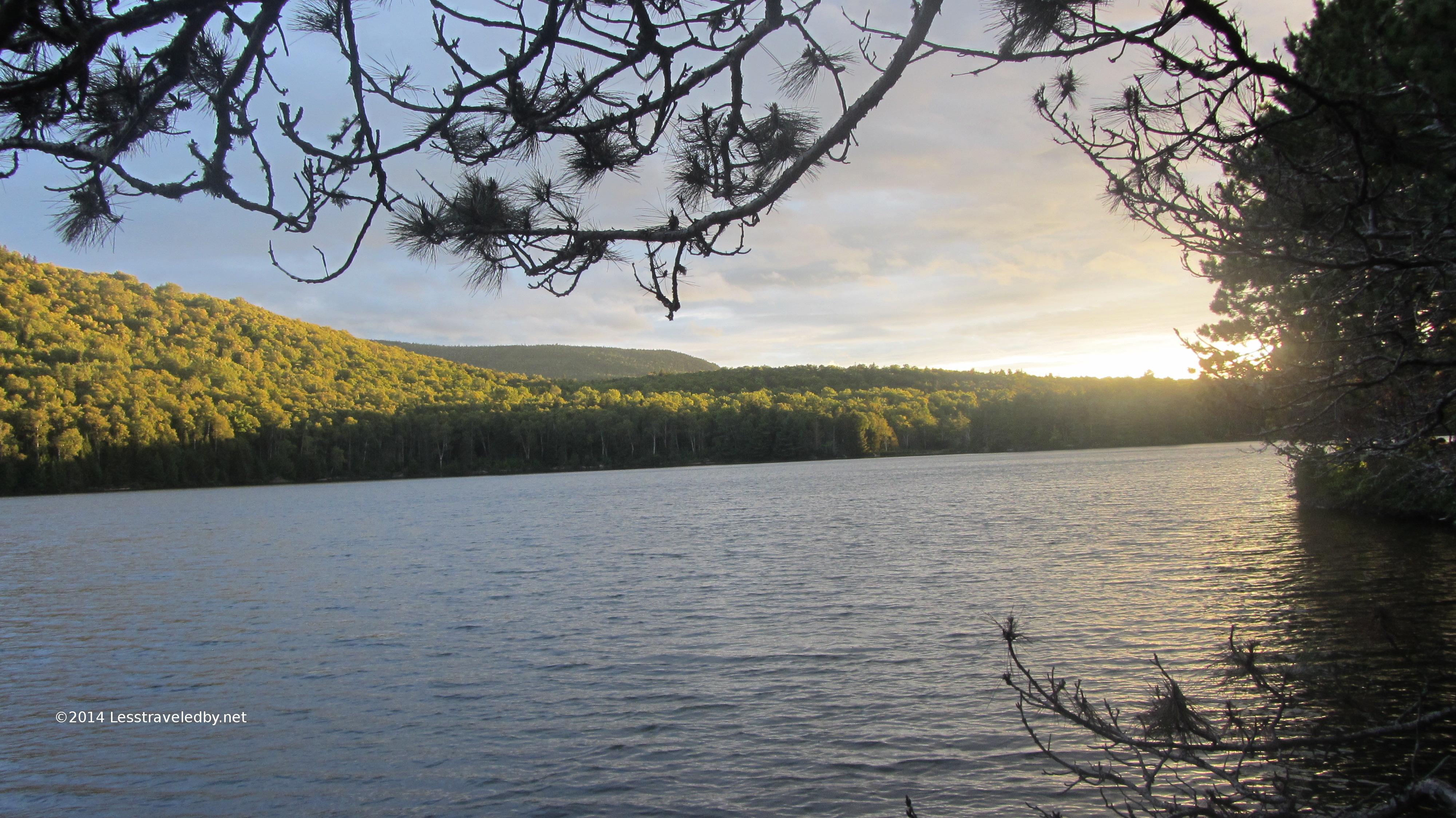
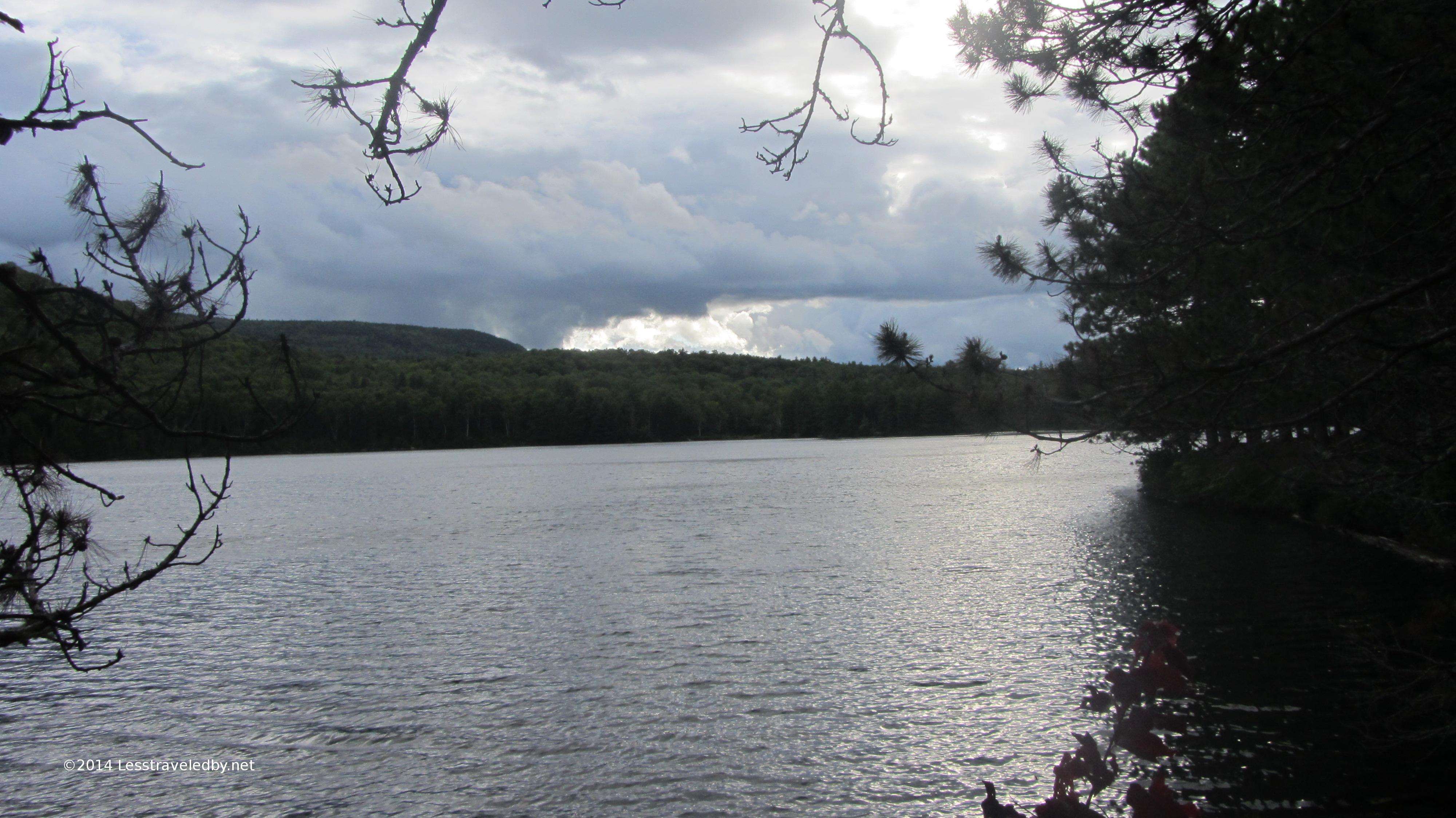
The weather had turned by morning with a storm expected later in the day. My plan had been to hike out to the tent sites and ride out the rain there before riding home the following day. This was my view from the footbridge looking towards the Bonds. You’ll just have to trust me that they are back there behind those clouds.
With the nice cool weather and the flat trails I found myself at the tent sites before 11am. It was a Saturday and there was only one or two sites occupied. I started pondering which site would be best for an extended rain event when it occurred to me that I was just a few miles from the parking lot and then a few hours drive from a cheeseburger…and boom I was out of there heh. I guess it serves me right that I got nailed by the storm for most of the ride home.
No complaints though. Even if you get wet on the way home, or even if you get wet on the trail, time on the path less traveled is to be savored, appreciated and remembered fondly on long Winter nights.
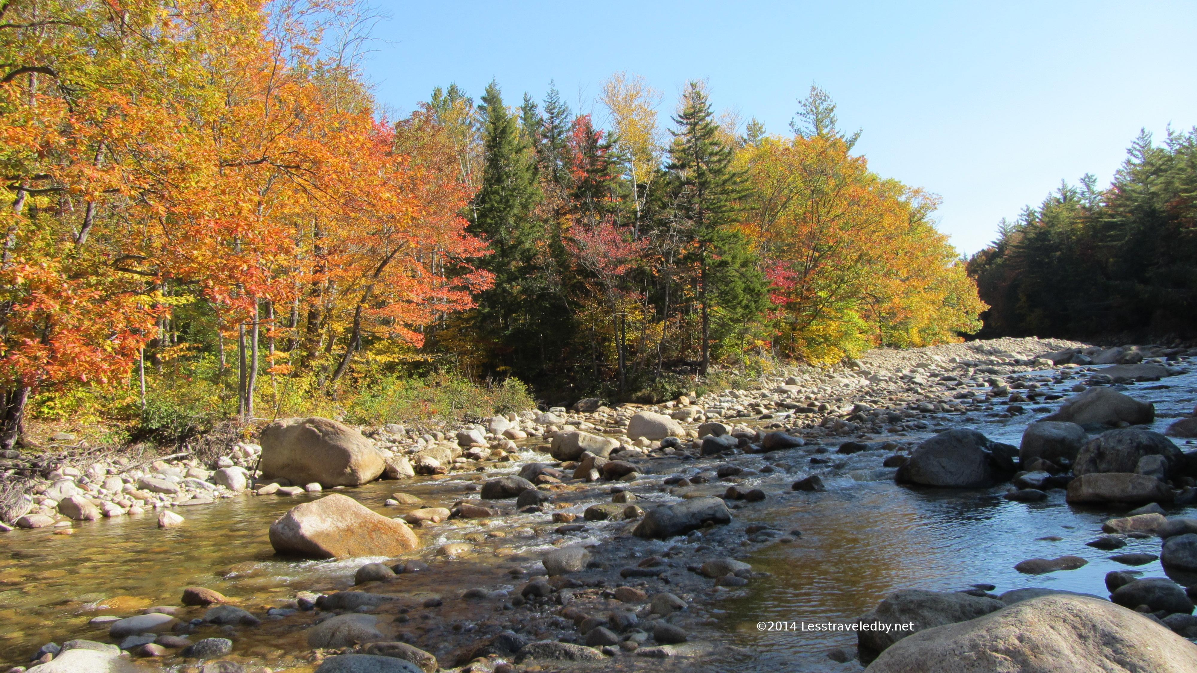
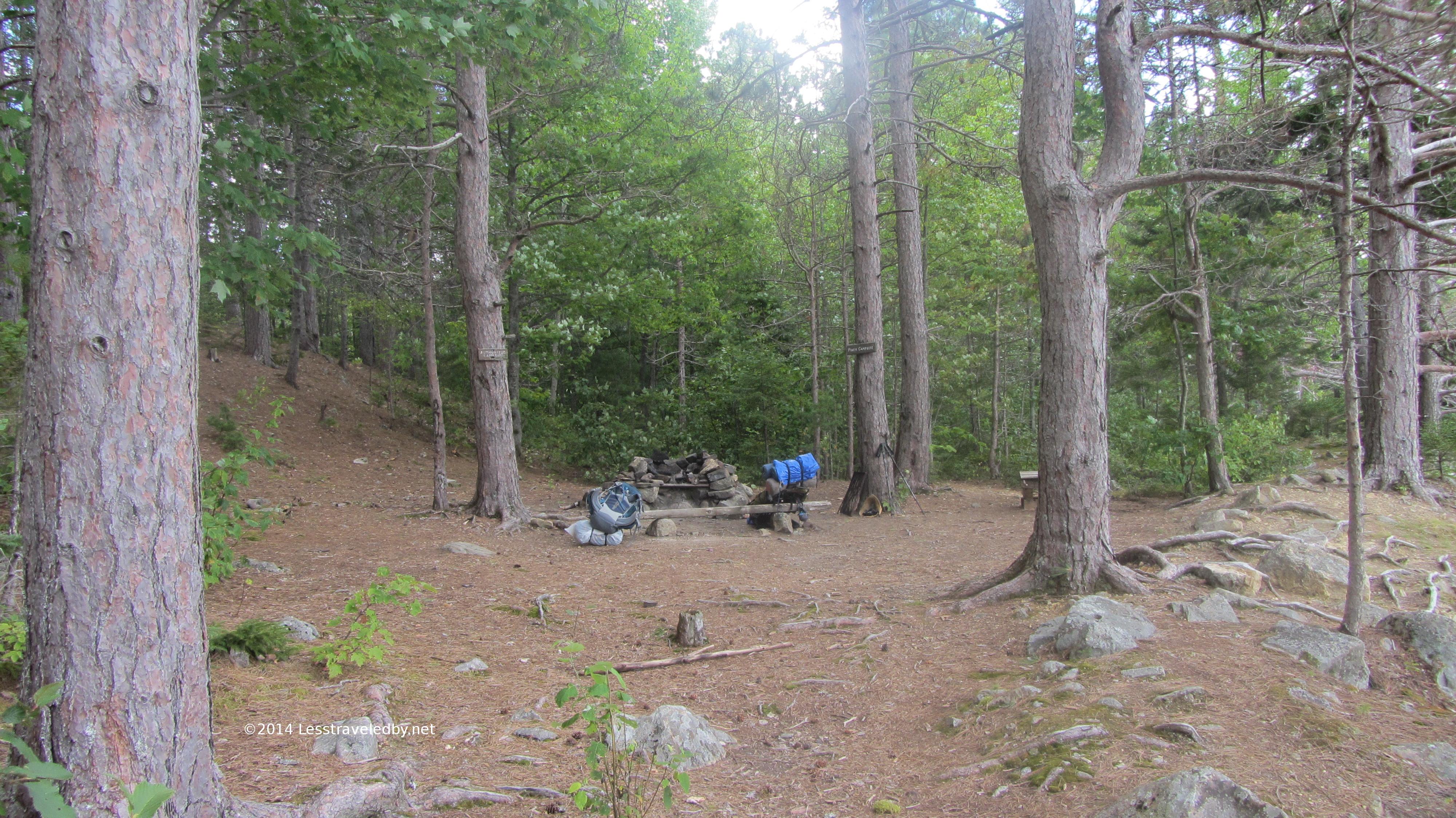
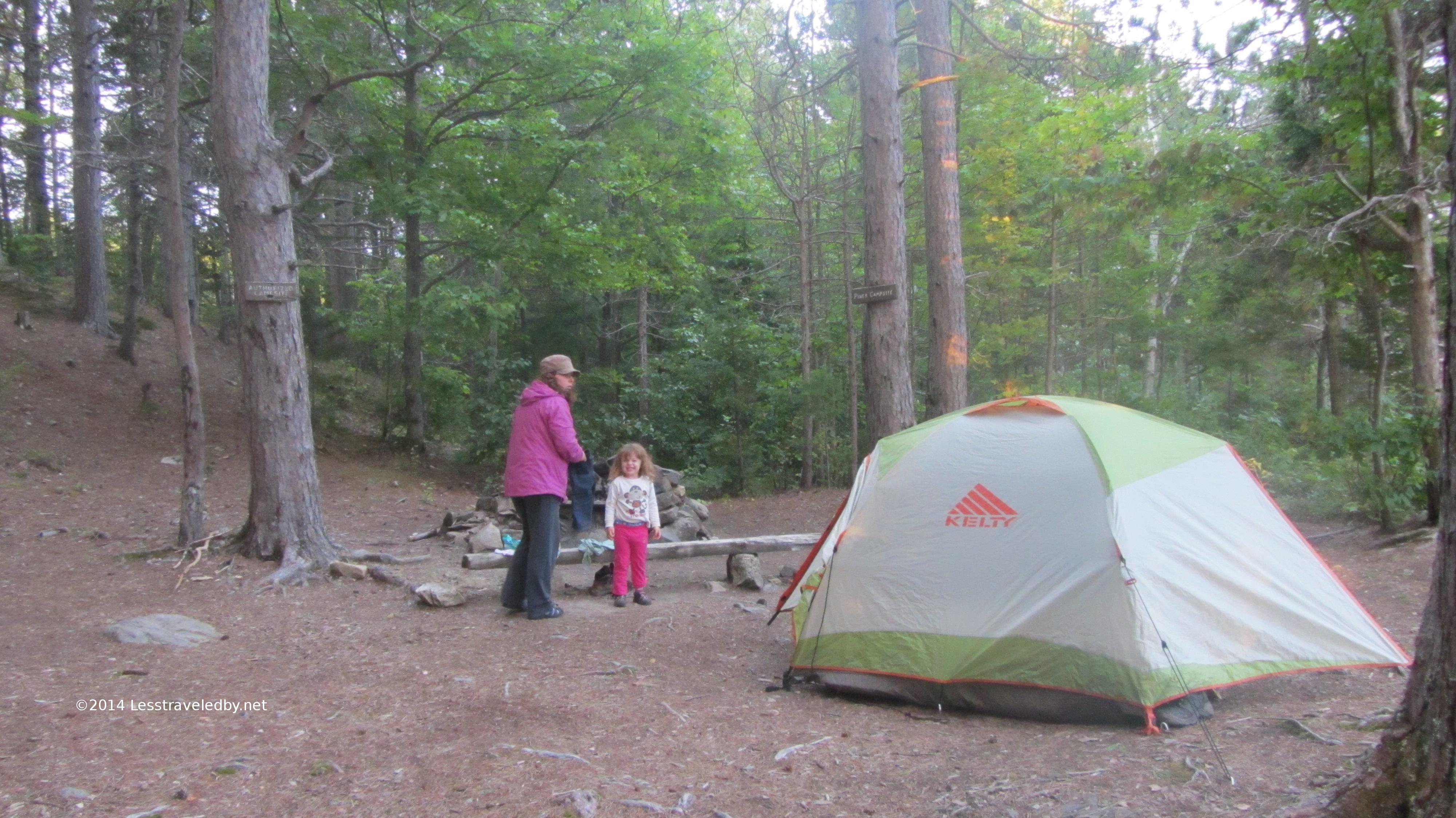
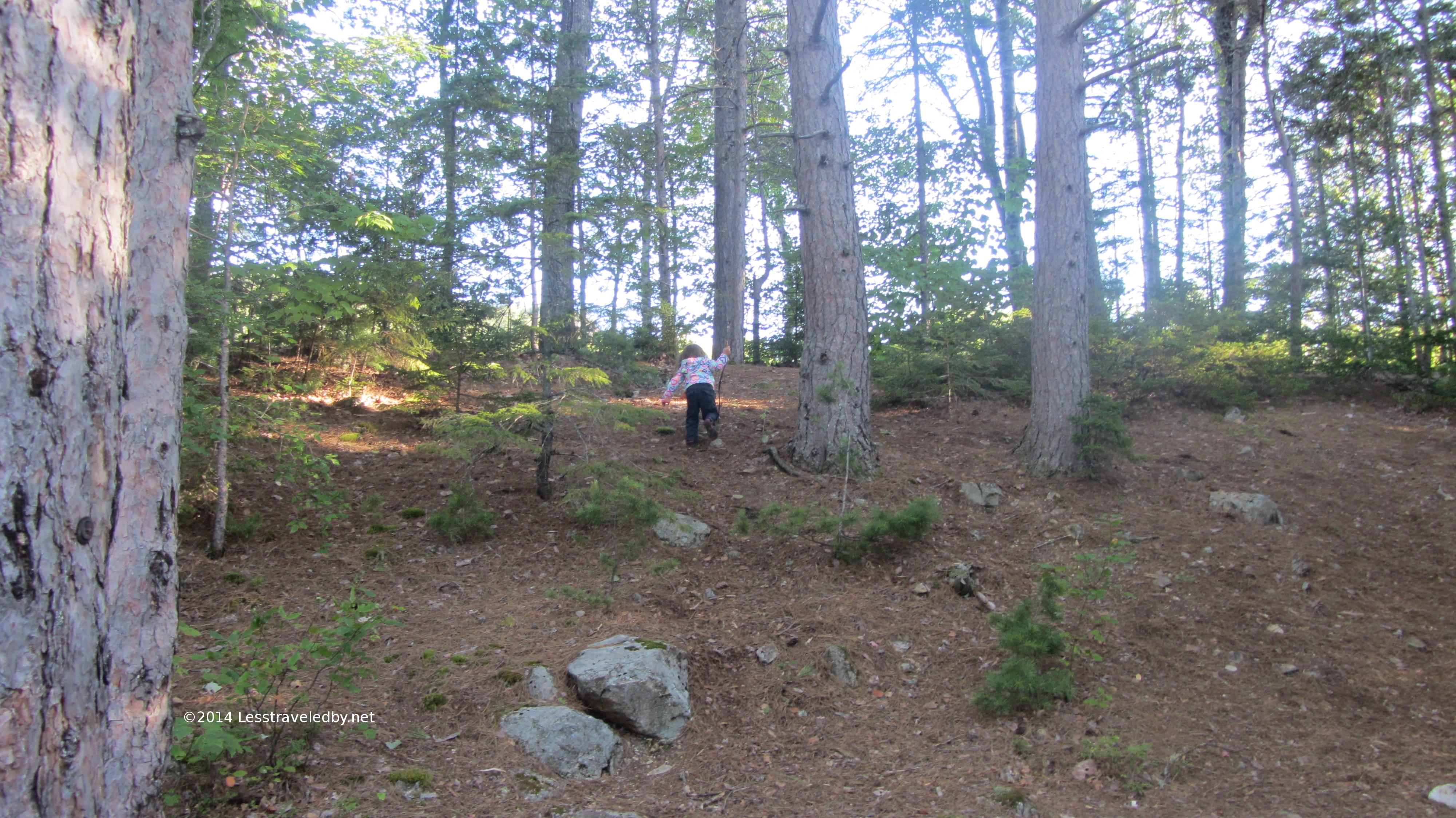
This family trip is the first half of two Fall visits to the Pemigewasset Wilderness. It was a bit past peak color, but the weather was clear and warm for the end of September. We’ve been back country camping with The Tot with pretty good result so we took a shot at camping near other people and set out for the Franconia Brook Tent Site from the Lincoln Woods trailhead.The Eastside Trail runs about three miles from the parking area to the wilderness boundary gate which is where the official camping area is currently located. I’d passed through on my way into the wilderness on previous trips but this was my first time camping here. I prefer getting farther out into the woods to camp alone, but this made sense for a family adventure.
There was a tent pad big enough for the Kelty TR3, though just barely. It is heavy by modern tent standards, but oh so roomy! We have plenty of room for gear inside which is important with kids along. We also brought along some premade, foil wrapped and frozen hobo dinners. Considering my usual diet of dehydrated meals this seemed like the best idea ever. Just some precooked sausage with lots of veggies, but even now my mouth is watering remembering how good it was under the trees with a bit of smoke in the air.
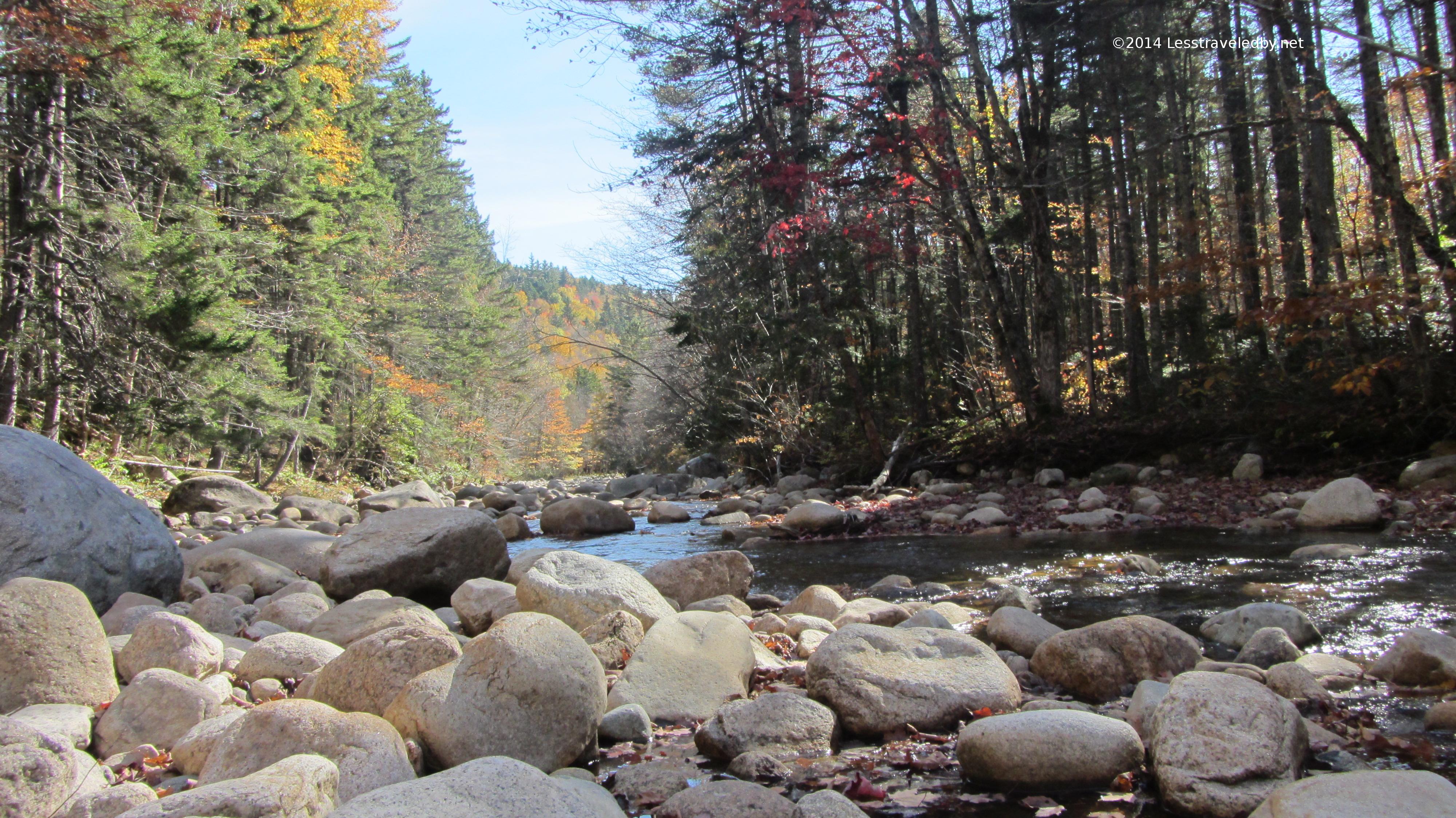
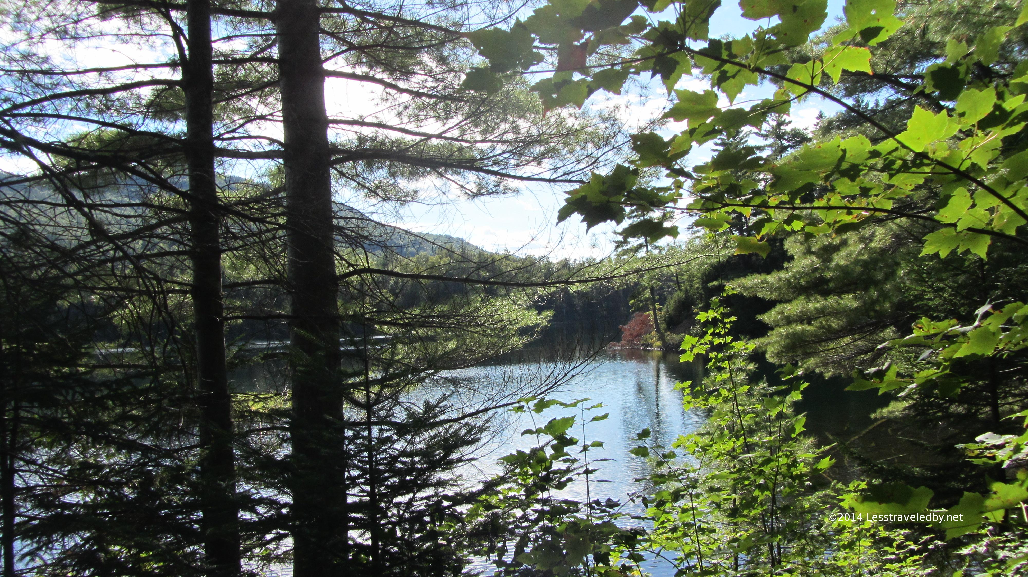
The Pemigewasset River was amusingly quiet. If you are familiar with what it looks like when it is really running this version just seems cute. We spent some time watching folks deciding whether to make a quick wet crossing or a long and complicated attempt at keeping their boots on and dry.
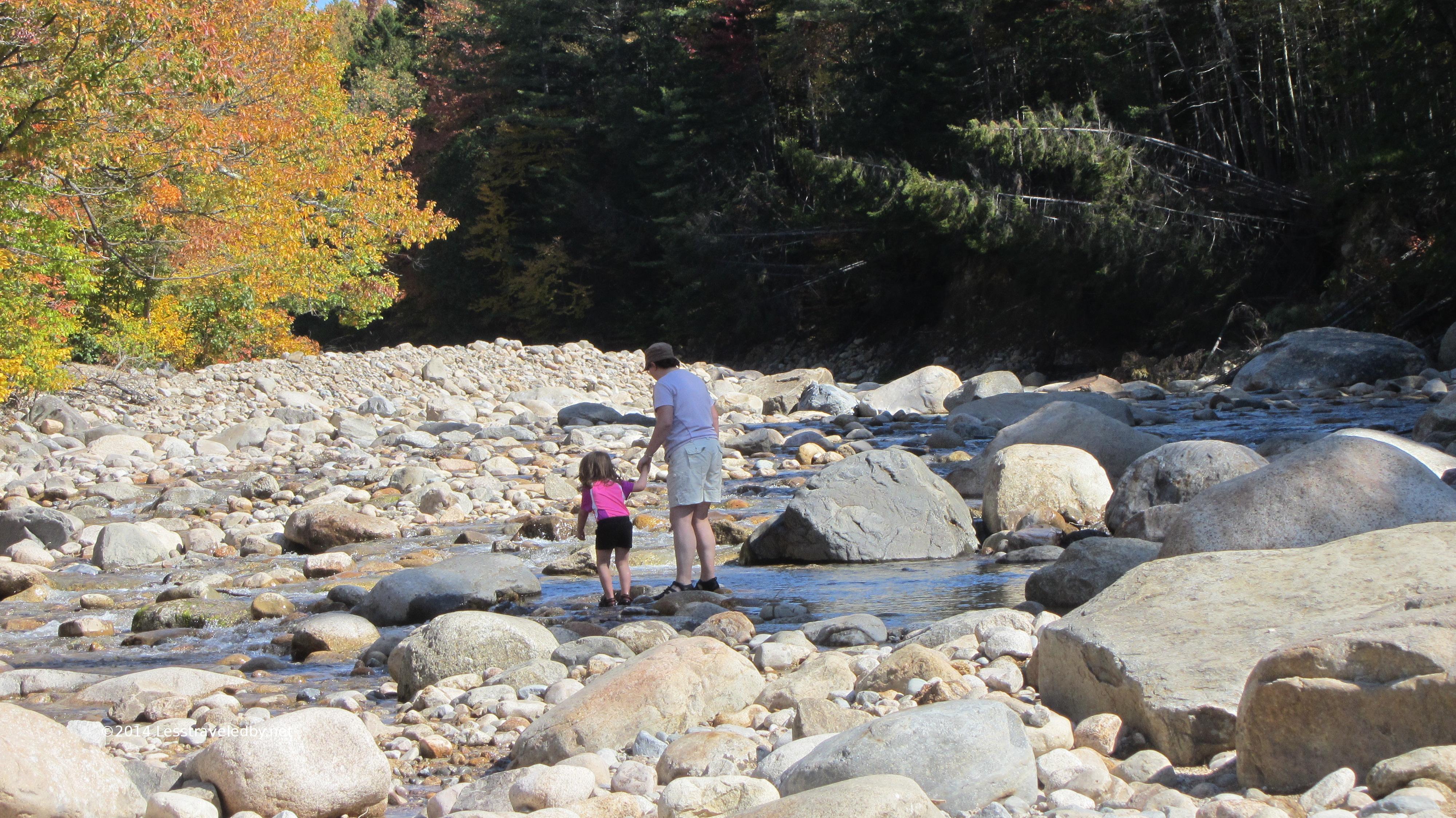
The sun was warm but in the shadows you could feel a hint of autumn. I would have been happy to just hang around enjoying the views all day but The Tot had other plans. First we headed east along the river on the Wilderness Trail for a mile or more with some stops along the shore.
I thought we’d more than worn her out for the day and we’d be able to relax after lunch. As often happens she proved me wrong heh.
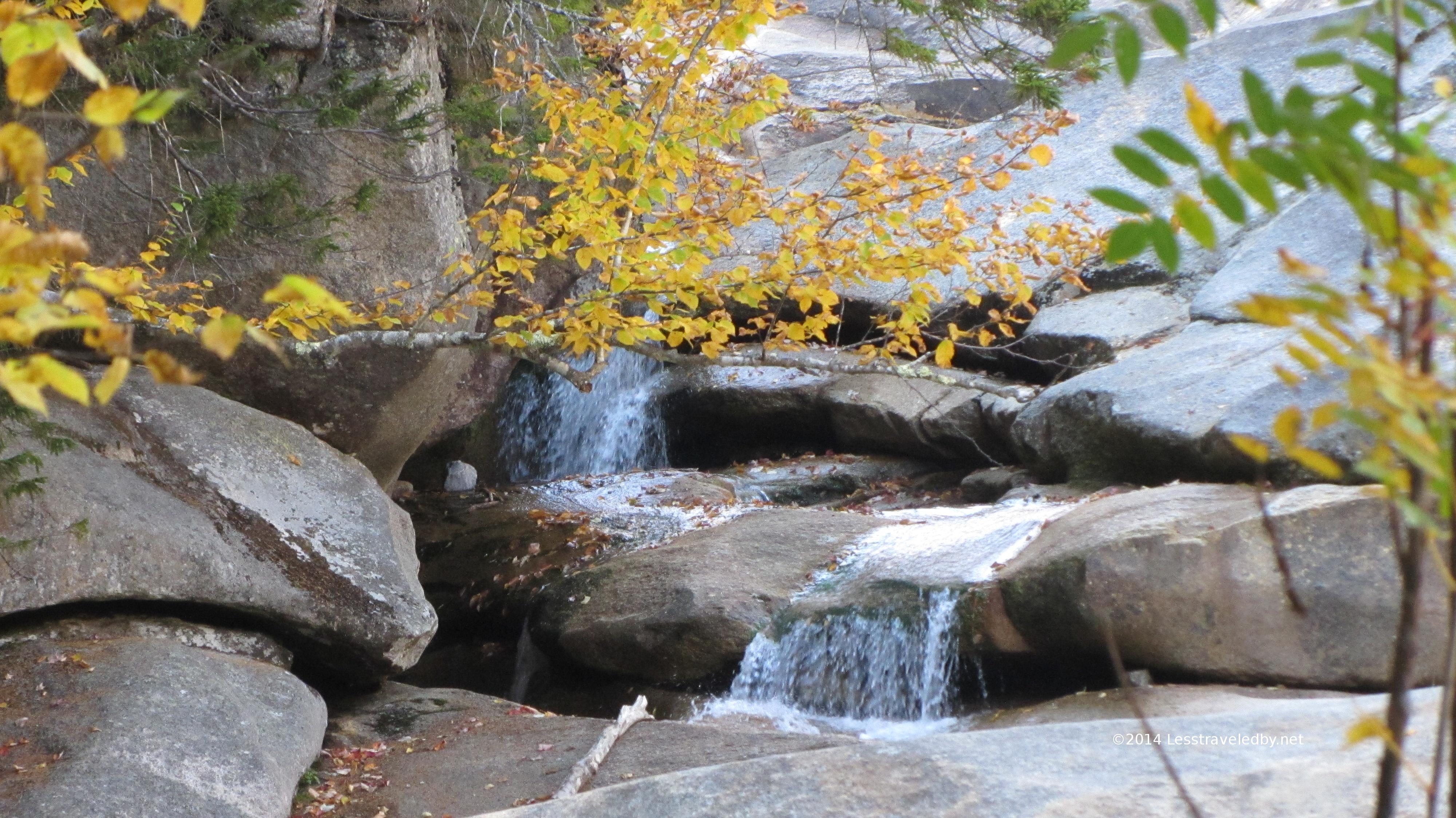
In the afternoon she decided we needed to go on another adventure so we waded across the river and then poked around until we found our way to the Franconia Falls Trail. I kept expecting her to get tired and turn us around, but we went all the way up.
There was just enough water to fill the slide folks like to shoot out of, but not much water in the basin below. Our neighbors from the campsite were doing some swimming, but we just enjoyed the views.
I enjoy how relaxing these family trips can be compared to the sort of trouble I usually line up for my solo adventures. There was a lot of time to appreciate how pretty things were, how great it was to be there with the family and just to be alive in general.
I’m sure the view from up above was quite nice, but looking up at the Bonds from this viewpoint along the Pine Island Trail was certainly worth the little effort invested.
Franconia Ridge in the distance would also provide a fantastic view, but again, thinking about it rather than climbing it seemed the way to go.
No snappy tunes or explosions, but here are two minutes of Fall in the Whites
Compared to our Baxter trips this was definitely not an adventure down less traveled paths, but we had mostly neighborly neighbors and no one seemed to lure in any bears. Clustered camp sites like this will never appeal to me like being alone in the back country, but this place provides a relatively safe and easy to reach entry into the outdoors, especially for those with kids. Lots of day hikes available and water to splash in when you’re done so this place is very popular during the Summer, but less crowded for shoulder seasons especially during the week.
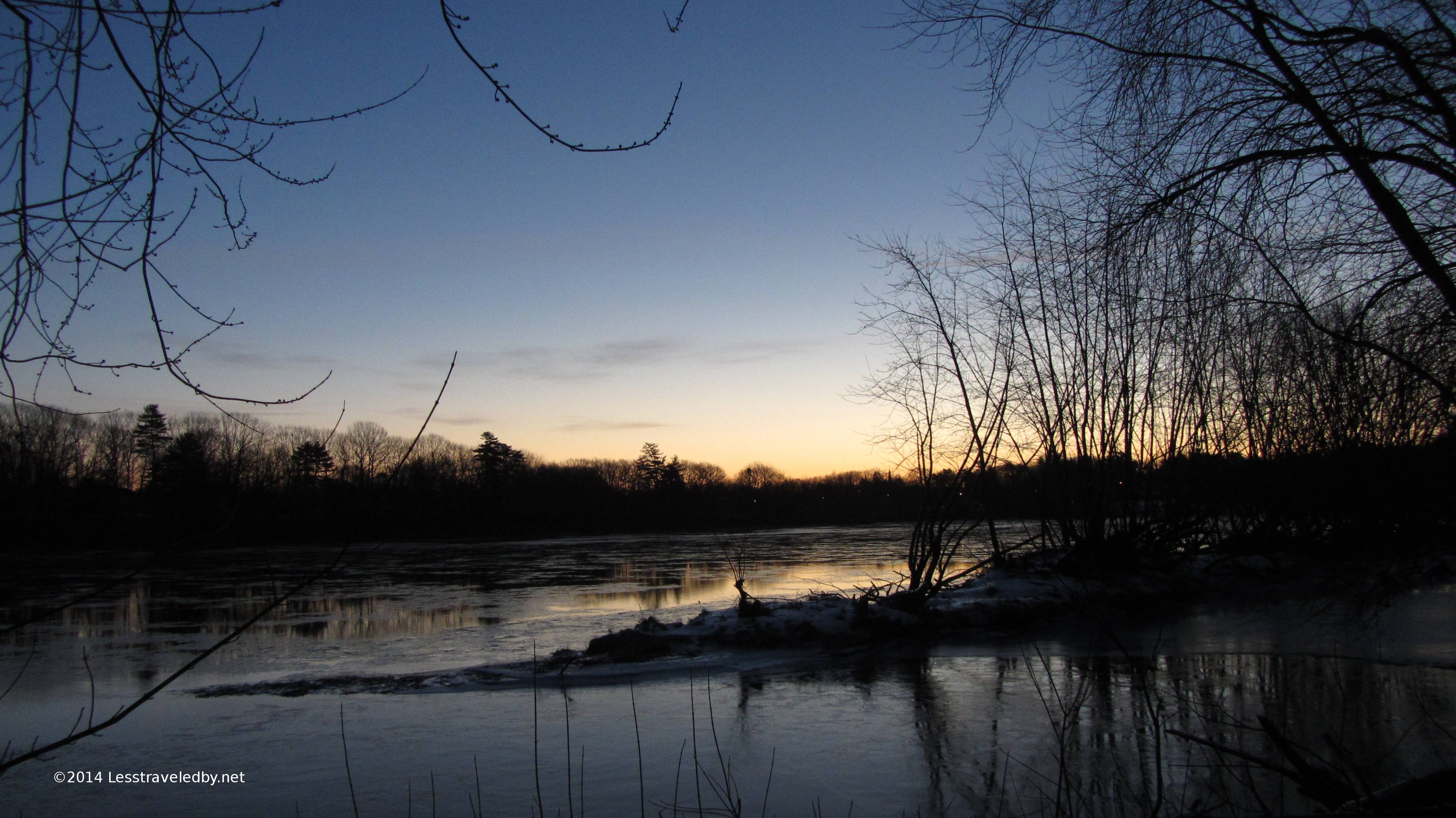
Took advantage of a chilly morning and headed down to the river. I pulled on my Baffins, dug out my hiking poles and worked my way through the woods crunching icy snow with every step. Ice was trying to form on the river, succeeding a bit on the edges and floating down stream in pieces in the middle. There was near constant chattering as the current tried to pull the ice with it so this sunrise wasn’t the quiet sort. As much as I look forward to mid-winter stealthing in the snow I was glad I wasn’t laying in my tent trying to sleep in with all that racket.
I am still short a few adventure reports from the last few months and I’m already pondering plans for next year. It seems I am like that current and want to just keep going down stream, but standing there listening to the ice this morning reminded me that the seasons change for good reason. A bit of time spent being in one place, being still, being but at rest rather than in motion…these things are part of the cycle too. Resistance matters little, winter’s freeze will come and spring’s thaw too in their own time, we’re just along for the ride.
Slowly catching up on a back log of Adventure Reports and this one definitely qualified as an adventure, though not all in good ways. The plan called for a seven day loop cutting through the middle of Baxter State Park south from Matagamon Gate to Roaring Brook and then looping back north on the IAT. Some pretty pictures and a story to tell as my reward I have no regrets at how things turned out, but I hope to get another chance at finishing this loop next year.
Since the park doesn’t allow motorcycles I made arrangements to leave my scoot at a campground near by. The gentle up hill road walk to the gate was a nice way to stretch out the legs after a long morning of riding.
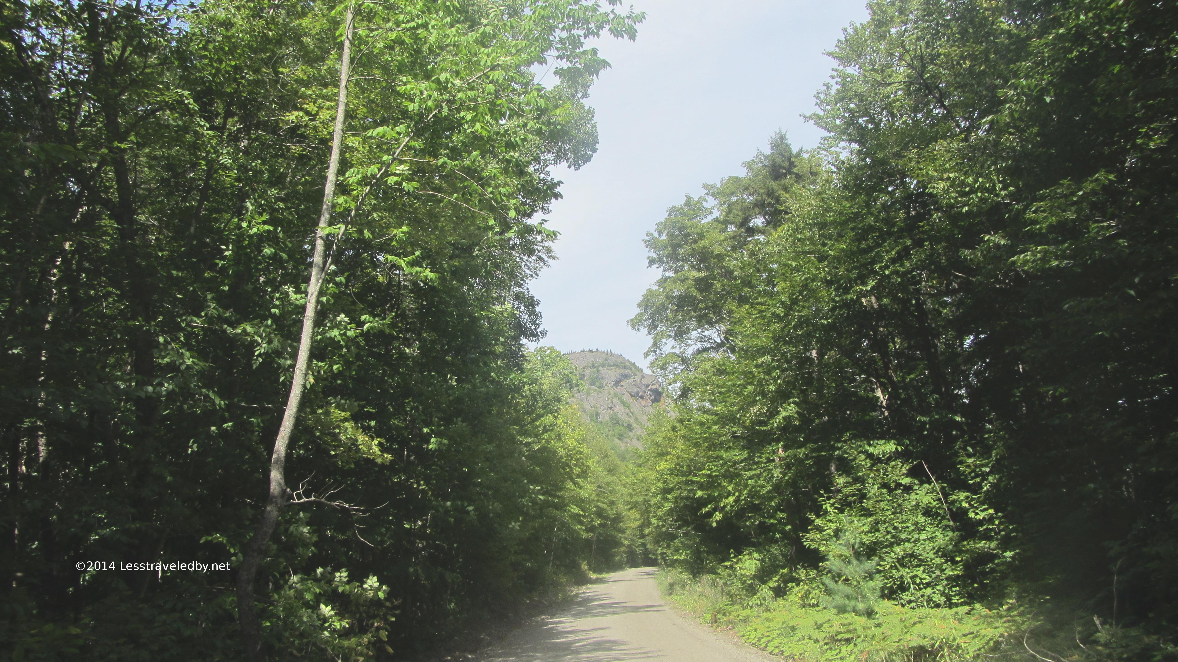
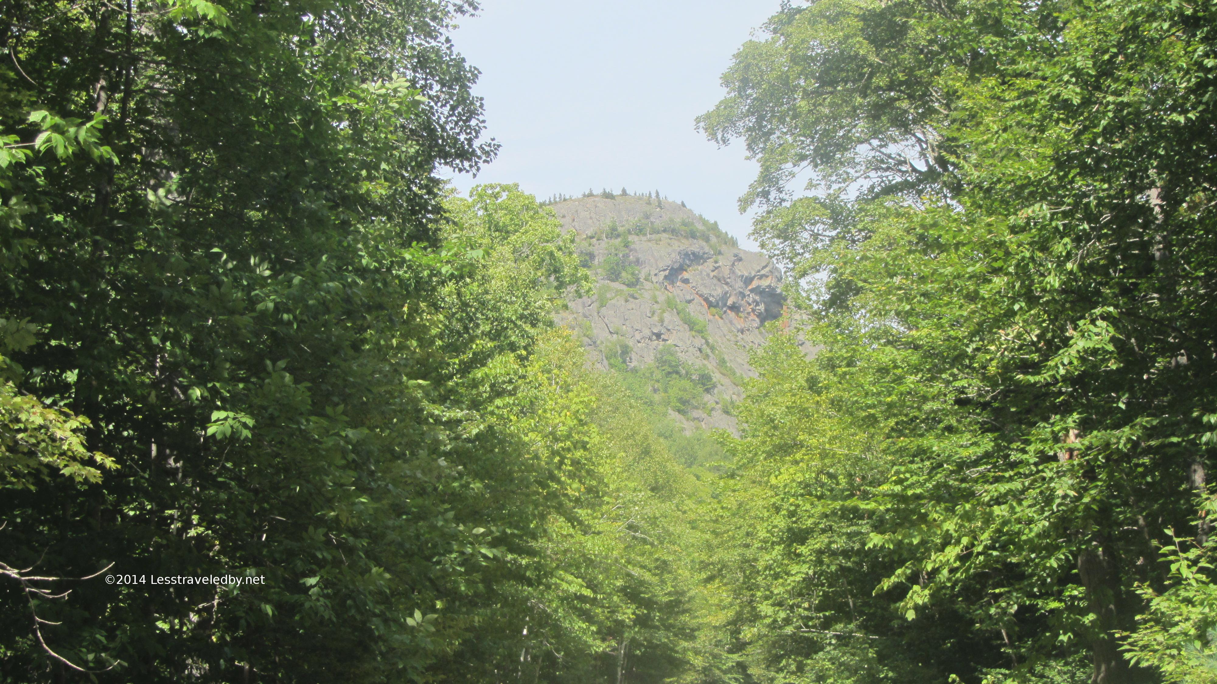
It also allowed some time looking up towards the first climb. That is just one of the lower knobs with the peak of Horse Mt behind the trees on the left. Still it put the road walk in perspective so I enjoyed it instead of complaining. After a quick check in with the ranger at the gate it was great to finish with the road and get out into the forest.
It was a hot day, but the climb of 800′ or so was spread out over more than a mile making for a pretty quick trip to the overlook trail. It isn’t often I make time for side trails like this, but as you’ll see in the next few pics this one was worth the time.
Looking north towards the knob seen on the road walk in. If I was day hiking this I’d have bushwacked over to it so I could get the reverse picture of the road.
Looking southwest towards the Fowler Ponds though I’m pretty sure that is Long Pond on the left
The east branch of the Penobscot is down there somewhere but mostly I was getting a pic of the clouds in this one as I recall
Billfish and Bald Mts to the south, again with nice looking clouds.
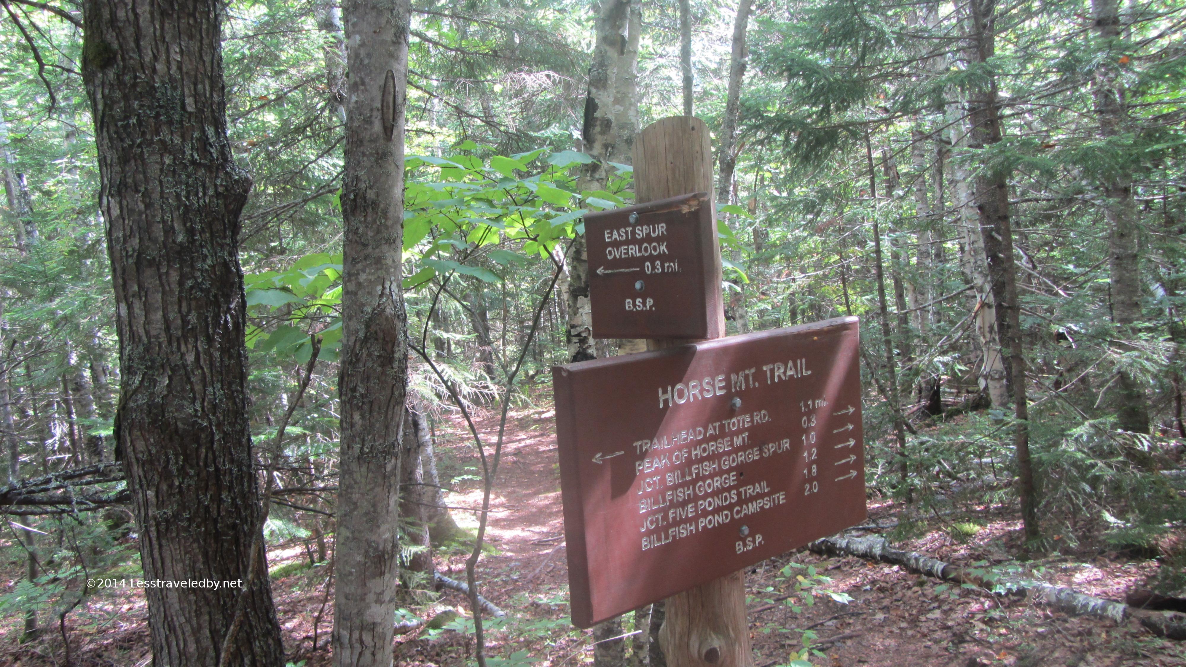
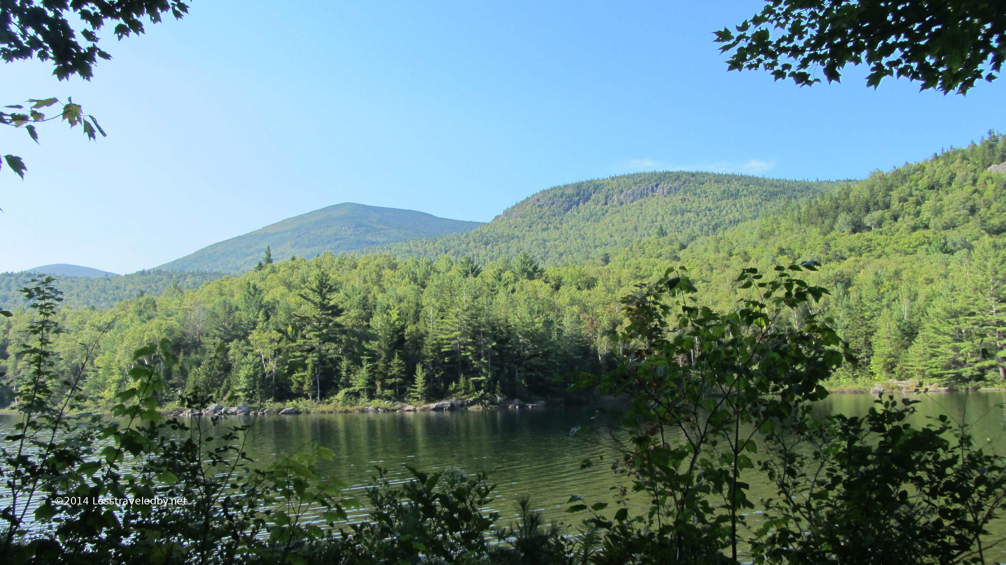
There were a few quick peeks at Billfish Pond as the trail headed towards the camp site and intersection with the Five Ponds trail. The site there is not right on the water so rarely booked. Might be nice with small children you needed to keep away from the pond.
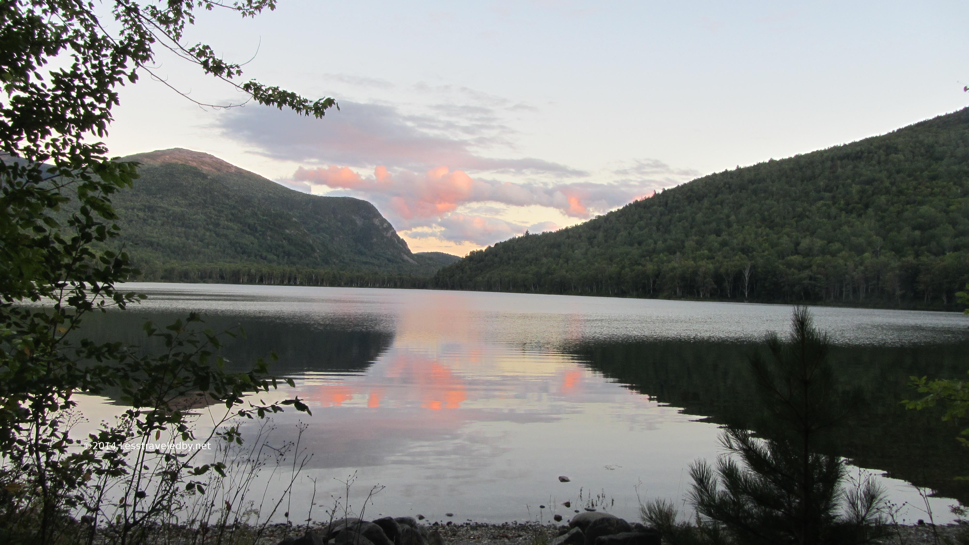
Beautiful late afternoon at the Long Pond Pines site. It was early September, but hot and still so what bugs remained were quite active.
Dead calm made for muggy to go along with the buggy, but you can’t beat still water for great reflections
Late afternoon sun almost made the trees look to be in fall color
Despite the weather it was a great night for sleeping on the water. Once the beaver finally clocked out for the night it was just me, the loon and a few thousand mosquitoes whining outside my netted tent.
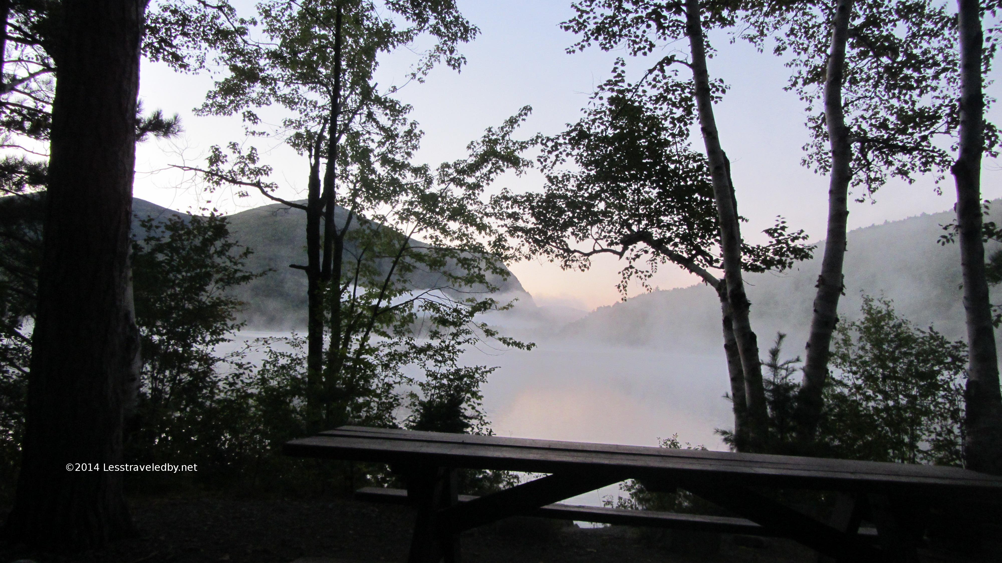
Dawn was in a word steamy. Totally still, warm and humid. I noted that I was sweating as I broke camp around 530a and realized it was going to be a day to be taking care of the body.
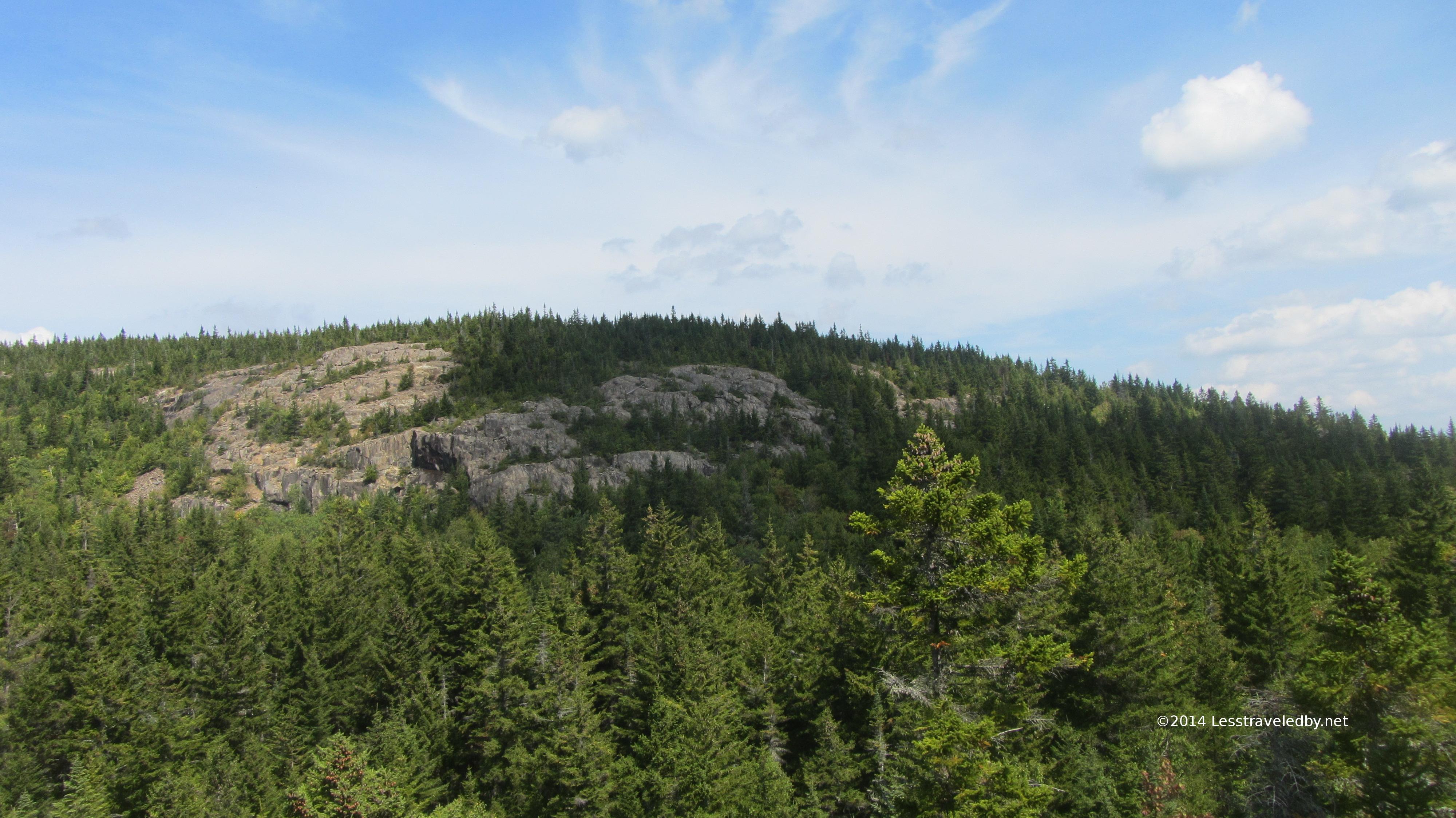
One last look at Barrel Ridge in the distance before leaving Long Pond Pines
I stopped at Middle Fowler North campsite to top off my water supply and camel a liter or so. While there I noticed the rangers had come through and toppled that tree I’d reported as ready to fall. Looked like they just pushed it over and moved the signs.
This spot also provided a great view of the next leg of my trail as it climbed up the high end of Barrel Ridge. North Traveler pokes up beyond as well.
Looking back across Middle Fowler with the north face of Billfish Mt behind the camp site
Never having visited the south camp site at Middle Fowler I was a bit underwhelmed when I found it. Also a bit confused because it showed up prior to the trail intersection rather than after as my maps indicated. Turns out the site had to be moved and it looks like they took a minimalist approach. It would be fine for solo or duo but seemed a bit cramped for a larger group.
Found this wonderful sub alpine bog near the top of the notch between N Traveler and Barrel Ridge. Bogs at elevation always seem a little special.
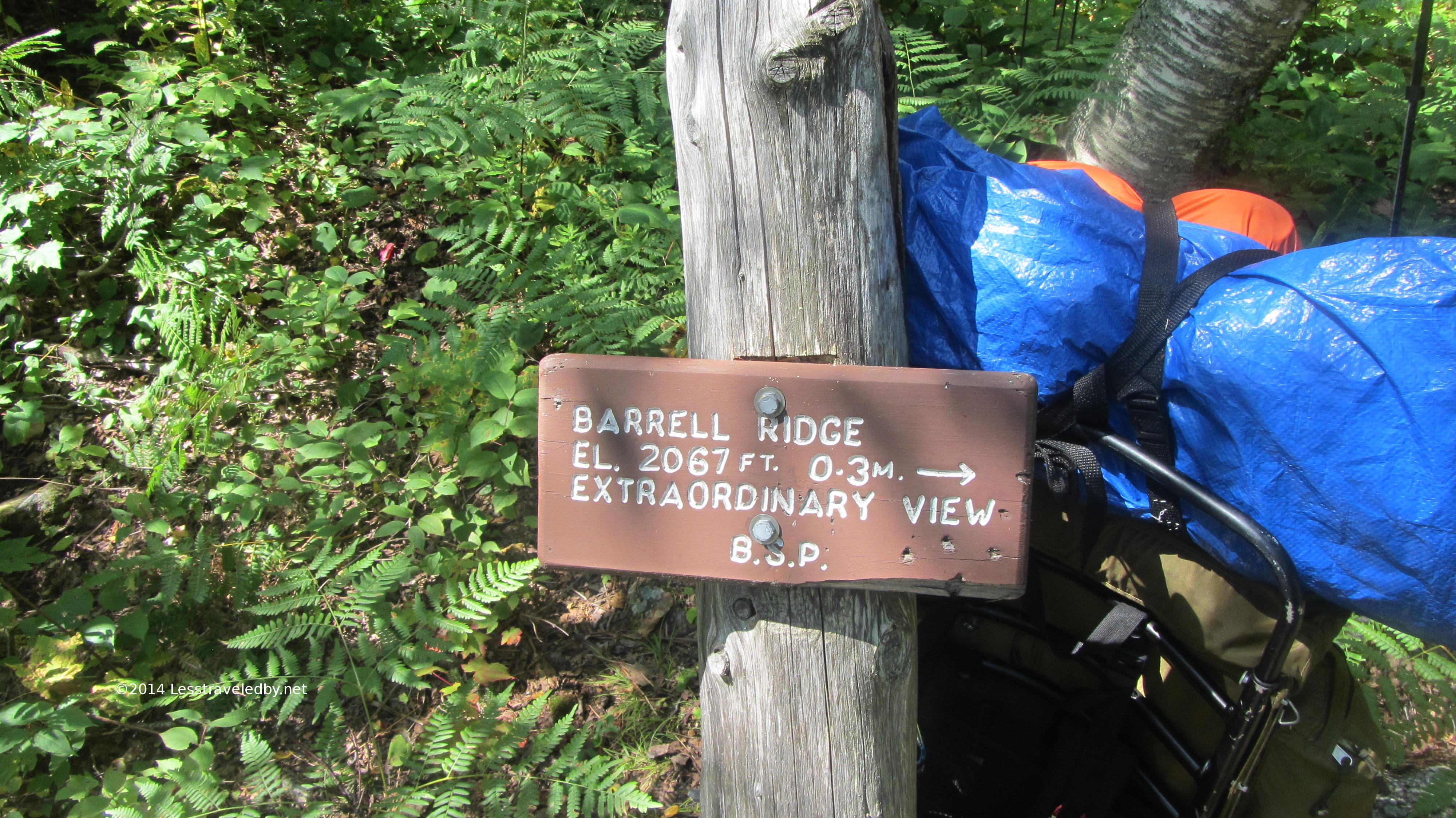
I stopped for some feeding and pondering at this sign. Things were really hot and steamy by late morning, but this sign was made to tempt hikers to the top. I poked my head around the corner to look and could tell that .3 miles was a serious climb. Conditions being what they were I had to leave this view on my to do list. In talking with rangers later they confirmed it is both a hard climb from this point and an extraordinary view.
Looking up at the exposed southern side of Barrel Ridge
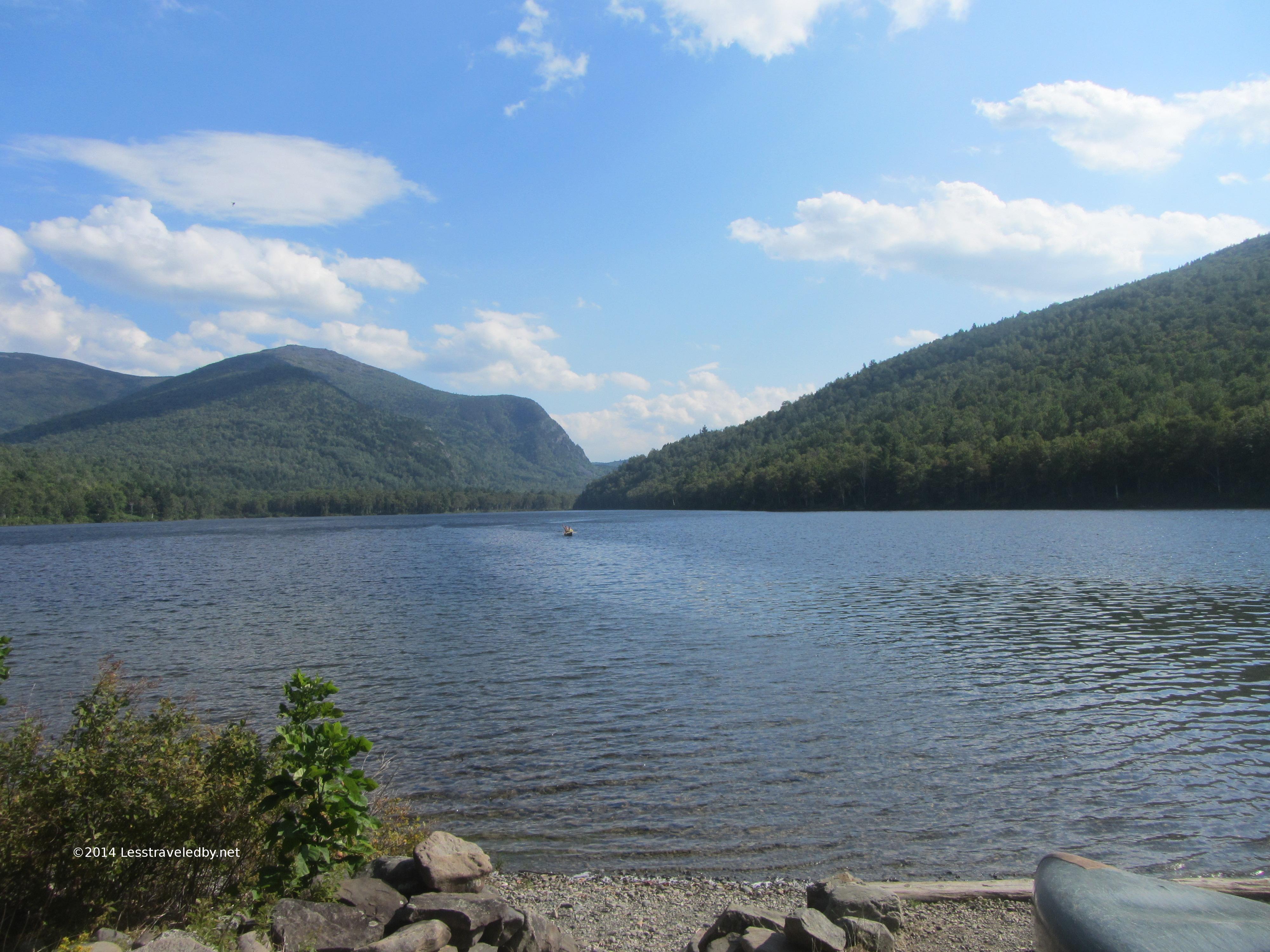
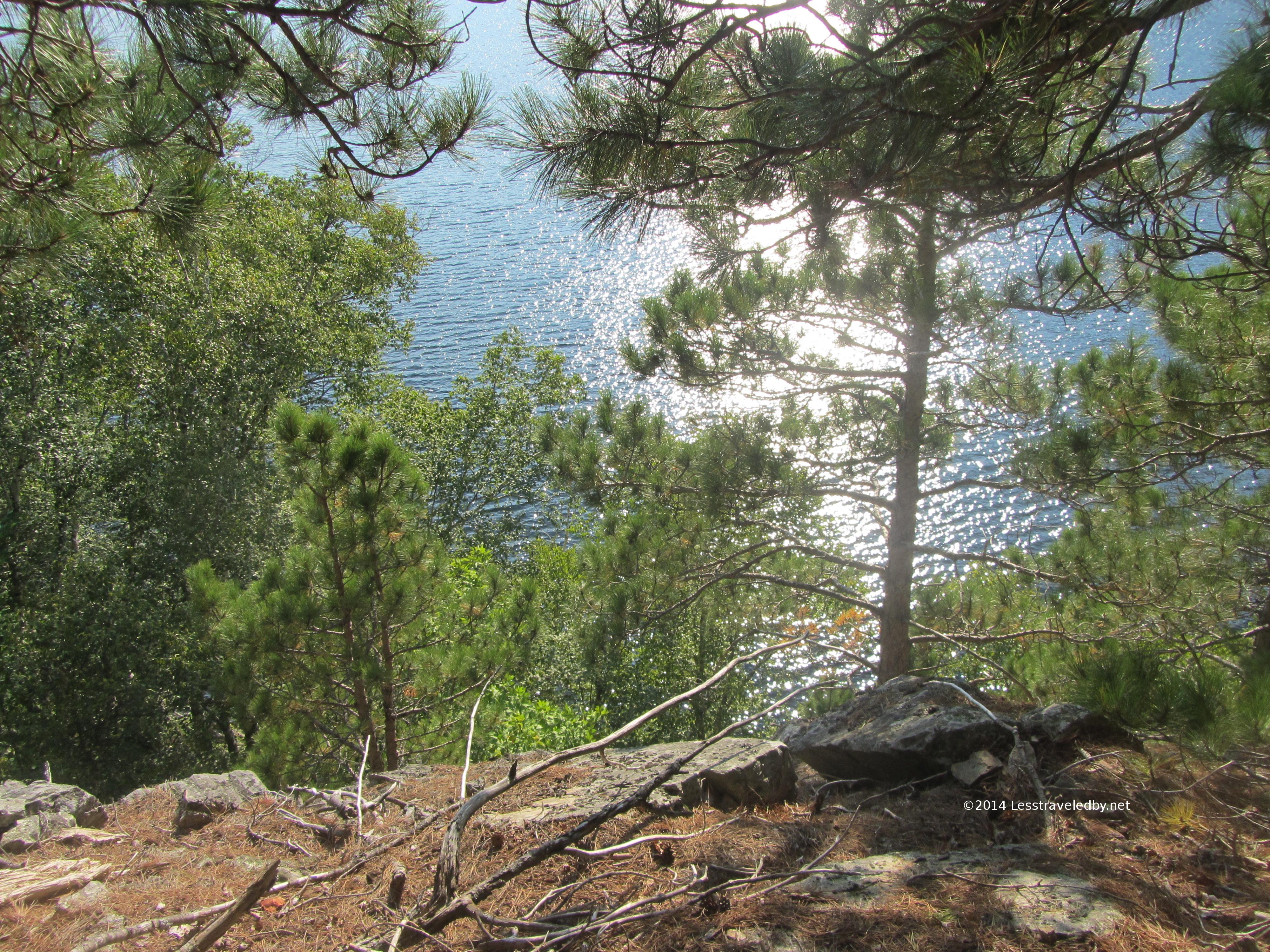
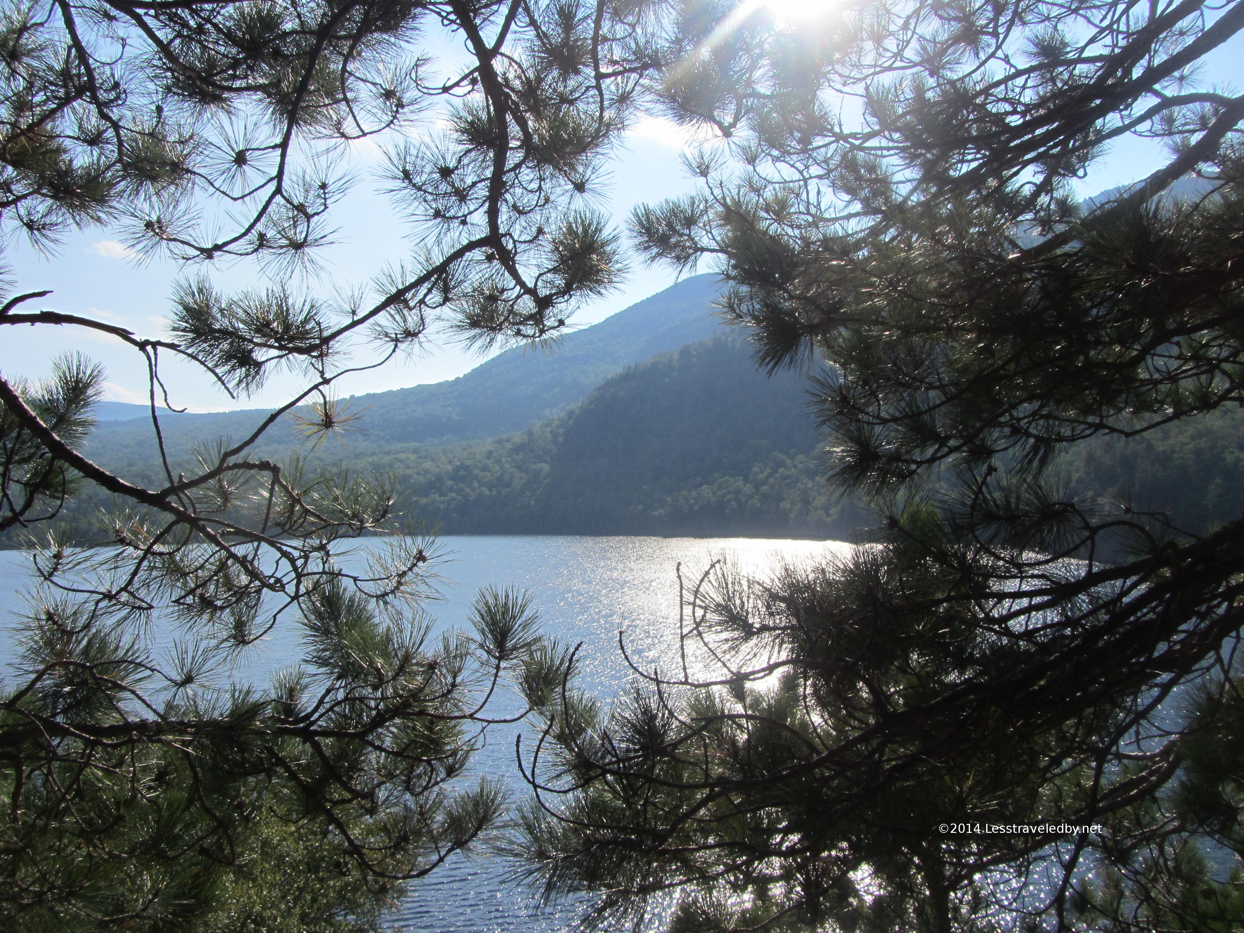
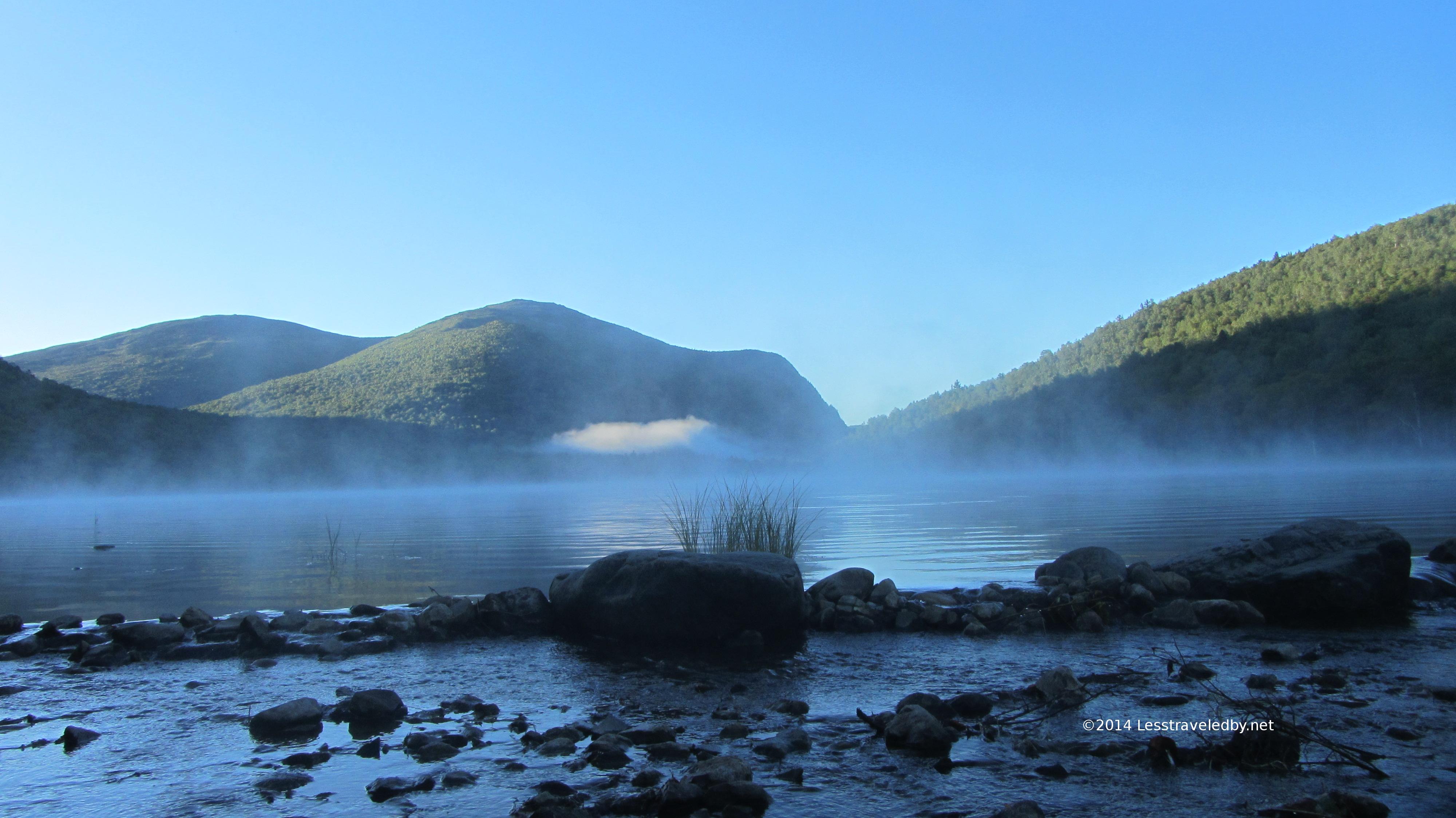
Looking across Upper S Branch Pond towards Pogey Notch.
I arrived at the South Branch Pond campground by 2p and while there was a bit of a breeze blowing across the lake the only way to describe the day was sweltering. By Maine standards and especially for September it was just way too hot. Temperature was in the low 90s and so was the humidity from the feel of it. I decided to be careful and spend an hour in the shade at the campground. I feasted on a variety of trail treats and filtered yet more water.
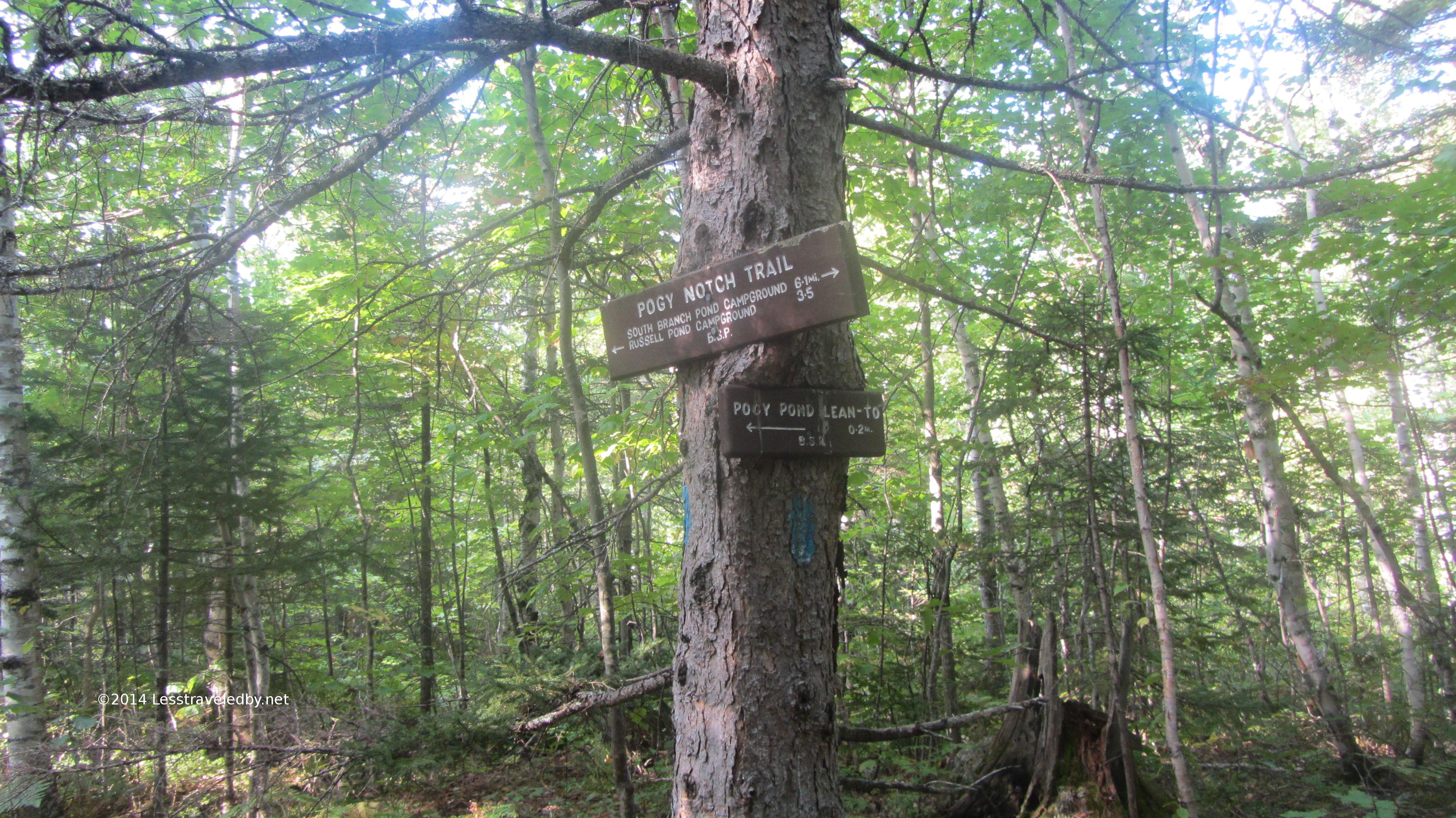
Leaving a little after 3p with an expectation of making the last 6 miles to my site at Pogey Pond before dark I was feeling pretty good. Knowing how the rest of this story turns out I can’t help but laugh at how naive that sounds.
I made pretty good time around the Lower S Branch Pond and met a very happy man at the intersection with the Howe Brook trail. He’d spent the day exploring the pools up and down the brook keeping cool all the while. His grin told me that adding this experience to my to do list was a necessity.
Shortly after that the trail seemed to dead end into the waters of Upper S Branch Pond. Confused I looked to my left and saw a giant slab of rock rising above me blocking the shoreline. I realized that I’d followed the portage trail instead of the one I needed and more importantly I was about to hit a very steep climb.
Looking down at the upper pond from near the top of the slab. The air in the notch was still and hot which is the last thing I need while climbing. I remember making a point to really reduce my pace to avoid overheating and stopping for these pics was a great excuse to catch my breath.
High above the pond I could tell the sun was headed for the far side of the notch, but with a long twilight I still expected to reach my site before dark. Again, with hindsight it is easy to see the warning signs, but I missed them at the time. My pace really slowed and I was taking more and more breaks. Thinking I’d soon reach camp I didn’t bother to keep eating and that did me in.
Darkness came and I was still on trail. Bonking hard, my stomach churning acid in futility but refusing to let me eat I had to admit I could no longer make out the trail. Dropping my pack I realized that not eating wasn’t my only mistake. That morning while breaking camp I did something I’d never done before; I left my headlamp inside my tent and at the time figuring it was not going to be a late day it didn’t matter. Thankfully I had my pop up camp lantern accessible though I had to hang it from a hiking pole and hold it aloft to keep from blinding myself.
Telling the story later to a ranger he described my progress as hobbit-like as I followed my bouncing lantern through the darkness. I finally reached the site at Pogey Pond around 9p and set about attempting to recover. I made Gatorade, I made soup but little wanted to stay down. Knowing the next day was short miles helped, but I also knew a major line of storms was expected and I needed to get down from the notch I was in as early as possible.
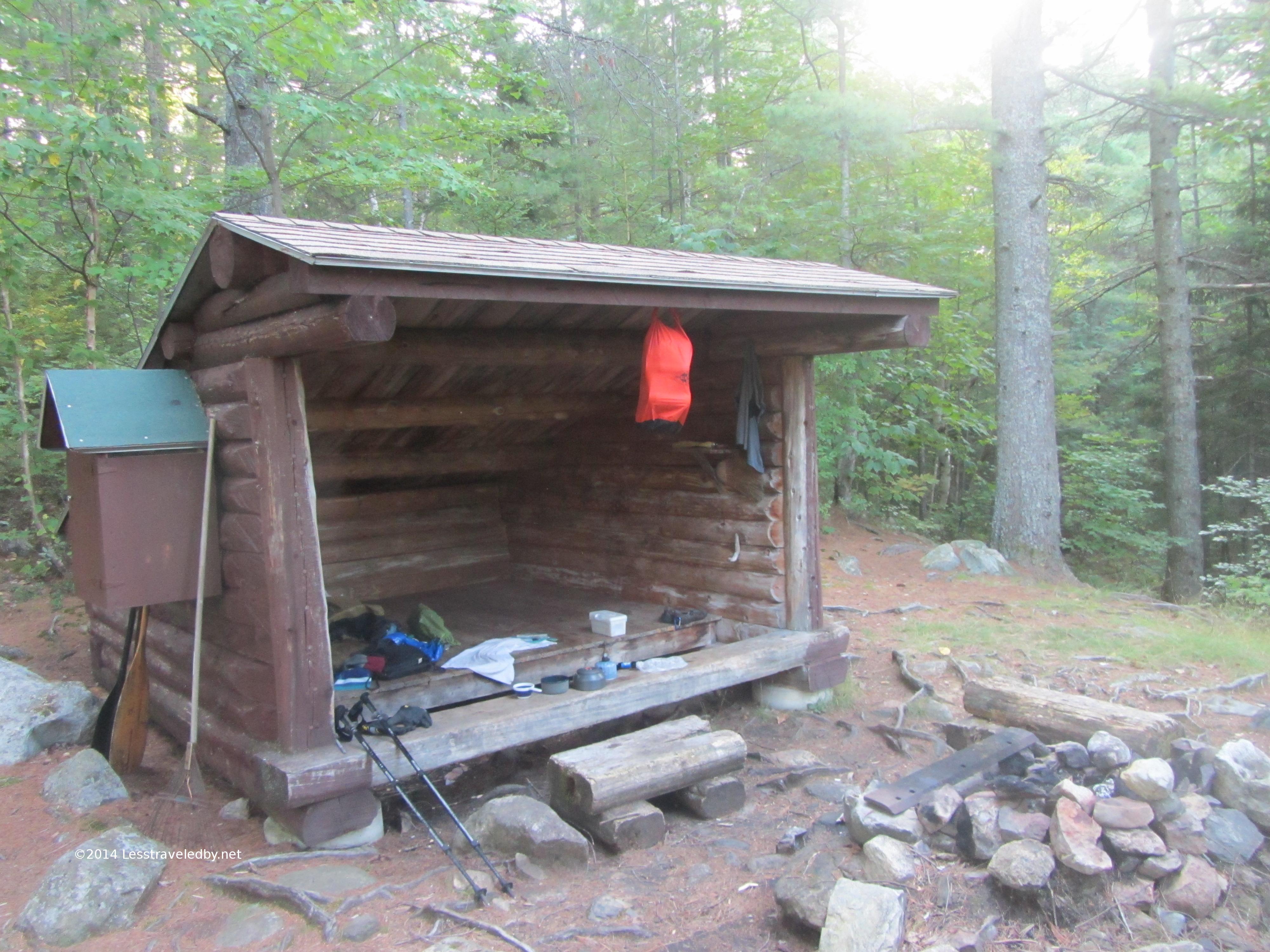
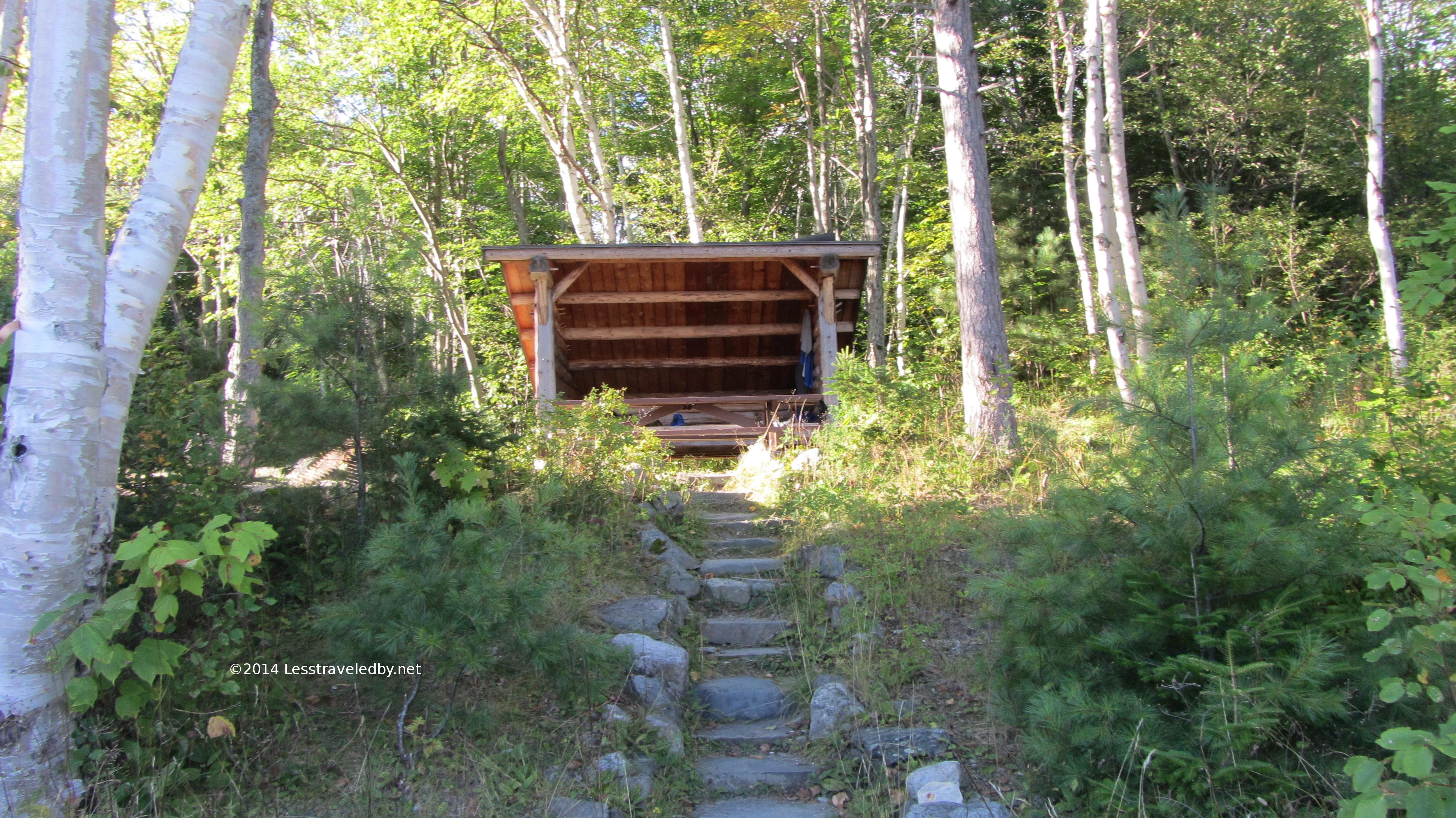
The lean to at Pogey was on the small side for a party of 4, but plenty of room for me. There were several grills and a cast iron frying pan hanging on the wall which leads me to think there might be some fish in this pond. It has to be terribly buggy earlier in the year, but I would like to spend a couple nights here in the future.
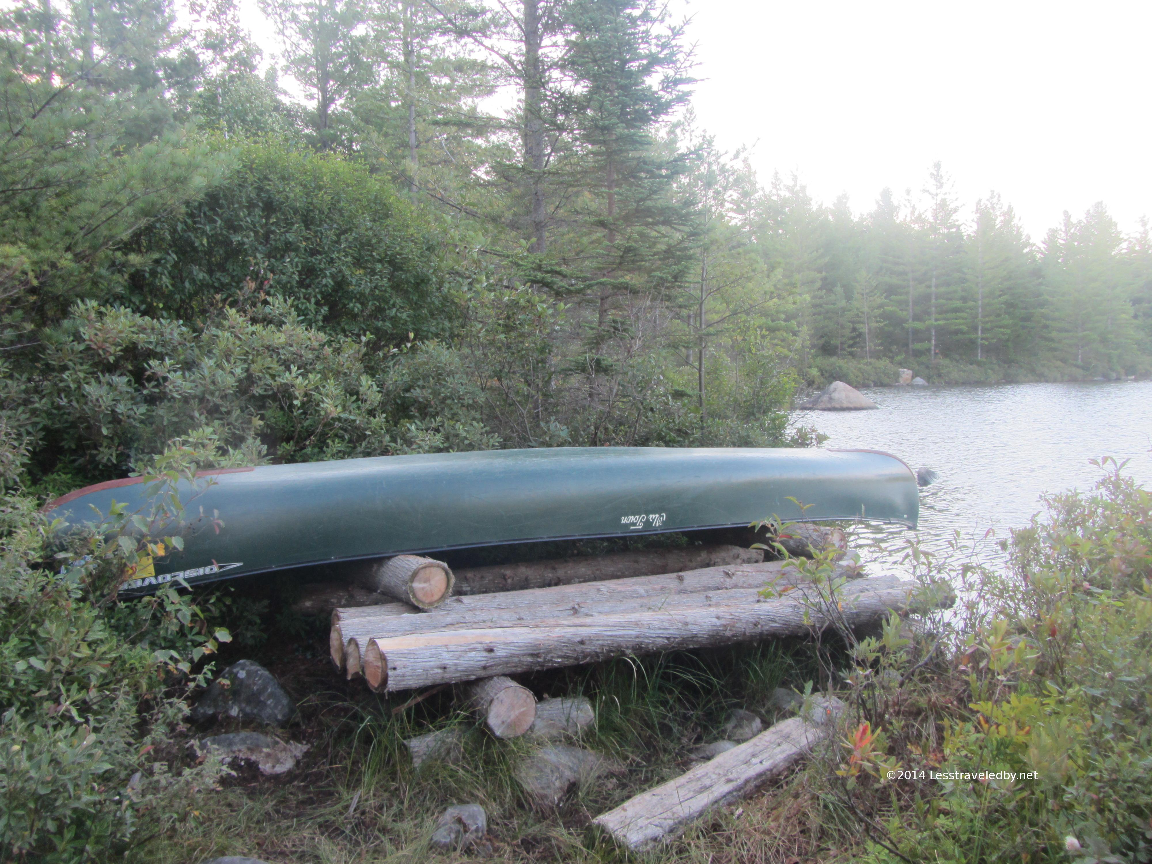
Pretty short toss to get the canoe into the pond from here.
The day started out hot and muggy again. If not for the approaching storm I would have stayed but I knew I had a deep water crossing ahead and didn’t want to risk it getting too deep with runoff. The next day called for a 17+ mile day so I couldn’t afford to get caught on the wrong side of that crossing.
By the time I made the 4 miles to Russell Pond camp my priorities had been reassessed and changed heh. My stomach was still very angry and without lots of food recovery wasn’t going to happen. The idea of doing big miles the following day became entirely unrealistic. Doing the math on food supplies and trail I made the call to stop at Russell and unless things vastly improved overnight I’d head back north through the park the following day.
The ranger there was able to change my booking for a nice lean to right on the pond and I spent the afternoon working my way up the food chain. Starting small and ending with a full dinner I rode out what turned out not to be such a big storm and got a good nights rest.
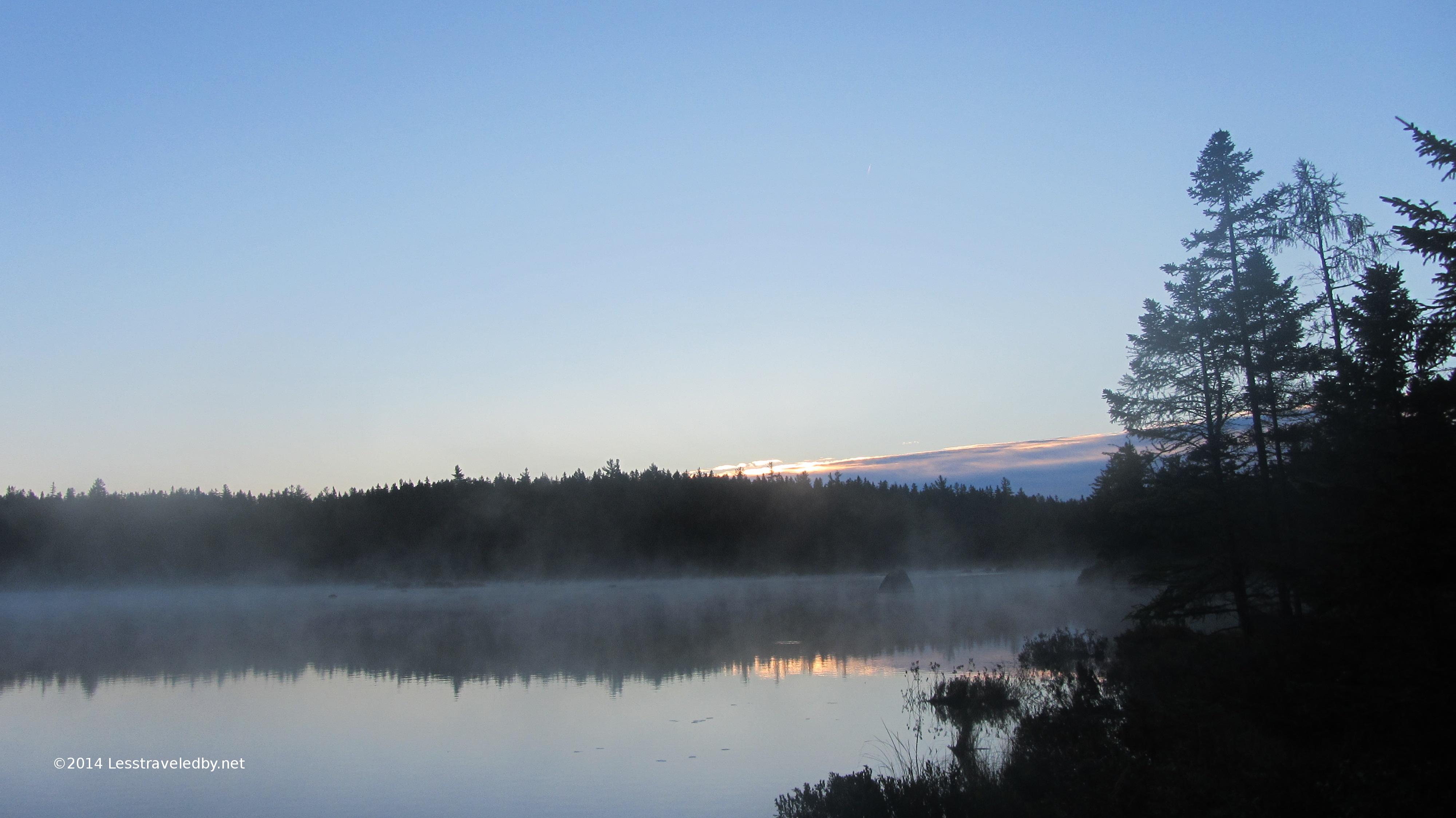
Just before dawn at Russell Pond
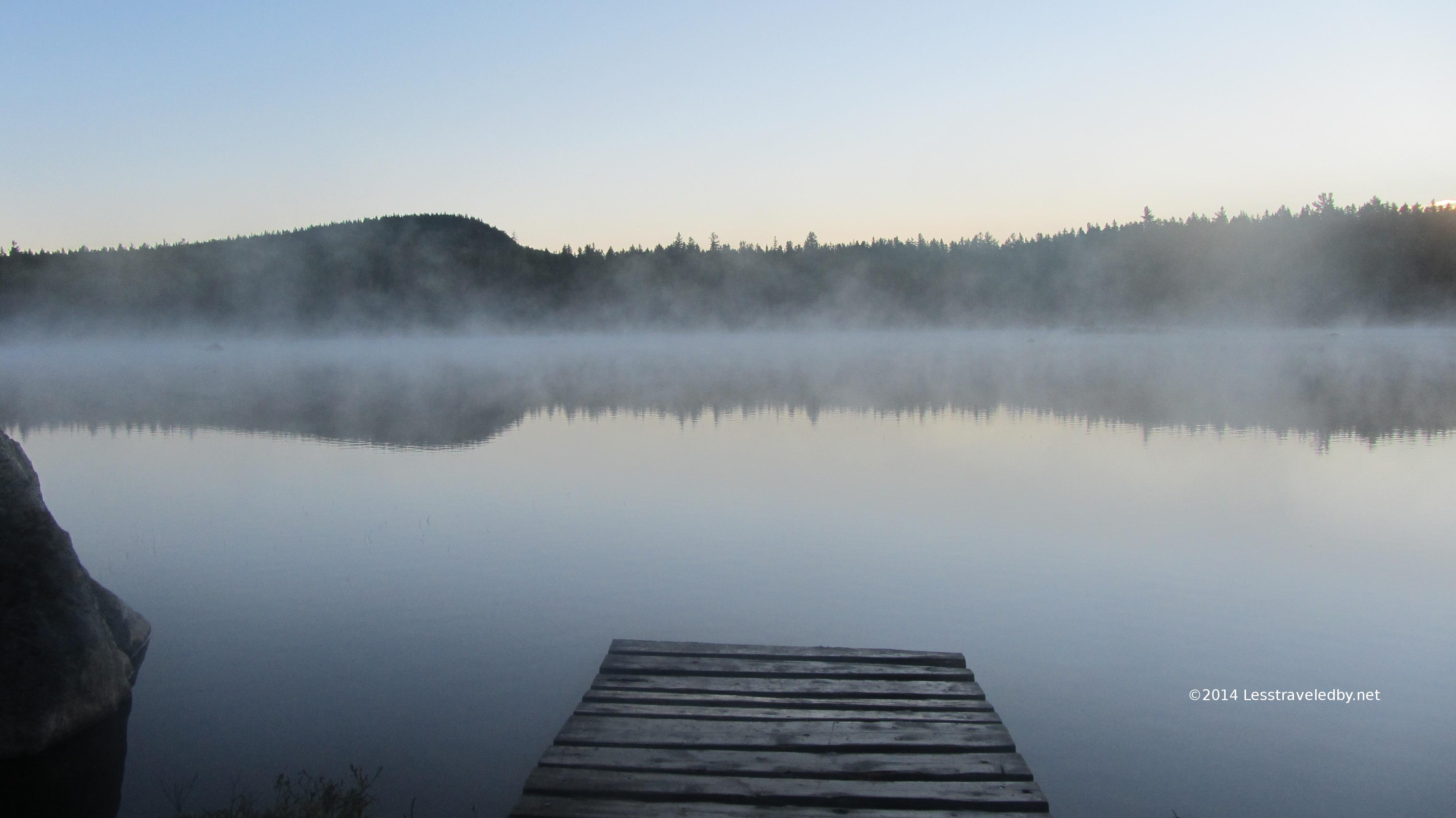
Steamy morning at the Russell Pond canoe dock
My decision to go back the way I’d come confirmed I had time to enjoy the sunrise over the pond.
The long bog board bridge headed up towards the ranger cabin at Russell Pond
The ranger at Russell and I go back quite a few years. Not sure if he remembers me since he deals with so many folks, but I look forward to seeing him every year. Since I missed him on my July trip through this area I was glad he was on duty this trip. He used his radio to get me a reservation back at the South Branch campground for that night and I was on my way.
The 10 miles or so went pretty fast, but by the time I reached the campground I was glad I hadn’t tried to stick to my original plan. There is a big difference between a 10 mile day and a 17 mile day!
This is the view of my lean to from the pond
Sunset series from the lean to
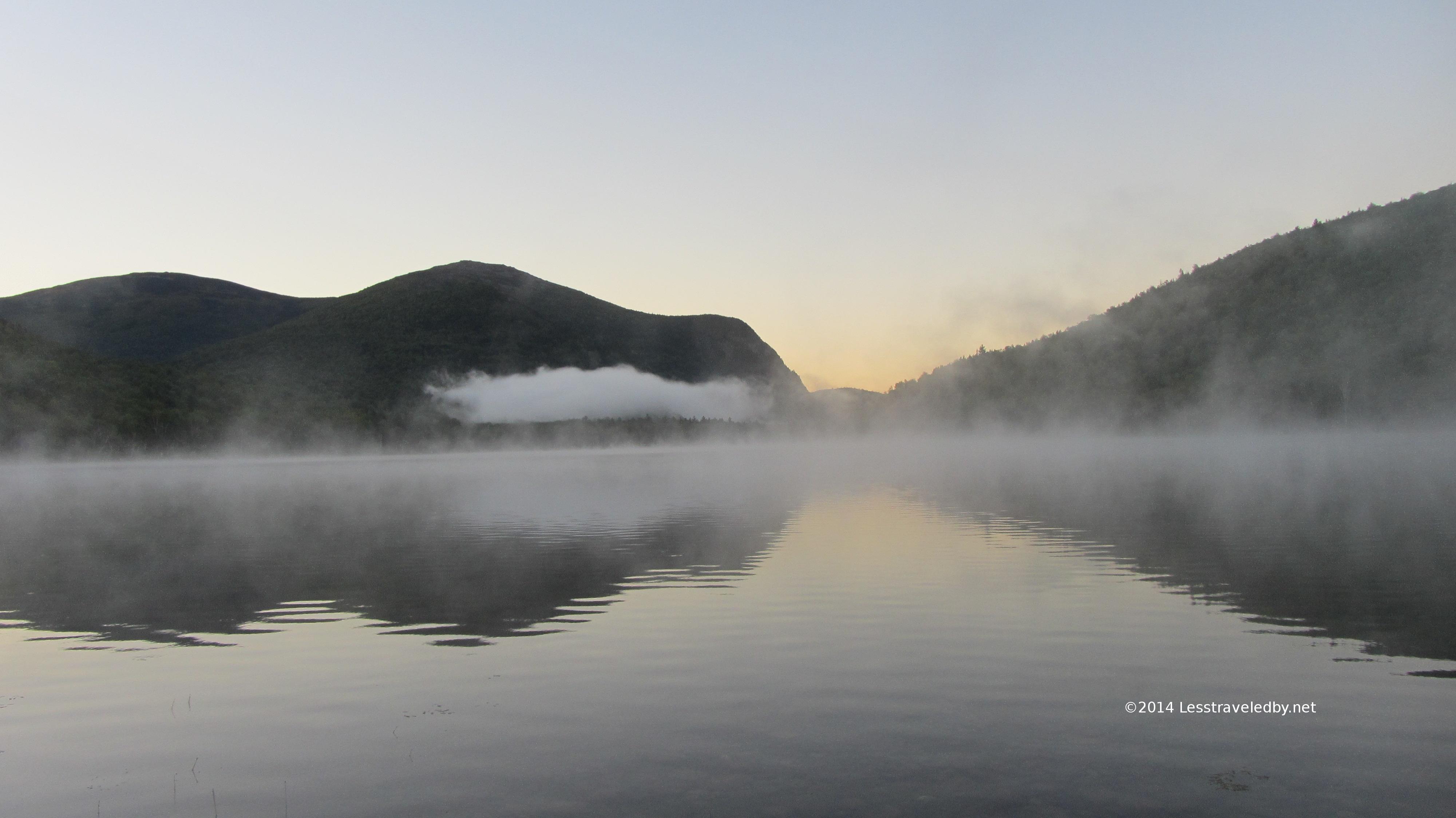
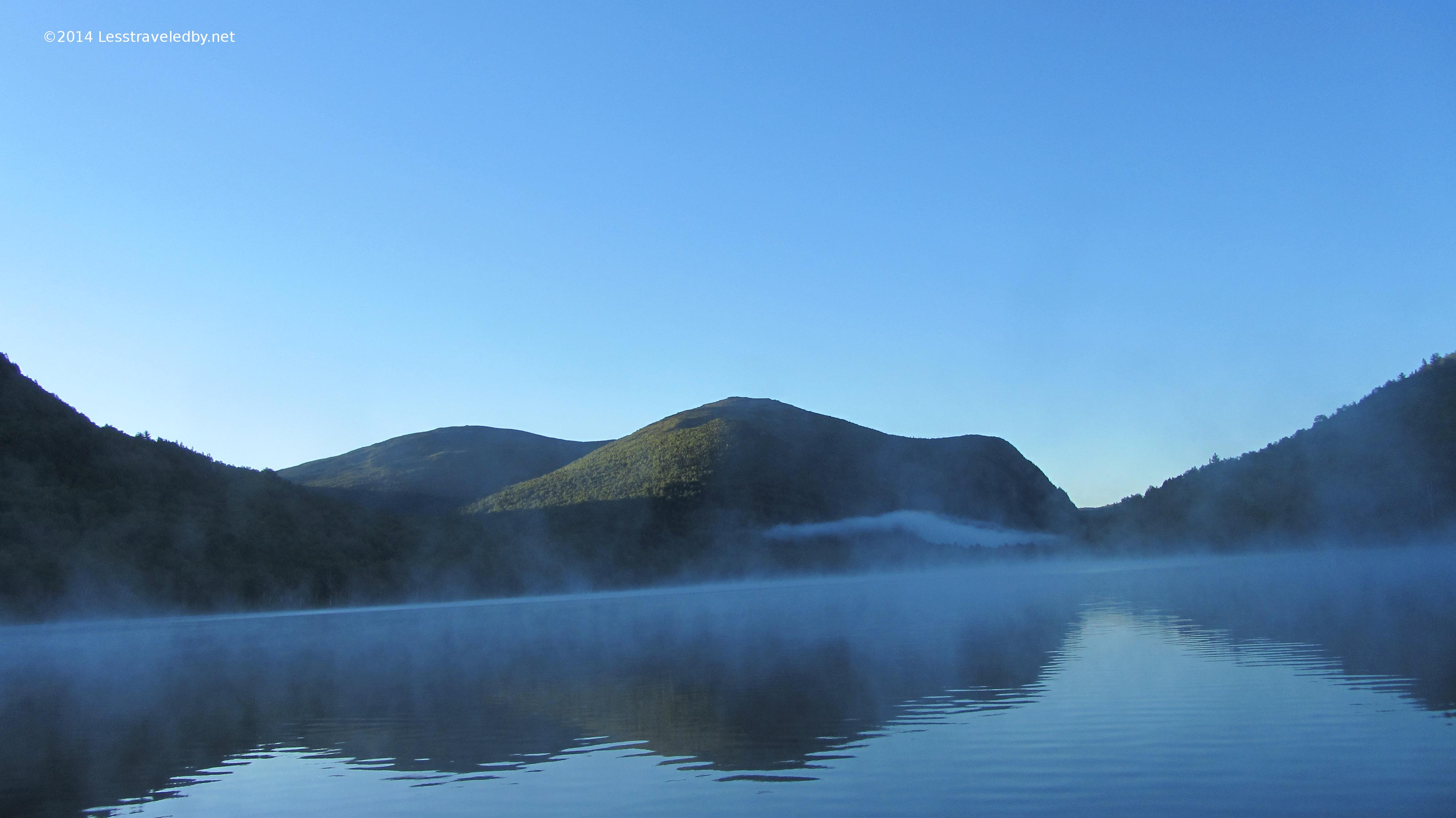
Sunrise series from around Lower S Branch
Just three nights after almost steaming to death this last night was in the mid 30s. Much more expected for September in Maine and much more appreciated. The cool air made for a different sort of steam as the sun came up.
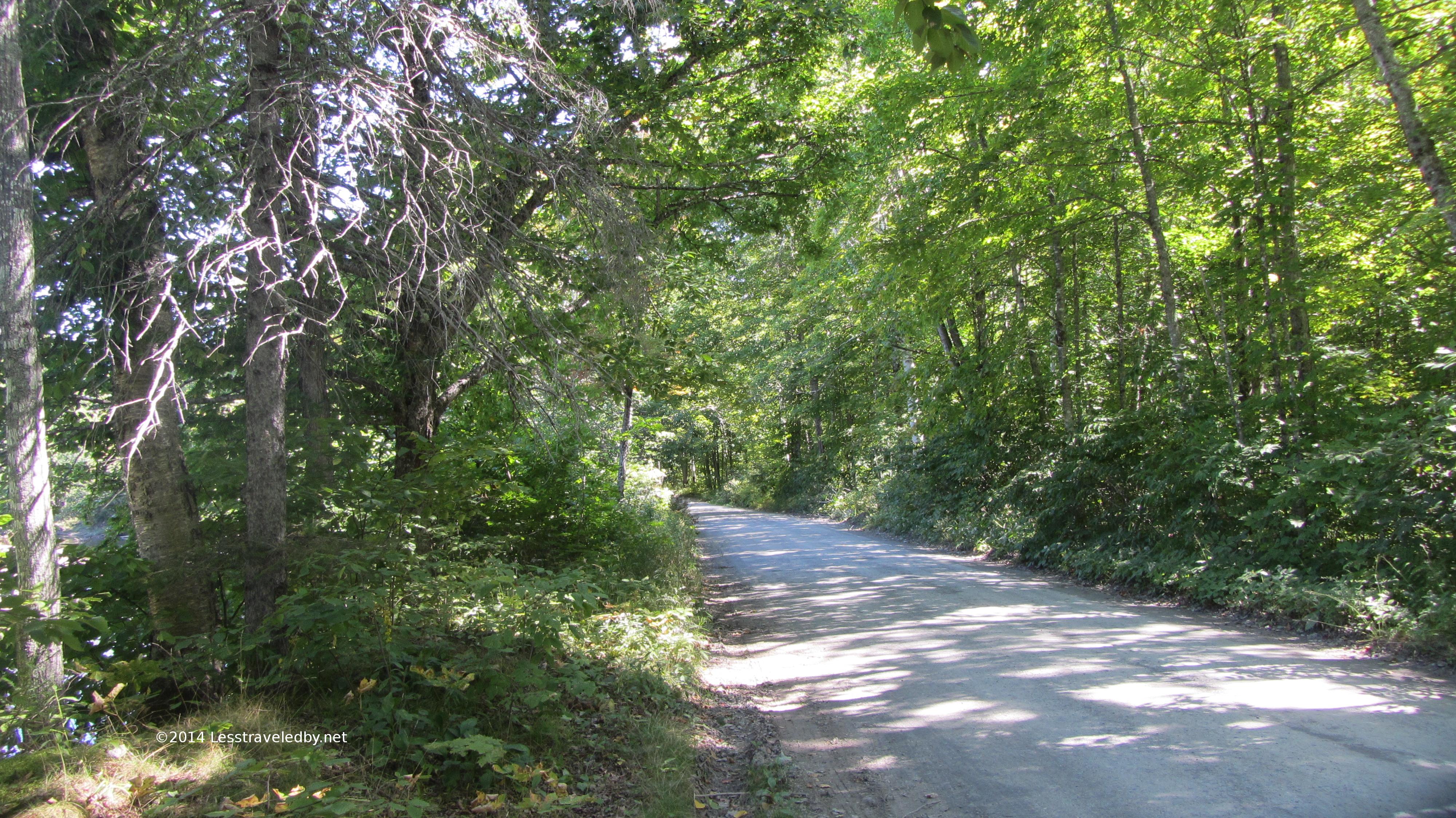
The road walk was a bit longer heading out this way, but the last few miles were along Trout Brook so quite pretty.
I was able to exchange my unused parking time for a giant ice cream cone back at the campground where I’d parked so even though I cut the trip short I can’t complain too much. Of course surviving to tell the tale was also appreciated.
Looking back on the day when things went wrong it is easy to see the mistakes, like the headlamp in the wrong spot and the not forcing myself to eat while I still could. Lessons to be remembered and hopefully learned from, but there were good points too. Despite bonking hard I kept my wits enough to make it to camp when there were ample opportunities to panic in the dark. The big effort I made at staying hydrated that day also helped so when things got rough I wasn’t already two quarts low. Making the choice to turn back rather than push on was also probably a really good idea.
So since I survived it was an adventure not a failure! Some great pics, some great memories and a chance to push some limits and survive. Even the bad days are pretty good on the path less traveled by
Since our first attempt at back country camping with a three year old went so well we decided to do some more family adventuring. The first night was again spent at Lower Fowler Pond on the northern side of Baxter State Park. You can read the adventure report on our previous trip there for more details. This report picks up on the second day as we headed north to explore a part of the park that we hadn’t visited before.
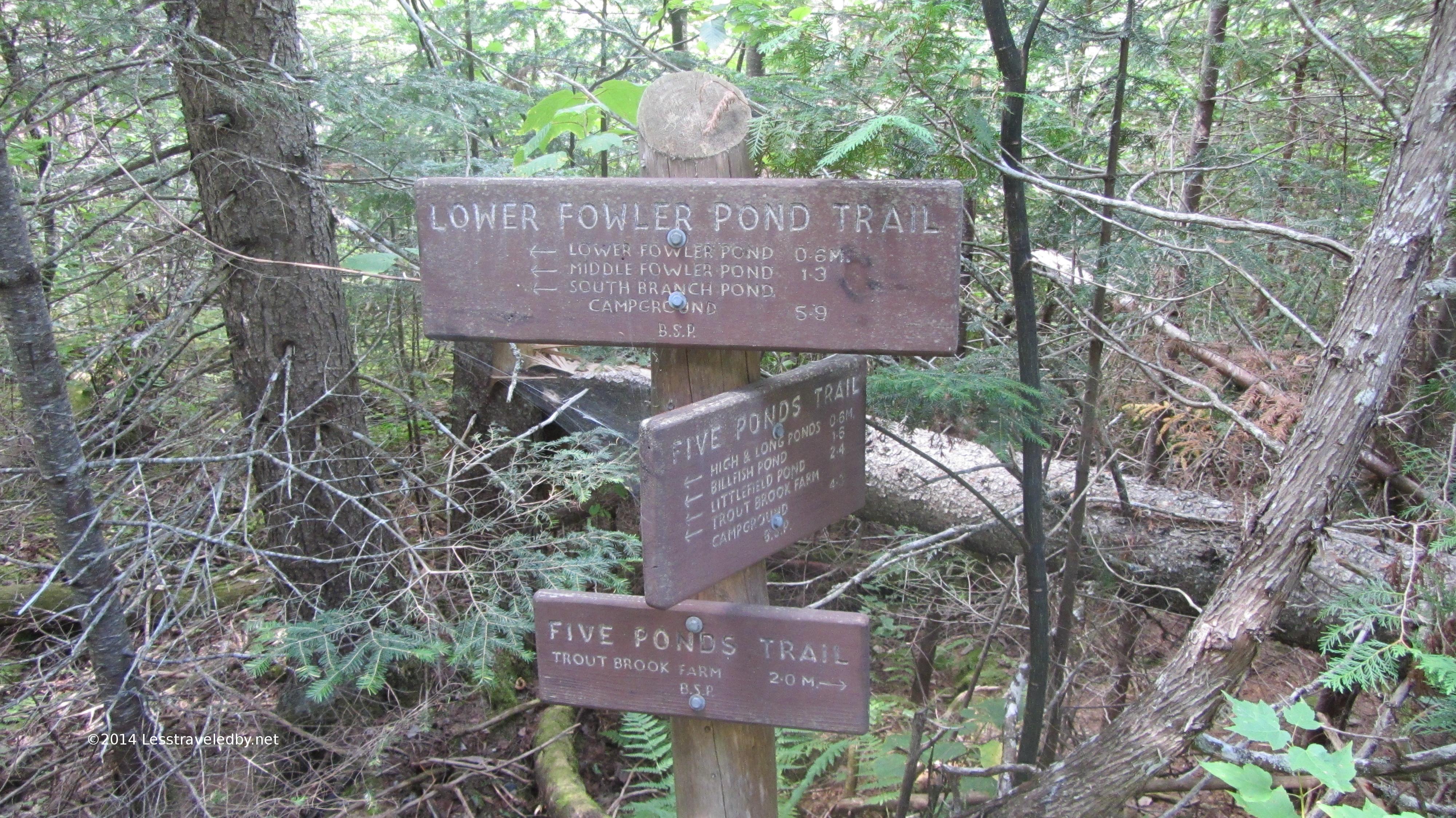
Less than a mile from our camp brought us to the Five Ponds Trail intersection. There were some muddy sections on this part of the trail with one small water crossing, but once we turned the corner most of our route was on top of a long esker. Created by glaciers an esker is a long deposit of sand and gravel and this one created High Pond by trapping water above it. It made for an interesting walk with ponds visible on both sides at times.
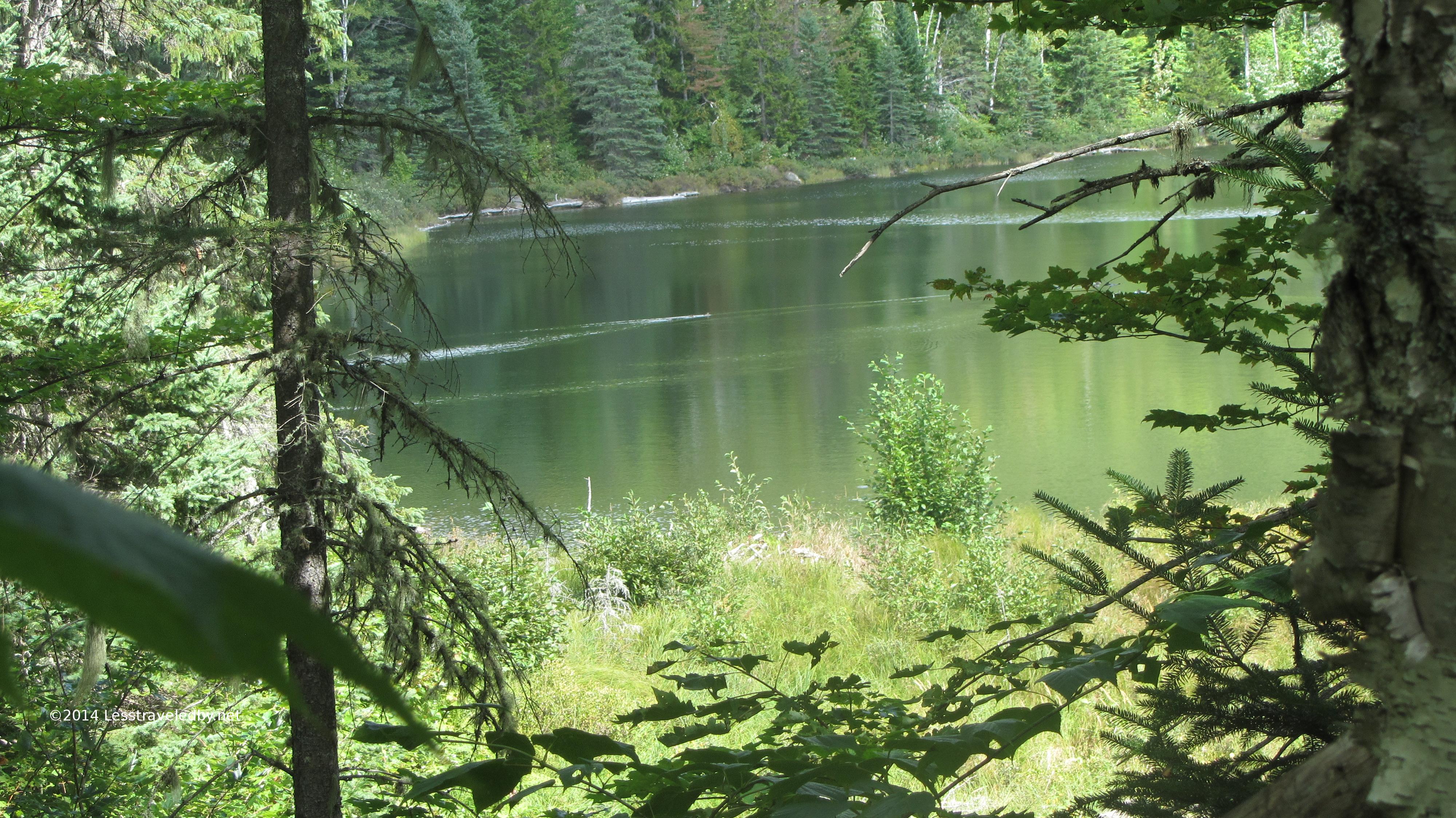
High Pond seemed shallow and was quite popular with the local duck population. We watched several groups swimming about as we walked along the esker. Eventually the trail dipped down to cross a mostly dry outflow that sends water through the ridge and into Long Pond.
One more good look at High Pond from the outflow.
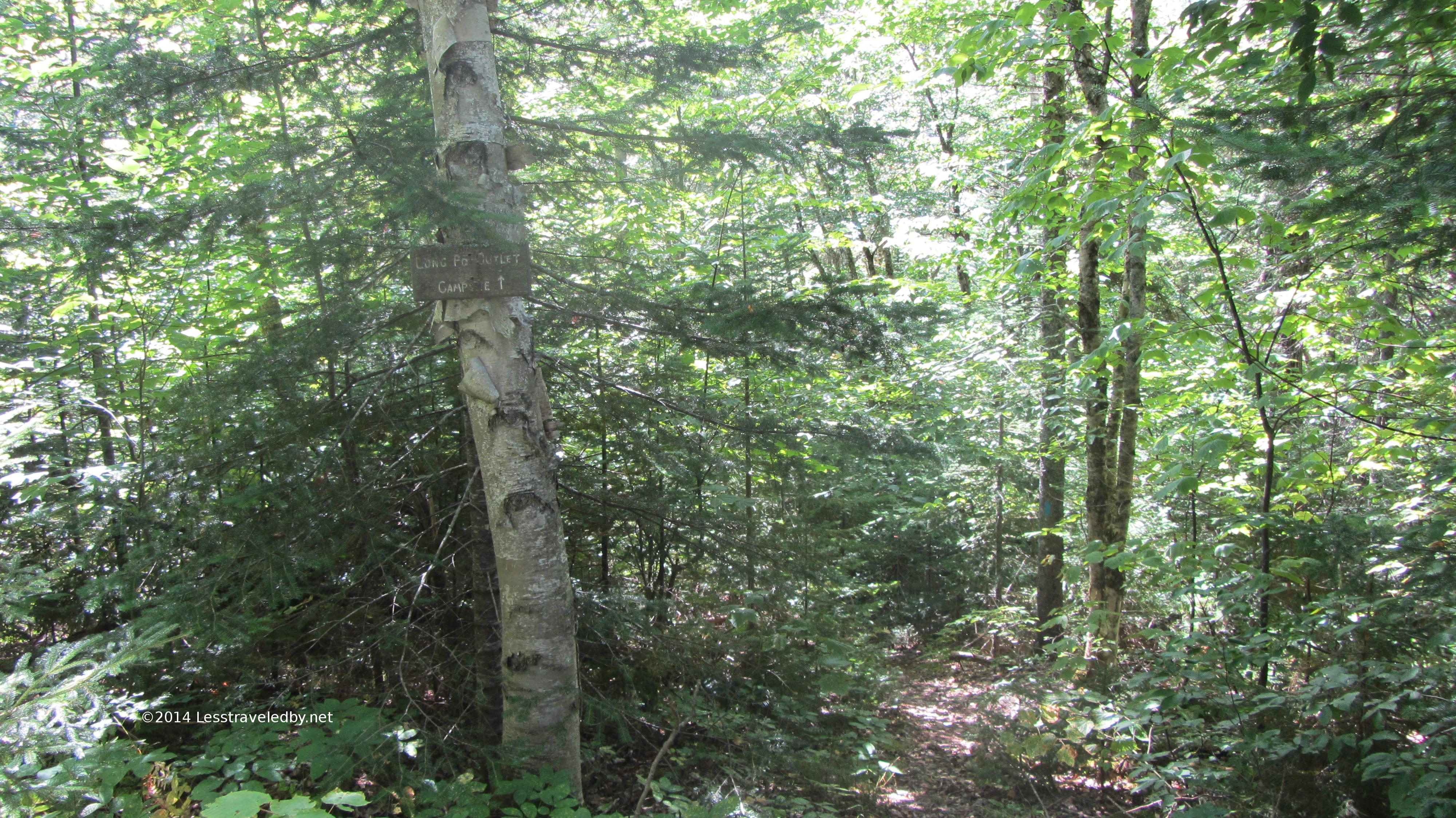
If you’re visiting this area be warned that while intersections are well marked with big signs some of the camp sites are not. This is the side trail to the Long Pond Outlet site. That sign doesn’t exactly pop out at you even if you are looking for it.
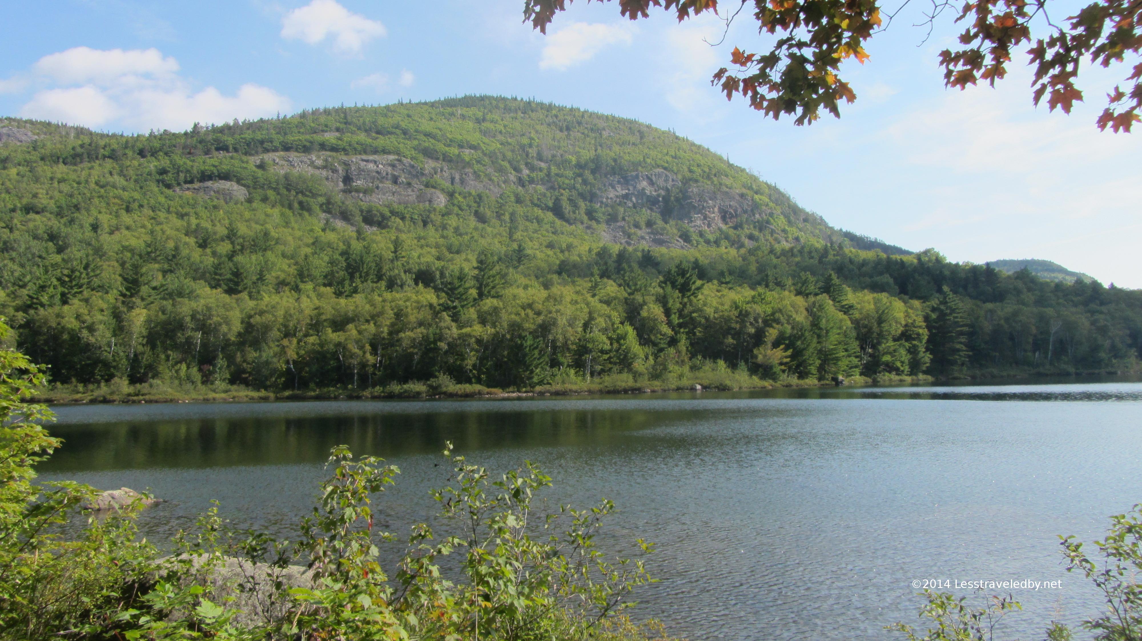
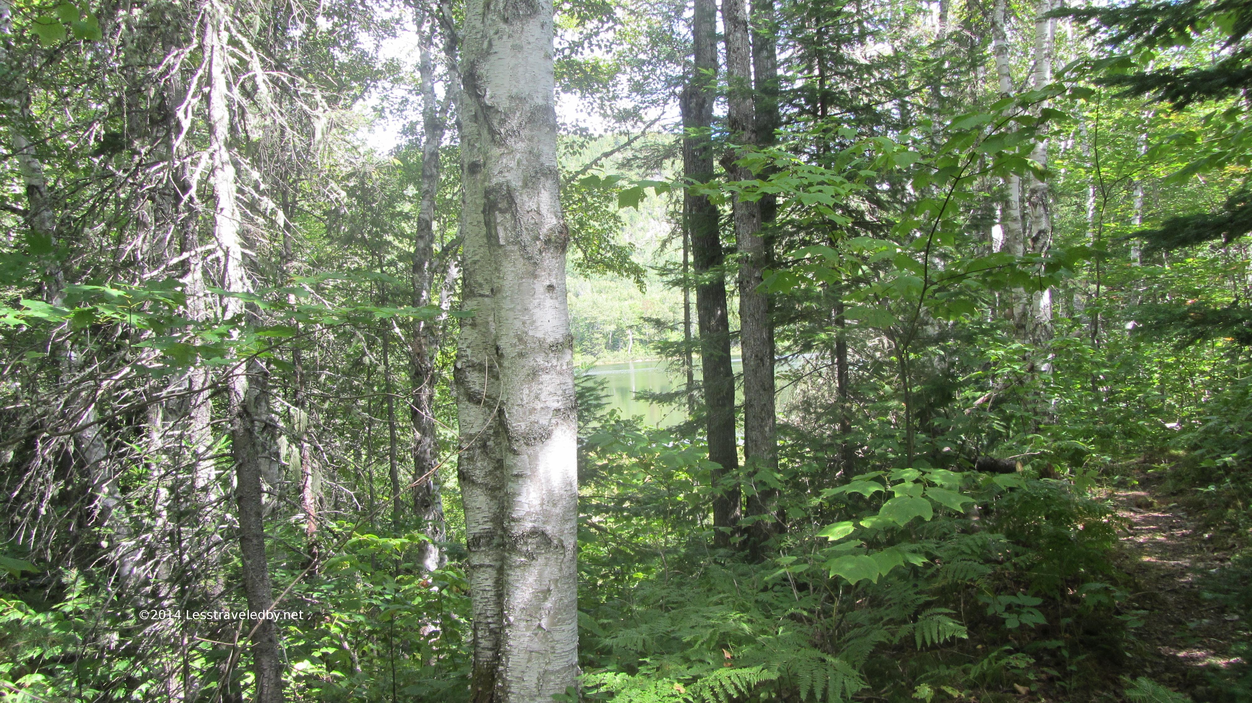
Just a bit of Long Pond peeking through the trees.
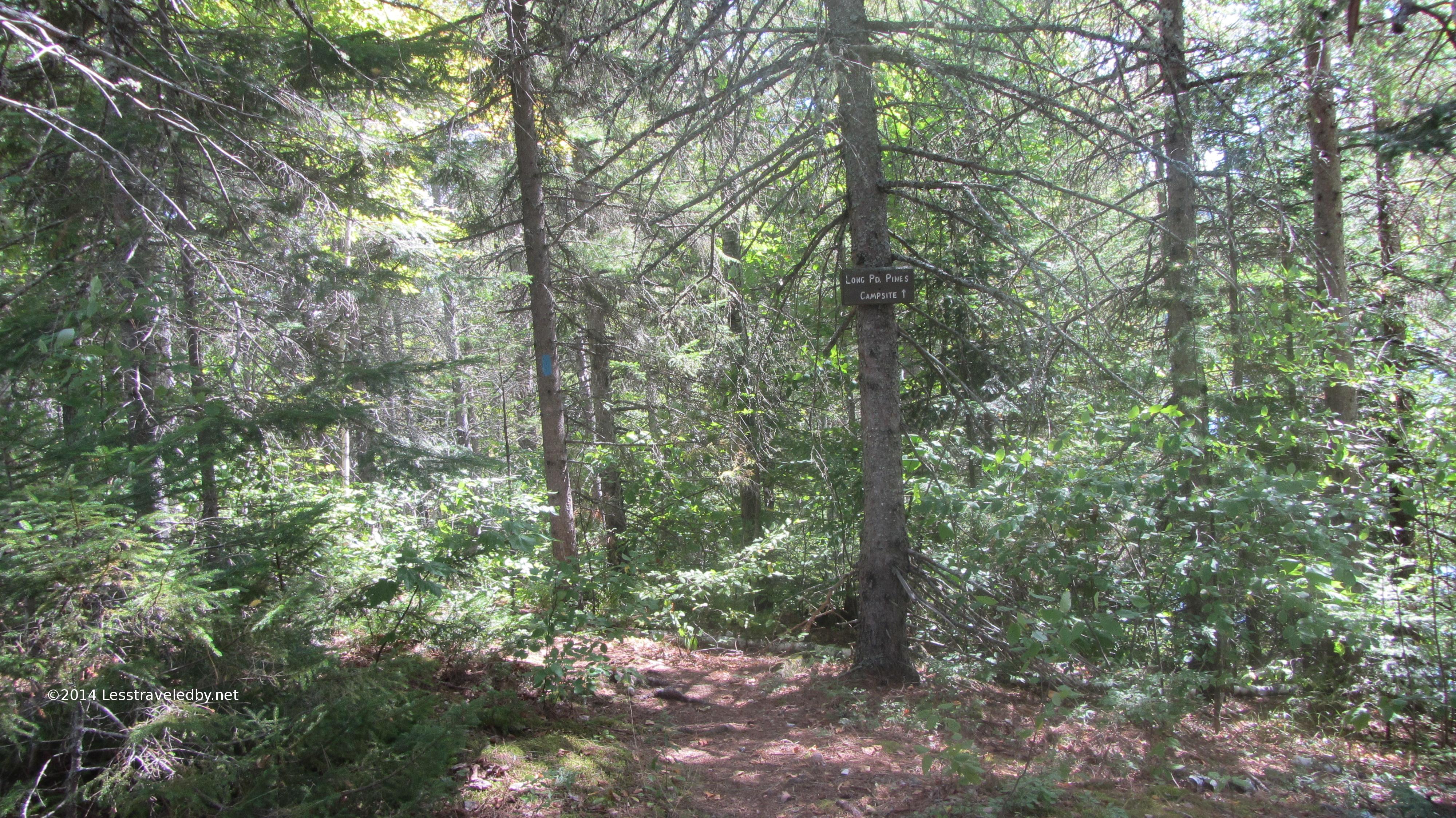
The sign for the Long Pond Pines camp site was more freshly painted, but still a bit hard to spot.
The fire pit inside a large pile of stones was only used to make a small marshmallow fire, but would be great for colder weather camping.
This site has a large open area under the pines perfect for our three person family tent.
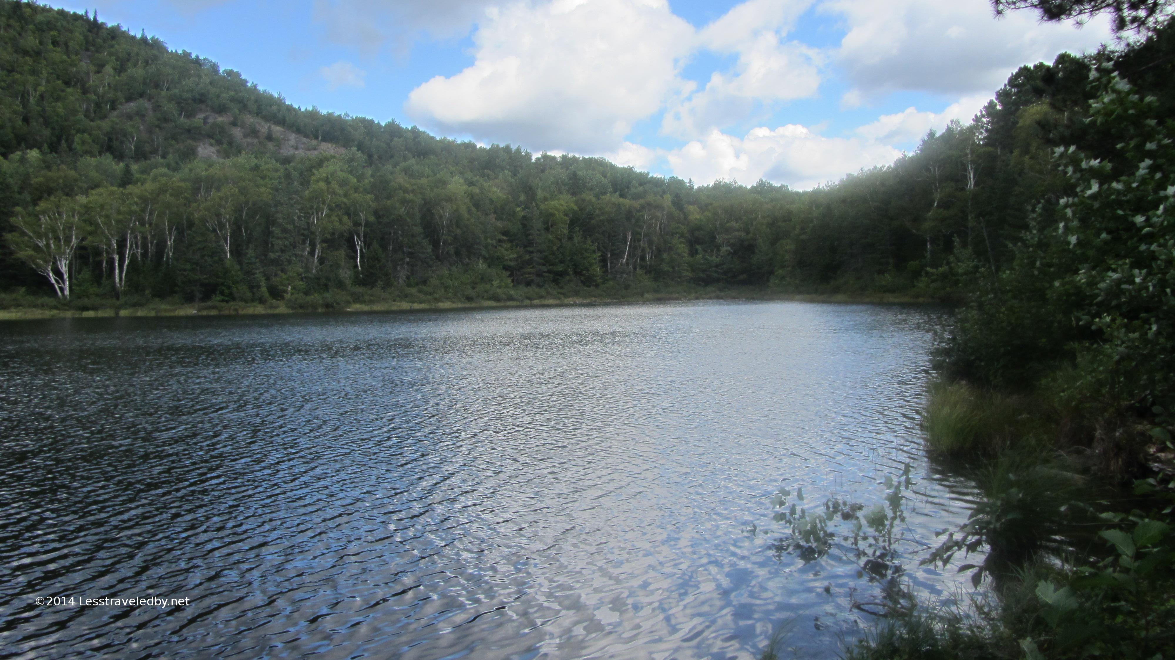
The site has a great view of Long Pond and even a bit of Barrel Ridge in the distance.
After a peaceful night listening to the water and a lone loon the girls were ready for some breakfast.
Morning started out looking a bit threatening
But the clouds broke up enough to let a little late summer sun through.
Perfect for a little more family adventuring…
We retraced our steps back to the car and met a father/daughter pair on the trail. The girl was 6 and they had been out hiking for a week already in a series of short trips exploring the park. Our 3 year old isn’t quite ready for mountains, but this girl had managed to do the Traveler Loop. We were impressed and their company made for a fun walk back to where we’d both parked.
This second trip confirmed that the Fowler Ponds area of Baxter is a great place to get the kids started. The terrain is relatively gentle and just a few miles gets you access to some great sites. We’ll definitely be headed back again next season!
With 53 pictures and 3 short videos from a four night backcountry trip that ranged from the popular Mt Katahdin to the remote Northwest Basin and around Russell Mt.


 A year ago I started this site as a form of therapy to help me get through trail withdrawal during the long winter months. Sure I was hiking and even camping out in the snow, but lacking the right equipment for extended cold weather adventures I definitely had too much time on my hands. I wasn’t sure exactly what my plans were for the site then so I was able to let it form naturally.
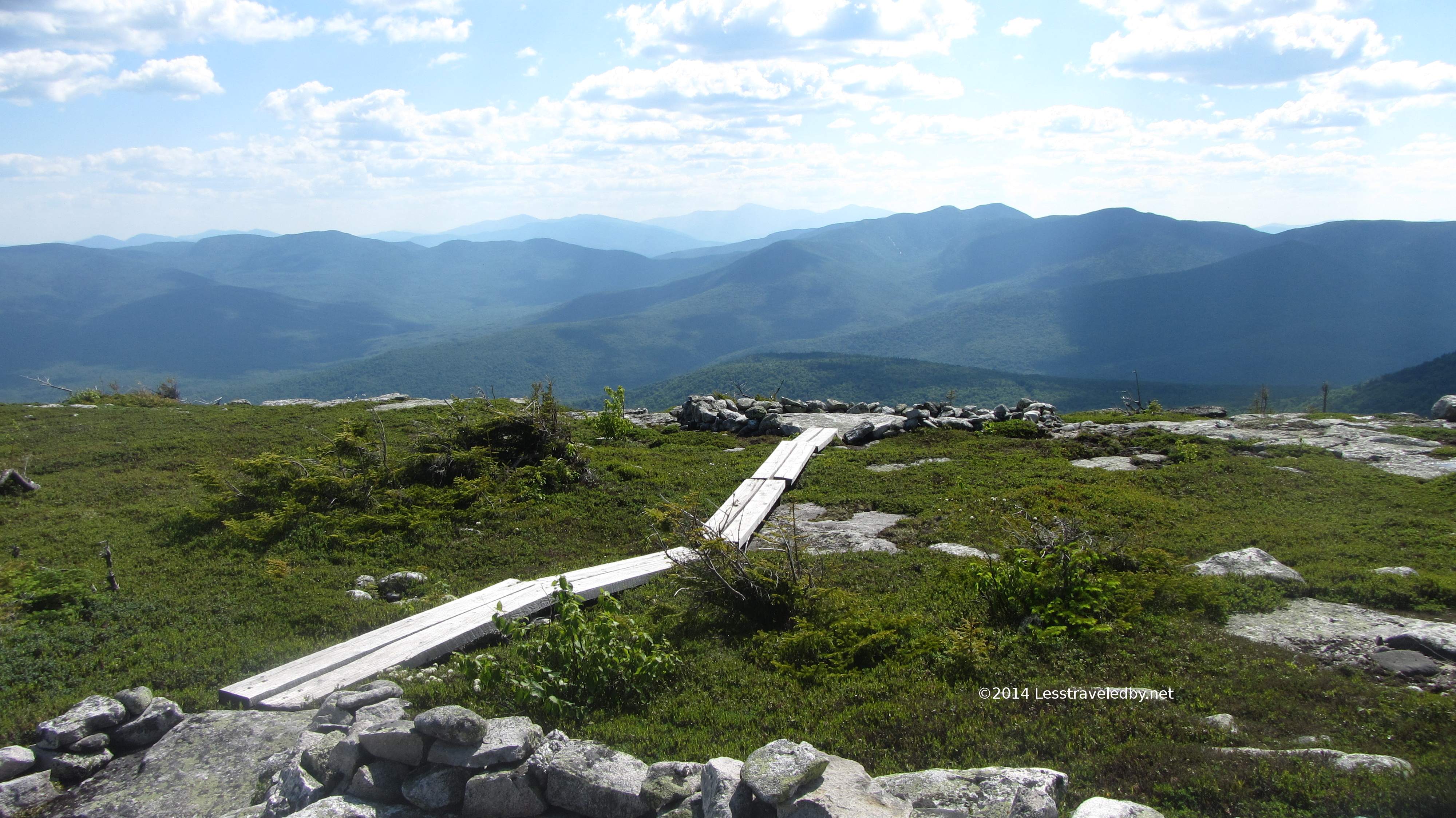 Thanks for reading or at least looking at the pics 🙂 I’ll be updating the review page soon with a slew of reviews with a mix of gear and food items. Maybe I’ll even get around to finishing up the LNT series, but no promises. Just ordered a new top quilt and am working out plans to build a pulk so hopefully there will be some snow covered paths less traveled to post about soon.